A recent study says erosion and runoff are hurting wetland systems in the Lake Superior Basin, and its authors believe that it’s making northern Wisconsin more vulnerable to flood damage.
The Wisconsin Wetlands Association studied the relationship between wetlands, land use and storms after flooding caused around $35 million in damage to northern Wisconsin two years ago.
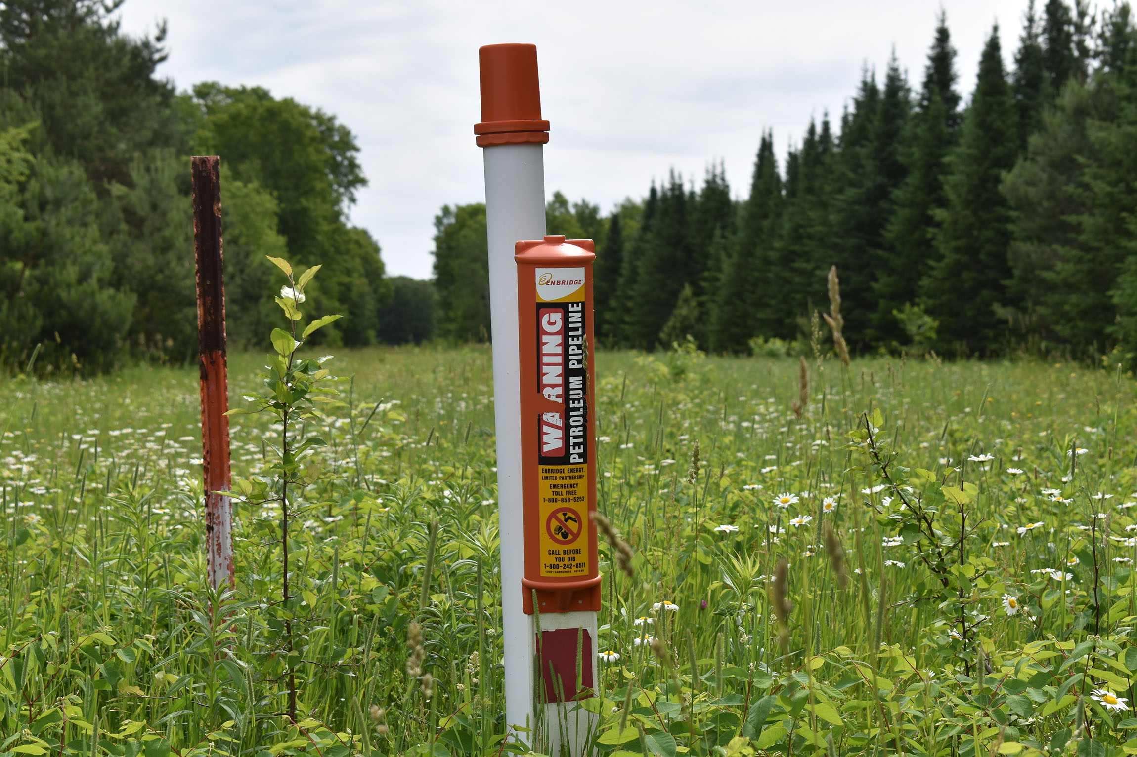
Historic logging and agriculture practices combined with the region’s clay soils are causing water to move more quickly off the land and carving deeper stream beds, according to Kyle Magyera, study co-author and local government outreach specialist for the association.
News with a little more humanity
WPR’s “Wisconsin Today” newsletter keeps you connected to the state you love without feeling overwhelmed. No paywall. No agenda. No corporate filter.
“When you further couple some of that historical land use change with how our roads have been built and where there may be, say, undersized culverts or not enough culverts, those road systems are creating or accelerating the creation of those gullies or eroded features,” said Magyera.
He said that erosion is disconnecting streams from wetlands, which means the land is less able to hold or slow the flow of water rushing downstream. The study noted one such example at Coria Road in the Town of Ashland.

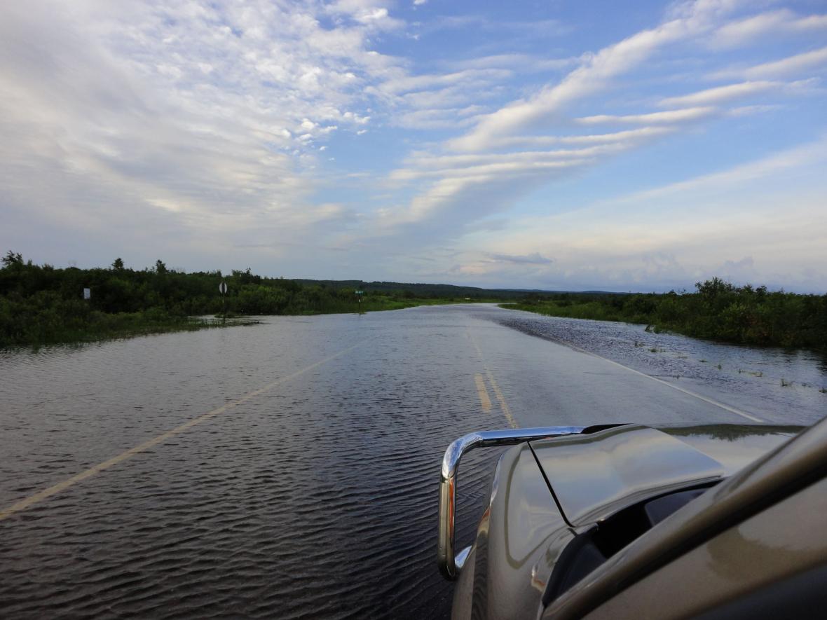
Flooding on U.S. Highway 2 near Bad River in July 2016. Danielle Kaeding/WPR
Magyera said storm response efforts have looked at rebuilding infrastructure to better withstand future flooding. He noted examining wetland restoration and stabilizing stream banks upstream may help reduce flood damage.
“To be crystal clear, we’re not suggesting at all that restoring wetlands could have prevented the catastrophic flooding that we saw earlier this (year) or in July of 2016,” he said. “But, we do believe that reducing flood risks really requires looking at and voluntarily repairing conditions upstream from flood-prone areas.”
The study also noted areas of U.S. Highway 2 near the Bad River Reservation sustained fewer impacts to infrastructure due to the large surrounding wetland system, the Kakagon-Bad River Sloughs. The report also said the Bibon Swamp in Bayfield County played a role in retaining flood waters and preventing peak flows on the White River.
Wisconsin Public Radio, © Copyright 2026, Board of Regents of the University of Wisconsin System and Wisconsin Educational Communications Board.