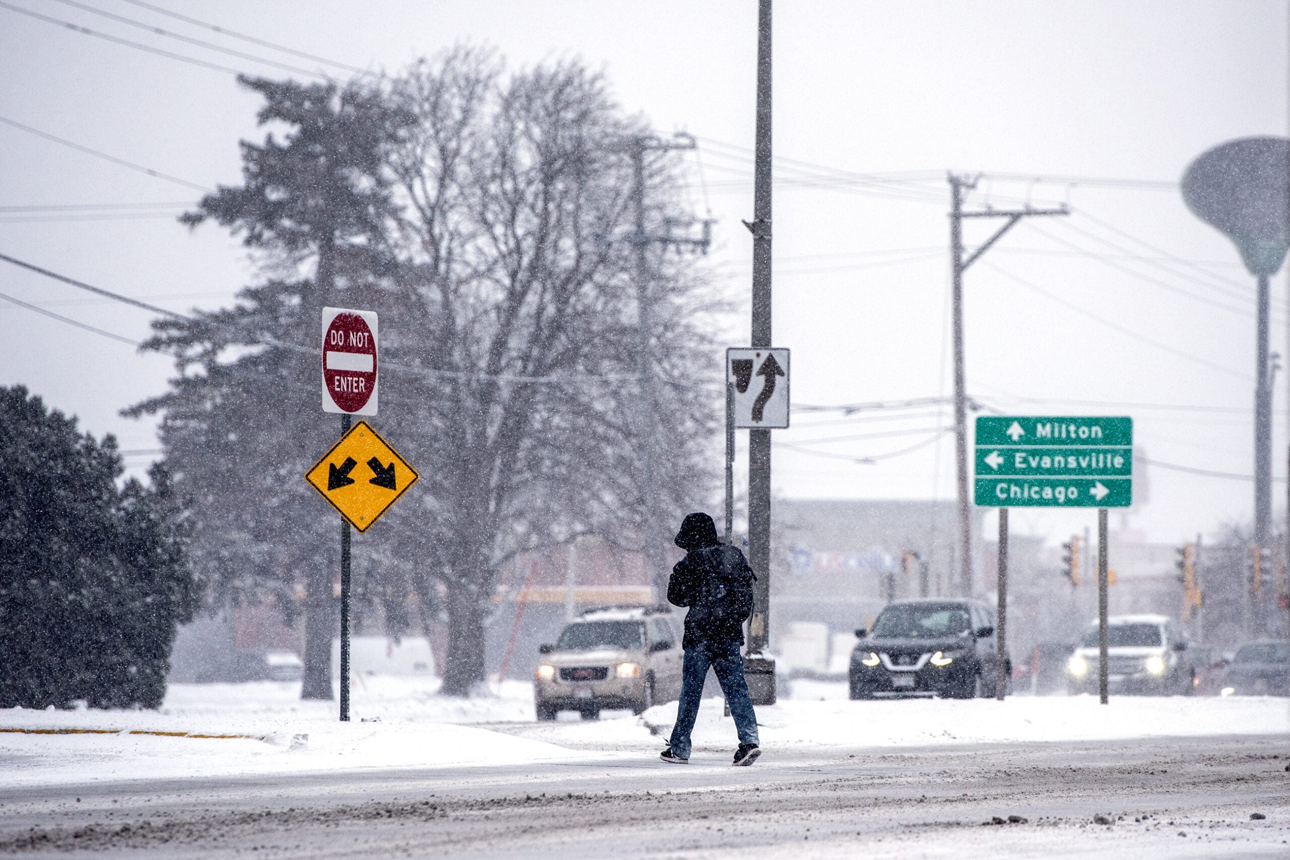
A winter storm system is bringing heavy snow Monday afternoon to western Wisconsin. Winter weather advisories are in effect as the system moves northeast across the state later in the afternoon and evening.
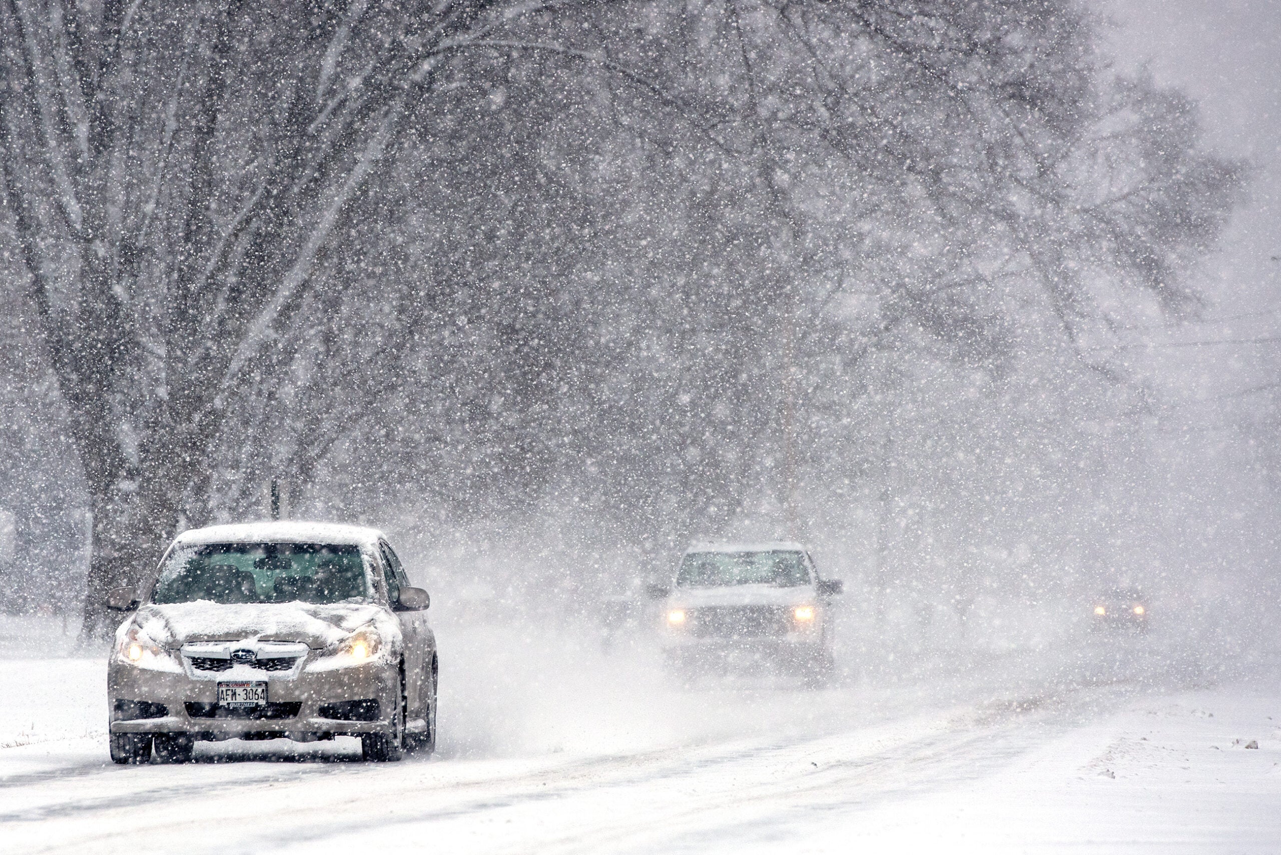
The heavy snow could be coupled with heavy winds, which could make for difficult driving conditions.
Meteorologist Richard Mamrosh of the National Weather Service in Green Bay said the rest of the state won’t see much snow until after dark.
News with a little more humanity
WPR’s “Wisconsin Today” newsletter keeps you connected to the state you love without feeling overwhelmed. No paywall. No agenda. No corporate filter.
“The air is really dry across eastern Wisconsin, so it’s going to take a while to saturate the atmosphere,” Mamrosh said. “If you live in Wausau, Green Bay, Milwaukee, there’s not going to be any trouble getting home from work this afternoon or early this evening, the trick will be tomorrow morning.”
Forecasters expect 8-10 inches of total accumulation in west-central Wisconsin and nearly the same in east-central areas along Lake Michigan.
The rest of the state should see 2-5 inches of snow, most of it from the initial heavy snowfall as the storm first moves through Wisconsin.
330pm – Here’s updated timing information and forecast snow totals for tonight and Tuesday. Stay safe out there! #swiwx pic.twitter.com/PAqNOoszSE
— NWS Milwaukee (@NWSMKX) March 5, 2018
“There’ll be about a 4- to 6-hour period of moderate or heavy snow in most places late afternoon-early evening hours out in western Wisconsin, late evening and overnight hours across the eastern part of the state,” Mamrosh said. “But then lighter snow will continue through much of the day tomorrow.”
The storm should wrap up in most areas by Tuesday evening.
Wisconsin Public Radio, © Copyright 2026, Board of Regents of the University of Wisconsin System and Wisconsin Educational Communications Board.
