A blizzard warning remains in effect for counties in far northern Wisconsin along Lake Superior as a winter storm has already dumped more than 15 inches of snow in the region.
The National Weather Service office in Duluth said the small community of Blueberry in northern Douglas County reported 15.5 inches of snow as of 8:30 a.m. Wednesday, with snow still coming down.
The storm could bring between 3 and 19 inches of additional snowfall, with heavier rates of up to an inch or more each hour expected for northern Iron County, said Ketzel Levens, a National Weather Service meteorologist in Duluth.
News with a little more humanity
WPR’s “Wisconsin Today” newsletter keeps you connected to the state you love without feeling overwhelmed. No paywall. No agenda. No corporate filter.
A live stream from a Nest cam in Mercer.
Levens said Iron County is in the “bullseye” for the heaviest snowfall, with overall totals of 30 inches or more anticipated before the storm tapers off there tomorrow morning.
“For Hurley, Iron County, they’re only part of the way through it,” Levens said. “They’ve got to get through the rest of today and this evening.”
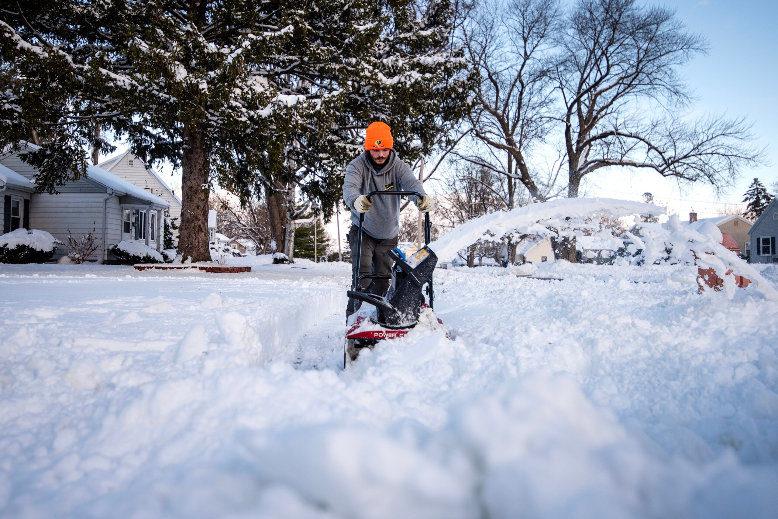
Further west, snow is expected to end this evening in northern Wisconsin. Higher terrains of Douglas and Bayfield counties could see another 3 to 5 inches this afternoon. The storm comes as tens of millions of people nationally are traveling for the Thanksgiving holiday. About 1.65 million residents in Wisconsin are expected to travel 50 miles or more, according to AAA.
Levens said travel will be “near treacherous” in some places along Lake Superior’s southern shore today, with slick areas in some spots and poor visibility due to heavy snow and wind gusts between 30 and 40 miles per hour this afternoon. Gusts as high as 61 miles per hour have been observed on the Blatnik Bridge connecting Superior to Duluth.
“If you don’t have to travel, we’d really encourage folks not to go anywhere today, especially if you’re in that blizzard warning,” Levens said. “If you absolutely have to travel, please be super cautious. I would encourage folks to bring an emergency kit with them, just in case you do get stuck.”
The blizzard warning remains in effect until midnight for Douglas and Bayfield counties and 6 a.m. Thursday for Ashland and Iron counties.
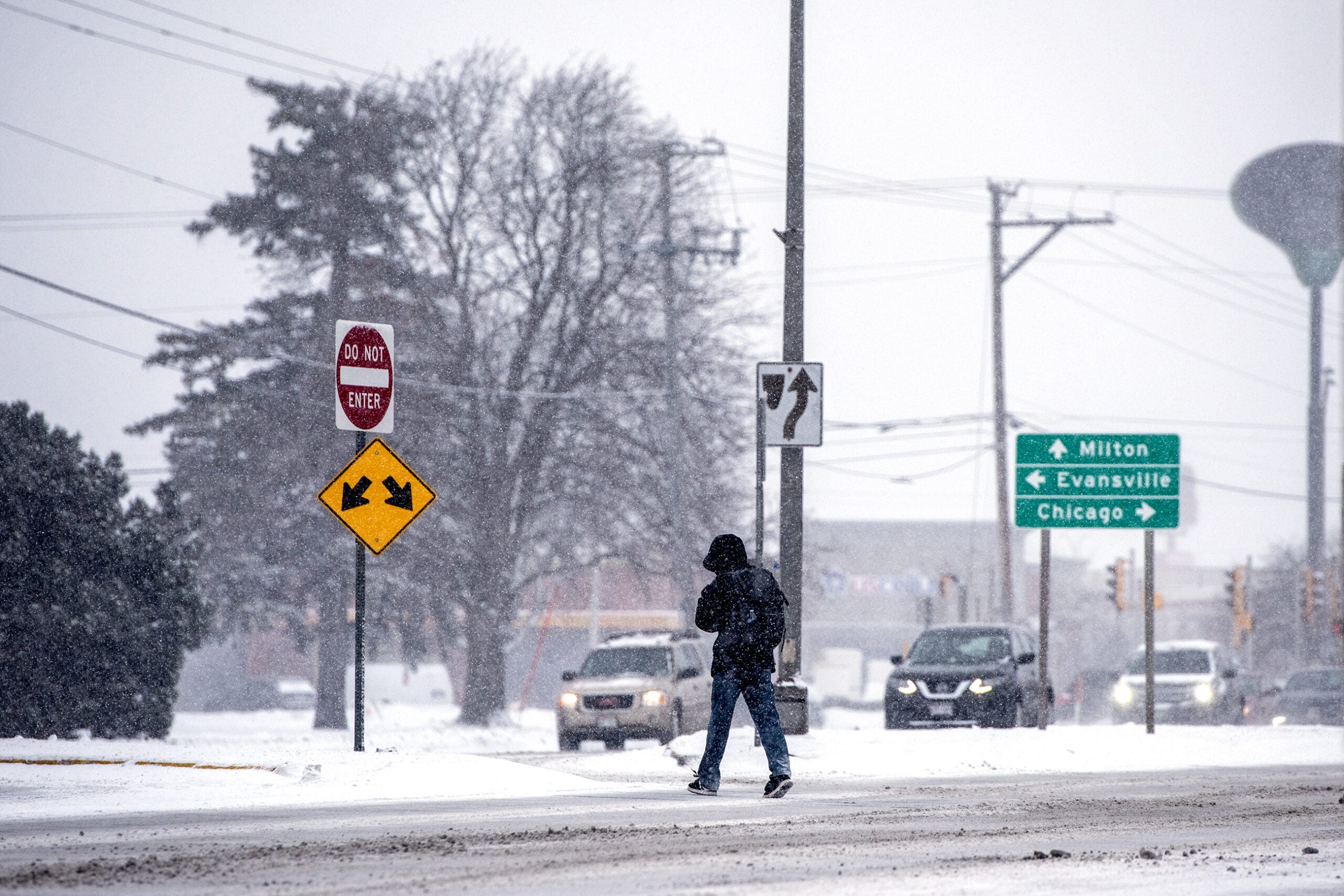
Farther south, not much snow has fallen — less than an inch in Eau Claire, La Crosse and the Milwaukee area. Southeastern Wisconsin has seen up to an inch of snow, said Kevin Wagner, a National Weather Service meteorologist with the Milwaukee/Sullivan office.
A winter weather advisory remains in effect through 6 p.m. Wednesday for east central, south central and southeastern Wisconsin. Wagner said the Fond du Lac and Sheboygan area could see 2 to 3 inches of snow, with an inch or less across the rest of southern Wisconsin. But wind gusts of 40 to 50 miles per hour through the afternoon could make travel difficult.
“You’ve got wet roads, dropping temperatures, wind blowing across the roads — definitely going to make travel a little bit more challenging today than on a normal day,” Wagner said.
Snow is expected to taper off late this afternoon around Madison and early this evening around Lake Michigan. But the break will be short-lived. Another storm system on Saturday could bring 6 inches of snow or more. Wagner said models indicate the heaviest snow would occur across the southern half of the state, which could affect travel this weekend.
A live feed from the Madeline Island Yacht Club.

Wisconsin Public Radio, © Copyright 2026, Board of Regents of the University of Wisconsin System and Wisconsin Educational Communications Board.