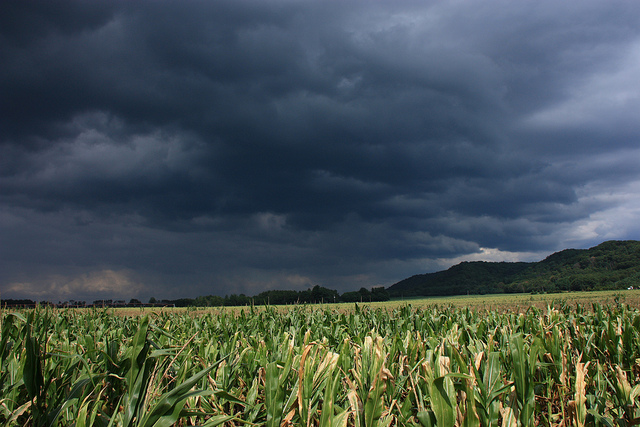
Western Wisconsinites are bracing for more heavy rains, possible flash floods and tornadoes.
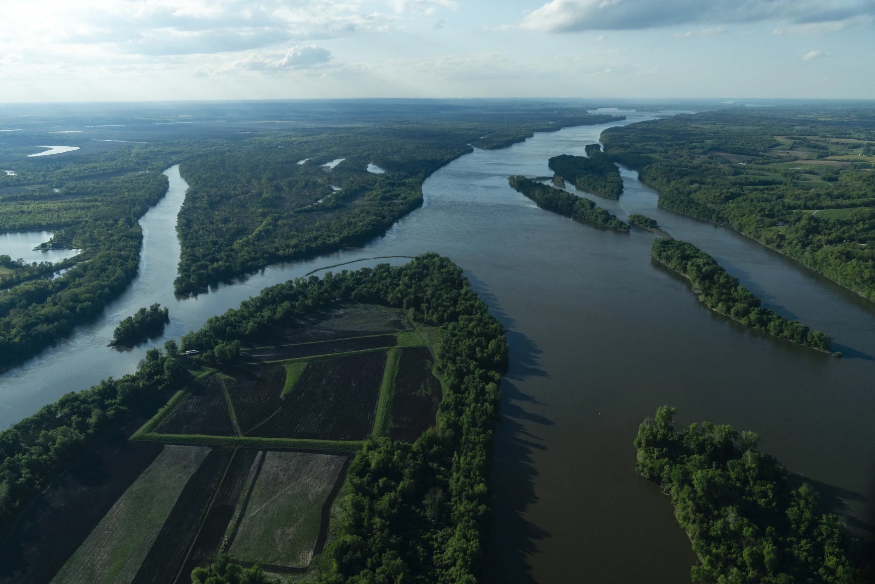
The western and central regions of the state, from La Crosse to Appleton, are under a flood watch issued by the National Weather service through Thursday evening.
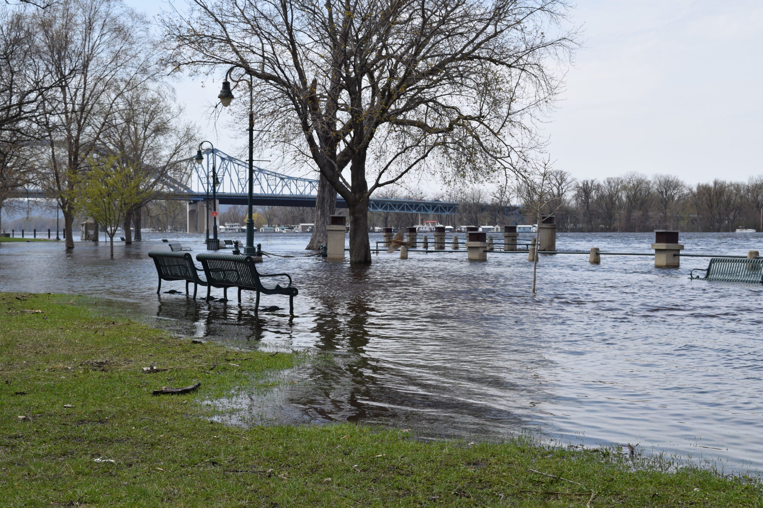
“The main concern is the soils are already saturated now, after all this heavy rain, so any additional rounds of storms with heavy rain is likely to cause some impacts,” said Mike Kurz, a warning coordination meteorologist with the La Crosse National Weather Service.
News with a little more humanity
WPR’s “Wisconsin Today” newsletter keeps you connected to the state you love without feeling overwhelmed. No paywall. No agenda. No corporate filter.
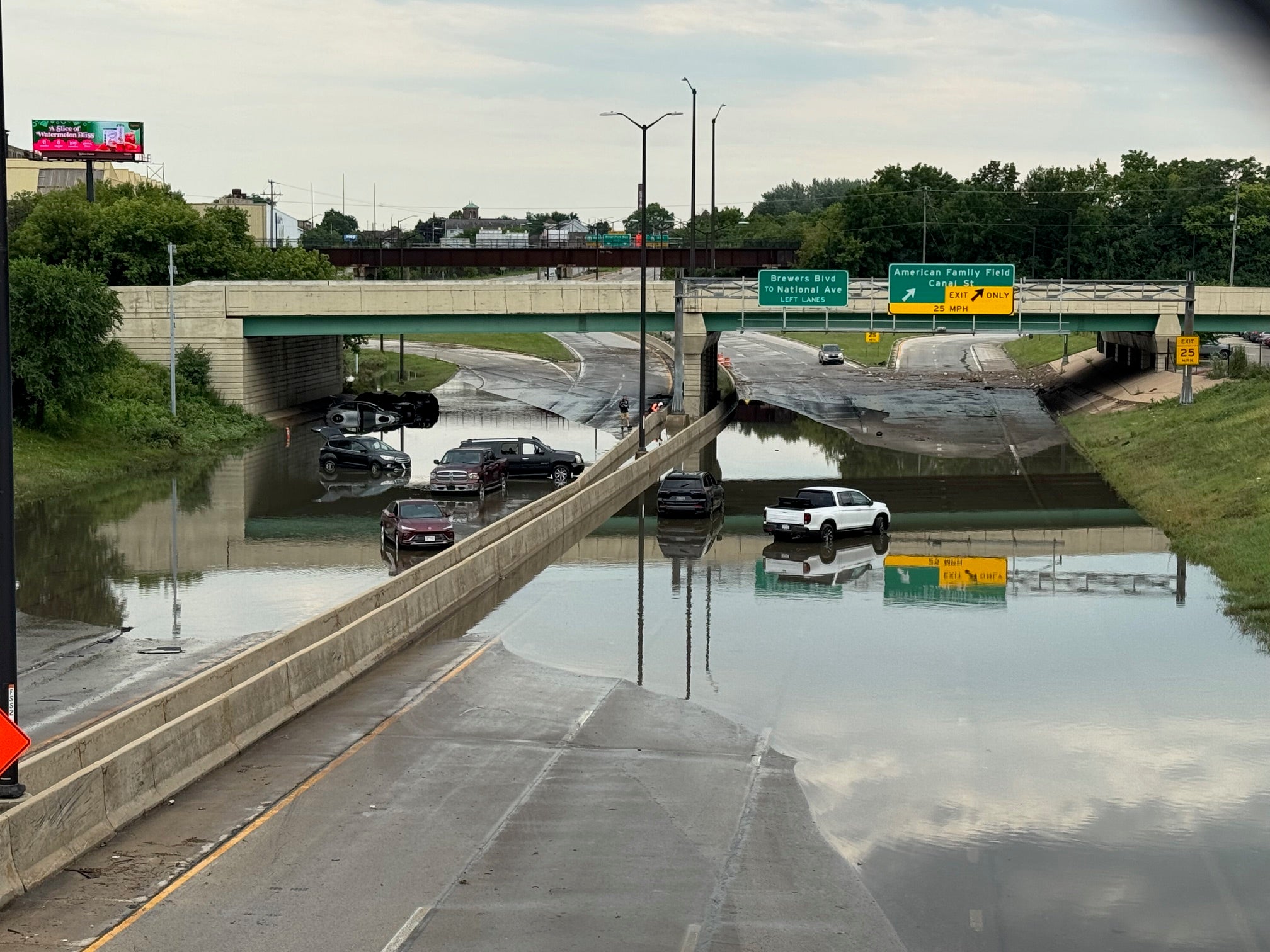
The severe weather could flood rivers and roads and bring heavy winds and possibly tornadoes. There was at least one tornado reported near La Crosse on Wednesday evening.
It’s important for people to have multiple ways to receive tornado warnings, said Kurz.
“A lot of people rely on outdoor sirens for notification of tornadoes,” Kurz said, but these sirens weren’t designed to be heard indoors.
Instead, people should turn to NOAA weather radio, phone apps or local broadcast stations for their weather alerts.
Today is the third day of heavy rainfall in the region, Kurz said.
“Hardest hit has been from La Crosse County eastward,” he added.
Wisconsinites should take caution on flooded roads, said La Crosse Fire Department Community Risk Educator Molly McCormick.
“That heavy rain has nowhere to go, so you can definitely anticipate, with the rain today, that we’ll have streets flooded, that the river waters will continue to go up even after the rain goes down.” McCormick said.
People shouldn’t drive through flooded roads or even walk through the muddied water, she said.
“It’s really hard to tell how deep that water is,” McCormick said. “Don’t take the chance.”
The region should see some relief starting Friday, Kurz said.
“It’s been nonstop. I think we’re all feeling the fatigue,” he said. “The good news is we do look to get into a little bit of a break from this active pattern going into Friday and especially into Saturday. “
But it’s important to remember river levels may remain high following heavy rainfall, McCormick said.
“We’ll see those tributaries continue to rise over the next couple days into next week, and with the Fourth of July, a lot of folks are going to be out,” she said. “That water level is going to be a lot higher. They need to be taking extra precautions.”
The weather service issued a flood warning at Black River at Black River Falls, from Friday afternoon to Saturday evening.

Wisconsin Public Radio, © Copyright 2026, Board of Regents of the University of Wisconsin System and Wisconsin Educational Communications Board.