In three years, Wisconsin is set to join dozens of other states with statewide networks of weather stations that aim to provide faster and better reports to farmers.
Thanks to more than $3 million in grant funding, the University of Wisconsin-Madison now plans to establish 90 sites to monitor weather and soil conditions throughout the state by fall of 2026. The state currently has 14 weather stations.
Chris Kucharik, a UW-Madison agronomy professor, is overseeing the university’s effort to build the new network. He recently joined Wisconsin Public Radio’s “The Morning Show” to discuss how more weather and soil reports could be used and how researchers will decide where to build the new stations.
News with a little more humanity
WPR’s “Wisconsin Today” newsletter keeps you connected to the state you love without feeling overwhelmed. No paywall. No agenda. No corporate filter.
The following was edited for brevity and clarity.
Kate Archer Kent: What do you hope farmers can do with this refined data?
Chris Kucharik: Weather variability will continue to pose greater, more significant challenges to management of our crops and soils. And this has a lot to do with pest and disease management, how we time the application of fertilizers, how often and when we irrigate crops. It’s creating an observational data network that will eventually feed into the development of … tools that will help them make better decisions as the crop season progresses. They are making those decisions daily and sometimes just within the day.
Coupling that information with a weather forecast will definitely help them do a better job and help maintain productivity and also help the environment, too.
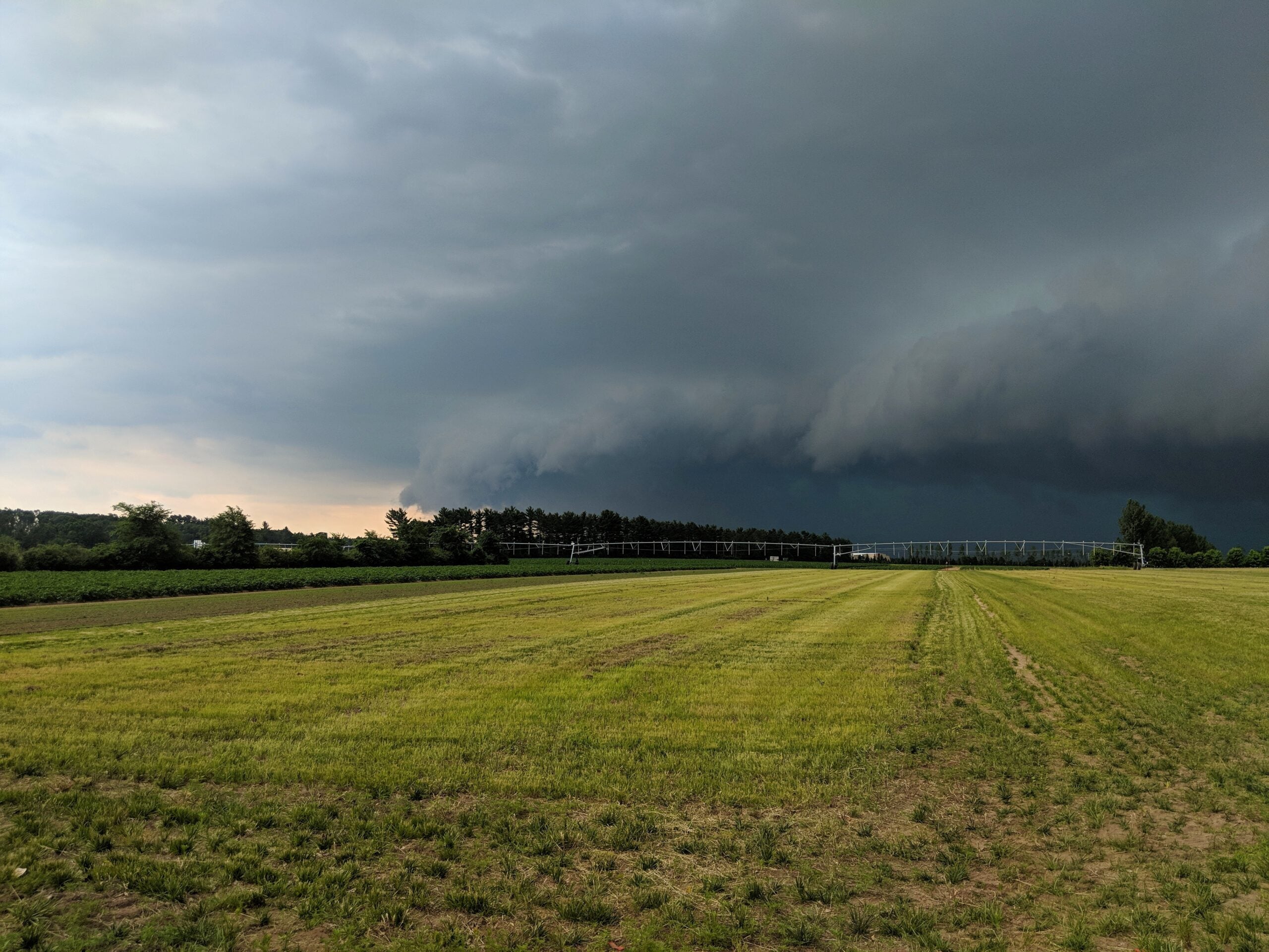
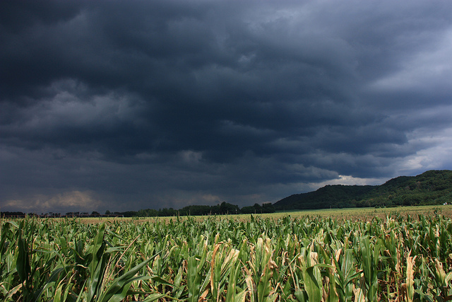
We’ve been missing out on … not having a good grasp of soil moisture statewide. We’re kind of at a disadvantage for drought monitoring, which is going to become more important moving forward. I know people might say, “Oh, it’s been really wet from my memory the last 10 or 15 years.” And that’s definitely the case… but the droughts do happen, and they’ll start to happen more frequently and be more intense during our growing seasons.
And by having that data, it helps us and our farmers receive drought relief funding from the federal government.
KAK: We’re familiar with the level of weather data available on our smartphone and other devices. Will this expanding network change those weather reports in any way that we receive on our personal devices?
CK: That would be a goal. It’s not going to be an immediate thing. I mean, a lot of those other observations have different apps and programs that are bringing that information together. First, we’re building out a website, the Wisconet website, where people can point to and download the data, see maps of certain conditions.
The bottom line is that, at some point, we’ve got to push this information out and develop some apps that make it easier for people to use the data — especially farmers when it comes to those decision-making things they have to do on a daily basis. That’ll be a goal and a challenge that we work on over the next few years so it is easy for people to see and access.
KAK: Let’s say you’ve decided where you want to put a weather station in this expansion. Can a business or an organization that wants a station on their property sponsor a station?
CK: (There’s) a process for trying to figure out how to best represent the gaps in the observations right now and where they are on the landscape. Are they representative of a diverse array of geography and land cover across the state? And then you have to consider the station spacing. And at the same time, how are we going to work with the public or private lands in that?
There’s a lot to be determined. I will say, yeah, that is a possibility.

Wisconsin Public Radio, © Copyright 2026, Board of Regents of the University of Wisconsin System and Wisconsin Educational Communications Board.