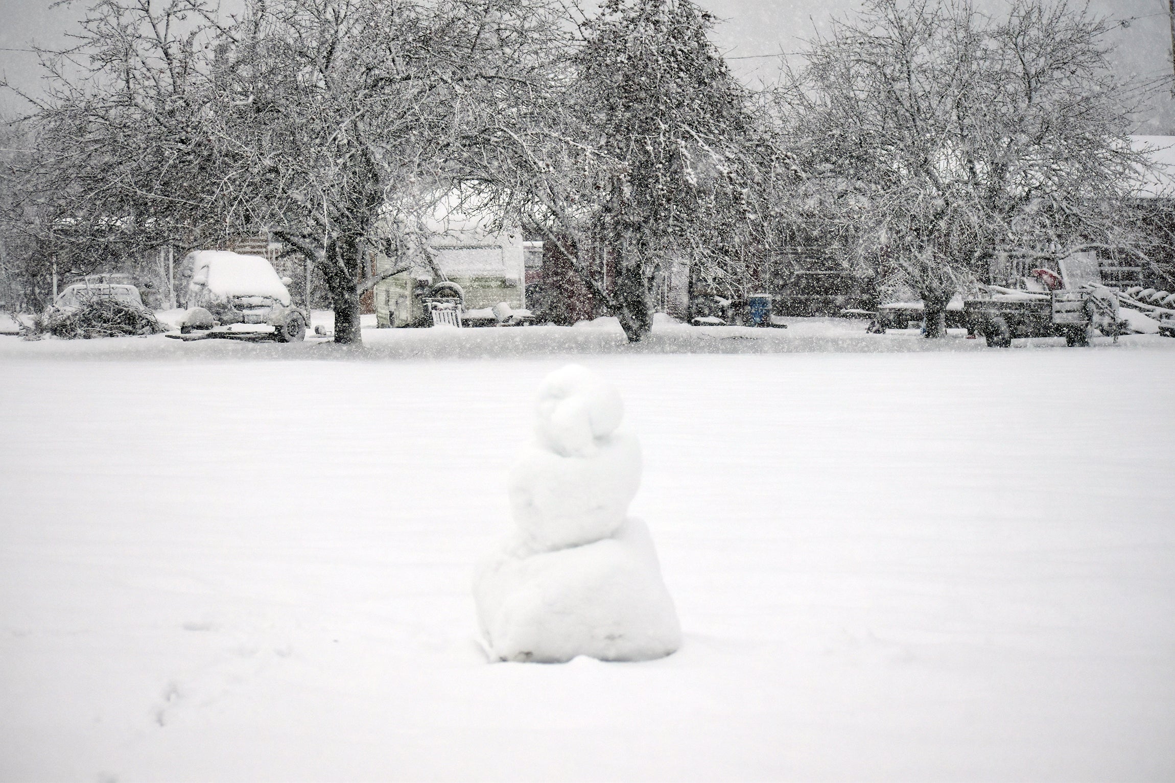
Blizzard and winter storm warnings remain in effect for the Duluth-Superior area and northern Wisconsin as some areas have already seen 10 inches of snow with more on the way.
The Duluth office of the National Weather Service recorded 10.3 inches of snow as of noon Wednesday.
“We’ve gotten absolutely pounded with snowfall today, seeing some snowfall rates in the 1-to-2-inch per hour range,” Meteorologist Ketzel Levens said.
News with a little more humanity
WPR’s “Wisconsin Today” newsletter keeps you connected to the state you love without feeling overwhelmed. No paywall. No agenda. No corporate filter.
While not hit as hard as the Twin Ports, areas of northwestern Wisconsin, including Washburn County, already saw nearly 7 inches of snow by noon. A wintry mix is expected through the day with a bit of a lull for some areas this afternoon until a second surge of moisture pushes into northern Wisconsin tonight through Thursday morning.
With all of the wet, heavy snow that we have and the high winds, all of our trees and infrastructure are flagged – meaning the snow is sticking to one side of them. pic.twitter.com/1g59GZmtcF
— NWS Duluth (@NWSduluth) December 14, 2022
“We can actually see it on satellite already barreling its way towards us,” Levens said.
The next round is expected to bring an extra 4 to 8 inches in the Siren and Spooner areas of northern Wisconsin with higher amounts of 8 inches to a foot for parts of Douglas, Bayfield, Ashland and Iron counties. Those counties have been upgraded to a winter storm warning, and the heaviest snowfall is slated to hit around sunrise Thursday. Levens said locally higher amounts in Bayfield County could see additional snow in excess of a foot.
In the Twin Ports, areas near the lake are seeing more of a wintry mix while snow is piling in Duluth. People in the area also reported “thundersnow” this morning.
Mollie Johnson, a Duluth citizen, caught thundersnow on camera and her reaction is so genuine. We just love it! pic.twitter.com/q5JDebCJFr
— NWS Duluth (@NWSduluth) December 14, 2022
The Wisconsin Department of Transportation reports snow-covered roads and slippery stretches on major highways in northern Wisconsin like U.S. 53, U.S. 2 and U.S. 63. In northern Minnesota, the Minnesota Department of Transportation is reporting snow-covered roads on the I-35 corridor.
Levens said snow was beginning to let up along I-35 and U.S. 53 early this afternoon. Visibility has varied from a couple miles in Superior to less than a quarter mile at times in Duluth, with lake-enhanced snowfall in the Twin Ports.
The heavy, wet snow has caused power outages in parts of northern Wisconsin. Xcel Energy reported around 1,000 customers without power around Rice Lake, which is roughly 60 miles north of Eau Claire.
“With the heavy, wet snow, it collects on tree branches, can fall on power lines and poles. It pulls them down, so we have some infrastructure things that we have to put back in place,” Xcel Energy spokesperson Chris Ouellette said. “We’re working on it, and hopefully get that restored here by the end of the day.”
Danielle Kaeding/WPR
In central Wisconsin, Wisconsin Public Service reported around 1,500 customers without power in the Wausau area as of this afternoon.
“Some of the conditions that our crews are encountering are multiple downed tree limbs as well as downed trees. And those have fallen into our electric equipment, causing those outages that we are seeing right now,” WPS spokesperson Matt Cullen said. “Our crews are responding, and they’re working to repair those outages as safely and as quickly as they can to restore power to our customers who have been impacted by those outages.”
Both Ouellette and Cullen urged customers to report any outages. They also advised people to remove any buildup of ice or snow on natural gas meters that could damage them or clog vents. Cullen said that could cause a natural gas leak or trap carbon monoxide indoors.
Meanwhile, Levens said conditions aren’t expected to improve in northern Wisconsin until the end of the day Thursday. Light snow is still expected on Friday. That will be followed by severe cold heading into the weekend and early next week for the northern part of the state.

Wisconsin Public Radio, © Copyright 2026, Board of Regents of the University of Wisconsin System and Wisconsin Educational Communications Board.