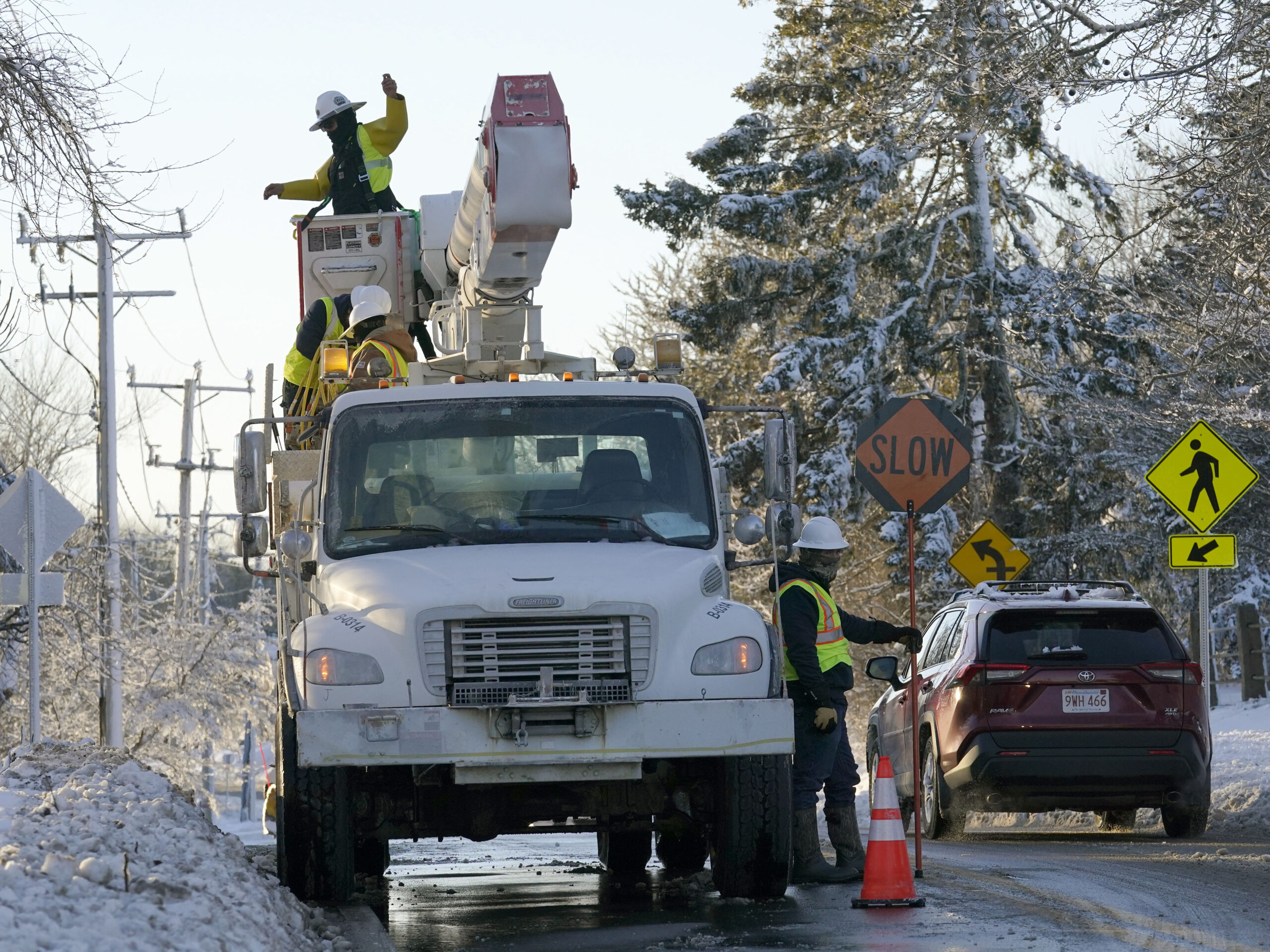
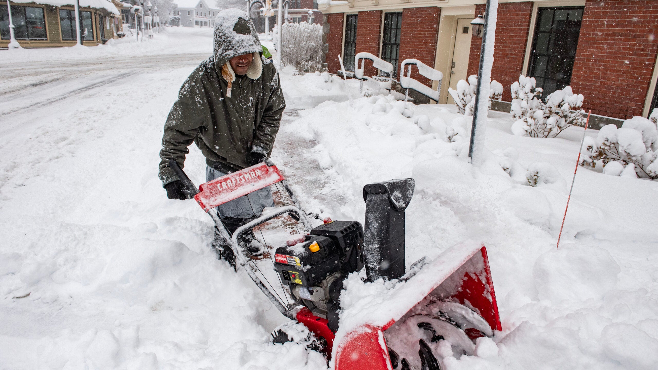
A powerful winter storm is expected to hit Wisconsin on Sunday bringing with it a mix of rain, sleet and snow but forecasters aren’t sure where the heaviest accumulations will fall.
National Weather Service Metereologist Shawn Devinny says the heaviest snow is currently expected to form a line from western Minnesota to Lake Superior, but heavy snow could hit Wisconsin depending on what happens with a different storm along the East Coast.
“One thing that does play a role in where it’s going to [be] is that East Coast storm, because it’s going to influence how far this storm is going to be able to move to the east.”
Stay informed on the latest news
Sign up for WPR’s email newsletter.
Devinny says the Weather Service uses a number of computer models to predict a storms track but this one is tricky.
“For this case it’s been interesting to watch. The models are each going to the beat of their own drum and just kind of doing their own thing and not really converging on a solution. So, that what makes it hard for us.”
At this point snow is predicted for far northern and west central Wisconsin with a wintry mix likely for the rest of the state turning to snow on Monday.
Wisconsin Public Radio, © Copyright 2024, Board of Regents of the University of Wisconsin System and Wisconsin Educational Communications Board.