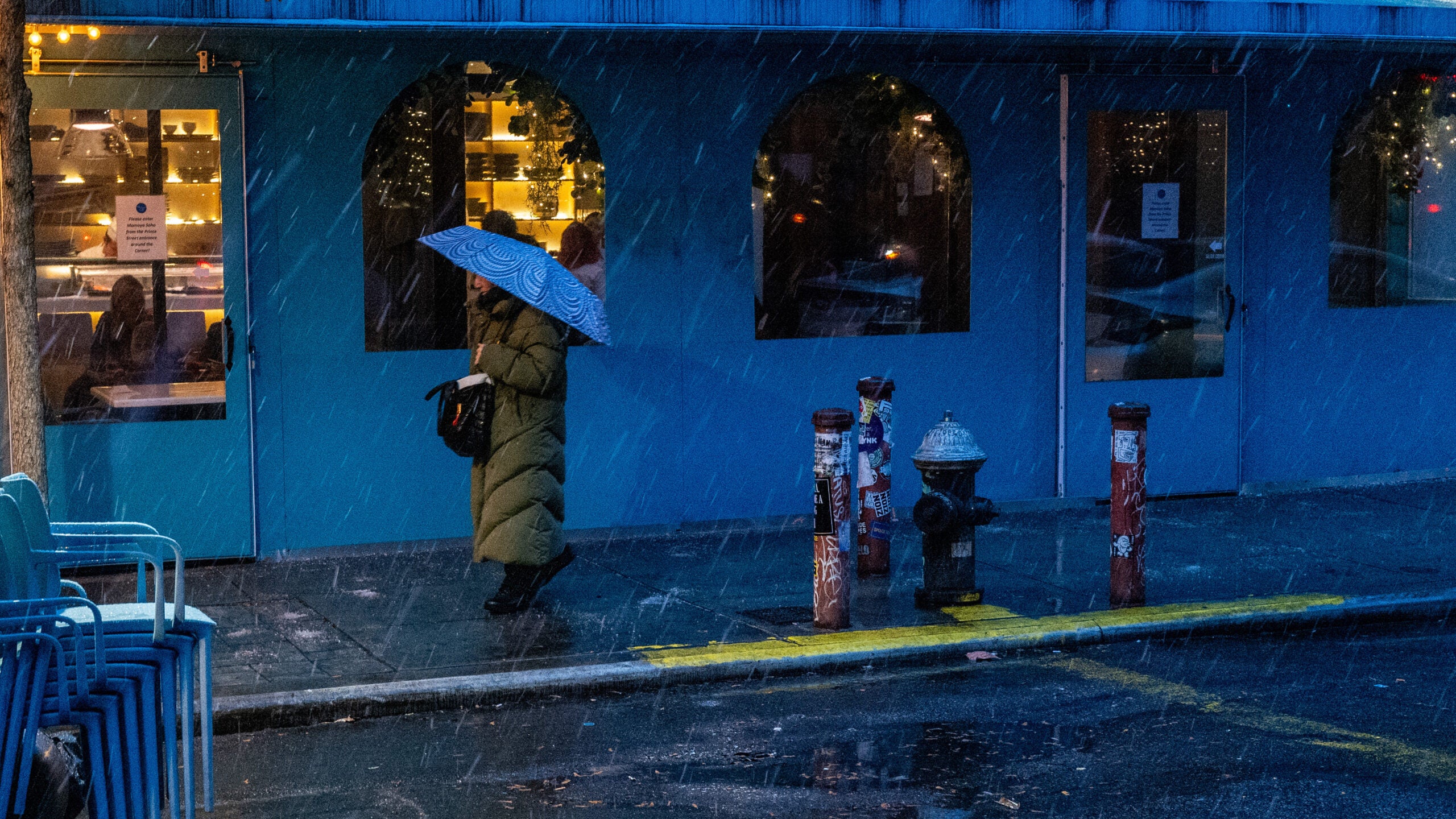
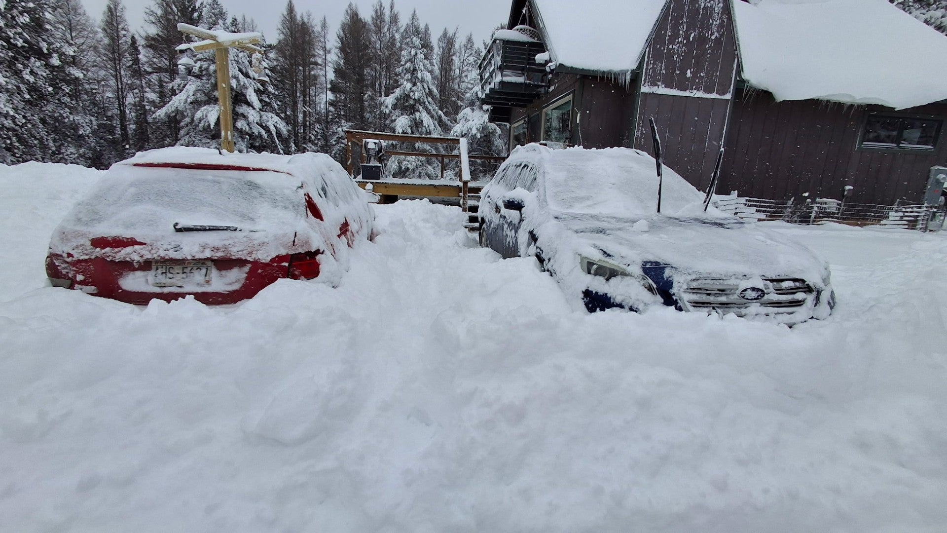
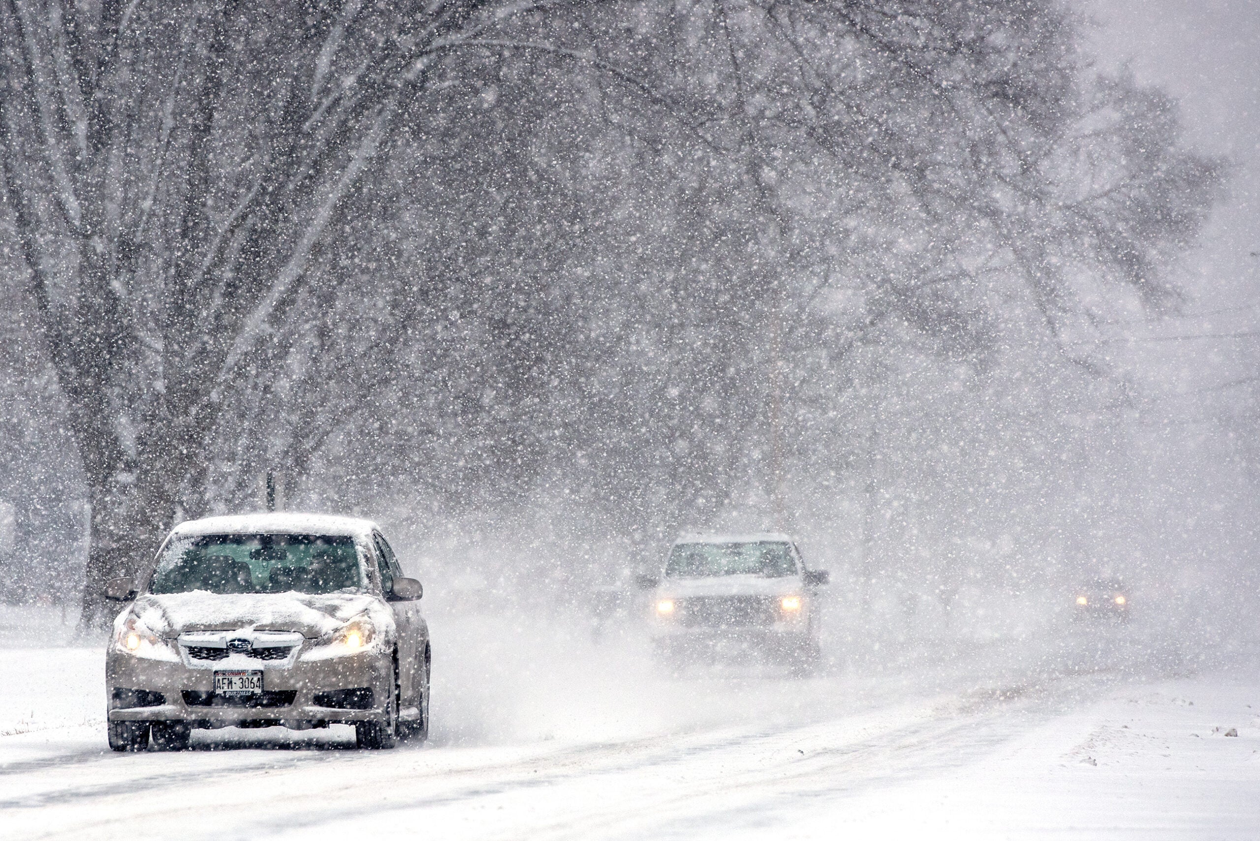
A winter storm blanketed parts of the Northeast U.S. with over a foot of snow in several areas over the weekend. It’s just a preview of what’s forecast to be an even stronger and wider storm in the coming days, with the potential to bring snowfall not seen in years to several cities in the region.
The National Weather Service said a “rapidly strengthening storm” will develop in the central U.S. on Monday. Up to a foot of snow may fall on parts of the Midwest through Tuesday. Meanwhile, the U.S. Atlantic coast, especially North and South Carolina, are at risk of severe coastal flooding.
News with a little more humanity
WPR’s “Wisconsin Today” newsletter keeps you connected to the state you love without feeling overwhelmed. No paywall. No agenda. No corporate filter.
In the South, parts of Texas, Louisiana, Mississippi, Alabama and Florida are forecast to receive severe thunderstorms and even some tornadoes late Monday night.
“Widespread wind gusts in excess of 50 mph are likely in the eastern Gulf Coast so prepare for power outages,” the NWS wrote.
As of Sunday night, some 12,000 customers were without power in Massachusetts, PowerOutage.US reported. In Pennsylvania, the customers experiencing power outages had dropped to about 600.
The heavy snow has also disrupted travel, especially at Boston’s Logan International Airport, where almost 200 departing and incoming flights were canceled.
Some areas got over a foot of snow so far this weekend
In Connecticut, between 5 to 12.5 inches of snow blanketed the state as of Sunday night, with the heaviest snowfall appearing in North Granby in Hartford County. In Massachusetts, 18.2 inches accumulated in Tyngsboro in Middlesex County, while wide swaths of the state received snowfall of over a foot.
Upstate New York saw some of the most snowfall in the region with more than 13 inches in western Orange County. Snow totaled up to 6.2 inches in parts of New Jersey and 11 inches in areas of Rhode Island.
Much of New York, Massachusetts, Connecticut, New Hampshire, Rhode Island, Vermont, and southern Maine remained under winter storm warnings or advisories on Sunday evening according to the NWS.
Central Pennsylvania ended a record 346-day snow drought by Saturday afternoon. As of Sunday morning, Claysburg in Blair County saw the state’s highest snowfall total of 9 inches.
Hazardous travel conditions affected much of the region, said a NWS advisory, widely congesting roads.
A bigger storm could soon strike the Midwest, Northeast and South
On Monday night into Tuesday morning, severe thunderstorms capable of hail and tornadoes are bound for the south, from southeast Texas to the western Florida Panhandle.
The NWS Storm Prediction Center said the storm will pose the greatest threat to southeast Louisiana, southern Mississippi and southern Alabama.
Meanwhile, a snowstorm will also be brewing further north, potentially producing blizzard conditions in parts of the Plains and the Midwest starting Monday night. The storm is forecast to bring snow to the Northeast starting Tuesday afternoon, the NWS said.
Northeast Kentucky, southeast Ohio, and portions of West Virginia are expected to experience heavy rain and strong winds Tuesday and Wednesday. Heavy rains could pose the risk of flash flooding in parts of the Northeast and northern Mid-Atlantic.
9(MDAyMjQ1NTA4MDEyMjU5MTk3OTdlZmMzMQ004))
© Copyright 2026 by NPR. To see more, visit https://www.npr.org.9(MDAyMjQ1NTA4MDEyMjU5MTk3OTdlZmMzMQ004))

