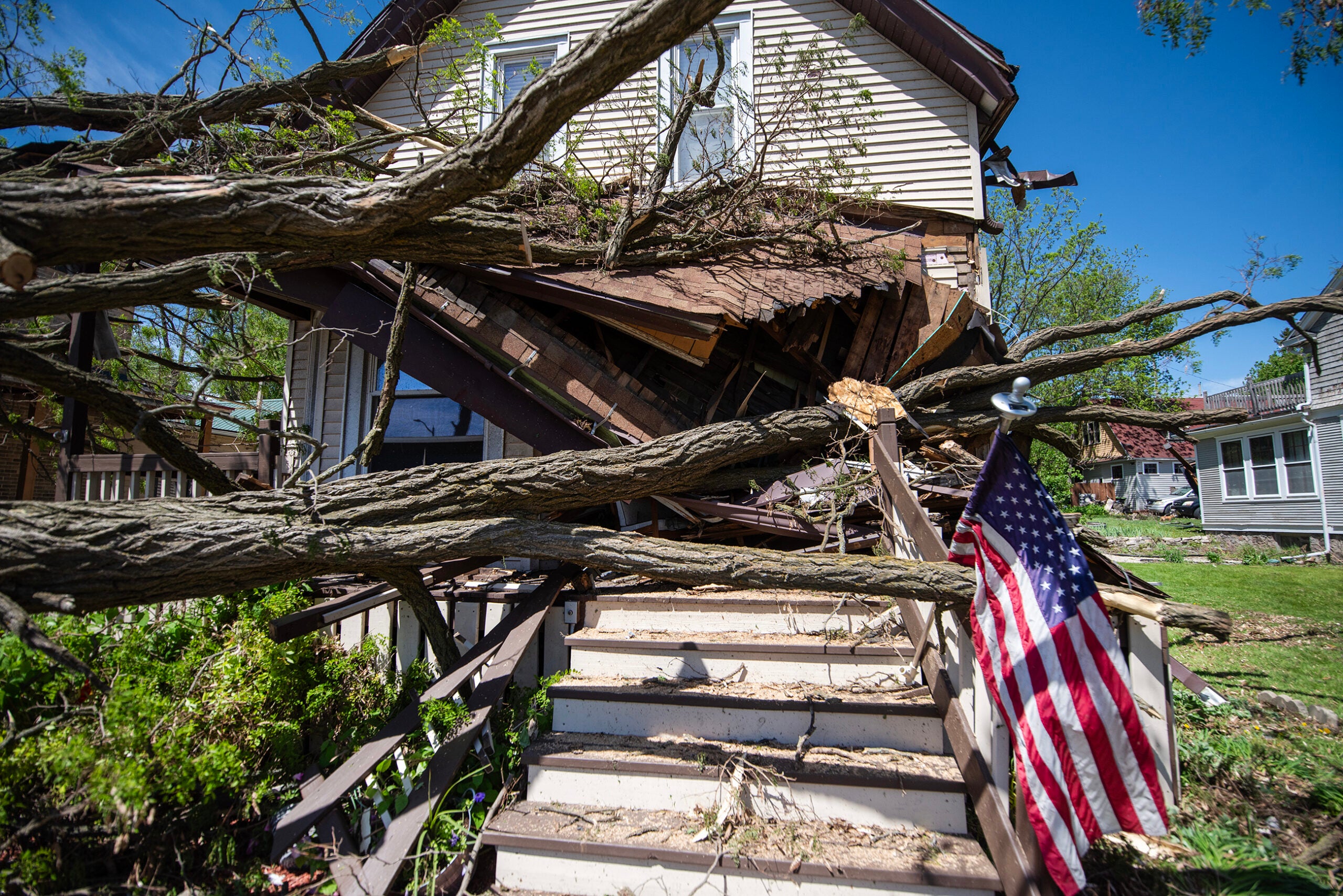
Severe weather is already battering parts of the U.S. or will in the coming hours and days, meteorologists say.
From blizzard conditions in the Southwest to more precipitation in the Northeast, people across the country are bracing for bad weather and, in some cases, extreme conditions that could hamper travel.
Here’s what’s happening throughout the U.S.:
News with a little more humanity
WPR’s “Wisconsin Today” newsletter keeps you connected to the state you love without feeling overwhelmed. No paywall. No agenda. No corporate filter.
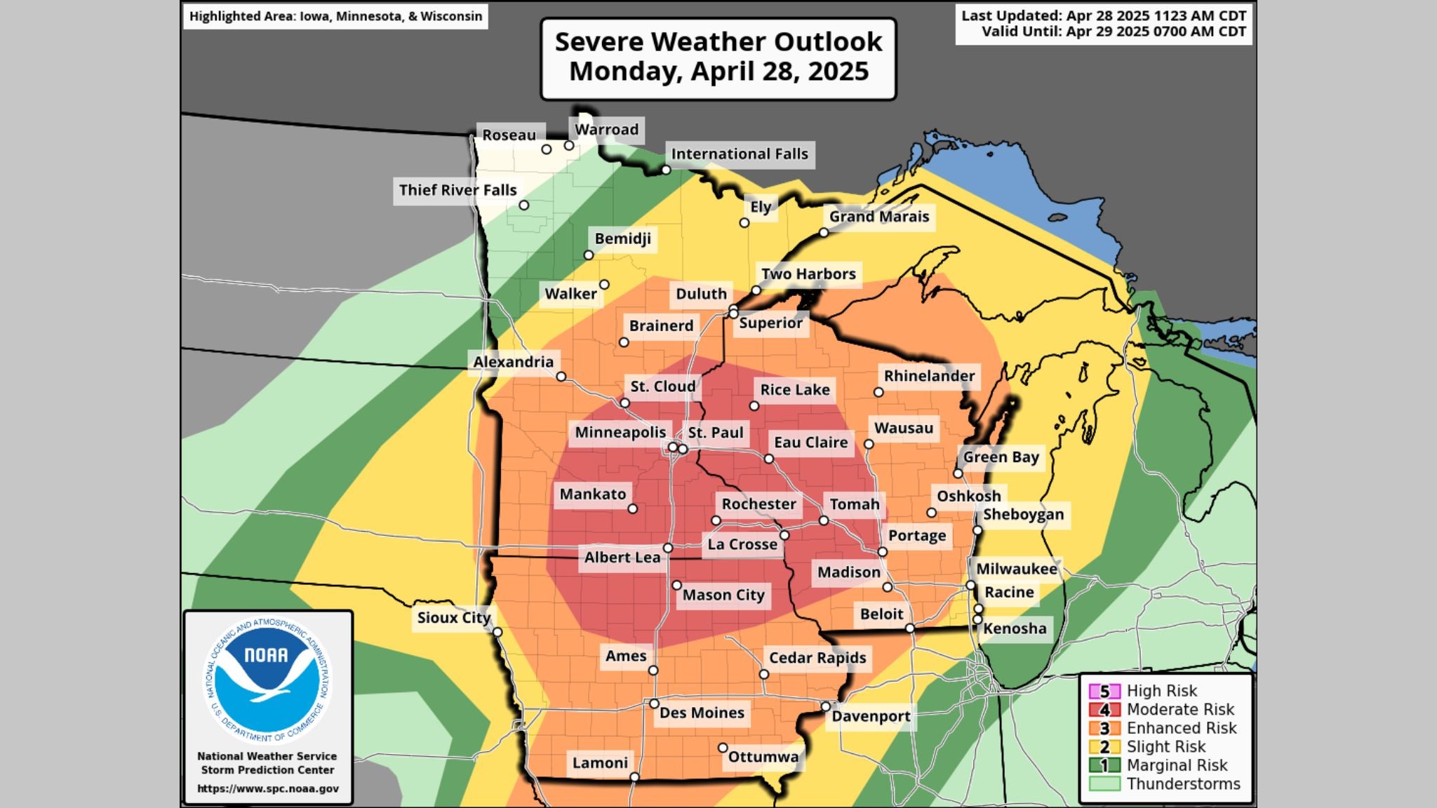
A blizzard pummeling the Great Plains began Monday morning
The National Weather Service says a cyclone that developed over the Great Plains early Monday could drop up to 2 inches of snow per hour in some places and make it risky to travel.
Parts of northeast New Mexico, eastern Colorado, the Oklahoma and Texas panhandles, western Kansas and southwest Nebraska could experience blizzard conditions. Blizzard warnings were in effect in at least six Plains states on Monday.
The major storm could produce whiteouts and blustery winds, making travel “extremely dangerous to impossible,” the NWS says.
The New Mexico Department of Transportation said Monday morning that snow was already creating “hazardous driving conditions across the state,” and several weather observation stations reported wind gusts over 60 miles per hour.
Texas Gov. Greg Abbott increased the state’s readiness level on Sunday ahead of the blizzard and other inclement weather in the forecast.
Thunderstorms will douse several Gulf Coast states
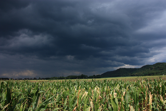
Meanwhile, severe thunderstorms and damaging winds will beset states along the Gulf Coast, including parts of Texas, Louisiana, Mississippi, Alabama and Florida. Some tornadoes are also possible.
The National Weather Service said “very strong and damaging winds as well as a few tornadoes” are the primary threats from the storm system.
As of midday Monday, there were a few reports of hail in Mississippi.
“This is the first true severe weather event we’ve had in almost a year,” NWS meteorologist Christopher Bannan told Nola.com.
Flash flooding is another possibility, and as the storm moves north in the coming days, the central Gulf Coast and much of the East Coast could see widespread coastal flooding.
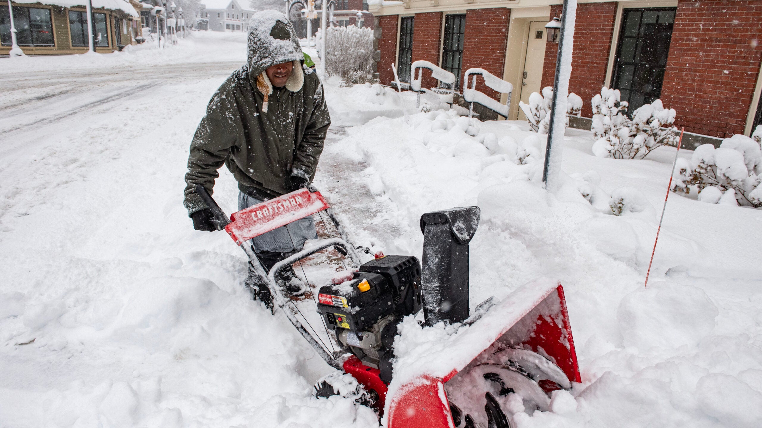
Still digging out from weekend snow, the Northeast prepares for rain
The mid-Atlantic and New England received several inches of snow over the weekend, creating hazardous road conditions and causing widespread power outages for thousands of customers in multiple states.
Now, much of the region is forecast to experience heavy rain in the coming days.
The NWS says the approaching storm will soak states along the mid-Atlantic coastline, from Virginia to New Hampshire, beginning on Tuesday.
A swath of land from Virginia to Connecticut is predicted to have a moderate risk of excessive rainfall.
Blizzard conditions are also on the way for parts of the Pacific Northwest
Additional winter weather was set to pass through the Cascades in Oregon and Washington beginning Monday night and again on Tuesday evening, the NWS said.
Blizzard conditions were likely in higher elevations, and the storm was expected to drop “several feet of heavy snow” and wallop the area with strong winds. Blizzard warnings were in effect in parts of Oregon and Washington.
The Washington Emergency Management Division said it was rare for that area to receive a blizzard warning and urged motorists driving through mountain passes to avoid traveling if possible.
Meteorologists predicted the total snowfall could reach as high as 3 feet in some areas.
9(MDAyMjQ1NTA4MDEyMjU5MTk3OTdlZmMzMQ004))

© Copyright 2026 by NPR. To see more, visit https://www.npr.org.9(MDAyMjQ1NTA4MDEyMjU5MTk3OTdlZmMzMQ004))