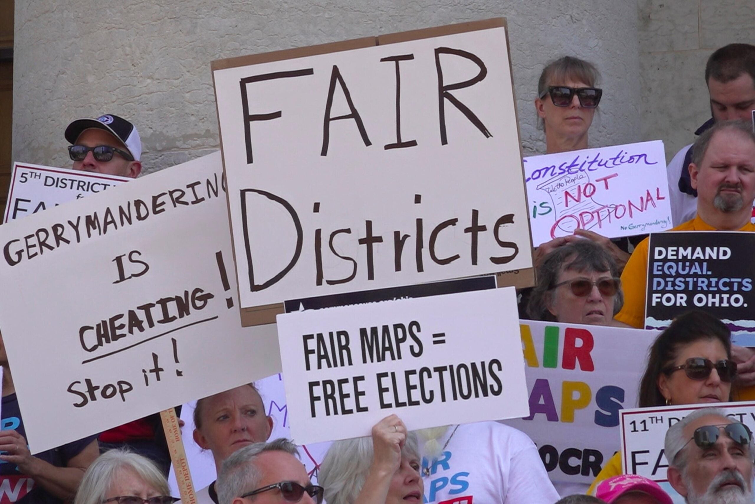
Wisconsin Republicans would have a smaller advantage in the state Legislature under a set of redistricting maps proposed by a nonpartisan commission Thursday. The People’s Maps Commission, created last year by Gov. Tony Evers, unveiled three potential maps for Wisconsin’s congressional, state Assembly, and state Senate districts during a virtual public hearing Thursday evening.
In drawing the maps, the commission considered required criteria such as compactness and contiguity, and also emphasized “partisan fairness.” According to commission chair Christopher Ford, suggestions were given by more than 1,800 Wisconsinites in 68 counties.
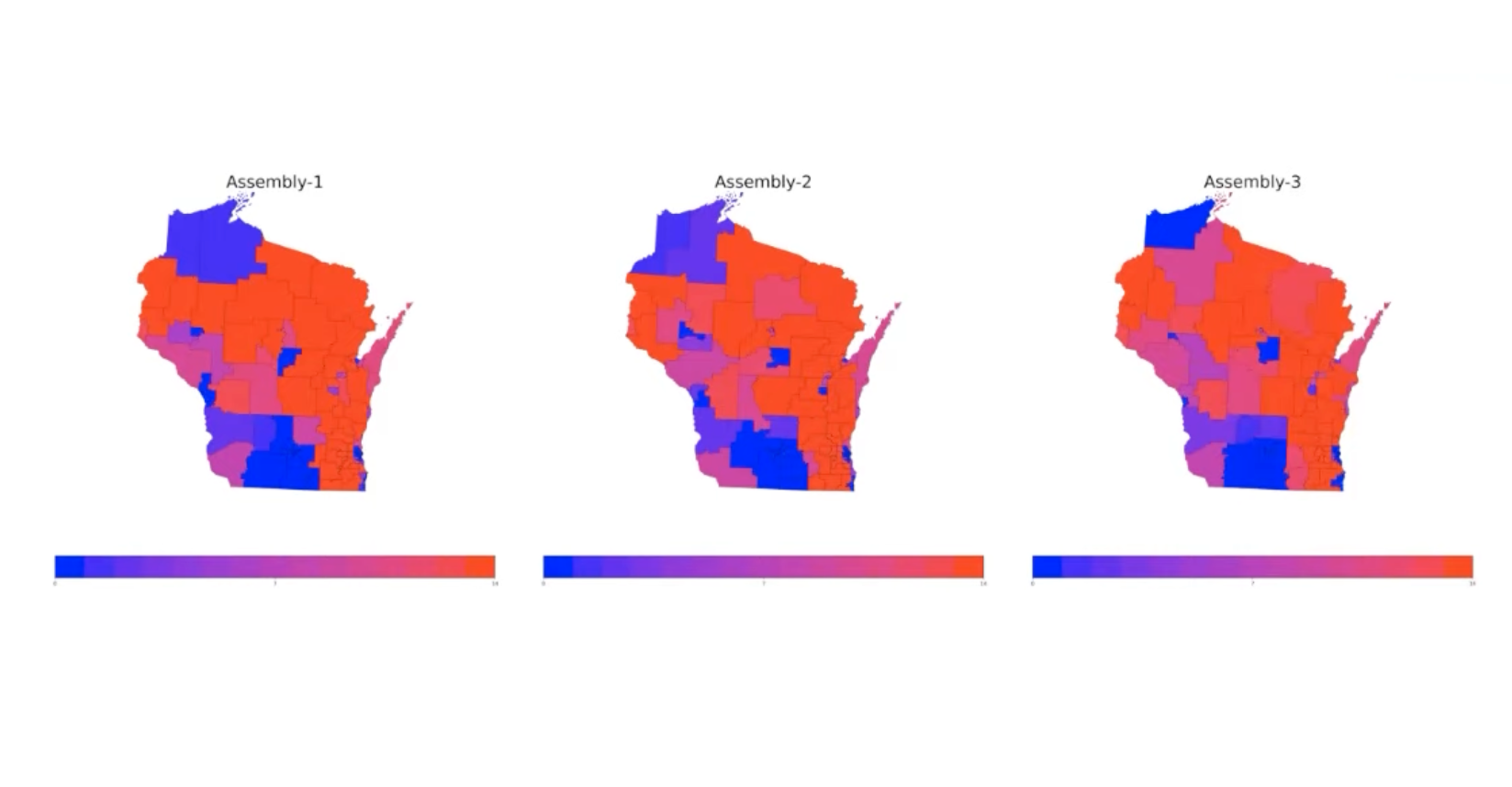
Moon Duchin, a redistricting expert and math professor at Tufts University, created the software used by the commission, and analyzed the proposed maps based on data from 14 of the state’s past elections.
News with a little more humanity
WPR’s “Wisconsin Today” newsletter keeps you connected to the state you love without feeling overwhelmed. No paywall. No agenda. No corporate filter.
She said if the commission’s maps were enacted, the Republican advantage in the Legislature would be less than under the current maps, which were drawn a decade ago by Republicans and declared an unconstitutional partisan gerrymander by a federal court in 2016.
“To my eye, what you’ve done is you’ve been able to find maps that don’t always lock in advantage for one party or the other,” Duchin said.
However, Duchin said that Republicans would maintain a slight advantage under any of the maps because many of the state’s democratic voters are clustered together in cities like Milwaukee and Madison. By her calculations, Republicans would maintain at least 53 percent of seats in the state Assembly under any of the three proposed maps.
“If you draw districts against the real political geography of most any American state, districts tend to confer a geographic advantage to Republicans, who at this time in U.S. history are more spread out across rural areas while Democrats are a bit more concentrated,” she said.
The commission will take public comment on the proposed maps for one week, with a deadline of Oct. 7 at 11:59 p.m.
Assembly Speaker Robin Vos, R-Rochester, is also taking public input for redistricting with a website where Wisconsin residents can submit their suggestions for district maps through Oct.15. Although the Legislature can consider the maps proposed by the commission, it isn’t required to.
The U.S. Census Bureau released its data in August, officially kicking off this decade’s cycle of redistricting. In Wisconsin, there are already several lawsuits related to redistricting, filed in both federal and state courts.

Wisconsin Public Radio, © Copyright 2026, Board of Regents of the University of Wisconsin System and Wisconsin Educational Communications Board.