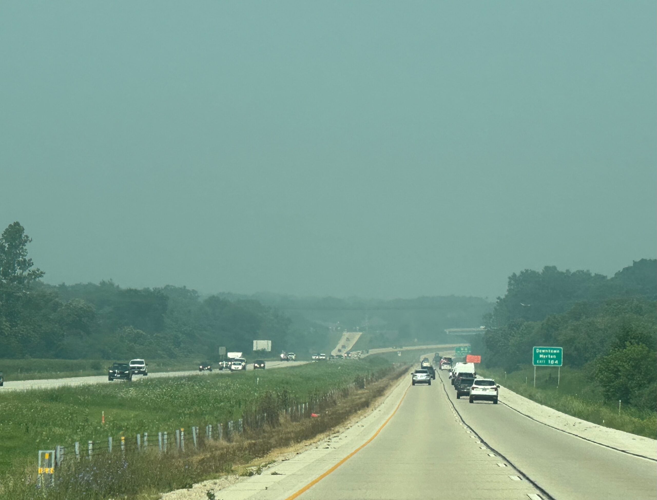

Smoke from Canadian wildfires is again blanketing parts of Wisconsin, leading to familiar hazy skies.
Air quality is the worst in Dane, Eau Claire, Grant, Jackson, Monroe and Sauk counties, where the AQI, or air quality index, is unhealthy for sensitive groups.
Air quality should improve later in the week as extreme heat makes its way in.
News with a little more humanity
WPR’s “Wisconsin Today” newsletter keeps you connected to the state you love without feeling overwhelmed. No paywall. No agenda. No corporate filter.
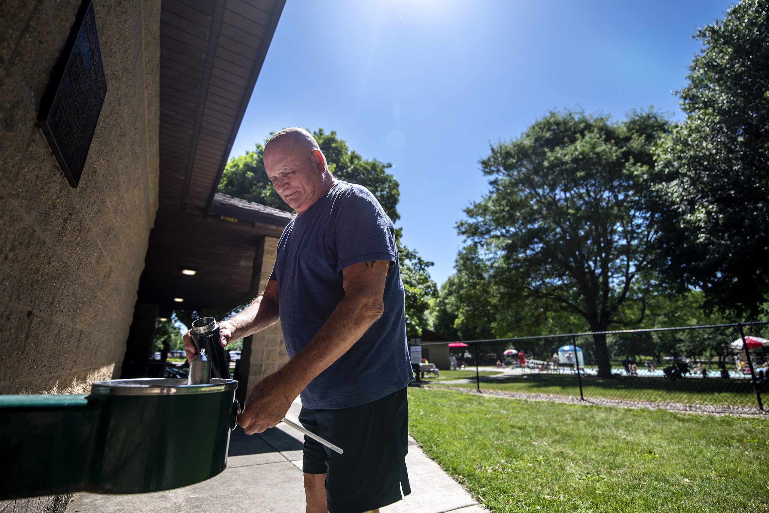
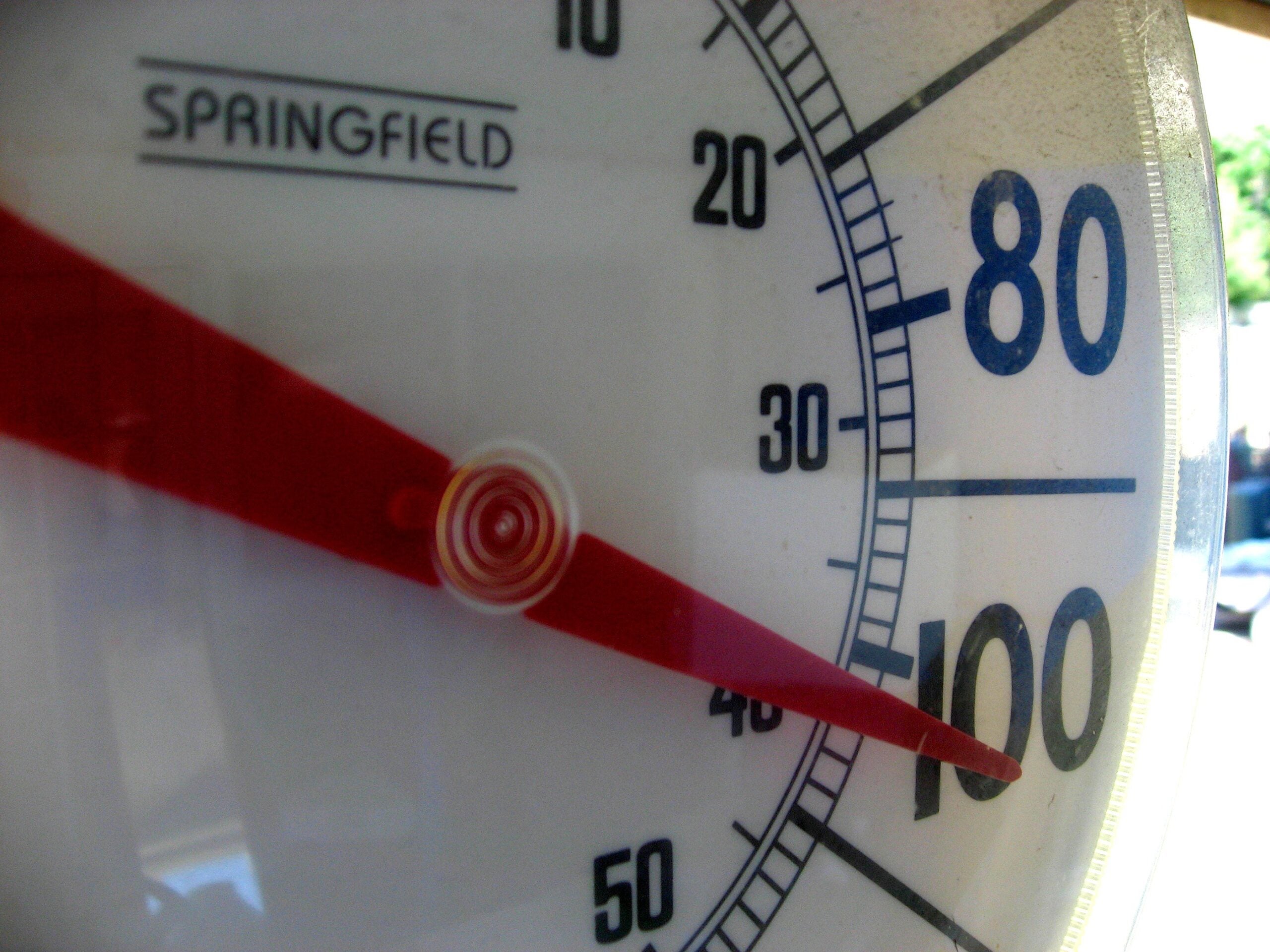
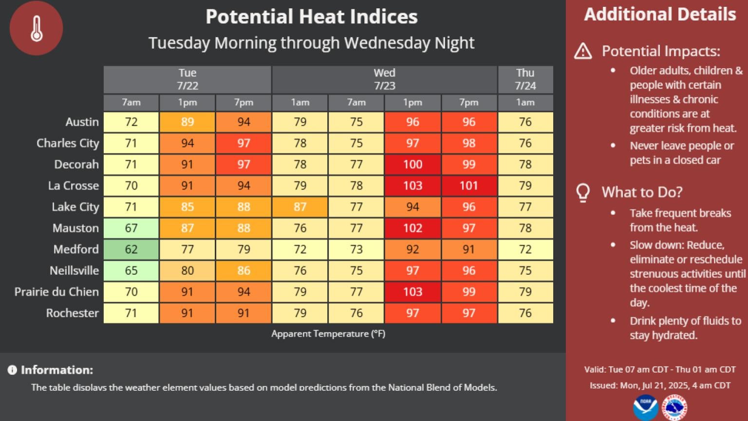
Hot and humid weather is expected to begin Wednesday, with much of the Midwest under an extreme heat watch. The National Weather Service is predicting dangerously hot conditions across most of the state with heat indices of at least 100 degrees in Milwaukee and Madison. Heat index measures how hot it feels when humidity is combined with air temperature.
Western parts of the state including La Crosse and Prairie du Chien could also reach “feels like” temperatures of over 100 degrees.
Experts recommend staying hydrated, remaining in air-conditioned spaces and keeping out of the sun. Checking in on relatives and neighbors, especially older people, is important, as is ensuring kids and pets are not left unattended in cars. On the hottest, most humid days, the Weather Service predicts cars could reach lethal temperatures in a matter of minutes.
The heat should peak Wednesday, with chances of showers and thunderstorms Thursday into Friday.

Wisconsin Public Radio, © Copyright 2026, Board of Regents of the University of Wisconsin System and Wisconsin Educational Communications Board.