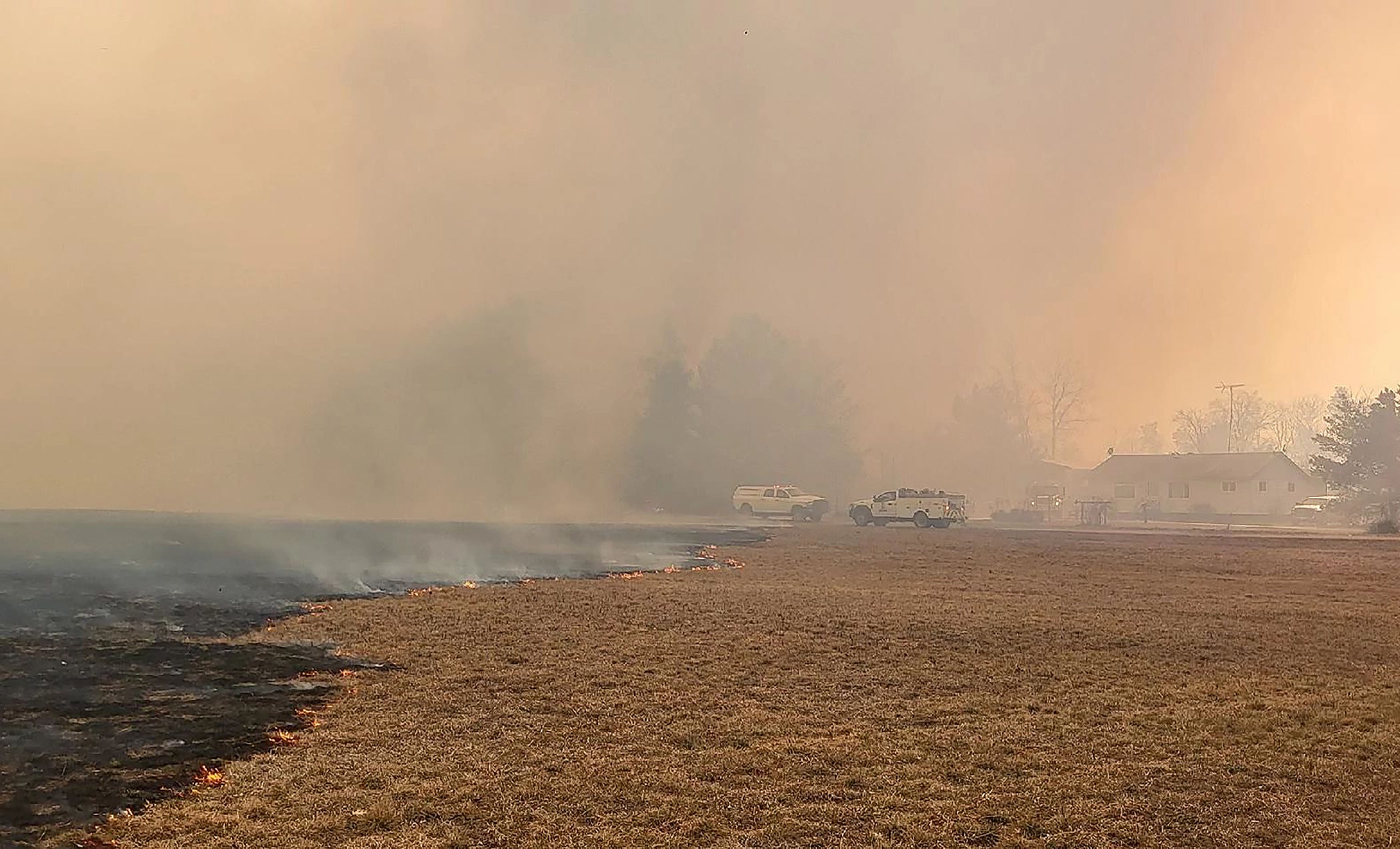
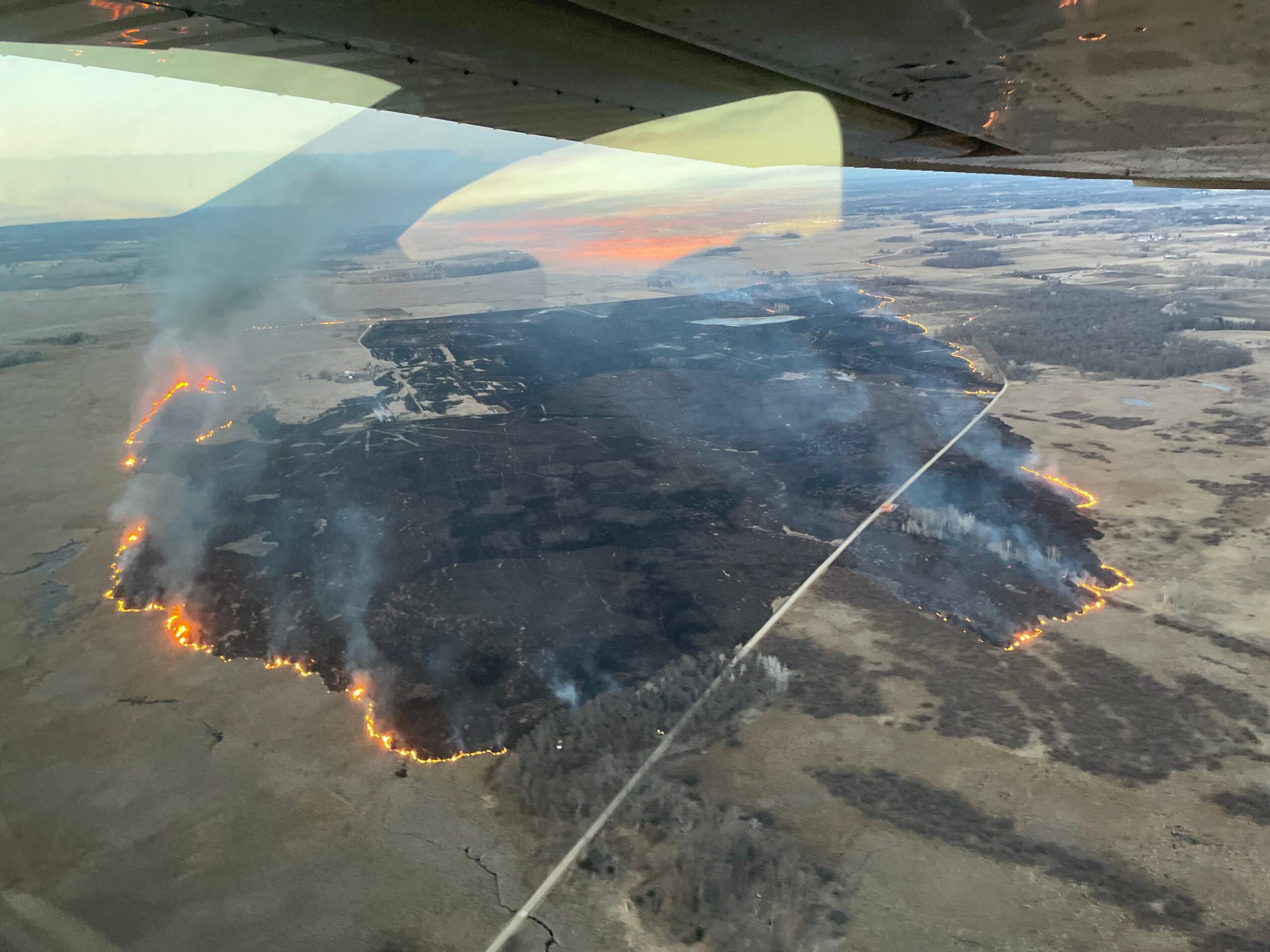
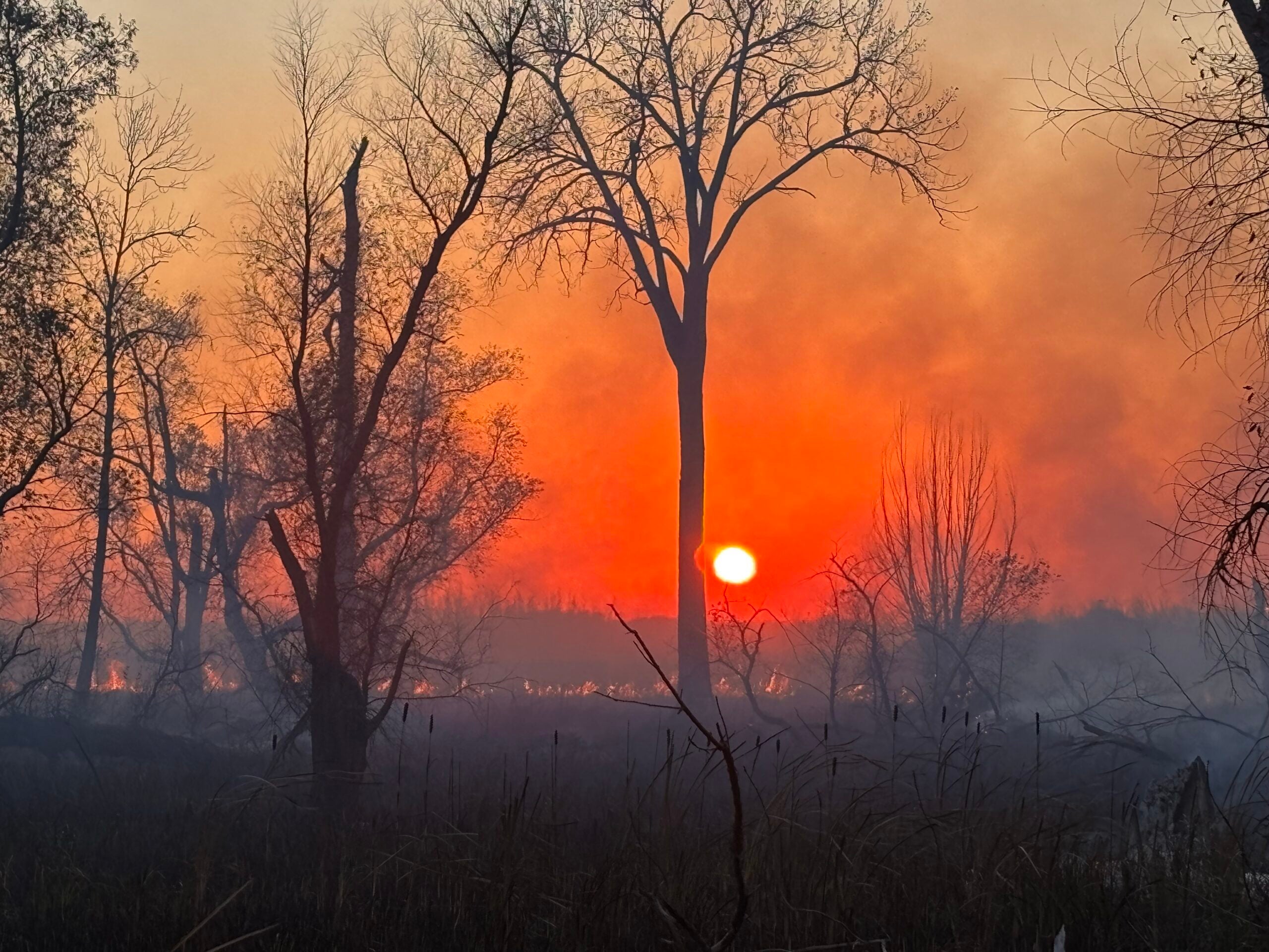
A wildfire near Fort McCoy in Monroe County has burned nearly 3,000 acres, with crews still working to contain it.
According to the Wisconsin Department of Natural Resources, the fire, which began Wednesday night, was about 50 percent contained Thursday afternoon. No injuries have been reported.
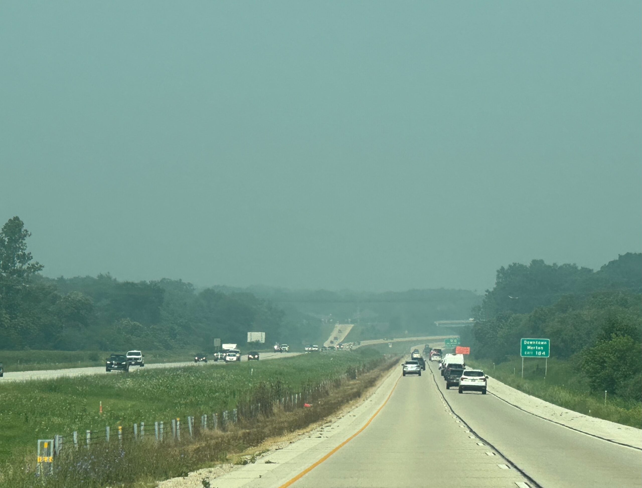
Smoke from the fire was heavy enough overnight that Interstate 94 north of Tomah was temporarily shut down. As of about 8 a.m. Thursday morning, I-94 remained closed according to the Wisconsin Department of Transportation.
News with a little more humanity
WPR’s “Wisconsin Today” newsletter keeps you connected to the state you love without feeling overwhelmed. No paywall. No agenda. No corporate filter.
Catherine Koele, the DNR’s wildfire prevention specialist, told Wisconsin Public Radio the Arcadia Fire is the state’s biggest wildfire this year. She said it began at the north end of Fort McCoy and is burning in Monroe County near the Jackson County border.
“The DNR went into unified command with Fort McCoy last night, so we are assisting them with that fire right now,” she said.
A spokesperson for Fort McCoy said in a statement “preventing loss of life and property damage and containing the fire remain the priorities at this time.”
The cause of the fire remains under investigation.
The state has seen about 45 fires in the last two days, Koele said. In a press release, the DNR said it responded to 21 wildfires that burned more than 2,500 acres, with nearly 80 occurring just in the last week.
“We’re even seeing some fires pop up as we speak,” she said. “Where we’re seeing a lot of these fires are Monroe, Jackson, Juneau, Adams County, Washington County, so definitely anticipate another busy day.”
Another fire near Necedah burned 100 acres overnight and caused residents to temporarily evacuate. That fire has been contained and no injuries were reported. The cause, officials said, is under investigation.
BREAKING NEWS: Large wildfire reported in Juneau Co. near the community of Necedah. DNR on-scene, approx. 100 acres burned, structures lost. Stay-tuned for more updates! pic.twitter.com/lRyNXAW3qJ
— Wisconsin DNR (@WDNR) April 12, 2023
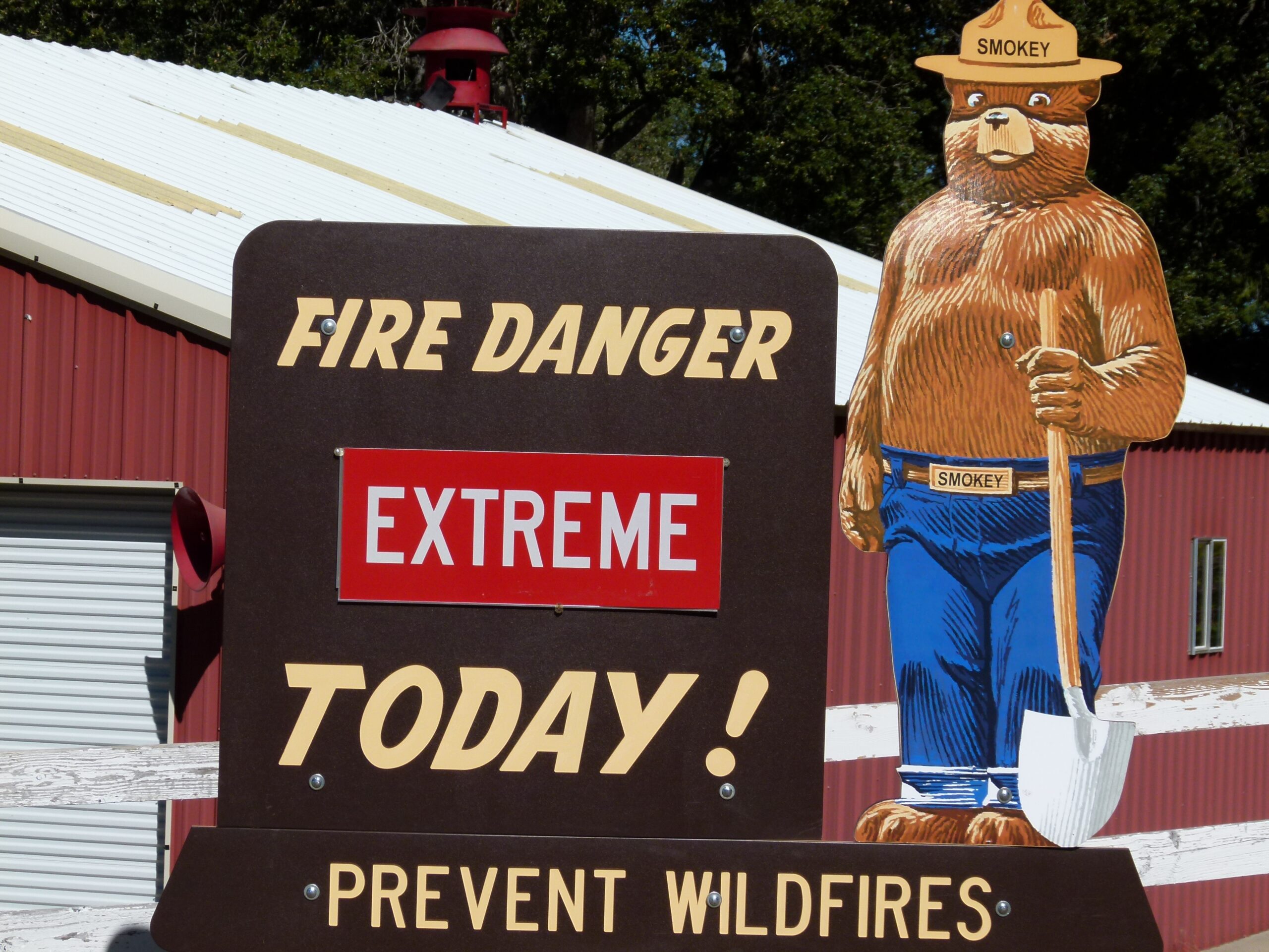
The fires come one day after Gov. Tony Evers declared a state of emergency over extreme fire danger in central and southern Wisconsin. The order directed state agencies to quickly dispatch resources, including the Army National Guard Black Hawk helicopters, to keep fires at bay and protect the public.
The DNR issued a red flag warning Wednesday for 41 counties. On Thursday, the agency continued that warning for 38 counties until 8 p.m due to warm weather, low humidity, gusty winds and dry conditions.
Koele said many of the fires over the last day and a half have been in central Wisconsin. But Koele called this year’s fire season “more traditional,” saying it typically starts in the southern part of the state and moves up north as snow cover disappears.
Still, there are some differences that set this year apart. The state has had about half the fires it had at this time last year, Koele said, but that’s likely “due to the significant amount of snow cover we have in the north.”
“We did have a little bit of a delay in our fire season this year just because the weather kind of was up and down,” Koele said
The DOT and the National Weather Service in Milwaukee warned against burning outdoors.
“Red Flag Warning once again this afternoon for critical fire weather conditions. The WDNR has southern and central WI under extreme fire danger,” the agency wrote in a tweet.
Fire crews are making progress near Fort McCoy by using engines and dozers to build containment lines. Black Hawk helicopters are making several drops to minimize fire intensity and reinforce the area. The Warrens Community Center at 601 Pine St. is being used as an evacuation center for area residents.
Many local municipalities instituted temporary burn bans to minimize risk.
At the same time, the northern part of the state is seeing flooding due to rapid snow melt.
The DNR has an online wildfire management dashboard available to monitor progress.
‘The most important firefighter is the homeowner’
DNR Forestry Specialist Amy Penn said the most important firefighter is the homeowner. She said people should first find out if they’re in fire-prone areas, like those in rural, wooded areas. Areas with sandy soils also don’t hold a lot of moisture.
She said the critical distance is about 100 feet from a home. And she advised reducing the amount of flammables within the first 5 feet, like tree branches overhanging the roof, pine needles under a wood deck and nearby firewood.
“Those are all sources of ignition, a place where an ember could land and ignite a wildfire,” she said.
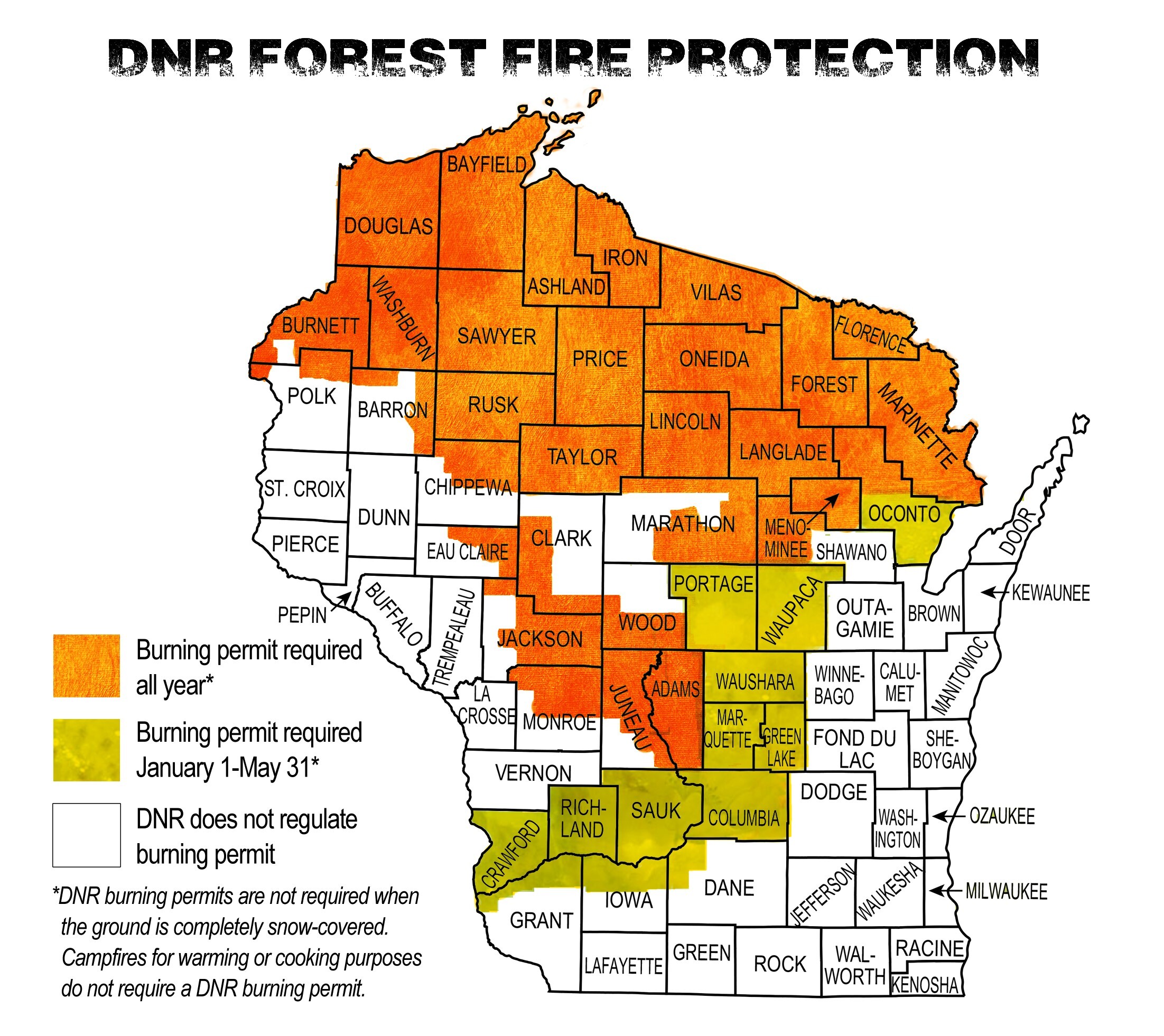
About half of the state is covered under DNR protection, meaning the agency is responsible for managing burn restrictions and responding to active fires.
“If they’re in that area of DNR protection and they’re not in a city, then it’s probably something they should be concerned about,” she said.
Penn offered some other general tips: moving firewood 30 feet away from the home, removing dry leaves and pine needles, blowing leaves out of gutters and removing weeds against the side of a house.
Additional recommendations are available via a guide for homeowners to prepare in the event of a fire.
Editor’s note: This story has been updated to reflect the fire’s location in Monroe County versus Jackson County.
Wisconsin Public Radio, © Copyright 2026, Board of Regents of the University of Wisconsin System and Wisconsin Educational Communications Board.

