Humorist David Sedaris will be in Wausau and Milwaukee this week. He chats with us about the diary he has kept for over 40 years. Climate change is altering the usual distribution of plants, animals, and diseases. We learn how the increased range of ticks could impact human health. And we take a closer look at the strategy behind the U.S. missile strikes in Syria last Friday.
Featured in this Show
-
Interview: David Sedaris On Keeping A Diary For More Than 40 Years
Humorist, author (and frequent NPR favorite) David Sedaris has kept a diary for more than 40 years of his life, and the observations that he records are often fodder for his writing and speaking.
For the first volume in his latest book, last year’s “Theft by Finding: Diaries (1977–2002),” Sedaris distills down thousands of diary entries from the years 1977 through 2002, which include meeting his long-time partner, Hugh, dealing with drug and alcohol addictions, and finding fame.
The Ideas Network’s “Central Time” executive producer Judith Siers-Poisson recently spoke with Sedaris — ahead of his upcoming trip to Wisconsin — about how he got started writing, why he doesn’t read his diaries right after he writes them, and how he manages to be so candid about the tough stuff. (For those interested in seeing him in person, Sedaris will be in Wausau on Thursday and in Milwaukee on Friday.)
Judith Siers-Poisson: You’ve been keeping a diary for over 40 years. How did you start?
David Sedaris: I just started one day. I was 20 years old. And if you had told me the day before that “Tomorrow, you’re going to start keeping a diary and you’re going to keep it forever,” I would have said, “No, I’m not.” It just started one day. I was hitchhiking across the country, and I was in the Pacific Northwest, and I was in a coffee shop, and I turned the placemat over, and I wrote on the back of it. And that was the first day.JSP: I think what’s interesting is a lot of people start writing, and make it maybe a week, a month … certainly not this long. So, what kept you writing all these years?
DS: Well, I think the mistake that those people make who you were talking about, who do it for a short while, is they start, and then they read over what they just wrote. And that’s a huge mistake. Because if you’ve just been writing for a week, you’re not going to be very good. You’re going to read over what you wrote and you’re going to think, “Oh no, that’s awful.” So, you’re going to stop. So, the key is not to read it. Just keep going, stack up the pages. Read what you’ve written yesterday five years from now and then you’re a safe distance from it, and you can laugh at it. And you can say, “Oh my goodness, look how awful I was back then.”‘
JSP: I wondered about that as I was reading. Before you took on this project, how often would you go back and revisit what you’d written years earlier?
DS: Not very often. I mean, if I was working on an essay, I have a master list of what’s in my diary. I mean most of what’s in there wouldn’t be of interest to anybody, not even me. But every now and then something happened. Like, I had an English friend visiting me, and she’s the most kindhearted person I’ve ever known, probably. And the way that she thinks just isn’t like anybody else. She was talking about a place where she used to work, and she said, “There was this man who worked there. And he didn’t really have anything, and he was living in his car. And he was really small, and he just had one little patch of white hair on his head. And his eyes were kind of crooked. Everyone else at work was really mean to him, but I think they were just jealous.”
So, I wrote that in my diary and then I put it on the list because I thought, “You know, something tells me that I’m going to return to that.” That would just be worth remembering.
JSP: And did you go back to that at some point?
DS: Well, I put on the list because I think one day, you know, maybe 10 years from now or five years from now … Yesterday, and the day before yesterday, I wrote in my diary, got up and wrote in it for probably 45 minutes. But I don’t know that it was anything admirable or remarkable in any way. But every now and then something happens, and I make a note of it. And so often, when I’m writing a story, I’ll go back and I’ll say, “Oh, look, that’s in diary number 172, on January 14th.” So, if I’m working on a story, I’ll read through it, just for reference.
JSP: So what kind of journals or diaries or notebooks do you actually use? I’m guessing that you’re writing these longhand.
DS: No. When I first started, you know, I was writing on placemats. And then I moved on to sketch books and then I started typing them out on 8 x 9 1/2 sheets of paper. I would do one every season, and at the end of every season, I would make a cover for it. And I would have it bound. So, I’m very particular about what they look like. Which is sort of crazy, because no one’s ever really seen them. I mean I’ve never handed a diary over to anybody to really read it, or rifle through it or anything. So every one of them is the same size, but they’re all different.
But I just sold them all to Yale University. And that just sort of hit me. I’ll still have a copy, they’ll make me a digital copy of everything. Maybe I just thought, “Well, I got into Yale!”
JSP: And they paid you instead of you paying them!
DS: I was so impressed with myself. It didn’t really occur to me what I had just done.
JSP: So this first volume covers 1997 to 2002, and the book is over 500 pages. How much of what you wrote in those years actually made it into the collection? It feels like it’s a very small percentage of what you probably wrote.
DS: Oh yeah, probably one, or two, one-thousandth. Just a very tiny fraction of it. I did try to include things in the book that maybe would be entertaining to people or they’d be funny. Most of it, like I said, most of it’s just incredibly boring.
I think the best — aside from my friend Ingrid visiting — I was walking along the road the other day, I live in the country. So I was walking along the road, and this man stopped and said, “Would you like a ride?” He said, “I’m not a weirdo.” I just wanted to say, “Oh, in that case, no – I’ll walk.” “I’m not a weirdo?”
JSP: So how hard was it to cut down or to even start deciding what to include in this collection?
DS: Well, you know what, when I go on tour, which I do quite often and I’ll go on a tour and I’ll read out loud. I usually read essays or stories. And then at the end of the evening I usually read from my diary. Not higgledy-piggledy, just things that I think, “Oh, this might work.” And if it indeed does work, I put it into a file called “diary entries that work.” And they’re just things that get a nice laugh.
And so my original idea was to just publish that file. Then, my editor said, “Why don’t you go and find things that aren’t necessarily funny. And add those to the book as well.” And so she was a really big help at cutting things down. She would say, “You know, you have so many stories in here about the IHOP. You know maybe we can cut some of these down. And you’ve got so many entries about people asking you for money. Let’s pick the best 30.”
JSP: We should talk about the title of the book, “Theft By Finding.” What does that mean?
DS: Oh, it’s a British term. I found some money on the side of the road, and I told my friend Pam. And she said, “Did you inform the police?” And I said no. It was only 20 pounds. And she said that in England, that’s called theft by finding. If you find something and you don’t bother to ask whether it was lost or stolen. I just thought it had a nice ring to it.
Plus I needed shorter title. You know my previous book was called “Let’s Explore Diabetes with Owls.” That takes up a lot of room on a page. And then for the second part of the diary book, I was looking for a title and a friend of mine in London went to an Indian restaurant and sent me a photograph of the menu. And there was a section of the menu that was titled “A Carnival of Snackery.” So, that’s what I’m going to call the second part of the book.
JSP: Besides general observations and the minutiae of life you also record major life events and they often just kind of slip into these diary entries. David could you read for us the Sept. 20, 1991 entry?
DS: Sept. 20, 1991. New York. Amy is in town to do our play so we were together last night when mom called and told us she has lung cancer. She phoned from the hospital, her voice stuffy-sounding due to a tube she had in her nose. We are all of us shocked. The surprise isn’t that it’s lung cancer over any other type but that she has it at all. It made sense that Mrs. Steigerwald, Mrs. Rury, and Uncle Dick had cancer. Not that they were deserving of it, but you could picture them in waiting rooms. I always felt certain we weren’t that kind of people. It’s silly, but that’s what I’d told myself.
The tumor is lemon-sized, but it hasn’t spread, which is good. On Monday, the doctor will present a treatment plan, and she’ll let us know what it is.
After mom hung up, Amy and I talked to Lisa and Tiffany. Paul doesn’t know yet. She hasn’t told him. On the phone, she said it very simply: “I have news for you. I have cancer.”
This is the last day of summer. The temperature was in the low 60s, crisp. Before rehearsal, I went to the new apartment on Thompson Street and watched for a while as Hugh chipped away plaster and exposed the brick wall beneath it.
JSP: I was really touched by that. My mother actually died of lung cancer when I was a teenager. And I really got the sense in that entry how life changes in that moment from before you knew it, to after you find out.
DS: Well, it is kind of true. I mean, I would imagine it would be like that for everybody. That they would think, “Wait a minute, we’re not that kind of people. That happens to other people, but that’s not supposed to happen to us.” I would just imagine that everybody would think that way. You know even if it’s a situation where, like with my mom. I mean, she was a big smoker, but you still don’t think something like that is going to happen in your family.
JSP: You’re really candid in the diary about struggles with alcohol and your drug abuse. And I wonder what that was like putting that into the manuscript, sending it off, and knowing that those really personal parts of you are now going to be sold, and read, and consumed by all these people who have known you in some way, but not in this really personal way necessarily.
DS: Oh gosh. I mean I figure people aren’t that different, you know. So it’s hard for me to think of anything that I’ve written that somebody couldn’t relate to. Or you know, that somebody wouldn’t say, “Oh, that’s me talking.”
I have a book coming out in a few months and there’s an essay in here. I discovered a tumor on my side. It’s called a lipoma. Dogs get them all the time. It’s just a harmless fatty tumor. And so I went to a surgeon to see if he could remove it because I wanted to feed it to a snapping turtle. So maybe everybody wouldn’t want to feed their tumor to a snapping turtle. But the rest of it seems like something that everyone could relate to. You know, you discover this lump on your side, and you’re terrified, and then you find out that you could live with it for the rest of your life, or you could feed it to a turtle.
JSP: You know, I’ve always enjoyed your observations of the absurd aspects of everyday life and the quirks of various people — your family and friends, but also strangers. Does that ever get old for you? Because it seems like this has been something that you’ve kind of relished for your whole life. From reading these diary entries, it seems like this has been part of the way that you move through the world, ever since you’ve been writing in these diaries.
DS: Oh, it’s just what I live for. You know, to have an encounter with somebody where you really get to learn something that’s surprising, or shocking, or ridiculous. I wouldn’t say that I go out specifically in search of it. You know when I very first started publishing things, I would get calls, and somebody know a magazine would call and say, “We want you to stow away on a ship and write about what’s so crazy about it.” And then it’s just false from the very start. I never wanted to be that kind of writer. Like “We want to send you into this situation and you find the funny.” You know, you have a deadline, and you’re desperate, and then you wind up writing things like,”what’s up with socks?” I would just rather go through my life and then see what happens. You know, my world is fairly small, but you know it’s funny how people come to you. I mean literally. I was sitting at my desk this morning, and I saw this guy with a really big knapsack walk right by my window. He was a peddler and he was selling house cleaning equipment. And he had this enormous knapsack on his back.
And so literally he came right to my door, and it was just an encounter. You know, it’s always weird when someone comes to your door, and they’re trying to sell something. This is sort of something they do with juvenile delinquents here. You know, they send them out, and they have to earn money by peddling. And they just look like they’d steal your car in a second. It was like they went to central cast and found these guys. So anyway, it wound up costing me like $30, but I thought, “well, now I can write about it.” That’s how I feel about most things. “Well, I’ll write about it.”
I had to have a root canal recently. And it took place over three continents. I was on a plane going from one continent to another, going from Australia to Japan and then going to the United States, and coming to England, with a big ice pack on my jaw. I thought “Well, I’ll write about it.” I don’t know what other people do. I don’t know how they handle things.
JSP: David, before we let you go, my first introduction to you was “Me Talk Pretty One Day,” and I could relate so much to the language and cultural challenges of living in, or visiting another country. And some of those experiences made it into your diary. I wonder if you would leave us with the Aug. 4, 1999 entry.
DS: Aug. 4, 1999. Paris. In Venice, I got a haircut at a little place not far from my hotel. The barber spoke no English, and because I’d left my phrasebook back in the room, we just nodded to each other, me indicating, I’m guessing, that he should just go wild. The result is a hard, mousy-brown domes that sits on my head like a helmet someone tossed from a few feet away. After leaving, I tried to soften it, but nothing worked, so I had to walk around like that until after dinner. We ate at an outdoor restaurant someone had recommended. Beside us sat a family of German — a man, his wife and their daughter, who looked to be around 30. They were just finishing their meal and had ordered another round of drinks as we arrived. The man lit a cigarette and then, with no apparent shame or self-consciousness, he farted. Ten minutes later he did it again. The table to our other side started laughing and looking our way, thinking that Hugh or I had done it. They were American and while it would have been easy enough to set them straight, it always looks like you’re lying you’re trying to it was you who farted
JSP: Well I can’t think of a better place to leave this than that. David, thank you so much for joining us today and I hope you enjoy your visit to Wisconsin.
DS: I plan to. Thank you so much!
-
U.S. Leads Coalition Missile Strikes Against Syria
In the wake of missile strikes against Syria over its president’s suspected use of chemical weapons, we look at the strategy behind the strikes and if the U.S. and its allies achieved them.
-
Humorist David Sedaris On Keeping A Diary For Over 40 Years
Humorist and NPR-favorite David Sedaris has kept a diary for over 40 years, and the observations he records are often fodder for his writing and speaking. For the first volume, he distills down thousands of entries from the years 1977 through 2002, wchih include meeting his long-time partner, Hugh, dealing with drug and alcohol addictions, and finding fame.
-
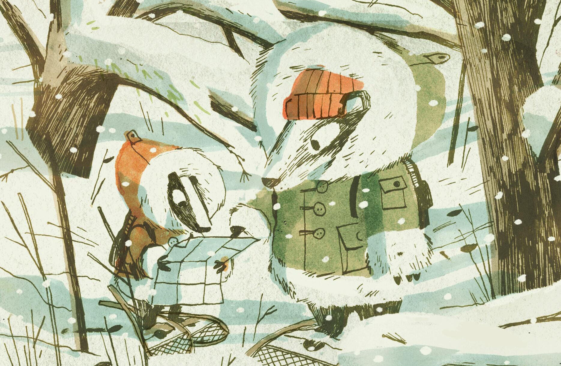
Climate Conditions Favorable For Ticks And Lyme Disease
In 1996 the Center for Disease Control created the first map depicting cases of Lyme in the U.S., each indicated by a black dot. Regions on the east coast were solid black stretches, and areas on the Minnesota-Wisconsin border were heavily dotted. Eighteen years later, dots make their way further inward from the coast line and also envelop much of the Midwest. A new book investigates how and why tick populations are expanding and tick-borne illnesses such as Lyme disease are affecting a mass amount of the populationa. We talk to the author.
Episode Credits
- Rob Ferrett Host
- Judith Siers-Poisson Host
- Judith Siers-Poisson Producer
- Rachael Vasquez Producer
- Natalie Guyette Producer
- David Sedaris Guest
- Nahal Toosi Guest
- Mary Beth Pfeiffer Guest
Wisconsin Public Radio, © Copyright 2026, Board of Regents of the University of Wisconsin System and Wisconsin Educational Communications Board.