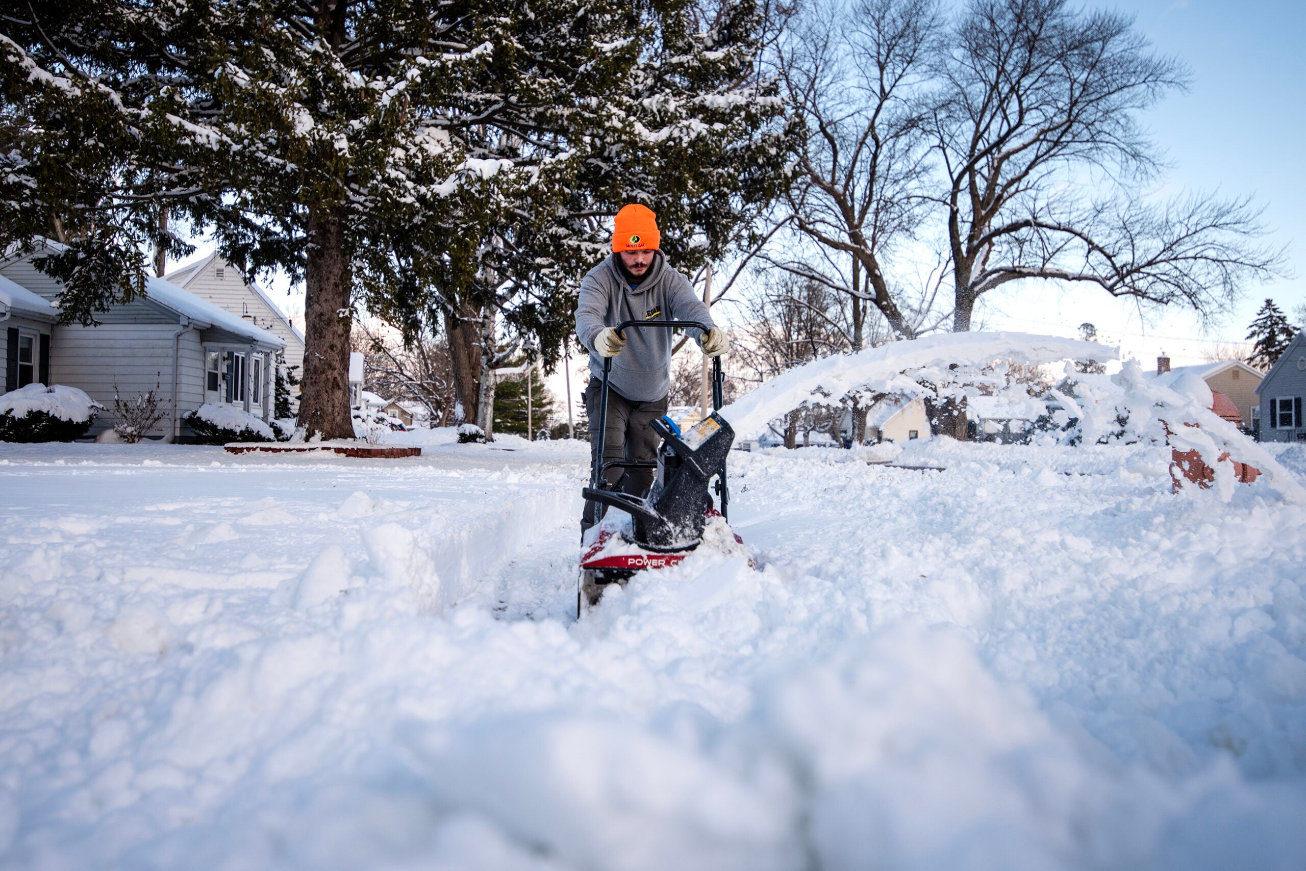
As the second round of a historic winter storm begins to work its way through Wisconsin, weather warnings have been issued for the entire state.
The National Weather Service said people in parts of central Wisconsin can expect between 10 and 15 inches of snow through Thursday afternoon, while those in far southern Wisconsin could see up to a half inch of ice.
Residents of west-central Wisconsin woke up Wednesday morning to between 2 and 4 inches of snow, but National Weather Service Twin Cities Meteorologist Ryan Dunleavy said much more is on the way.
News with a little more humanity
WPR’s “Wisconsin Today” newsletter keeps you connected to the state you love without feeling overwhelmed. No paywall. No agenda. No corporate filter.
“We’re still looking at a potential of 10 to 15 inches across western Wisconsin and a little bit less as you go farther north,” Dunleavy said. “Anywhere from like Duluth, (Minnesota) and farther south, you get 7 to 10 inches.”
12 PM Update: Round 2 will track northward this afternoon and persist through Thursday afternoon. Driving conditions will become dangerous this evening and tonight as gusty winds will generate blowing snow and poor visibilities. #mnwx #wiwx pic.twitter.com/qmW0pPtYWG
— NWS Twin Cities (@NWSTwinCities) February 22, 2023
That means parts of central Wisconsin could wind up with a grand total of nearly 20 inches by Thursday afternoon.
“This is definitely one of our historically large snowfalls that we’ve ever seen on our climate period of record,” Dunleavy said. “And that dates back quite a while.”
Other top total storms include the 1991 Halloween blizzard that dropped around 32 inches of snow in Superior and a 2010 storm that dropped more than 18 inches in western Wisconsin and the Twin Cities, which ruptured the roof of the Metrodome.
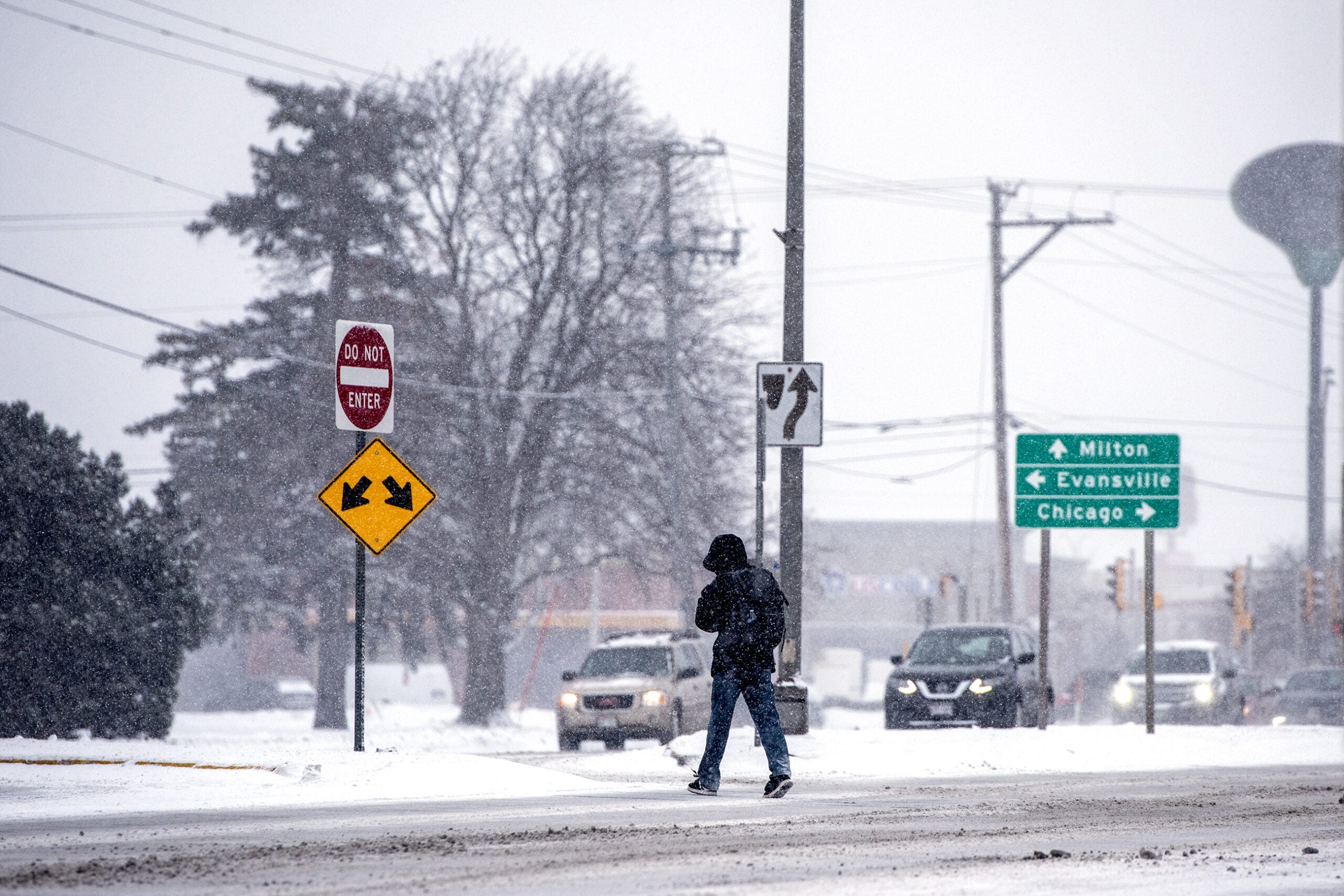
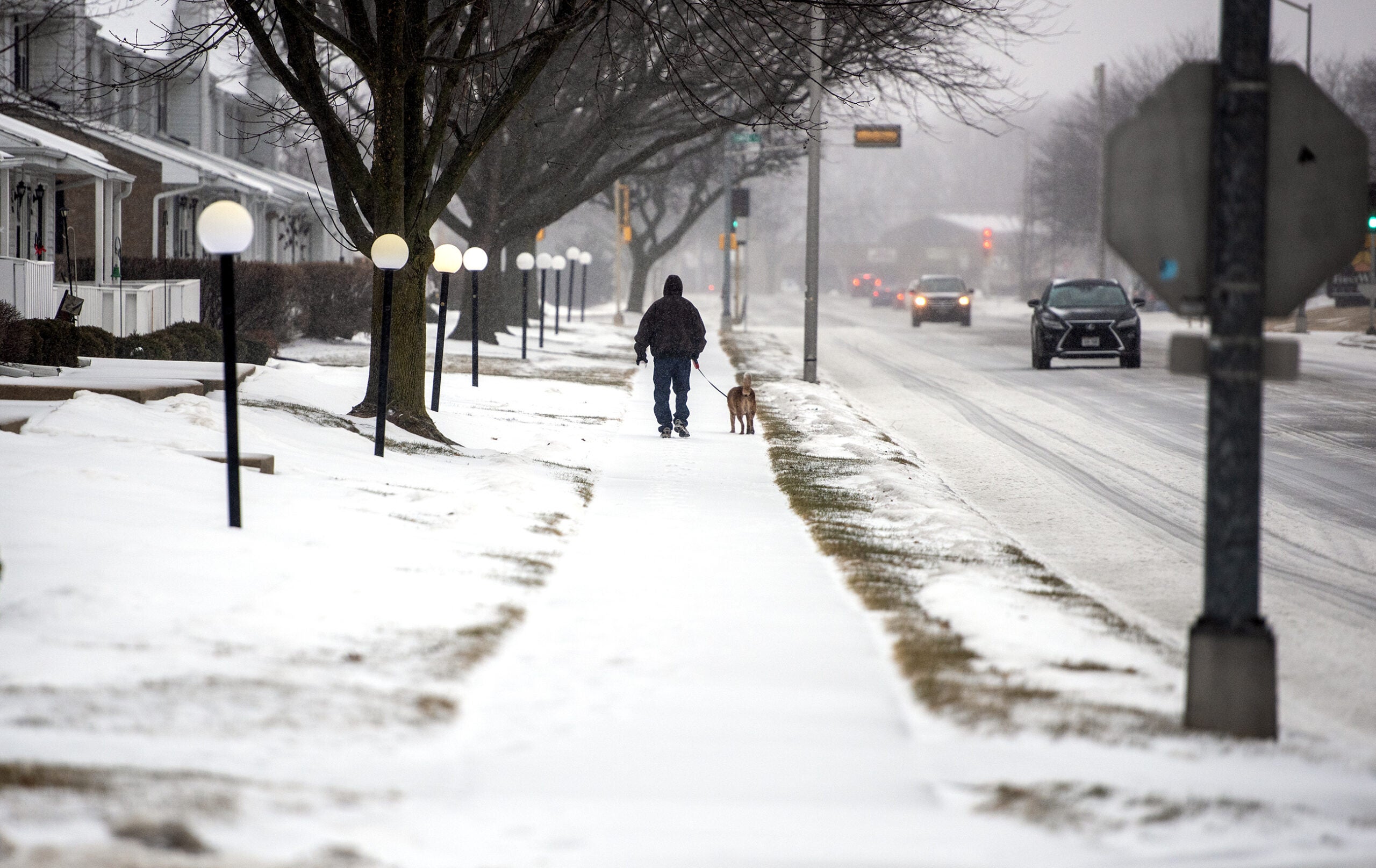
Farther south in Wisconsin, snow totals won’t be as high, but chances for a mixture of sleet and freezing rain increase, said Jaclyn Anderson, lead weather service forecaster in Milwaukee/Sullivan.
Snow, sleet, and freezing rain has built in across southern Wisconsin. Untreated and elevated surfaces will become slick quickly for those getting freezing rain & sleet. #wiwx pic.twitter.com/hDIlzJ7uSj
— NWS Milwaukee (@NWSMilwaukee) February 22, 2023
“If we’re looking at southern parts of Sauk, Columbia, Dodge, Waukesha, Ozaukee counties, and then northern parts of Iowa, Dane, Jefferson, Waukesha and Milwaukee Counties, this is where things get really complicated and really tricky really quickly,” Anderson said in a weather briefing posted on Twitter.
For those counties along the southern border with Illinois, the weather service said there is high confidence for ice accumulations between a quarter and half inch, which is expected to cause significant travel impacts and potential power outages.
In far northern Wisconsin, high winds are expected along parts of Lake Superior with a blizzard warning in effect for Ashland and Bayfield counties through Thursday afternoon.
Wisconsin Public Radio, © Copyright 2026, Board of Regents of the University of Wisconsin System and Wisconsin Educational Communications Board.