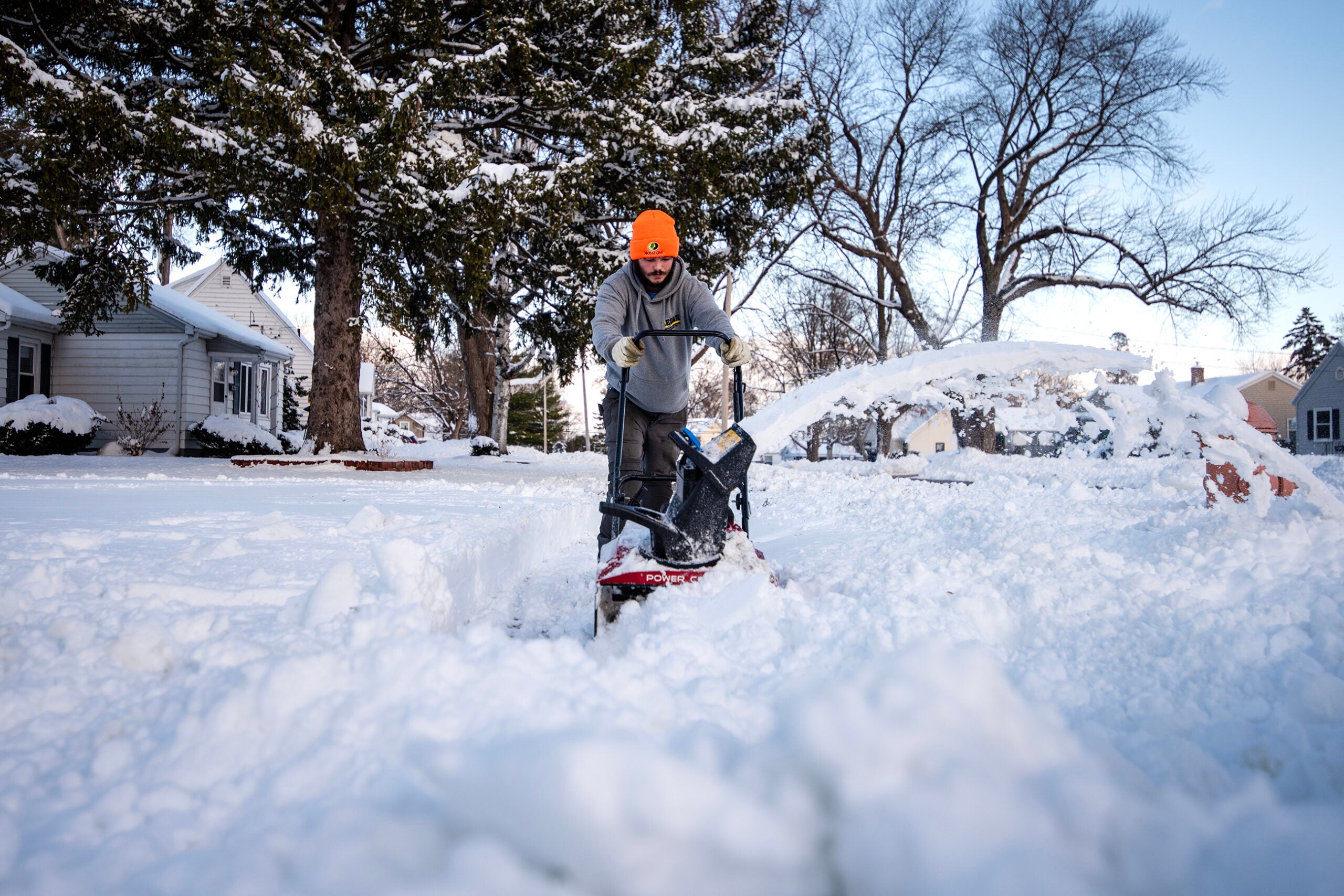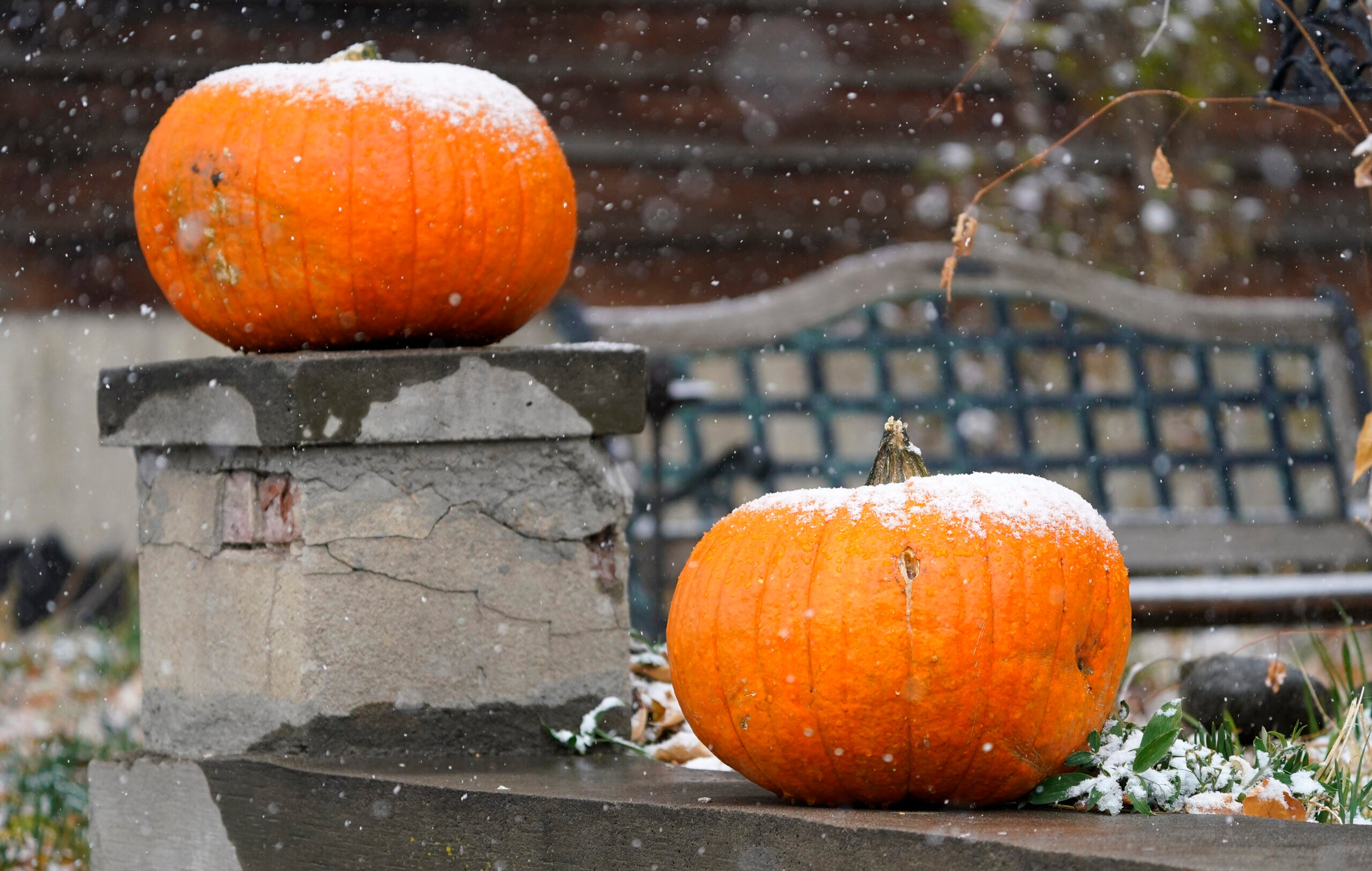
Even as the leaves change colors this fall, it’s not too early for widespread snowfall and cool temperatures across Wisconsin.
The state will see on and off snow showers throughout the day Monday, with pockets of some moderate to heavier snow that reduces visibility at times, according to Rebecca Hansen of the National Weather Service in Milwaukee. The snow isn’t likely to stick beyond grassy or elevated surfaces, but the wet roads warrant caution, even without the slush.
“If you do run into those lower visibilities, make sure you slow down, you have your headlights on, be cautious,” Hansen said. She stressed that even on wet roads, people can hit their brakes too hard or hydroplane if they are driving too fast.
News with a little more humanity
WPR’s “Wisconsin Today” newsletter keeps you connected to the state you love without feeling overwhelmed. No paywall. No agenda. No corporate filter.
While some portions of Wisconsin saw their first snow flurries late last week, snowy weather hit much of the state on Monday.
Winds are expected to gust up to 30 miles per hour this afternoon in the southern part of the state, and pick up to around 20 to 25 miles per hour in the northern part of Wisconsin.
“Those winds are also going to keep temperatures on the cooler side, with wind chills pretty much in the 20s throughout the day, so a bitter start to the work week,” Hansen said.
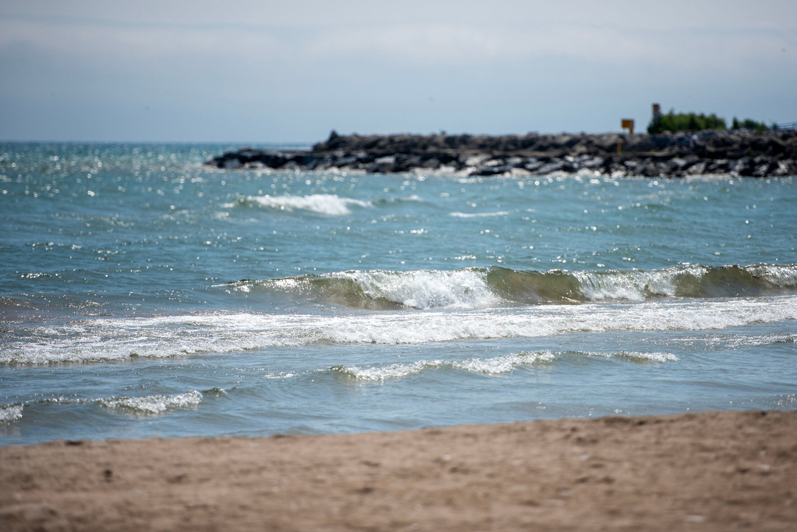
A gale warning is in effect for nearshore waters near Lake Superior, according to Woody Unruh, meteorologist at NWS in Duluth. That could bring gusts in the range of 39 to 54 miles per hour. The warning is set to expire at 10 p.m. Monday night for the south and western shores of Lake Superior and the Apostle Islands.
Temperatures will dip tonight into the mid-to upper 20s with areas near Lake Michigan in the lower 30s. Wind chills are expected to reach the 20s from Sheboygan to Kenosha and drop as low as the teens toward Madison.
Is this normal?
While it may seem early for snowfall, it’s not too far out of the ordinary.
“It’s not out of the realm of possibilities,” Hansen said. In Madison, the average first trace of snowfall usually occurs the last week of the month on Oct. 27. It’s slightly later in Milwaukee, where the average is Nov. 2.
She said the earliest snowfall for Madison was on Sept. 23 in 1928, and for Milwaukee, Sept. 23, 1942.
As of early afternoon Monday, the Hurley-Ironwood areas already received more than an inch of snowfall. That typically occurs around Oct. 28, Unruh said.
“It’s slightly earlier than average, but definitely not too out of the question when it comes to lake effect snow for this time of year,” he said, although it’s “definitely pretty chilly for this time of year.” No additional accumulations are expected around Duluth.
In northern Iron and Ashland counties, the lake effect snow will start winding down this evening with drier conditions expected in the coming days, according to Unruh.
What’s ahead?
These fluctuations between warmer weather and windy days are part of the transition from fall to winter.
“We’ll get these stronger systems that bring in the colder air from the north, and then you’ll get a surge of warmer air from the south once that system moves off,” Hansen said, adding that fall is considered a “sub-second severe weather season” given it’s typical rapid weather.
But don’t pack on the layers too fast — this cold will be short-lived. The rest of the week will see a gradual warm-up as temperatures reach the upper 30s and 50s to 60s by Thursday. Much of the state will hit high temperatures of about 70 degrees this weekend.
Wisconsin Public Radio, © Copyright 2026, Board of Regents of the University of Wisconsin System and Wisconsin Educational Communications Board.