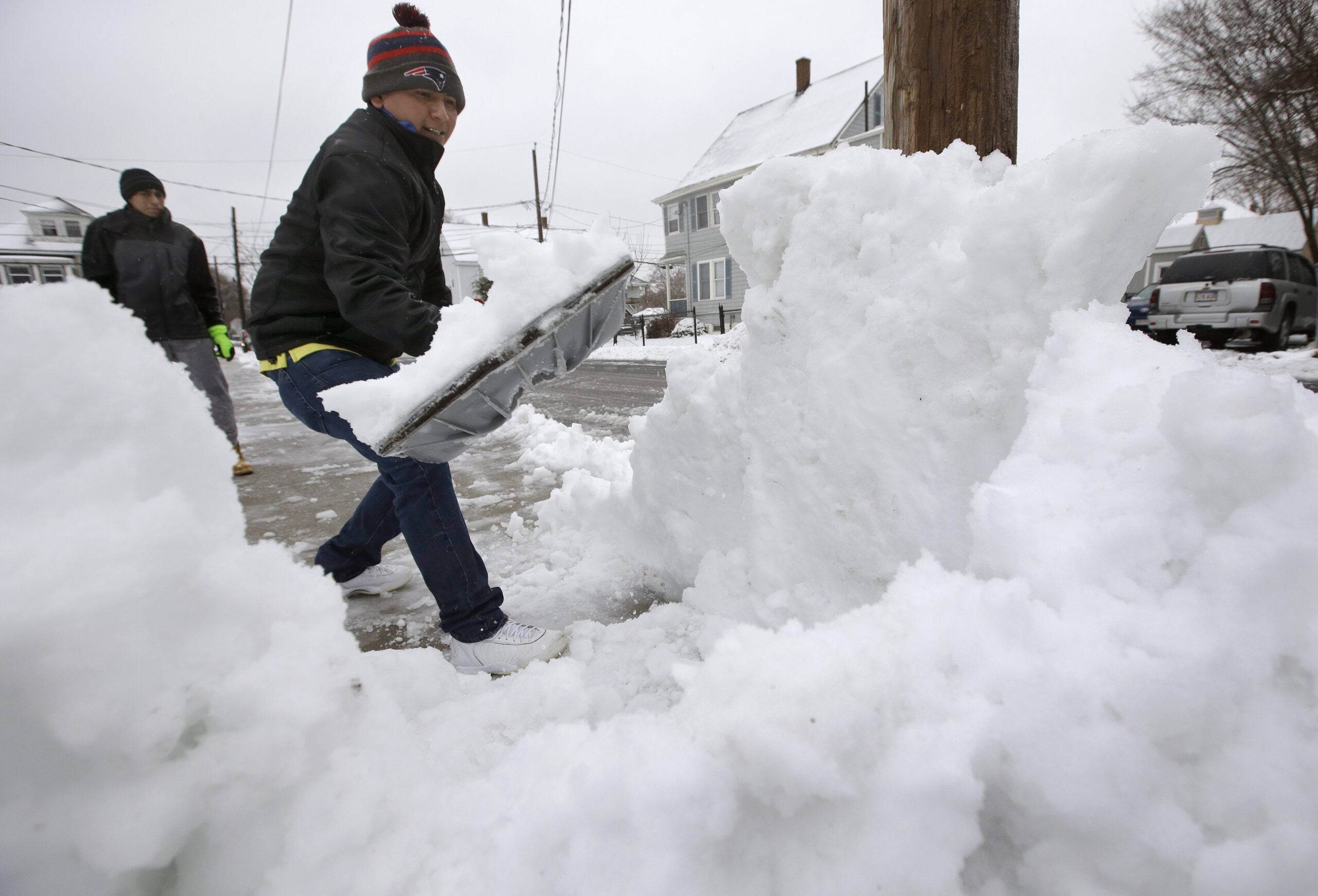
Wisconsin is expecting a weekend winter storm that could bring heavy snow late Friday and continuing through Saturday morning.
Meteorologist Rich Mamrosh of the National Weather Service-Green Bay said the heaviest snow will begin after Friday evening’s commute, but some areas may begin seeing snow in the afternoon.
“There’ll be some impact to the drive home, say, down in Baraboo, the Dells, Madison and maybe, to a lesser extent, the Milwaukee area,” he said. “There might be about a half inch or snow by evening in the southwest part, out by La Crosse.”
News with a little more humanity
WPR’s “Wisconsin Today” newsletter keeps you connected to the state you love without feeling overwhelmed. No paywall. No agenda. No corporate filter.
Our impending winter storm for tomorrow and Saturday is just now making landfall on the West Coast. That means we’ll get increased data sampling over the next 12-24 hours, helping us to better refine our snowfall forecast. pic.twitter.com/H0g4Gp3hMr
— NWS La Crosse (@NWSLaCrosse) January 16, 2020
Northern Wisconsin could see 6 to 9 inches of snow during the storm, while the southern half of the state could see around 4 to 7 inches.
Mamrosh said the heaviest snow will start falling Friday evening and continue overnight before wrapping up Saturday.
“The snow will end from west to east, starting around midday,” he said. “Then it’ll get pretty windy, so there’ll be blowing and drifting snow over the northwest half of Wisconsin.”
Wisconsin Public Radio, © Copyright 2026, Board of Regents of the University of Wisconsin System and Wisconsin Educational Communications Board.