Shovels and snowblowers set aside for warmer weather will once again get some use this weekend in Wisconsin.
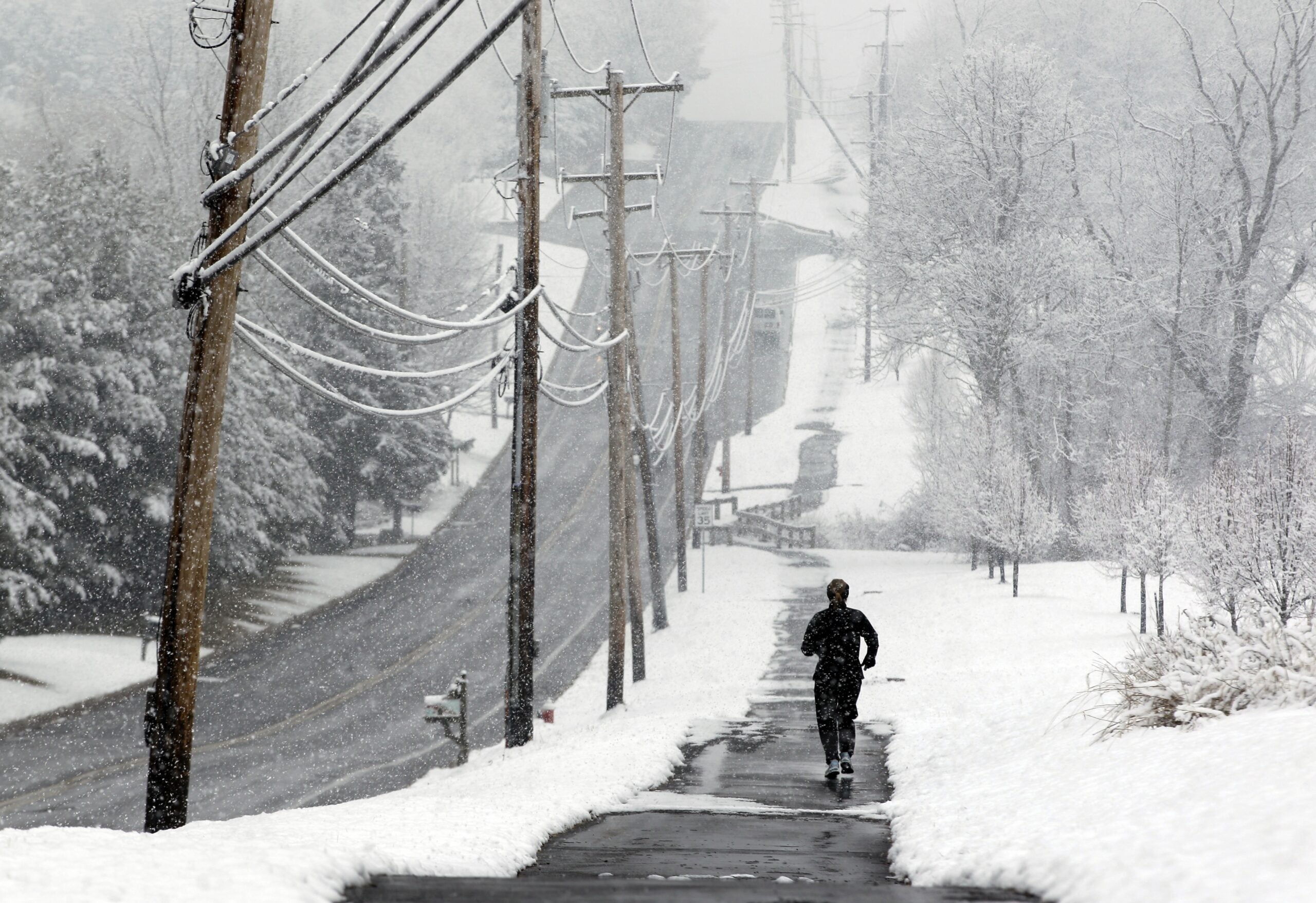
Forecasters say a strong spring storm could deliver up to 9 inches of snow in the Madison area, with lesser amounts elsewhere in southern Wisconsin. The National Weather Service said accumulations will vary depending on what track the storm takes on Saturday.
Forecasters said the snow will fall Saturday afternoon and into the evening. It might start as rain on Saturday morning, then turn quickly to snow as it travels across the southern part of the state.
Stay informed on the latest news
Sign up for WPR’s email newsletter.
Molly Aufforth, a meteorologist at the National Weather Service office in La Crosse, said to expect heavy, wet snow because temperatures have been warm in recent days.
“Any slight change in the temperature can make it all rain,” she said. “Or if it’s a little bit cooler, the snowflakes can become bigger, fatter and can accumulate and clump together more to make it wet heavy snow.”
A winter storm watch has been posted for Saturday. A strong late season winter storm to bring 5 to 7 inches of snow to southern Wisconsin. pic.twitter.com/pIzrboKOLm
— NWS Milwaukee (@NWSMKX) April 26, 2019
She said the coldest temperatures will be on Saturday night, with lows in the low to mid-20s.
But, with sunny skies and temperatures in the mid-40s, the snow will begin to melt Sunday.
The weather service said southern Wisconsin generally averages about an inch of snow in April.
Wisconsin Public Radio, © Copyright 2024, Board of Regents of the University of Wisconsin System and Wisconsin Educational Communications Board.