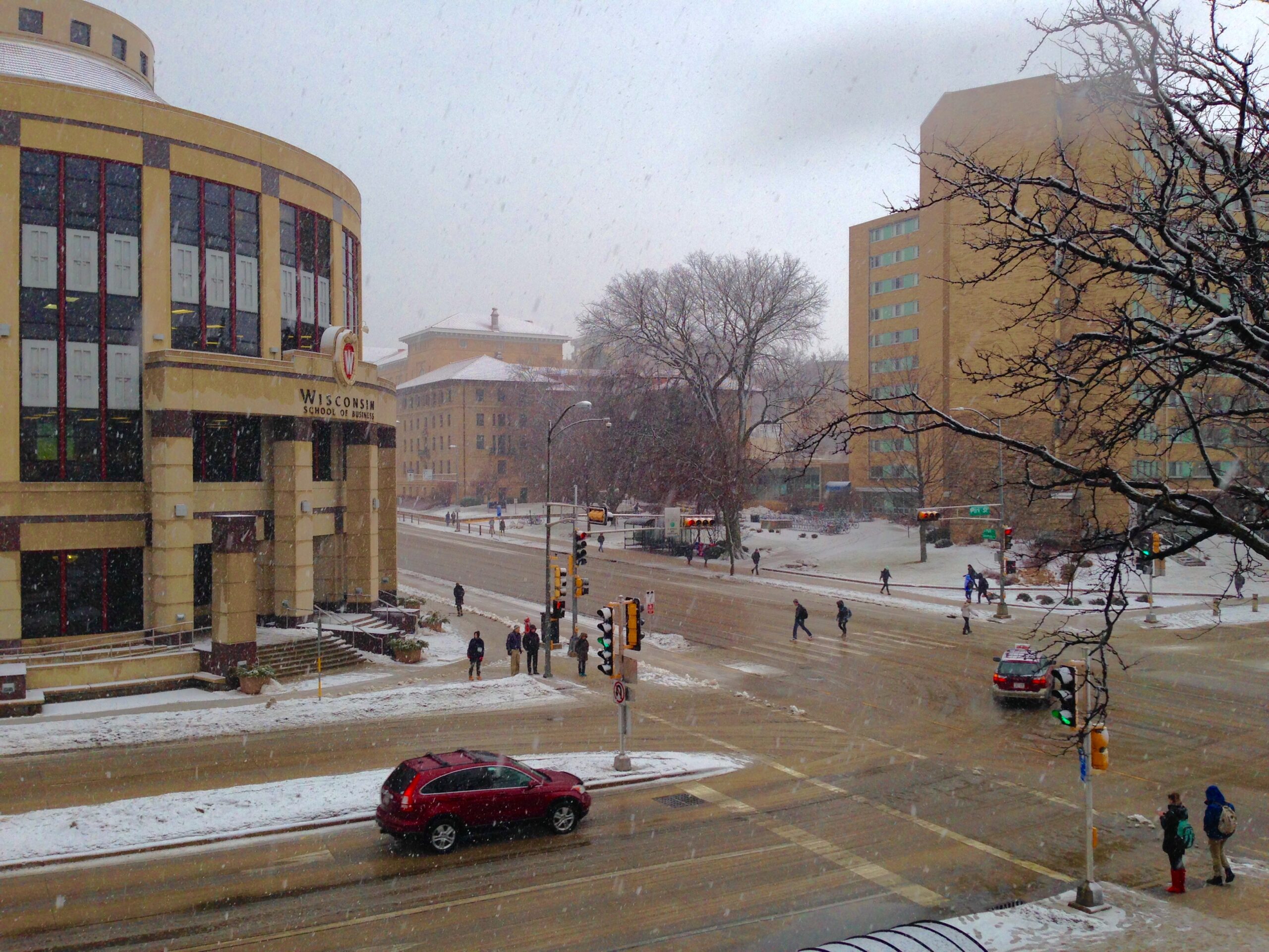
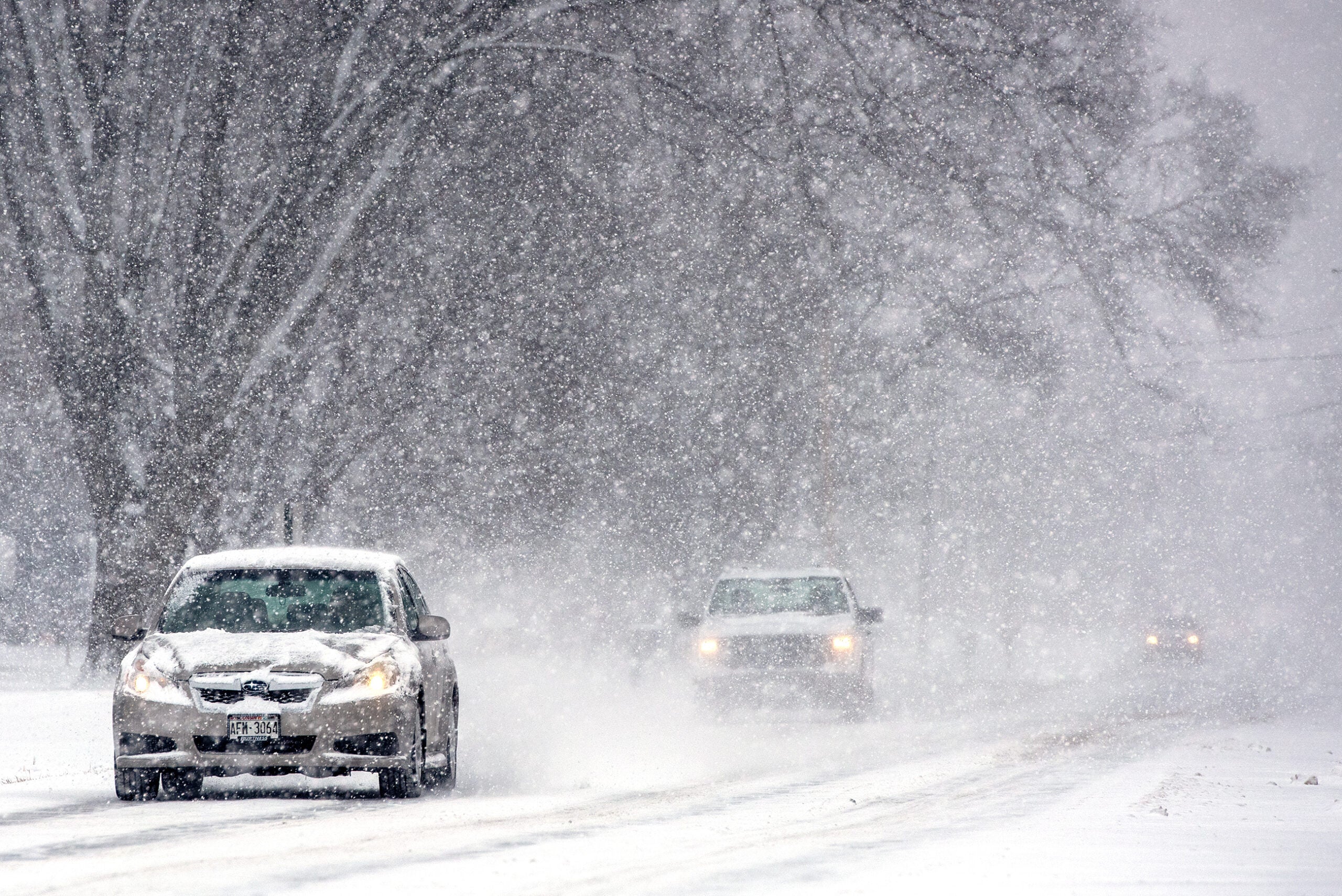
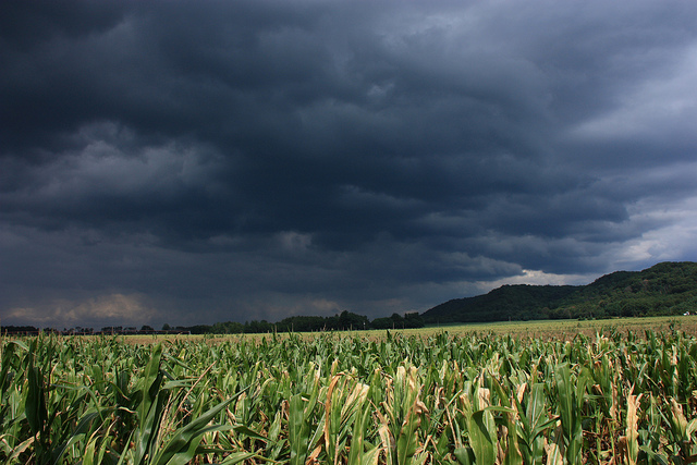
A winter storm warning is in effect for portions of southern Wisconsin, including Dane, Sauk and Iowa counties, for this afternoon and evening.
Unlike the storm over the weekend, this latest system will largely miss the northern half of the state.
The fast moving system could drop from 5 to 7 inches of snow in the Madison area, and 2 to 5 inches in the Milwaukee area and other parts of southern Wisconsin.
News with a little more humanity
WPR’s “Wisconsin Today” newsletter keeps you connected to the state you love without feeling overwhelmed. No paywall. No agenda. No corporate filter.
Dave Caulfield, a meteorologist with WISC-TV in Madison, said the storm has already caused problems in Iowa.
“It’s going to pack a huge punch for some of us,” Caulfield said. “We’ve gotten reports earlier in Iowa this morning of about 3 and a half to 4 inches of snow falling in just a couple of hours.”
Caulfield said the evening commute in Madison would be treacherous.
“One to 2 inch snowfall rates per hour are possible in some spots, and also poor visibility with the intense snow and also a wind out of the northeast at about 10 to 20 miles per hour,” he said. “That combination can be really challenging for folks on the road.”
Here is an updated video recording about the moderate to heavy snow into tonight: https://t.co/ABtppbOaXz pic.twitter.com/tpImqH7J4u
— NWS Milwaukee (@NWSMKX) April 18, 2018
Caufield said there is good news. The weather pattern appears to be changing, and he said he’s hopeful but not certain that this is the last gasp for winter.
“It does look like warmer temperatures and more kind of seasonal weather is on the way, but you never can count Mother Nature out for very long in Wisconsin, can you?” he said.
Quiet weather conditions expected starting on Thursday and continuing through the weekend. #wiwx pic.twitter.com/ElyGV8ZqqM
— NWS Green Bay (@NWSGreenBay) April 18, 2018
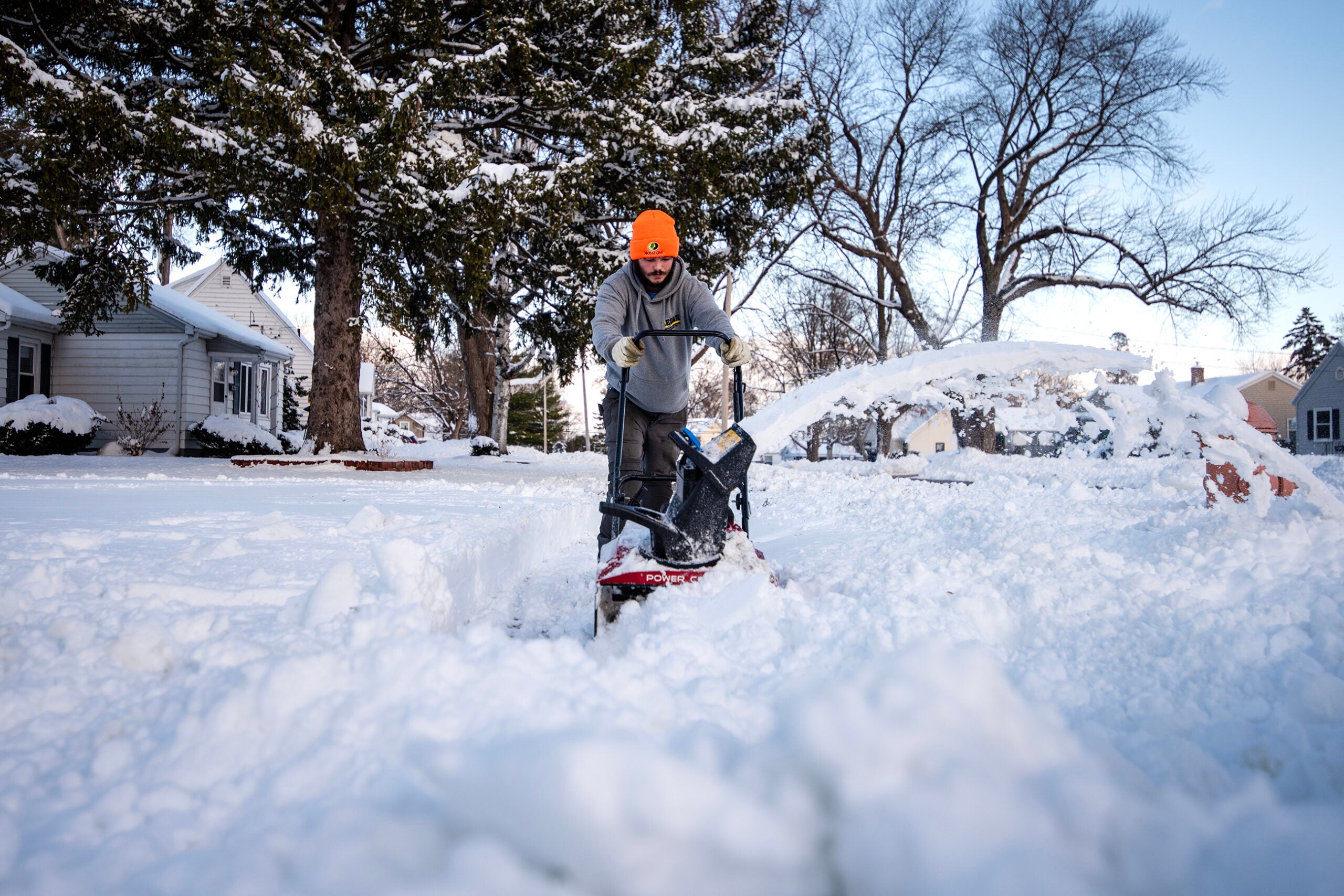
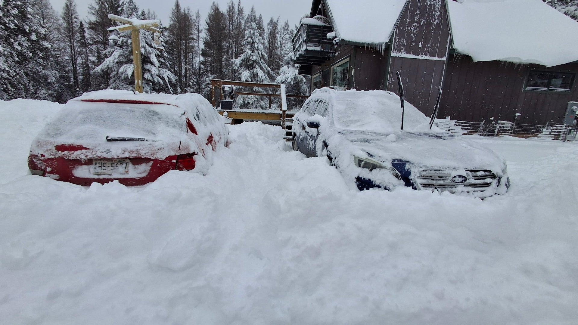
The southern track of the latest storm is good news for the northern and central parts of the state, portions of which saw as much as 30 inches of snow over the weekend.
Wisconsin Public Radio, © Copyright 2026, Board of Regents of the University of Wisconsin System and Wisconsin Educational Communications Board.
