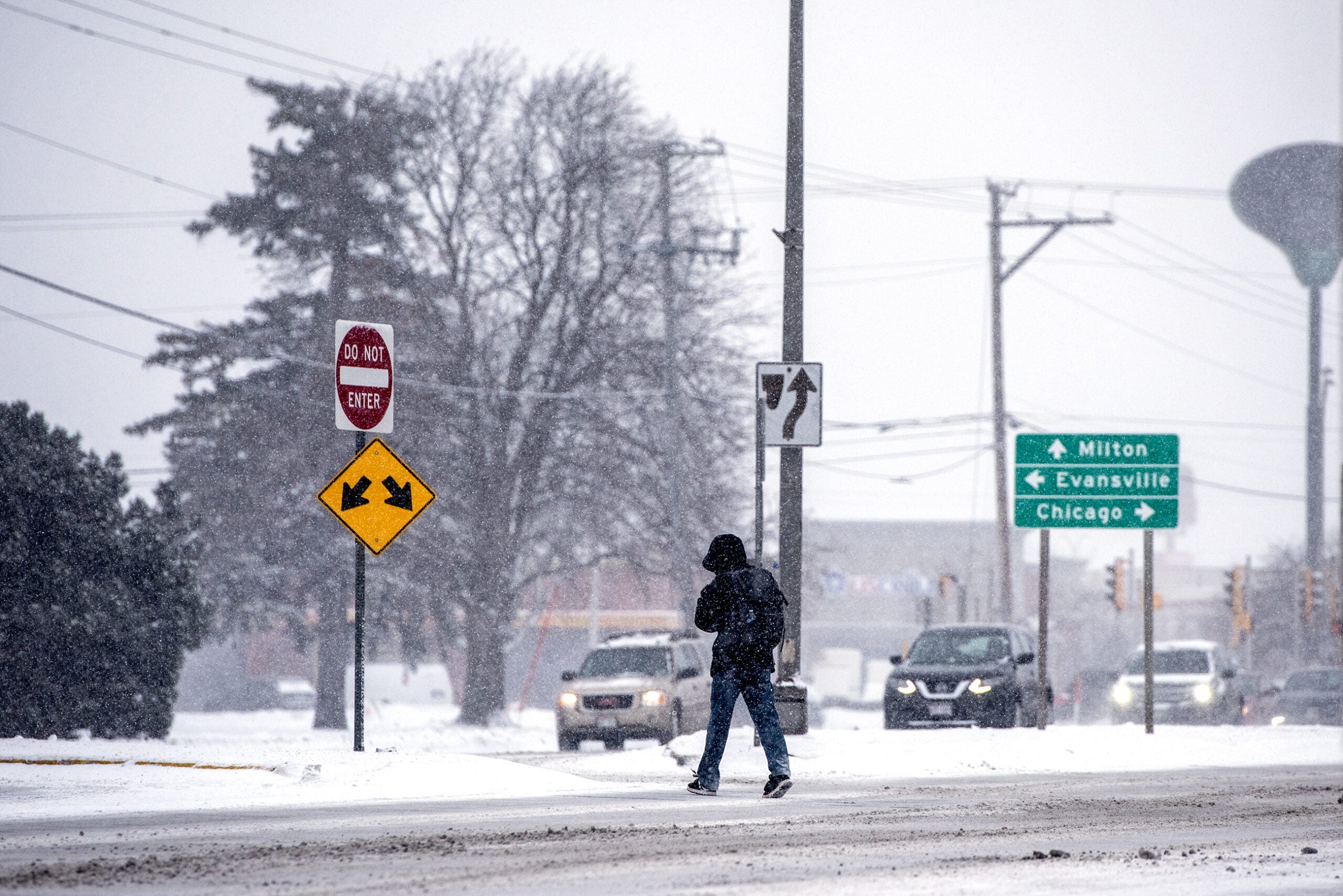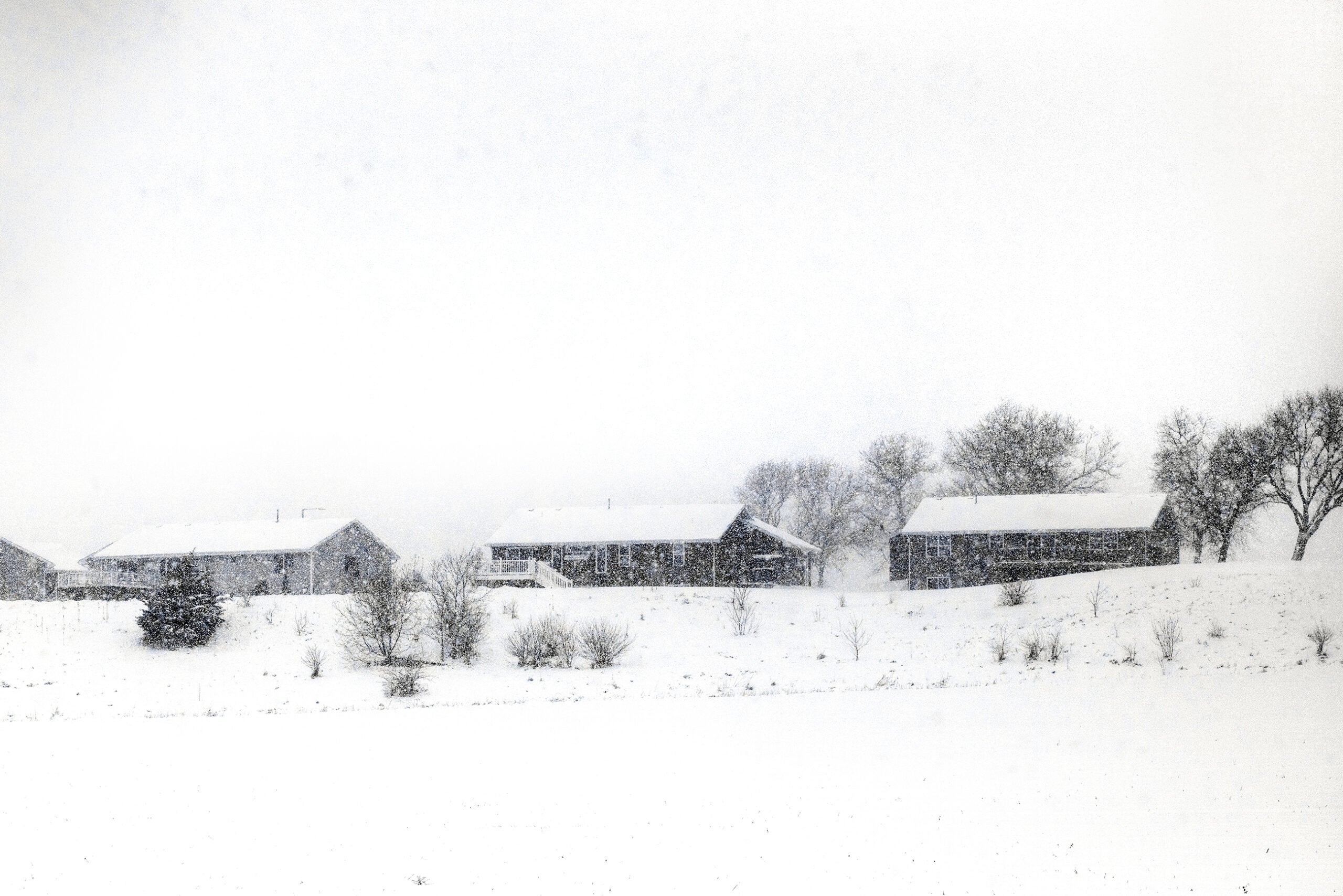
Some areas of Wisconsin could see up to 20 inches of snow as meteorologists expect a winter storm to sweep through the state beginning Tuesday and lasting through Thursday.
“This is not an instance where we can delineate northwest Wisconsin from central Wisconsin. This is a very large, widespread system that will affect all of Wisconsin between Tuesday afternoon and Thursday evening,” said Marcia Cronce, a meteorologist at the National Weather Service in Milwaukee-Sullivan.
A messy variety of precipitation is expected beginning Tuesday night and continuing into Thursday. There may be a break Wednesday morning. Keep up with the forecast! #swiwx pic.twitter.com/6itsE1rSlN
— NWS Milwaukee (@NWSMilwaukee) February 19, 2023
News with a little more humanity
WPR’s “Wisconsin Today” newsletter keeps you connected to the state you love without feeling overwhelmed. No paywall. No agenda. No corporate filter.
Snow will spread into west-central Wisconsin and drop fairly moderate amounts Tuesday night into Wednesday morning, Cronce said, with central Wisconsin seeing the heaviest snow Wednesday night.
“When we add up all of the snowfall from the Tuesday afternoon through Thursday afternoon event, some areas in west-central, north-central Wisconsin, they’re going to see 12 to 20 inches of snow,” she said. Some areas could see snow topping 20 inches, Cronce added.
Southern Wisconsin can expect mixed, wintry precipitation starting Wednesday afternoon through the night, Cronce said.
The National Weather Service expects winter storm watches, warnings and advisories to be issued within the next day or two.
Rebecca Kruk, a National Weather Service meteorologist in Green Bay, said wind gusts in northern and central Wisconsin could reach 40 mph starting late Wednesday morning, and are expected to continue into the next morning. Wind gusts should begin to calm Thursday afternoon and evening.
“Due to the winds and the snow, we’re not anticipating there to be a large amount of power outages. It’s very possible that there could be some, but based on the wind gusts being up to about 40 miles per hour, any locations that are vulnerable to wind gusts around that speed may see some power outages,” Kruk said.
The second round of snow and gusty winds is forecast to arrive Wednesday night into Thursday night. Some of this snow may be heavy at times and may mix with some sleet over central/east-central WI. Travel will be hazardous. #wiwx pic.twitter.com/ch59MjmP2r
— NWS Green Bay (@NWSGreenBay) February 20, 2023
Kruk said there is potential for blowing and drifting snow Wednesday and into Thursday. Rural areas could see near-blizzard conditions, depending on the location of the wind gusts, she added.
“There can be travel concerns for reduced visibility, making it hard to see the car in front of you,” Kruk said, creating “very hazardous” road conditions.
She urged drivers to take precautions by making sure they have supplies in their vehicles in case they get stuck and to stay up-to-date on the latest forecasts.
Thursday night could also bring colder temperatures across much of the state.
“Those low temperatures are going to be quite cold in the single digits to the single digits below zero,” she said.
Windchills Friday morning will drop into the 10 to 20 below zero range for most of north-central and northeast Wisconsin.
Wisconsin Public Radio, © Copyright 2026, Board of Regents of the University of Wisconsin System and Wisconsin Educational Communications Board.