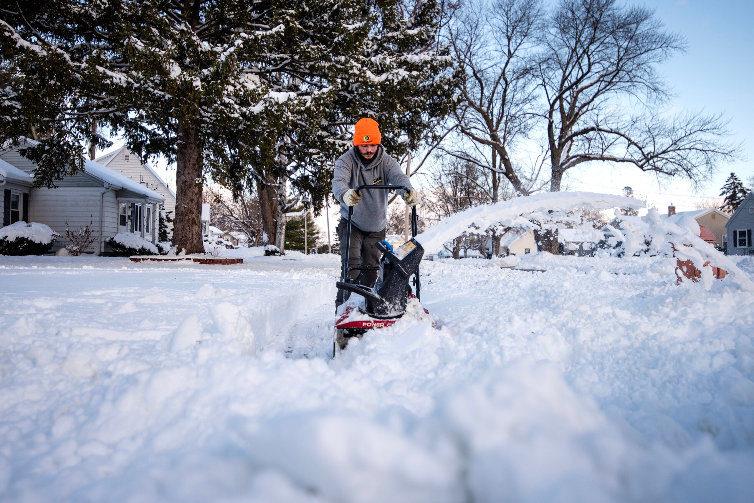
The northwestern region of Wisconsin is expected to get a wintry mix of freezing rain and sleet as early as Tuesday evening into Wednesday morning, according to the National Weather Service.
The weather conditions are expected to create difficult travel conditions and both Douglas and Bayfield counties are under a winter storm warning.
“Most of the snow is going to be super wet and heavy. And when combined with some gusty easterly winds, this could lead to some whiteout conditions, as well as power outages,” Woody Unruh, a meteorologist with the National Weather Service’s Duluth station, said in a webinar Tuesday.
News with a little more humanity
WPR’s “Wisconsin Today” newsletter keeps you connected to the state you love without feeling overwhelmed. No paywall. No agenda. No corporate filter.
Unruh said there is some concern regarding freezing rain leading to light ice accumulation in northwest Wisconsin. The weather service anticipates areas along the southern border of Burnette, Washburn, Sawyer and Price counties will see the highest amounts of ice through Thursday.
“Much of the ice amounts, especially for the Ashland area, we’re kind of looking at that 0.01 to maybe up to a 10th of an inch of ice,” he said. “And then in terms of dangerous driving conditions in northwest Wisconsin, probably one of the areas to definitely avoid travel, if possible, is going to be within the Bayfield Peninsula.”
A Winter Weather Advsisory has been issued for much of Central Wisconsin tonight for one to two tenths of an inch of ice, along with some snow and sleet. A Winter Storm Watch is in effect Wednesday through Wednesday night for all but East Central Wisconsin. #wiwx pic.twitter.com/BpB57Sj3Xe
— NWS Green Bay (@NWSGreenBay) December 13, 2022
Unruh said communities on the south shore of Lake Superior are likely to get 7 to 12 inches of snow between Tuesday evening and the end of the day Thursday.
Josh Sandstrom, another meteorologist at the weather service’s Duluth station, said a reprieve from the snow is expected midday Wednesday.
“We might see a little bit of a break in the action of Wednesday afternoon into the evening,” he said, adding that precipitation could taper off to light snow.
But more snow is expected Thursday in the north-central and northeastern part of Wisconsin. Heavy snowfall could hit areas like Wausau and Rhinelander, Sandstrom said, while Iron and Ashland counties could see between 3 and 6 inches of snow.

Wisconsin Public Radio, © Copyright 2026, Board of Regents of the University of Wisconsin System and Wisconsin Educational Communications Board.