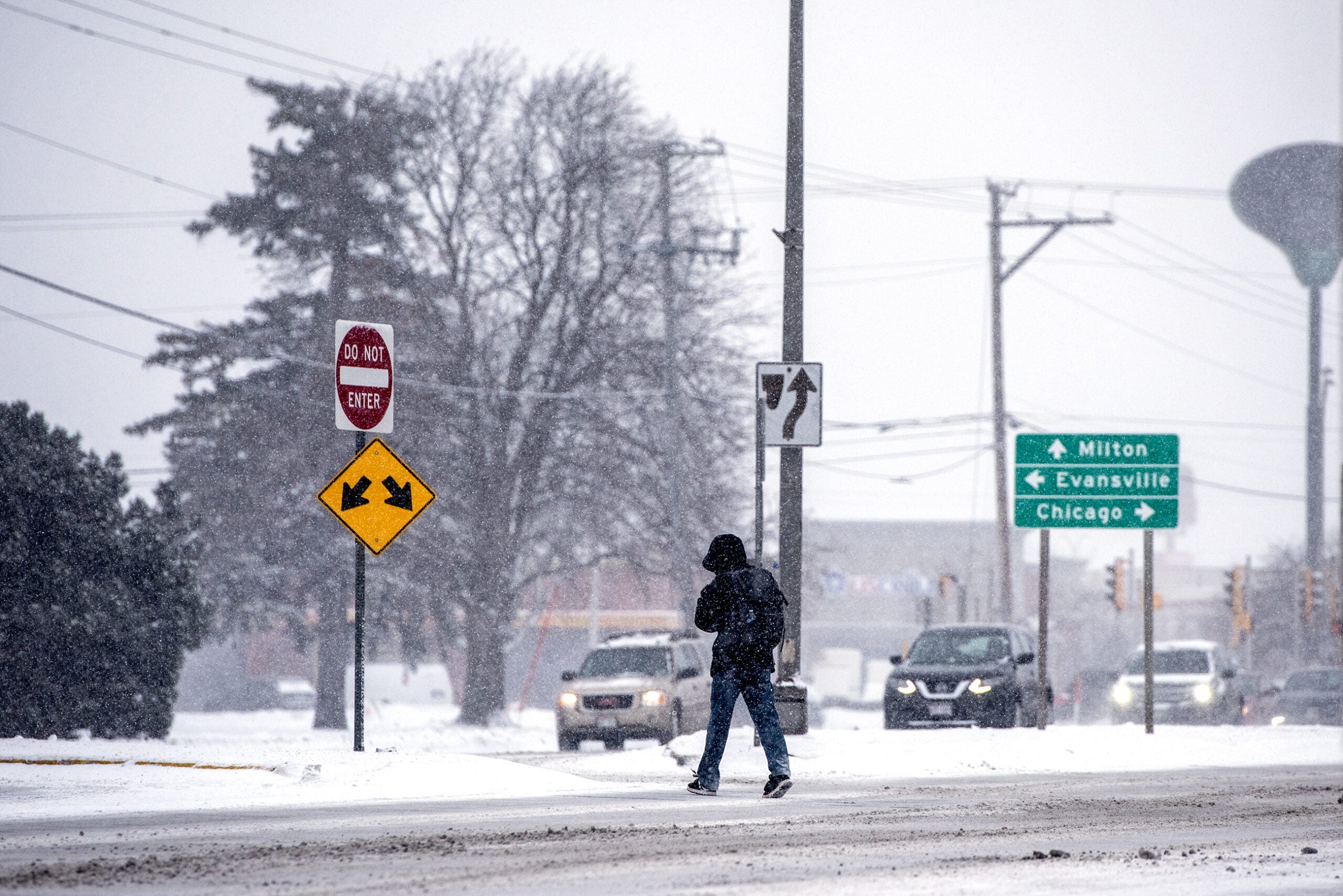
The winter storm system that’s been dropping heavy snow in the western U.S. is headed toward Wisconsin and the upper Midwest.
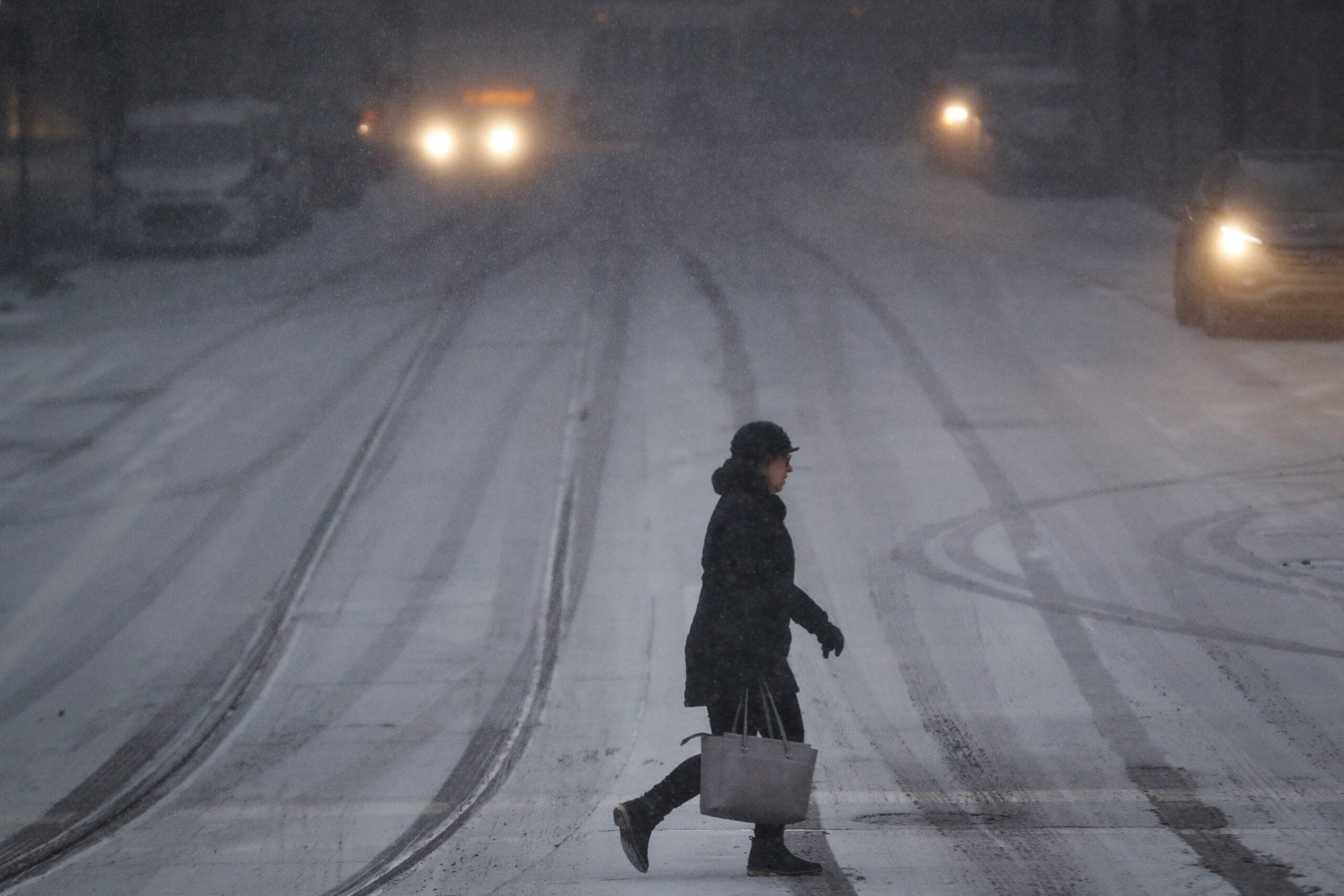
The latest forecasts expect snow Tuesday evening and through Wednesday morning, making for what forecasters have called “very hazardous” conditions for those traveling ahead of the Thanksgiving holiday.
Meteorologist Kevin Huyck at the National Weather Service office in Duluth said the heaviest snow is likely between midnight and 6 a.m. Wednesday.
News with a little more humanity
WPR’s “Wisconsin Today” newsletter keeps you connected to the state you love without feeling overwhelmed. No paywall. No agenda. No corporate filter.
But, he said, “we’ll still see a little bit of heavy precipitation in northwest Wisconsin until about 9 a.m. Then things start to really ramp down as that storm system pulls out.”
Winter storm warnings will remain in effect through Wednesday afternoon for the region.
Huyck said northwestern and west central Wisconsin should see 6 to 12 inches of snow in all, while some areas along the south shore of Lake Superior could see higher snow totals.
High wind gusts will make blowing snow a concern even after the snow wraps up.
Southern and eastern areas will see mostly rain during the storm, though there’s a statewide chance of snow, rain and wintry mix through the end of the week.
Wisconsin Public Radio, © Copyright 2026, Board of Regents of the University of Wisconsin System and Wisconsin Educational Communications Board.