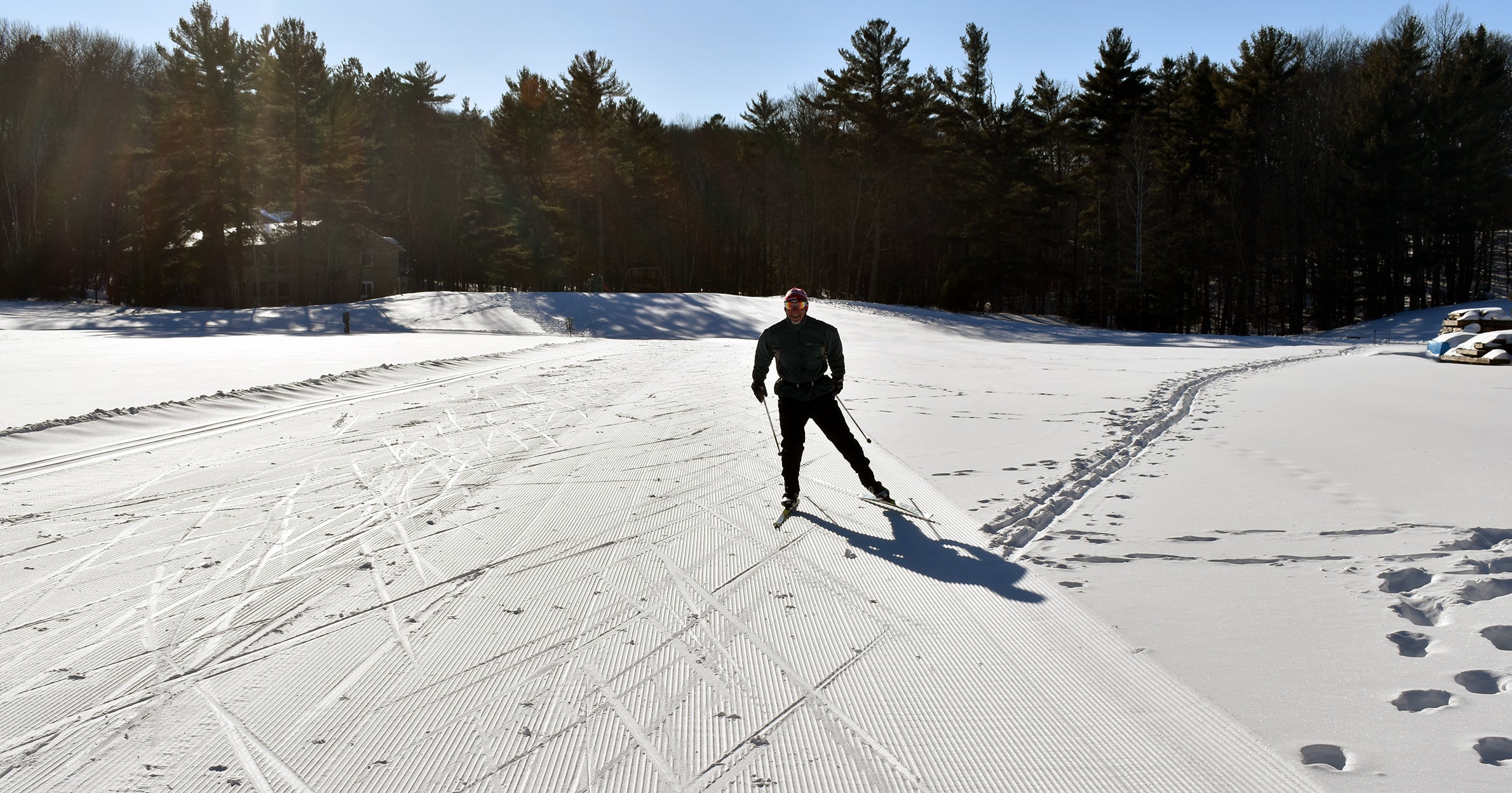
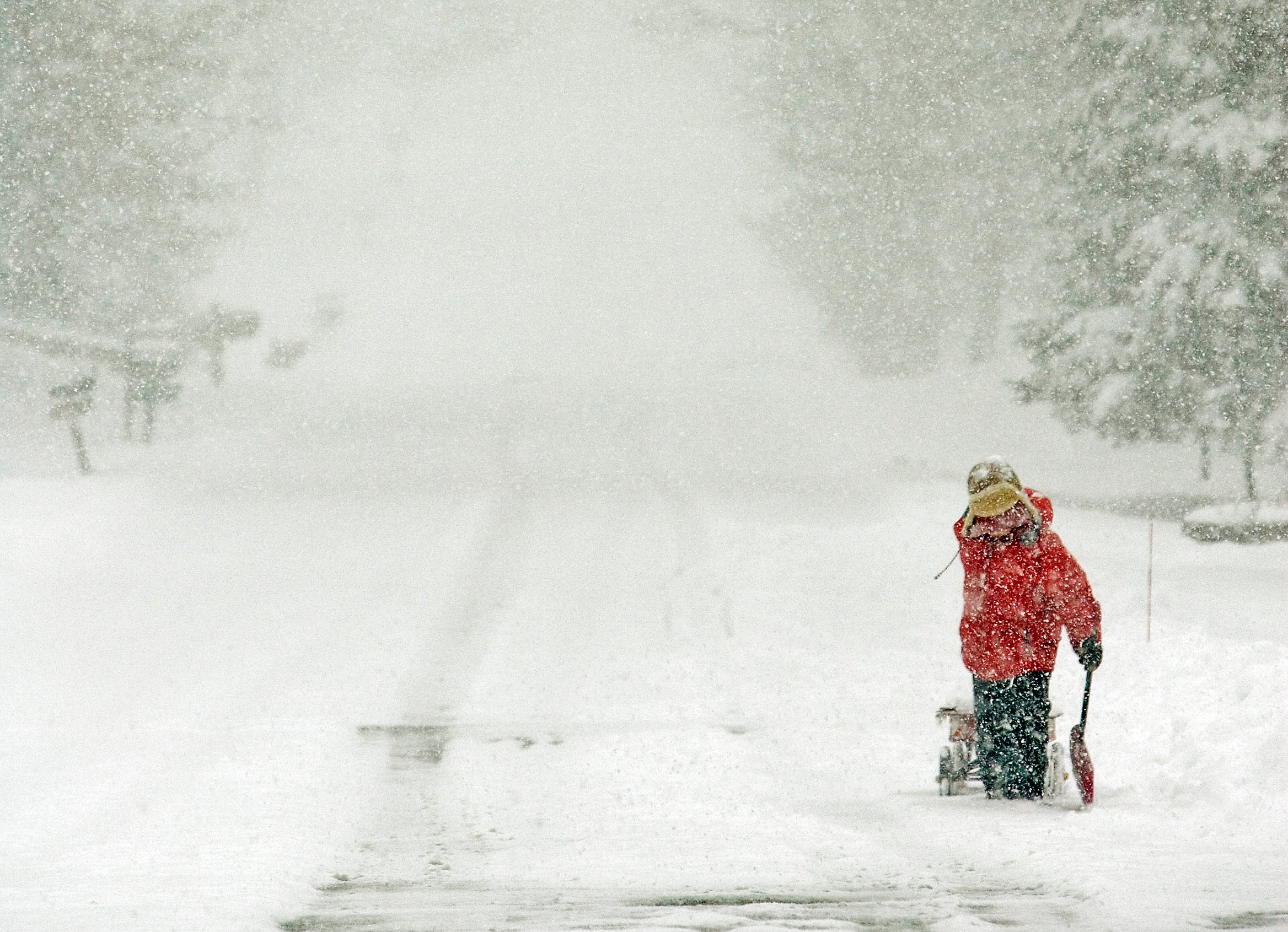
A wintry blast of weather it taking aim at the Upper Midwest, with forecasters warning that the storm could bring up to a foot of snow to some states.
The National Weather Service has issued winter-weather warnings and advisories across parts of Iowa, Illinois, Wisconsin, Michigan and Indiana. The snow is expected to start falling late Thursday afternoon and evening, continuing through Friday as the storm moves east.
As of Thursday morning, the storm is expected to hit the southern half of Wisconsin late-afternoon or early-evening Thursday, according to the National Weather Service in Sullivan. Expected snowfall totals range from 1.6 inches in Fond Du Lac and Sheboygan, up to around 8 inches along the Wisconsin-Illinois border.
News with a little more humanity
WPR’s “Wisconsin Today” newsletter keeps you connected to the state you love without feeling overwhelmed. No paywall. No agenda. No corporate filter.
925am – Winter Storm on the way. Here’s the latest forecast snow amounts, timing, and winter weather headlines. #swiwx pic.twitter.com/iyTjkcW592
— NWS Milwaukee (@NWSMKX) February 8, 2018
Snow accumulation totals are expected from 1 to 3 inches in Nebraska, up to 8 inches in Iowa, and up to a foot in Illinois, Indiana and Michigan.
Snowfall is forecast to be heavy at times in some areas, with rates of an inch per hour possible. In Wisconsin, the heaviest snow is expected between midnight and 6 a.m. Friday.
The National Weather Service warns that “travel will be difficult to impossible at times.”

Wisconsin Public Radio, © Copyright 2025, Board of Regents of the University of Wisconsin System and Wisconsin Educational Communications Board.