
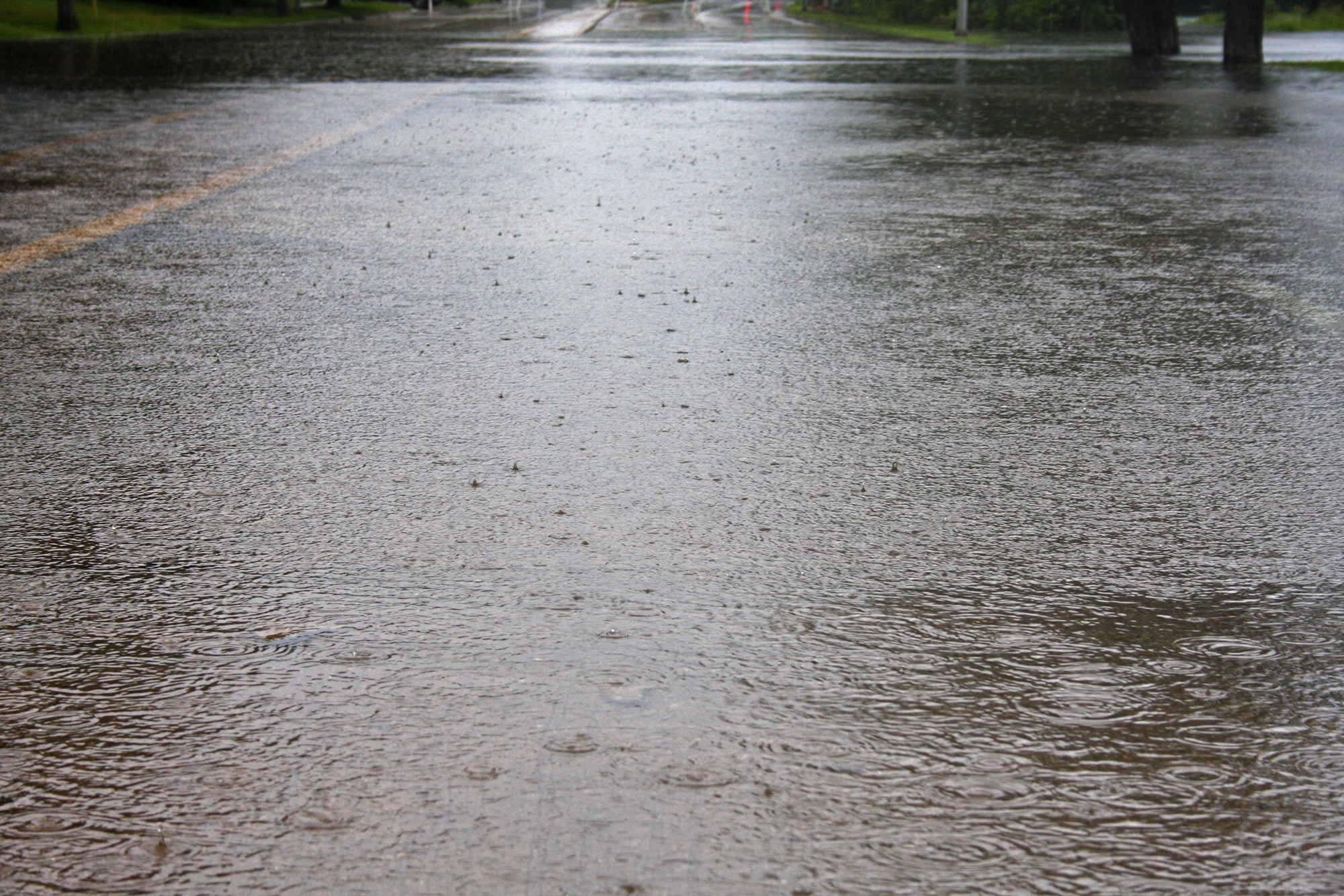
The National Weather Service has issued a flash flood watch for south central and southeastern Wisconsin from Friday into Saturday morning.
The watch has been issued for Friday beginning at 7 p.m. and goes into Saturday until 1 p.m.
Steve Davis is a meteorologist with the National Weather Service in Milwaukee. He said they’re expecting some areas to see about a half inch to 1.5 inches of rain, with the heaviest rainfall potentially falling south of Madison.
Stay informed on the latest news
Sign up for WPR’s email newsletter.
“It’s a little too early to commit on that right now,” Davis said. “But we’re thinking maybe that rainfall axis tonight may shift just a little bit south of the Madison area.”
Showers and storms will bring a threat of heavy rain and flash flooding tonight. #wiwx pic.twitter.com/sDsDqT0AyR
— NWS Milwaukee (@NWSMKX) October 5, 2018
Large amounts of rainfall in southern Wisconsin over the last month makes the area particularly susceptible to flash flooding, Davis said.
“Our soils are completely saturated. So if we do get any heavy rainfall that falls across southern Wisconsin tonight, most of that is just going to be runoff very quickly,” Davis said.
Madison city officials are reminding residents to check their sandbags and protect their property in case of another round of street flooding, according to a release.
More rain is expected Sunday and into next week.
“We have this next round coming in for Sunday. Probably continuing into Monday,” Davis said. “We will then potentially see things quiet down for Tuesday into Wednesday, but then we’ll have a cold front come through, it looks like Wednesday afternoon, Wednesday night. And that could be another round of some heavier rain.”
Madison city officials are monitoring lake levels after water rose on lakes Mendota and Monona by about 5 inches from rain that fell last Sunday and Monday, according to a release.

Wisconsin Public Radio, © Copyright 2024, Board of Regents of the University of Wisconsin System and Wisconsin Educational Communications Board.