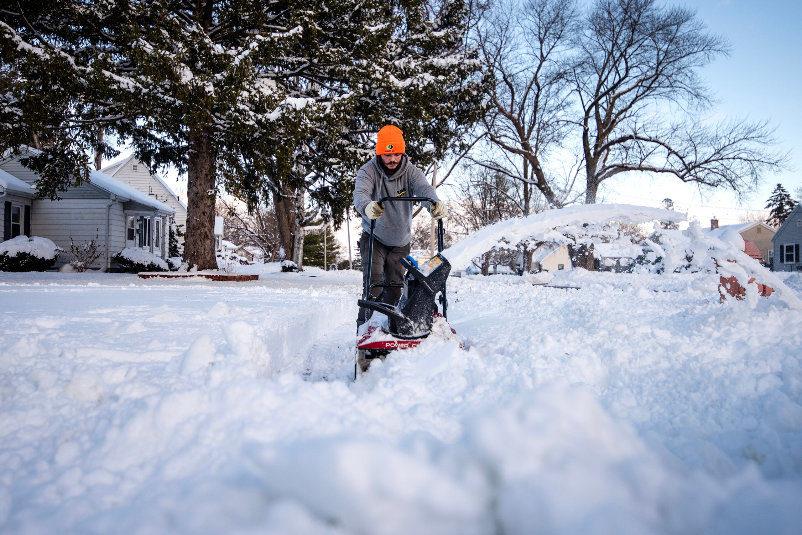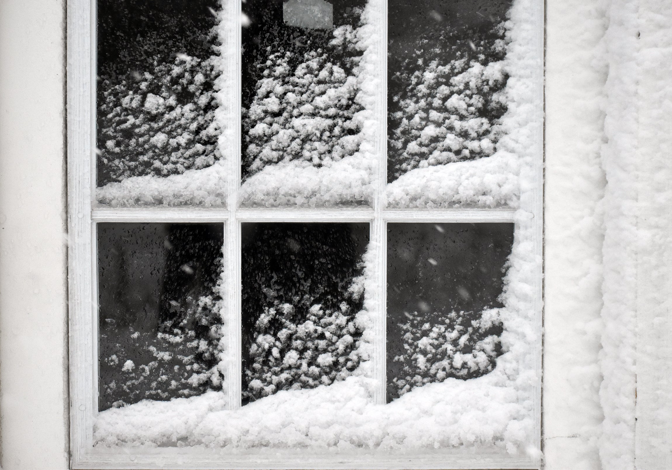
Wisconsin and surrounding states are starting the new year with a winter storm, which will bring freezing rain to the southern half of the state and heavy snow to the north.
Meteorologist Michael Kurz from the National Weather Service office in La Crosse said parts of southern and central Wisconsin saw freezing rain overnight and into Tuesday morning.
“Anytime you have any bit of ice, even just a light glaze of ice, it can definitely cause travel difficulties, very slippery conditions,” Kurz said. “You’ve really got to exercise caution, even just walking. Stepping outside, if it’s icy it can really take you unawares if you’re not prepared.”
News with a little more humanity
WPR’s “Wisconsin Today” newsletter keeps you connected to the state you love without feeling overwhelmed. No paywall. No agenda. No corporate filter.
WMTV in Madison reported 25 school closings or delayed starts on Tuesday morning in southwestern, central and southern Wisconsin.
Kurz said conditions have improved as warm air moves in from the south, causing the wintry mix to turn into rain for most areas on Tuesday.
Ketzel Levens, National Weather Service meteorologist in Duluth, Minnesota, said some of the freezing rain is expected to reach northern Wisconsin this afternoon, especially in Price County and southern parts of Sawyer County. But the storm will mainly bring snow across the area, especially in the northwestern corner of the state.
“The majority of snowfall will be front loaded, such that it’s coming down at its heaviest and most intense rates early on in the storm,” Levens said on Tuesday. “So right when it begins to fall this afternoon and this evening, we are expected to see those higher snowfall rates.”
She said areas of northern Wisconsin could see a half inch to 1 inch of snow per hour this evening. A Weather Service forecast on Tuesday morning shows Ashland and Bayfield counties could see 5 to 10 inches of snow with lake-enhanced snowfall possible.
A winter storm is still on track to bring moderate to heavy snow and some freezing rain to the Northland starting today. We upgraded Ashland and Bayfield counties to a Winter Storm Warning. 1/6. #mnwx #wiwx pic.twitter.com/HRnwqlLSBQ
— NWS Duluth (@NWSduluth) January 3, 2023
While the snow should lighten up by Wednesday morning, Levens said it’s expected to linger throughout the day and into Thursday morning.
The storm will also remain over the southern half of the state, bringing the chance for a wintry mix throughout the day on Wednesday.
“It probably won’t be quite as heavy, but still potential for some areas for snow, light freezing rain, some sleet,” Kurz said. “This is a slow moving system that’s going to take a while to get out of.”
Levens said it’s unusual to see a storm of this magnitude coming so late in the season.
“Once we get into January, sometimes these really powerful low-pressure systems aren’t quite as common. But it’s certainly still possible to get a nice, powerful winter storm to move through the area, especially when we’re not that far removed from December just yet,” she said.
The storm this week comes less than two weeks after a major winter storm brought snow and negative temperatures for much of the state right before the Christmas holiday weekend.
Forecast snowfall through 6 am Thursday will remain the highest over far northern WI. Less than inch is expected over the Fox Valley and Lakeshore areas.#wiwx pic.twitter.com/bd8FhRpEnh
— NWS Green Bay (@NWSGreenBay) January 3, 2023
Wisconsin Public Radio, © Copyright 2026, Board of Regents of the University of Wisconsin System and Wisconsin Educational Communications Board.