A guide for which Wisconsin wetlands might be the best to preserve or restore has been published by the Wisconsin Department of Natural Resources and a conservation group.
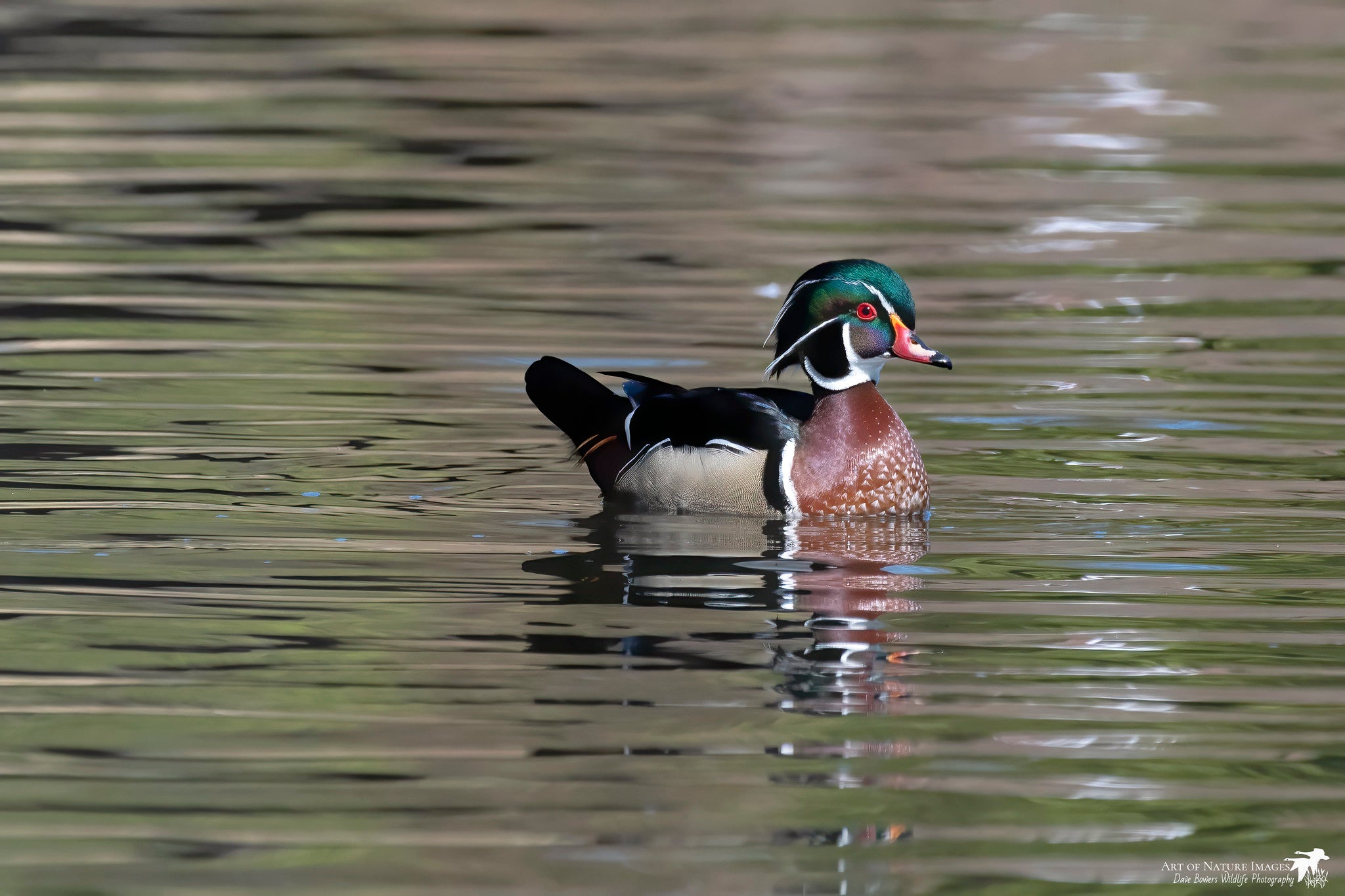
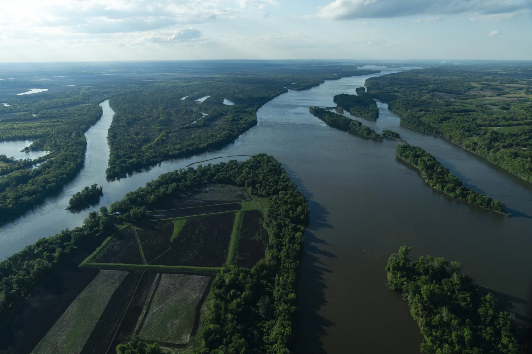
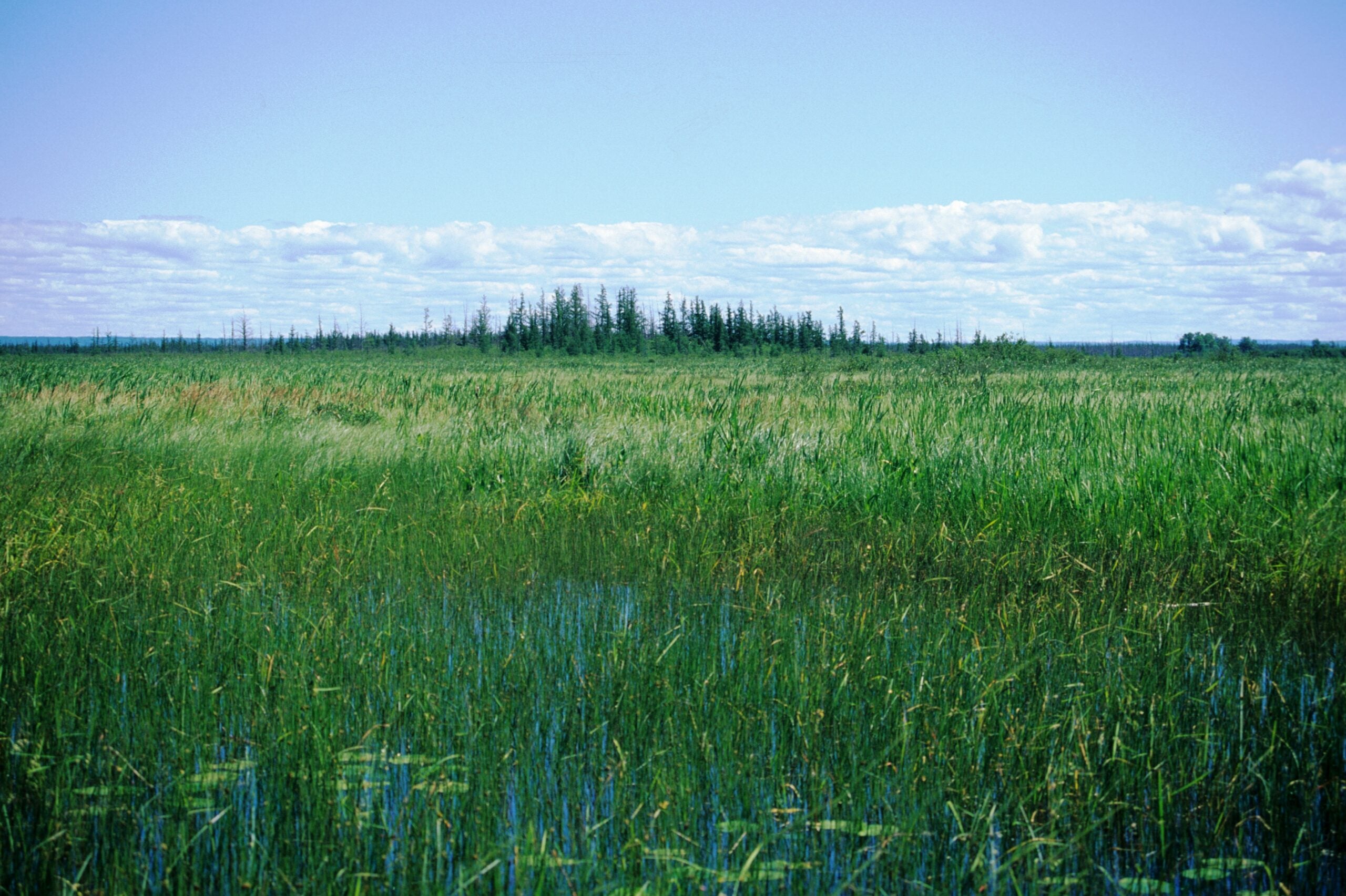
The free guide, called Wetlands By Design, is an online mapping tool that analyzes land and water features. It identifies wetlands most likely to reduce flooding, purify water, serve as wildlife habitat and provide other beneficial services.
Nick Miller, of the Nature Conservancy, worked on the project.
News with a little more humanity
WPR’s “Wisconsin Today” newsletter keeps you connected to the state you love without feeling overwhelmed. No paywall. No agenda. No corporate filter.
“Wetland loss does continue,” he said “And so, we see this as an opportunity, this online decision support tool, to reverse that loss, to bring more wetlands onto the landscape. And most importantly, figure out how to protect more wetlands, so we don’t lose the service they’re already providing for free.”
Miller said it’s best to zero in on the wetlands projects that will do the most good.
“The goal has been to optimize. I mean, we only have so many dollars for conservation. And so, we need to focus them in the areas that will have the biggest effect and have the biggest change,” Miller said.
Miller said buying land to protect or expand wetlands can be very expensive. He said the state has already lost about half of the 10 million acres of wetlands estimated to have been here 200 years ago.
Wisconsin Public Radio, © Copyright 2025, Board of Regents of the University of Wisconsin System and Wisconsin Educational Communications Board.