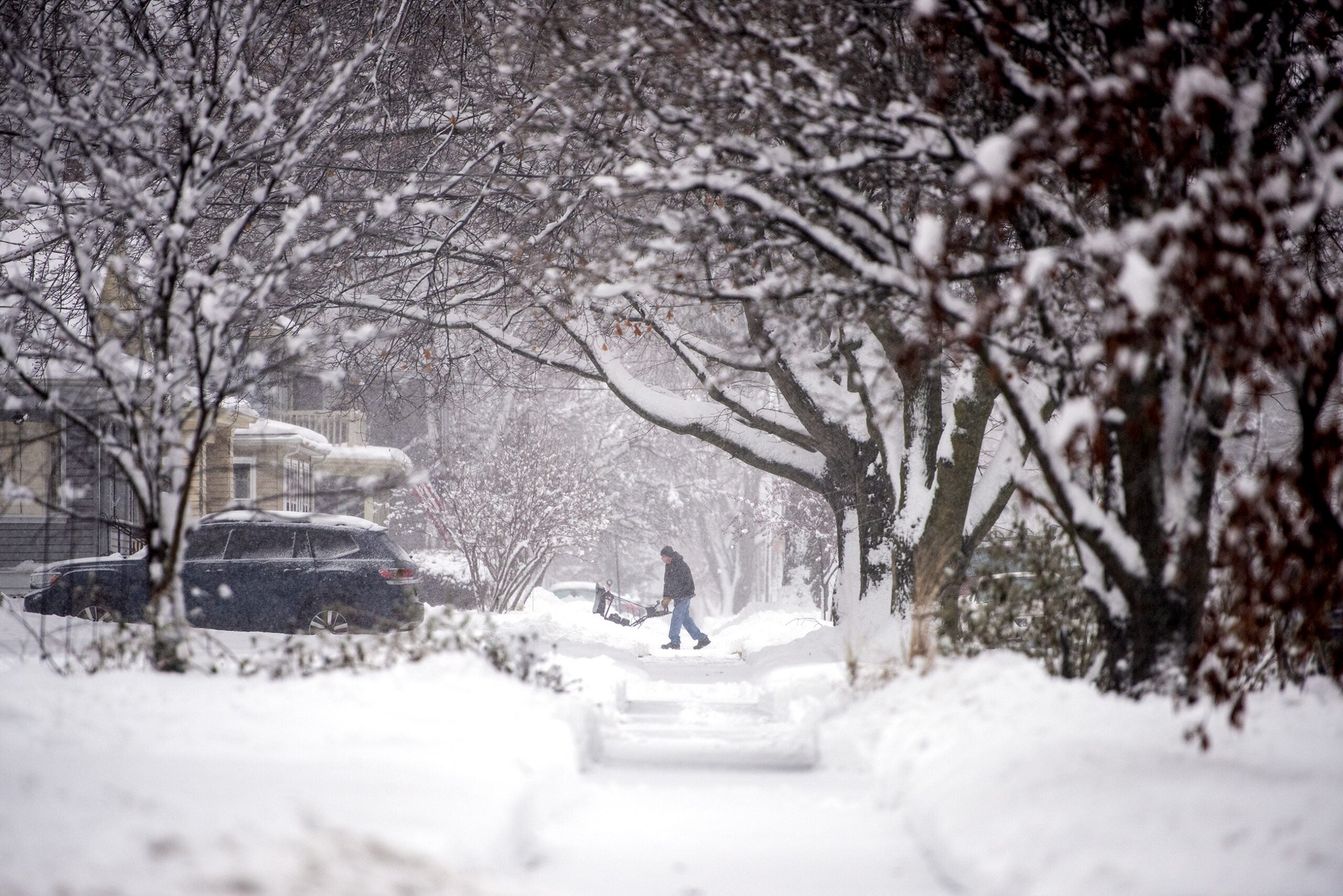
Another winter storm is making its way to Wisconsin.
The National Weather Service has issued a winter storm warning for much of the state beginning Monday night through Tuesday night.
Southwestern and south central Wisconsin are likely to see the highest snow totals, though nearly every part of the state should get at least some accumulation.
Stay informed on the latest news
Sign up for WPR’s email newsletter.
High wind gusts could also bring blowing or drifting snow.
Meteorologist Todd Shea of the National Weather Service in La Crosse said the timing of the storm could cause major problems for commuters Tuesday.
“The heaviest snow looks to fall overnight and early Tuesday morning,” Shea said. “So, when you think about that commute time, it’s going to be a rough go, I think.”
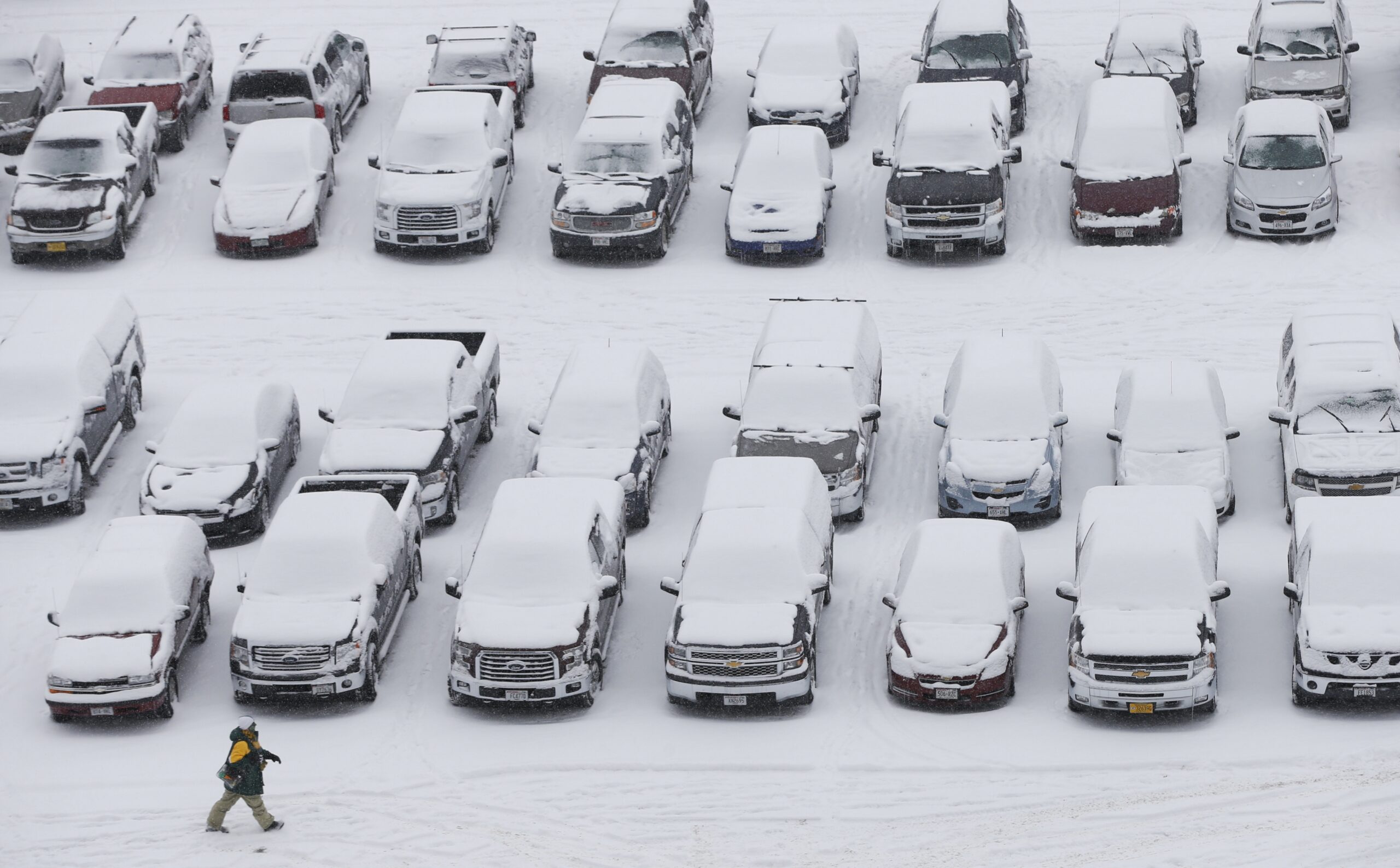
The storm comes after last week’s treacherous conditions, in which falling temperatures followed snow and mixed precipitation, leading to icy roads in many areas.
Snow on Sunday afternoon caused a 40-vehicle pileup on Interstate 94 in Eau Claire County, shutting down the road in both directions for about five hours. The Wisconsin State Patrol said seven people were hurt when seven semis and 33 cars piled up near Osseo.
More active winter weather expected tonight and Tuesday with widespread winter storm warnings in effect. Travel will most certainly be impacted again. Plan accordingly. pic.twitter.com/dGbnnL3TrL
— NWS La Crosse (@NWSLaCrosse) February 11, 2019
Wisconsin Public Radio, @ Copyright 2024, Board of Regents of the University of Wisconsin System and Wisconsin Educational Communications Board. The Associated Press contributed to this report. All rights reserved. This material may not be published, broadcast, rewritten or redistributed.