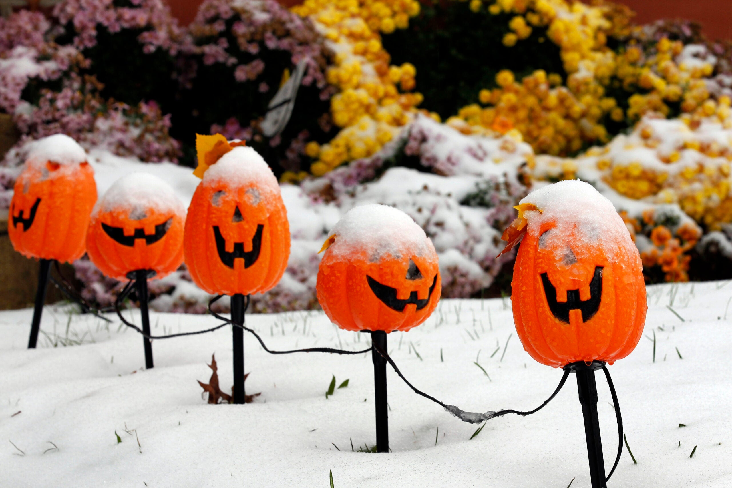
Wisconsinites may be waking up to snow on Halloween. But despite the early appearance of winter weather, the state is expected to have a more mild season overall, according to the National Weather Service.
Portions of central and southern Wisconsin are expected to see some snow Monday night into Tuesday morning, and it could linger through the early afternoon in eastern parts of the state.
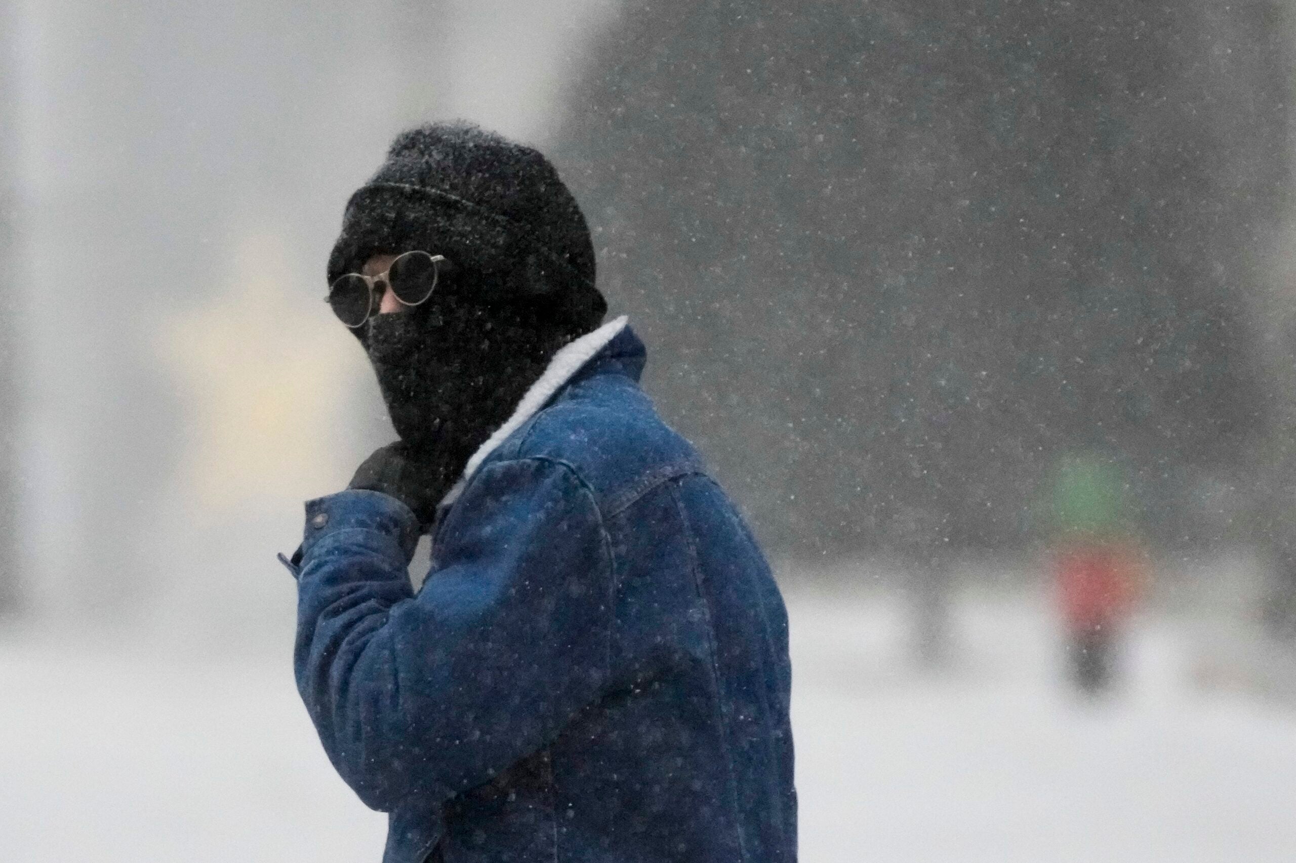
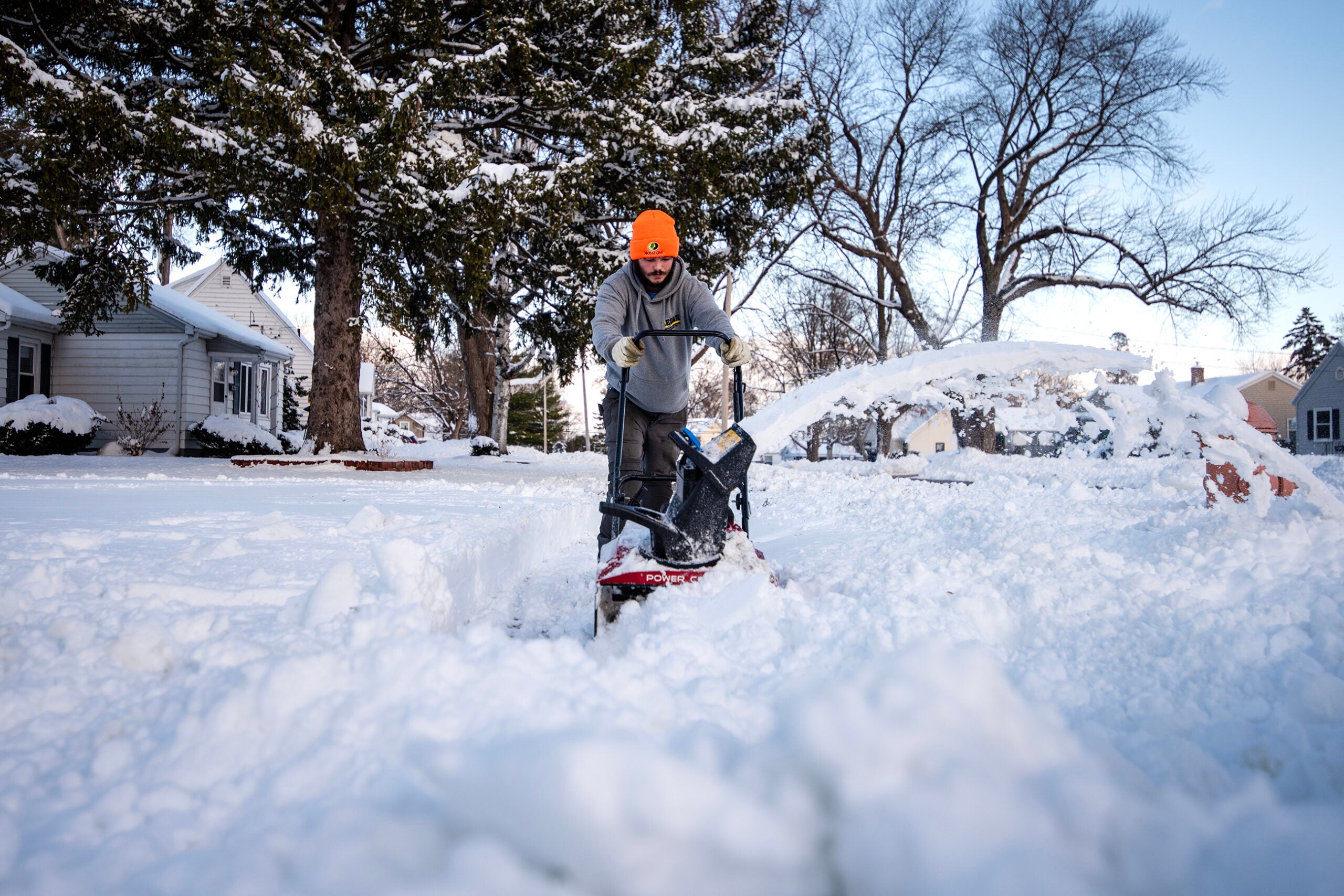
Meteorologists expect southern Wisconsin to have its first accumulating snowfall of the season, with the highest rates Tuesday morning. Central to southeast Wisconsin are expected to be in for 1 to 2 inches of accumulation, and cold and breezy conditions are expected for Halloween with wind chills in the 20s.
News with a little more humanity
WPR’s “Wisconsin Today” newsletter keeps you connected to the state you love without feeling overwhelmed. No paywall. No agenda. No corporate filter.
Denny VanCleve, a meteorologist with the National Weather Service’s Milwaukee/Sullivan office, said the average first day of snow in Madison is Oct. 27 and in Milwaukee is Nov. 2. On average, Madison doesn’t see a full inch of snow accumulation until Nov. 27 and Milwaukee doesn’t see an inch until Dec. 2, Van Cleve said.
“In terms of seeing snowflakes at all, that’s pretty much right on time,” VanCleve said of tomorrow’s potential accumulation. “It starts to get into rare territory when you’re talking about getting at least an inch of snow.”
Meanwhile, there’s a 50 to 70 percent chance for 1 inch or more of snow in central Wisconsin, but the likelihood in the Fox Valley is between 20 and 40 percent.
Parts of northern Wisconsin are expected to see an intense band of snow develop over Lake Superior tonight into tomorrow. Snowfall of 2 to 5 inches is expected from northern Bayfield County east into Iron County. A Winter Weather Advisory is in effect from Bayfield to Iron Counties.
Marcia Cronce, a meteorologist for the National Weather Service’s Milwaukee/Sullivan office, said tomorrow’s snowfall could affect morning commutes, depending on how fast the snow is coming down and when it stops.
“If it’s snowing at the time, the roads have the potential of being slippery,” she said. “If it hasn’t snowed in a while, then the roads are probably going to be OK at that moment.”
Tuesday night should be fairly clear for trick or treating, Cronce said. The northern half of the state is expected to have lighter winds and colder temperatures, while the southern half is expected to have breezy northwest winds and “brisk” temperatures, she said.
“Bundle up when trick or treating tomorrow evening and with any Halloween festivities,” Cronce said.
Some portions of northern Wisconsin, near Ashland, have already seen light snow accumulation, but not a lot yet, she said.
The Dakotas and northwest Minnesota did see some significant snowfall ahead of a cold front that swept through the upper Midwest over the last couple of days, Cronce said.
“Other than that, we aren’t seeing a lot of accumulated snow,” she said.
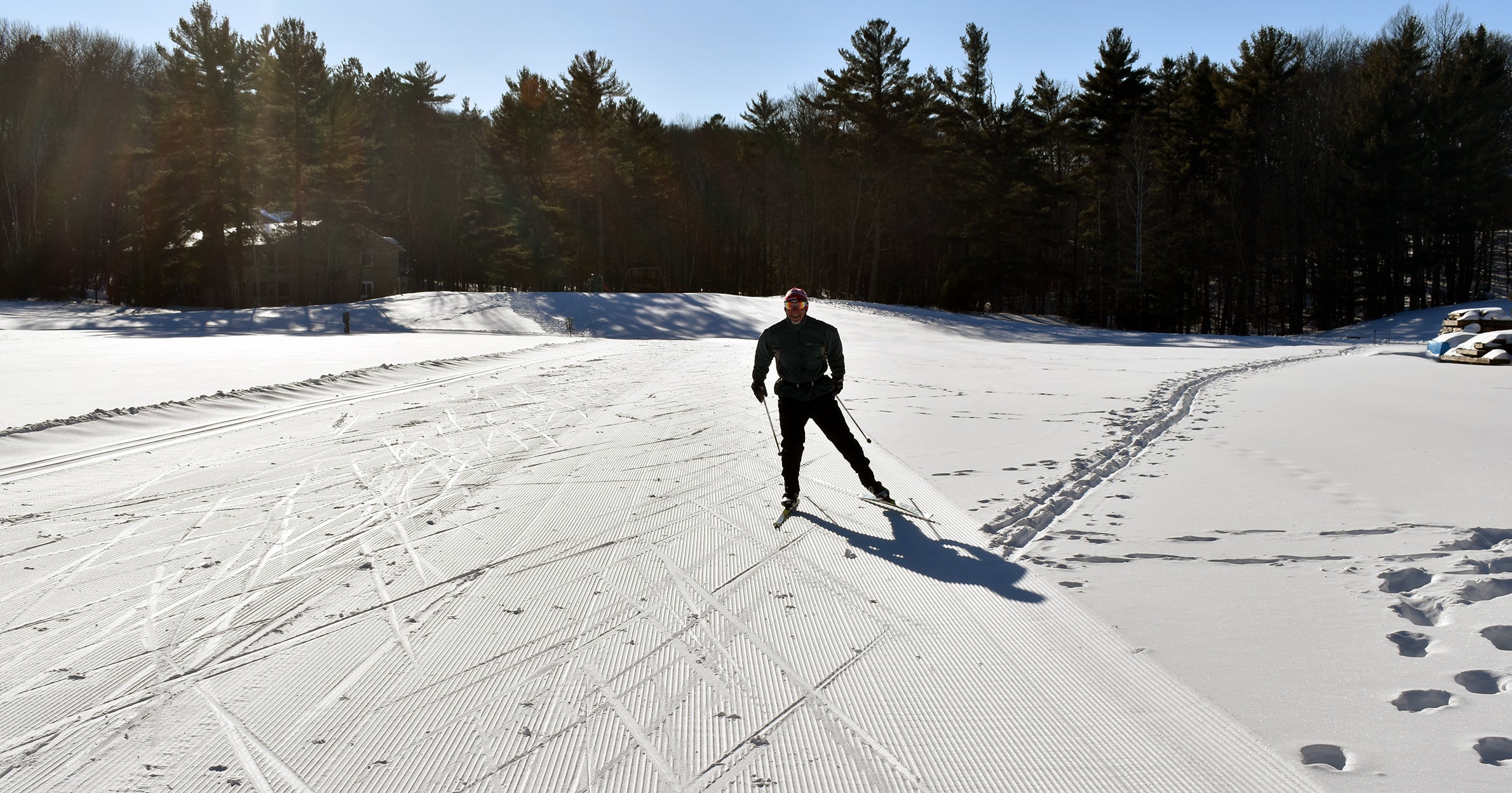
Wisconsin is expected to experience an El Niño climate pattern this winter, which means slightly warmer temperatures and potentially drier than normal, Cronce said.
She said typical Wisconsin winters see high temperatures in the 20s or 30s, but this year some of those highs could be in the 40s.
“We’re talking just a little bit above normal, not waves above normal,” Cronce said “We’re not talking persistent temperatures in the 50s or something like that.”

Wisconsin Public Radio, © Copyright 2026, Board of Regents of the University of Wisconsin System and Wisconsin Educational Communications Board.