El Niño arriving earlier than expected may contribute to warmer and drier conditions during Wisconsin’s next winter, according to a La Crosse-based forecaster with the National Weather Service.
Jeff Boyne recently joined Wisconsin Public Radio’s “The Morning Show” to discuss how the El Niño climate pattern could affect Wisconsin this summer, fall and winter.
The following was edited for brevity and clarity.
News with a little more humanity
WPR’s “Wisconsin Today” newsletter keeps you connected to the state you love without feeling overwhelmed. No paywall. No agenda. No corporate filter.
Kate Archer Kent: Can you explain some of the ranges of changes to global weather and then closer to home here in Wisconsin, how it might affect our daily lives?
Jeff Boyne: You have warmer-than-normal temperatures over the eastern and central part of the Pacific (Ocean that) ends up resulting in changes in the jet stream. So, you end up with more thunderstorm activity occurring in those central and eastern parts of the equatorial Pacific. On the western part of the Pacific, you end up seeing high pressure building up there. So, it has sinking air out there.
This suggests the jet stream eventually impacts around the globe as far as where the abnormally warm weather and normally cold weather tends to occur, and also where places get wetter and other places get drier during El Niño.
So, for example, from across the wintertime pretty much going from like November to April, the southern U.S. becomes wetter than normal. It also becomes cooler than normal in the southeast U.S. From the Ohio Valley up into the Great Lakes, you see more of a drier signal in the precipitation from December through March.
KAK: Drier, less precipitation in those winter months. Is that right?
JB: Yes. Typically, you see more impacts during the winter seasons (of) El Niño. You can occasionally see some start to develop in summer, and they’ll continue in the fall. For example, here in Wisconsin, we tend to see cooler-than-normal conditions develop in the mid-to-late parts of summer, and then it will actually continue right on into fall.
In the southern parts of Wisconsin, there is actually a drying signal for summer. But as we get into the latter parts of summer and into fall, that signal vanishes and disappears out of there.
Now as we head into winter, we tend to see warmer-than-normal temperatures for the state of Wisconsin. For example, since 1982 and 1983, we’ve had like 13 El Niños. Eight of them have been in the warmest third, four of them have been near normal and only one has been in the coldest third.
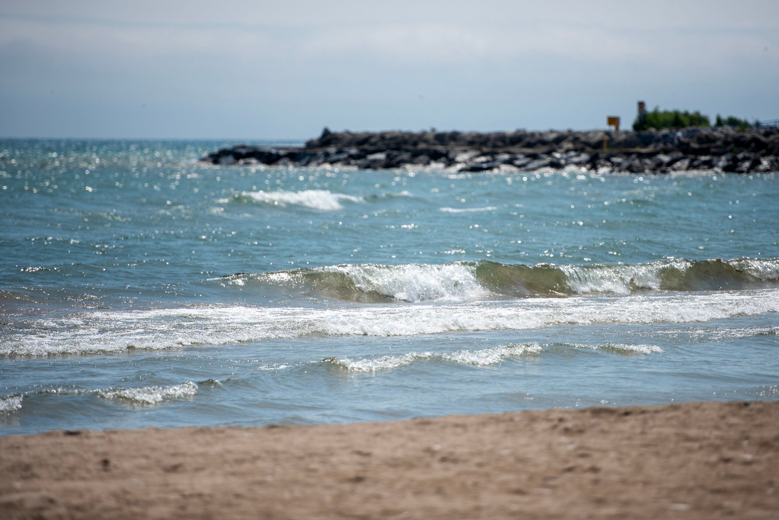
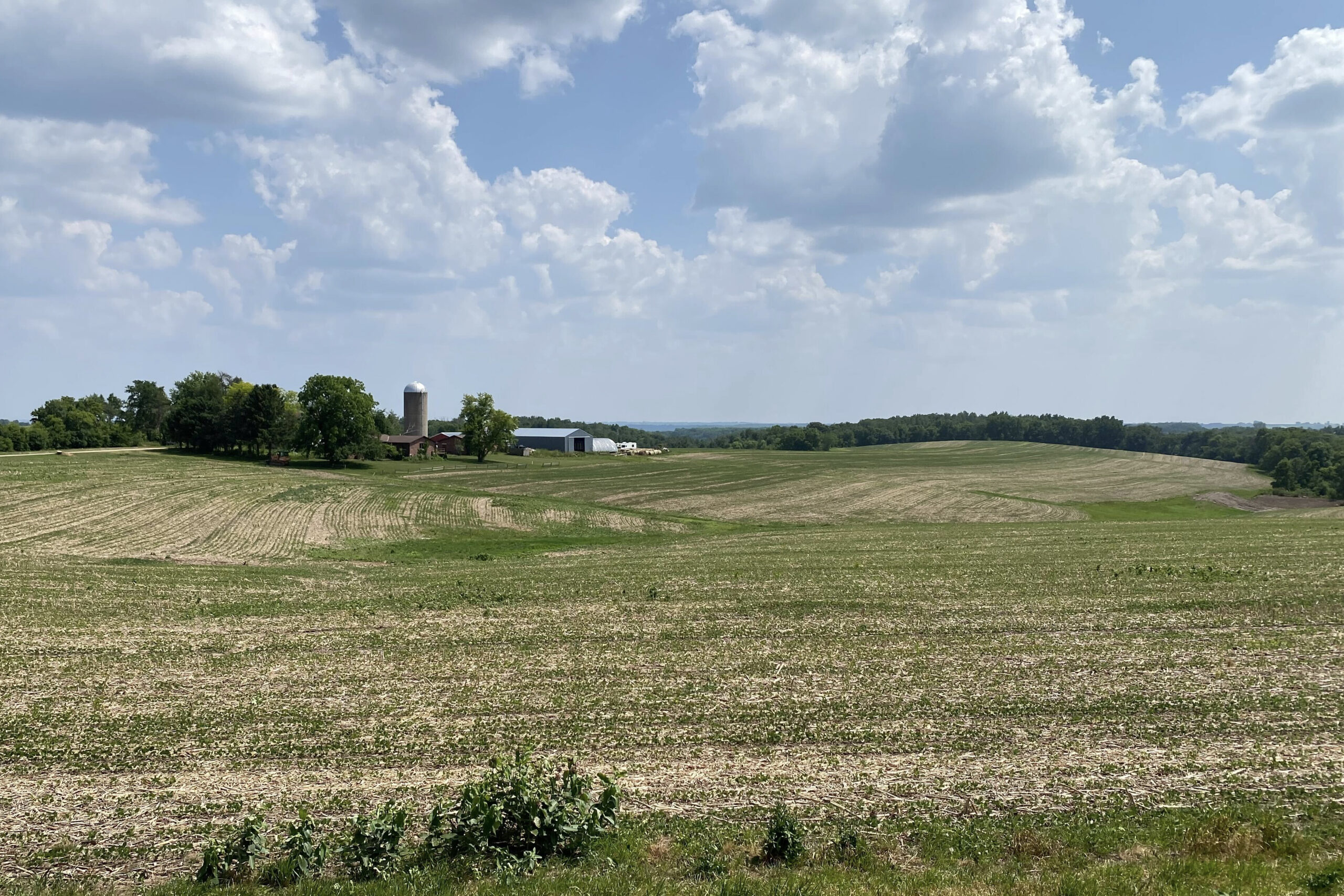
KAK: Is drought in Wisconsin connected to El Niño?
JB: Typically, when you look at it, (it’s) only across the southern third of the state that there is any significant signal that El Niño might be a little impact as far as drought goes. That seems to be the only spot across the state. Elsewhere across the state, when you look at it, it’s highly variable, as far as what precipitation you get during an El Niño.
KAK: What are your insights for assessing climate change and what window of time to look at?
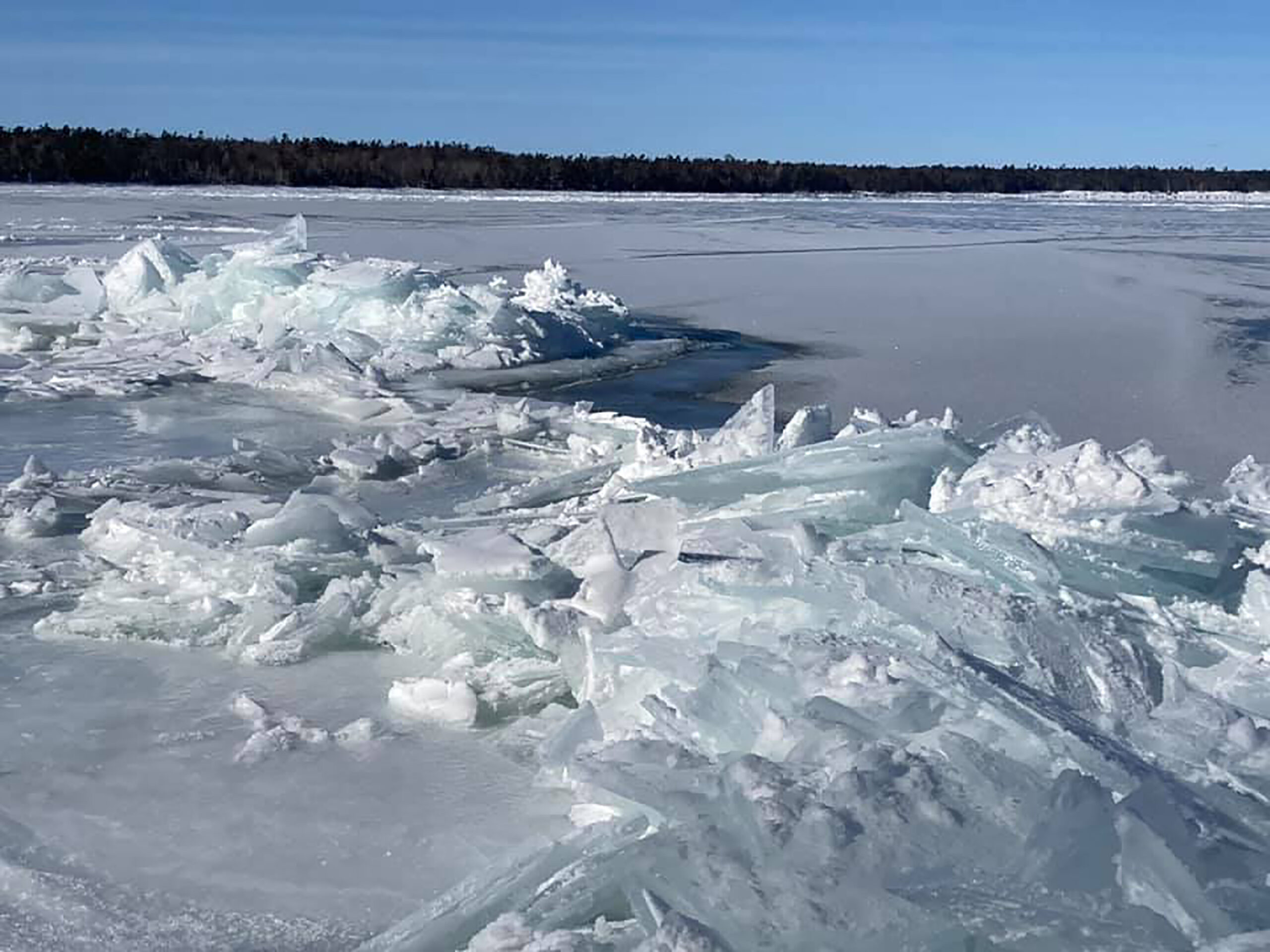
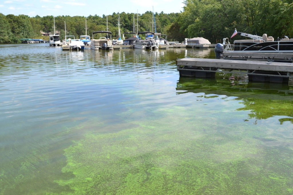
JB: We’re seeing these quicker transitions. For example, we just came out of the wettest winter for Wisconsin. Those records go back to 1895. … Then all of a sudden, we went into a very dry period. Looking at the growing season for Madison, we’re looking at one of the top five driest growing seasons right now to date in the Madison area. So, you can see these rapid transitions taking place.
Looking back since the late 1990s, seven out of the 10 warmest years in Wisconsin have occurred. So, we’ve had a very warm time period here. We’ve been seeing this warming taking place in the last three or four decades.

Wisconsin Public Radio, © Copyright 2026, Board of Regents of the University of Wisconsin System and Wisconsin Educational Communications Board.