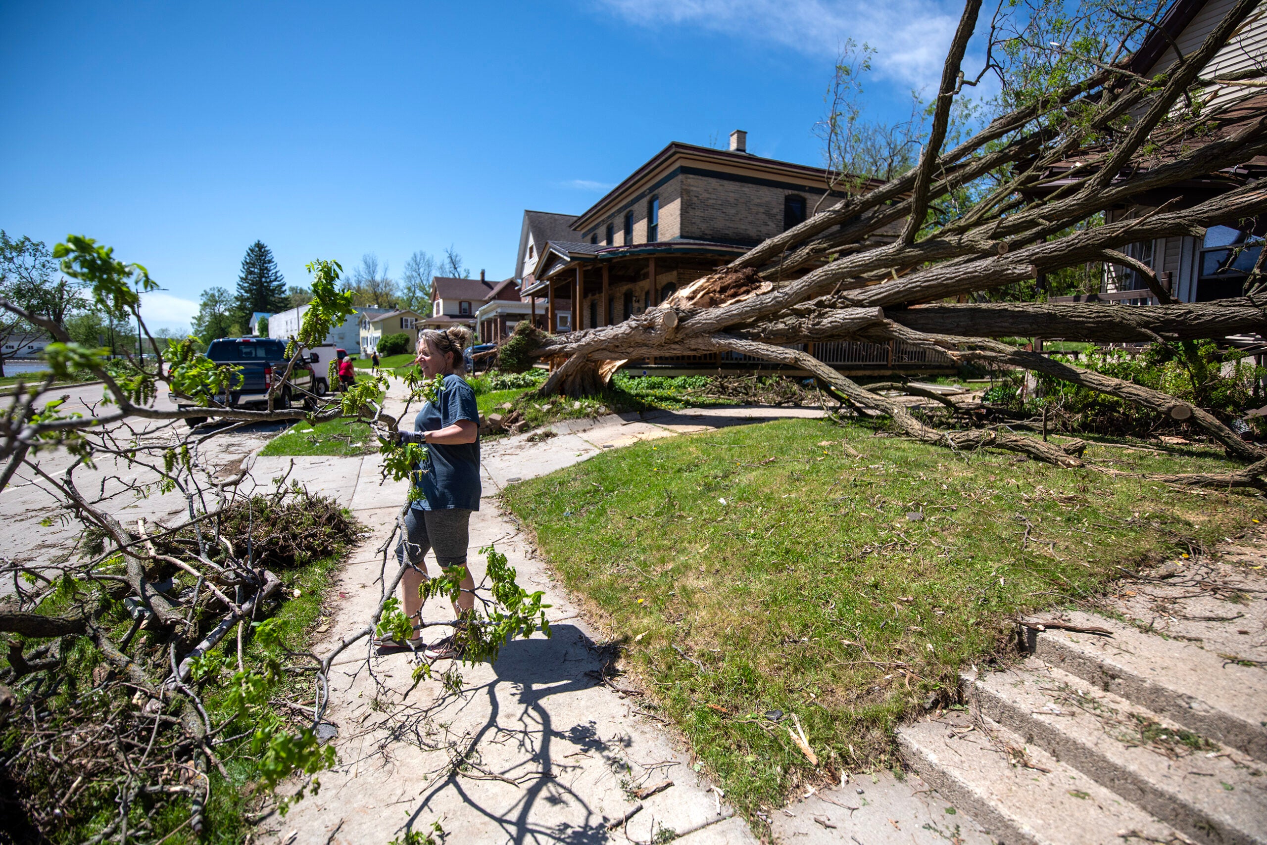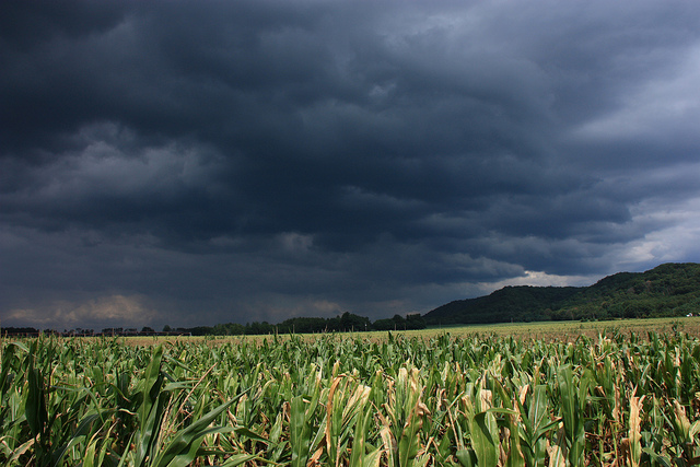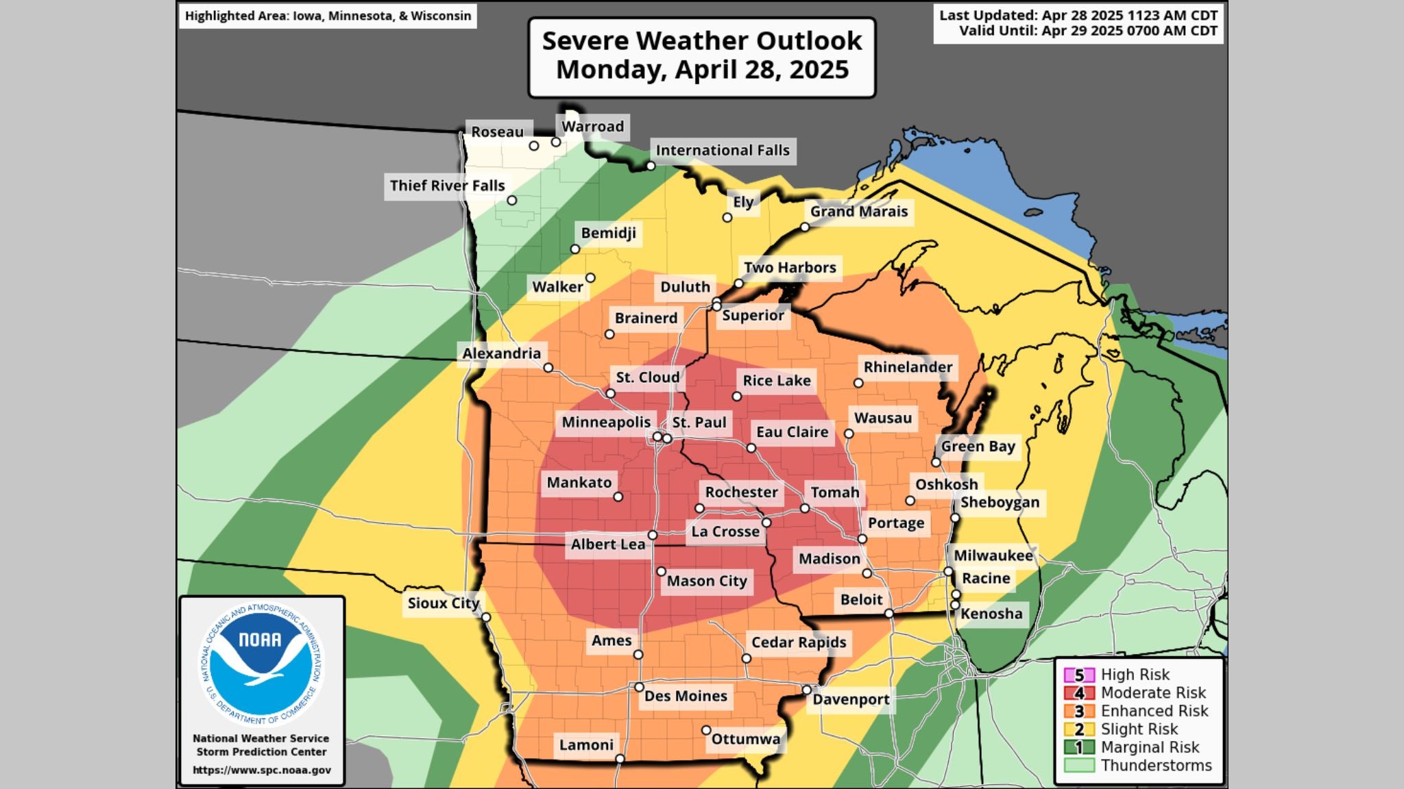

A line of severe thunderstorms could bring damaging winds and large hail to parts of southern and western Wisconsin on Thursday afternoon. The National Weather Service states hail could be as large as limes.
A low pressure system born in the central Plains and moving east through Minnesota and into Wisconsin Thursday afternoon is expected to spark a line of supercell thunderstorms between 5 p.m. and 7 p.m.
The severe weather threat for this afternoon and tonight continues. Large hail, damaging winds, and a few tornadoes are the primary threats. Locally heavy rain will also be possible. Stay weather aware and have multiple ways to receive warnings. pic.twitter.com/oiby9swnLO
— NWS La Crosse (@NWSLaCrosse) May 19, 2022
News with a little more humanity
WPR’s “Wisconsin Today” newsletter keeps you connected to the state you love without feeling overwhelmed. No paywall. No agenda. No corporate filter.
The National Weather Service office in La Crosse tweeted that areas between Prairie du Chien, Tomah, Whitehall and Eau Claire are under an enhanced risk for severe weather that could produce winds in excess of 60 mph, damaging hail and potential tornadoes.
National Weather Service-La Crosse Meteorologist Jeff Boyne said the low-pressure system is expected to cause instability in the atmosphere and conditions are favorable for storms to become more organized and severe.
“There could be some spots that definitely could see some large hail,” Boyne said. “And there is a possibility that some of the hailstones could be greater than 2 inches in diameter.”
As a matter of scale, Boyne said hail could be roughly the size of a lime.
“That type of hail can cause damage to roofs and vehicles,” Boyne said. “Not too healthy on the body either.”
Initially, the Weather Service warned of an enhanced threat of EF2 tornadoes or stronger. Boyne said that threat has decreased, though there is still a slight chance of tornadoes in the southern half of Wisconsin.
The Weather Service urges residents experiencing severe weather Thursday to seek shelter and stay indoors while having multiple ways to receive weather alerts.

Wisconsin Public Radio, © Copyright 2025, Board of Regents of the University of Wisconsin System and Wisconsin Educational Communications Board.