
Generative AI may “hallucinate” and pollute the internet, but it is a powerful tool for scientific inquiry, we learn. Then, 50 years of the History of Cartography Project is expected to result in six massive volumes of maps and analysis.
Featured in this Episode
-
Evaluating the problems and promise of AI
Artificial intelligence appears to be much better at some tasks than others. AI can provide unreliable information and ignore copyright protections. But AI is also accelerating scientific discoveries. We talk about AI with Kyle Cranmer, director of the Data Science Institute at UW-Madison.
-
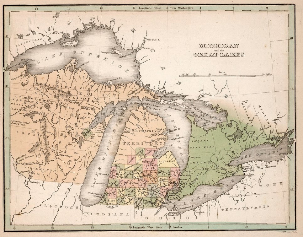
The history of mapping takes 50 years to tell
When a 50-year effort to tell the history of mapping and cartography is completed in 2027, the result will be six massive volumes in publication. We’ll talk to Matthew Edney, director of the History of Cartography Project at UW-Madison, about maps as cultural and political documents.
Episode Credits
- Lee Rayburn Host
- Kyle Cranmer Guest
- Matthew Edney Guest
- Jill Nadeau Executive Producer
- Joel Patenaude Producer
- Jeff Robbins Technical Director
Wisconsin Public Radio, © Copyright 2026, Board of Regents of the University of Wisconsin System and Wisconsin Educational Communications Board.