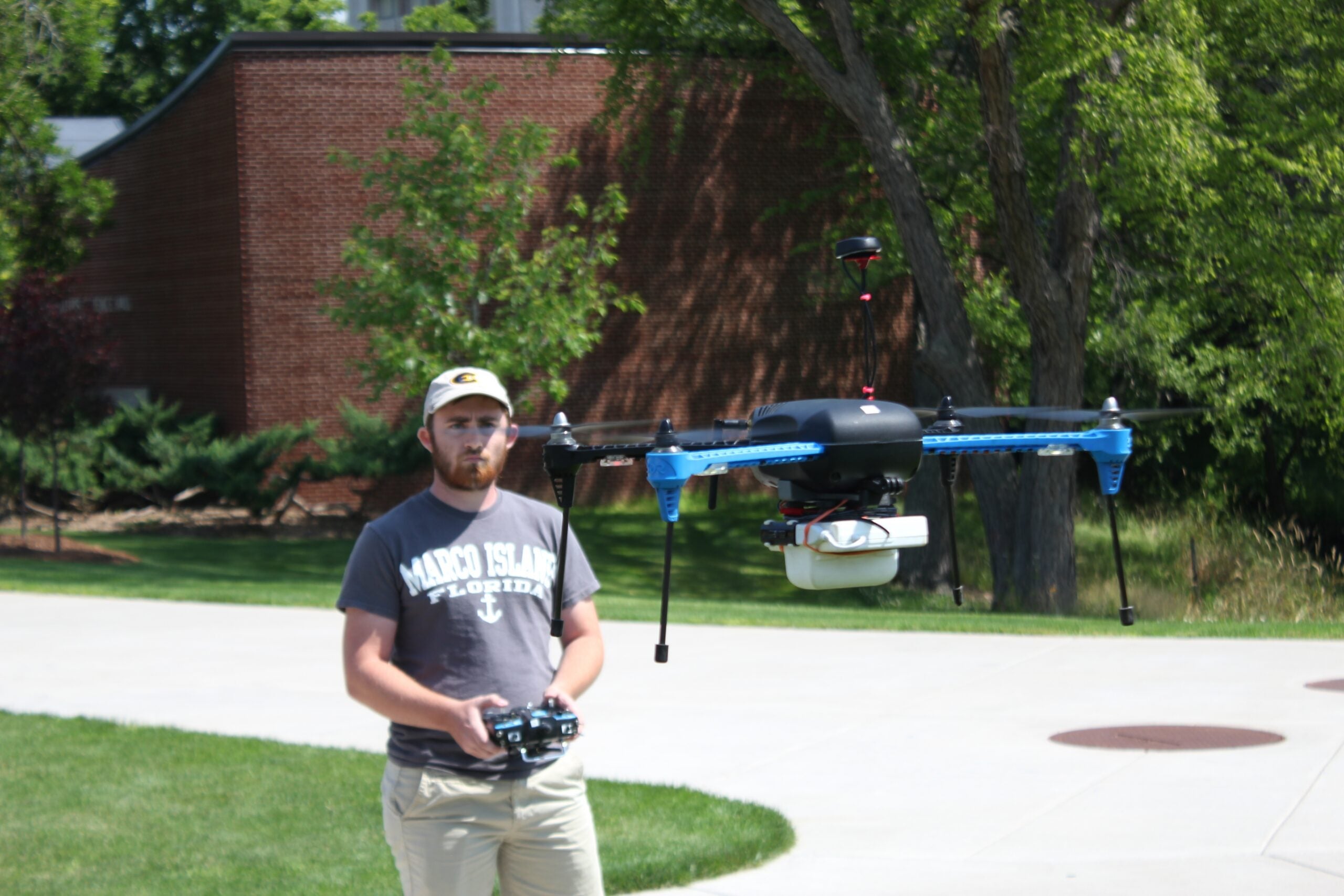
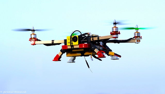
On a sunny summer day on the University of Wisconsin-Eau Claire’s campus, a normally bustling courtyard is empty. In other words, the timing is perfect for geography professor Joe Hupy and student Brendan Miracle to take IRIS for a spin.
IRIS is a small quadcopter — a drone with four propellers. Strapped to its belly is a high-tech set of cameras and sensors, as well as a global positioning system built by Sentek Systems in the Twin Cities.
After Hupy gives the command, Miracle pushes a button on the remote control to activate the drone’s rotors. After a warning tone sounds, the propellers begin to spin. At first they sound like a toy helicopter, but after IRIS lifts off, the noise grows until it sounds like a mighty swarm of angry bees.
News with a little more humanity
WPR’s “Wisconsin Today” newsletter keeps you connected to the state you love without feeling overwhelmed. No paywall. No agenda. No corporate filter.
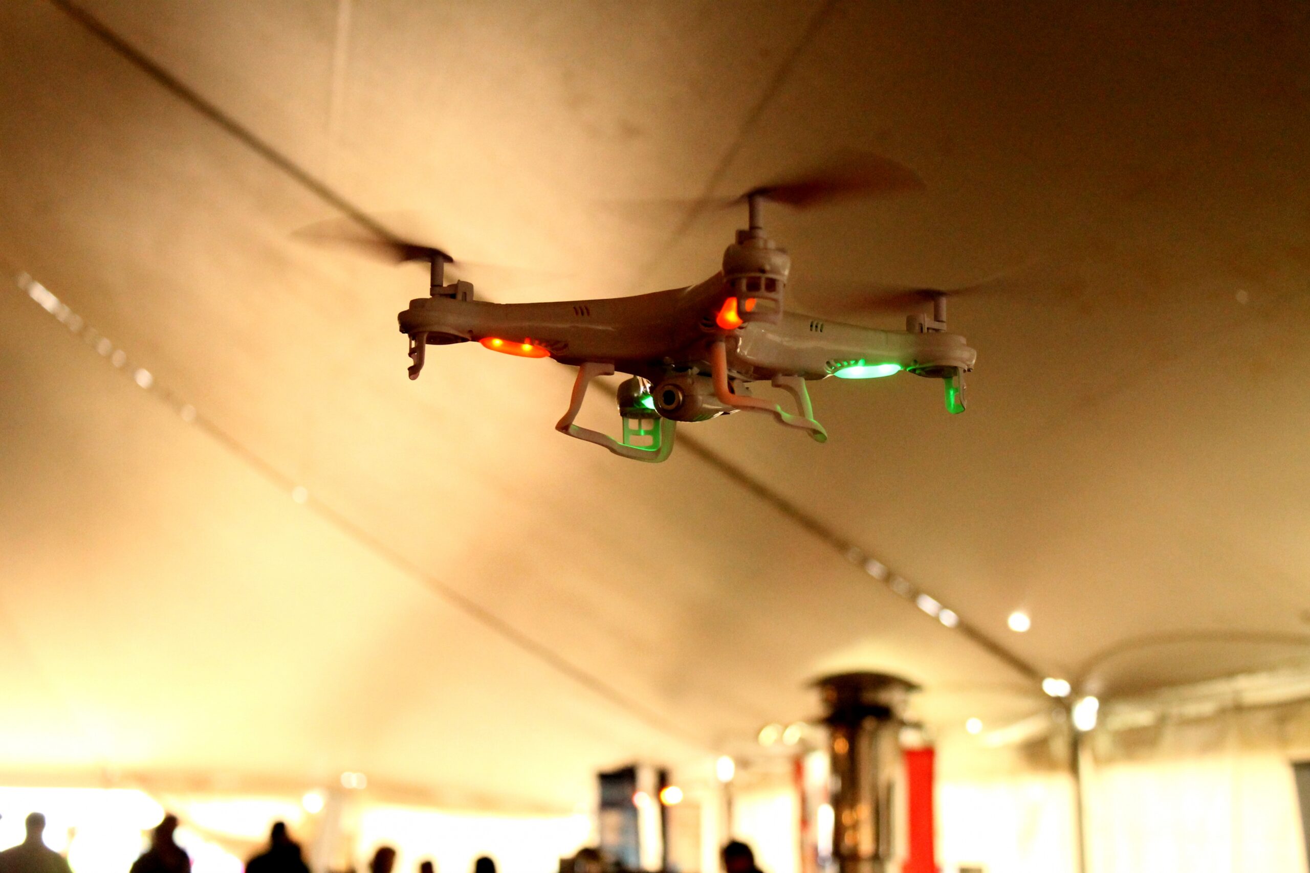
Hupy and his students have been using the cameras and sensors attached to IRIS to measure the health of farm fields. It’s just one example of how as technology improves and prices drop, drones are quickly becoming a part of life in Wisconsin. What’s more, they’re not just for hobbyists: Drones have found their way into everything from farm fields to law enforcement.
Precision Mapping And The Pursuit Of Criminals
Hupy said that the package attached to IRIS is capable of seeing wavelengths of light bouncing off of farm fields that are invisible to the naked eye.
“And with that near infrared, it measures … the water coming out from the vegetation. And that’s a measure of how healthy it is, in combination with the red, blue, green that we see,” said Hupy.
Inside a white box slung below the IRIS drone used by Professor Hupy and his students is a set of sensors capable of mapping the health of farm fields. Rich Kremer/WPR

Tiedeman’s Pond in Middleton, where a robbery suspect was recently found hiding thanks to a drone. Joshua Mayer (CC-BY-NC)
Hupy and his wife recently won a $400,000 grant to teach students how to use drones in agriculture and other precision mapping fields.
“I crafted a class where they learned basic navigation techniques, they learned GPS navigation, they learned GPS surveying, they learned topography surveys, they learned distance surveys. But along with that, I decided to start incorporating gathering imagery with a camera on a platform,” said Hupy.
Police and fire departments across the state are also starting to use drones. Earlier this year, the police and fire departments in the city of Middleton, just outside Madison, were the first in the state to use a drone in a criminal pursuit.
Police Captain Troy Hellenbrand said it started with an armed robbery at a local gas station on the afternoon on May 31. Police chased the vehicle of the fleeing suspect before the driver crashed his car and ran into a lake called Tiedeman’s Pond.
“The pond is on the outskirts, is full of cattails. It’s kind of difficult terrain to locate somebody,” said Hellenbrand.
That’s when Middleton Fire Chief Aaron Harris offered to deploy their new drone and its high-definition camera.
“The plan was to do a grid pattern, but shortly after the launch I was able to locate something that appeared to be an individual lying in the cattails,” said Hellenbrand. “When he heard the officers telling him to put his hands up he looked straight up at the drone and raised his arms or put out his arms. And at that point he knew he was caught.”
A Reasonable Expectation Of Privacy
With more drones in the sky people are concerned about privacy. In 2013, the state Legislature passed Act 213, which made it illegal to use a drone to photograph or record someone in a place where they have a reasonable expectation of privacy. But that definition is open to interpretation.
In mid-May, an activist used a drone to video a large frac sand mine in Chippewa County owned by Chippewa Sands. The drone lost power and landed on the property. A trespassing citation was issued, but Chippwa Sands attorney Brian Nodolf said charges should have been brought under the state’s drone law.
“This just happened to be over our facility. Today it’s a sand company, tomorrow it could be an individual’s back yard,” he said.
The Federal Aviation Administration is currently reviewing regulations related to drones. It’s likely that states will have to fine tune their laws as the technology becomes more popular.
Corrections: The original version of this story said that the student who launched the drone with Professor Hupy is named Brenden Miracle. His name is actually Brendan Miracle.
The original version of the story also said the company that built the global positioning system attached to the IRIS drone was called Sentec. The company is actually called Sentek.
Wisconsin Public Radio, © Copyright 2025, Board of Regents of the University of Wisconsin System and Wisconsin Educational Communications Board.

