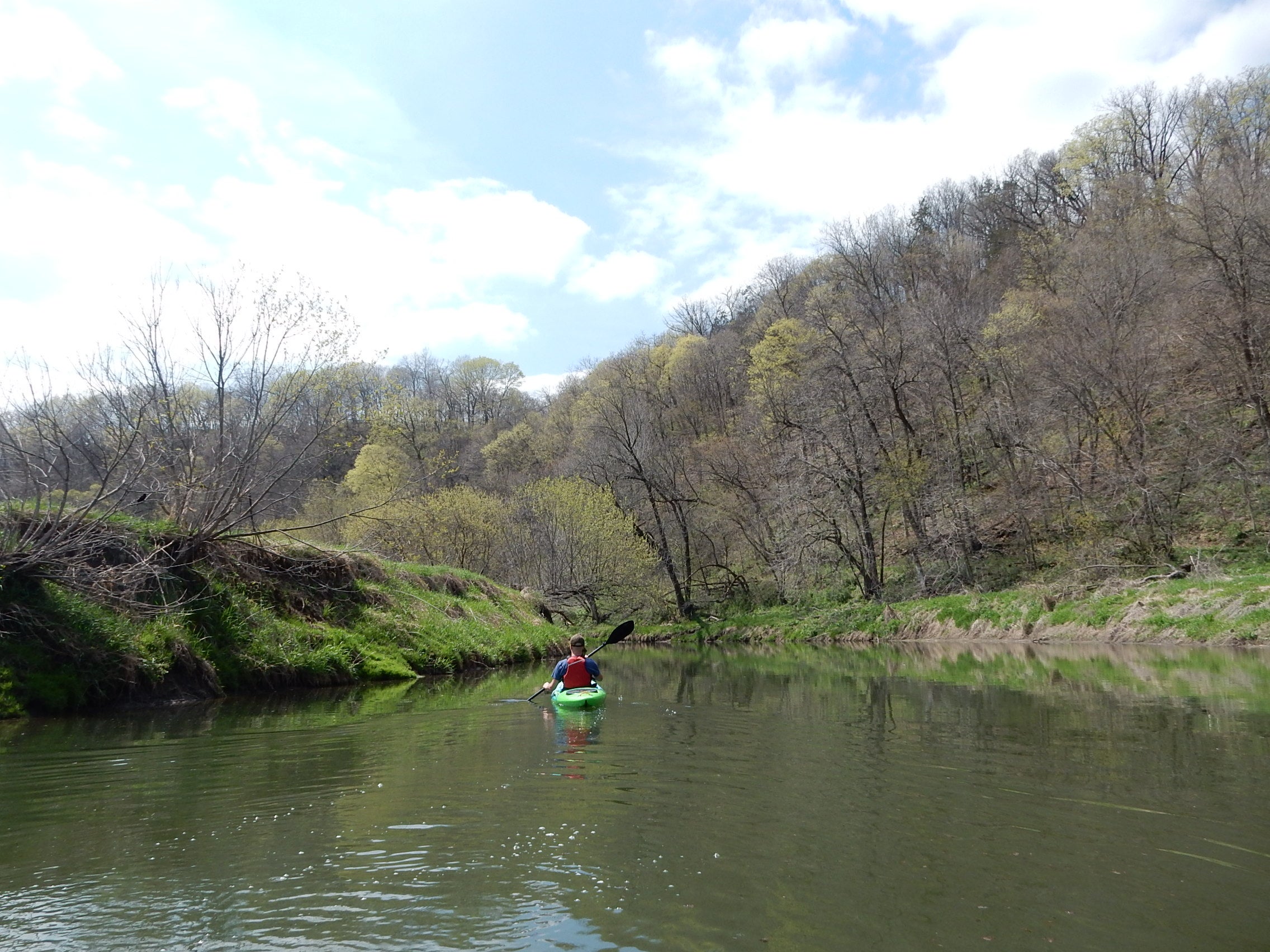
Outdoor enthusiast Timothy Bauer is a big fan of the phrase, “Friends don’t let friends paddle upstream.”
Bauer, a self-confessed kayak junkie and author of the book “Canoeing and Kayaking South Central Wisconsin: 60 Paddling Adventures Within 60 Miles of Madison,” has been paddling around Wisconsin and our neighboring states since about 2008.
“You’d no more paddle upstream to get back to where you started than a skier would ski up a hill without a chairlift,” he said.
News with a little more humanity
WPR’s “Wisconsin Today” newsletter keeps you connected to the state you love without feeling overwhelmed. No paywall. No agenda. No corporate filter.
So that begs this question: How do you get back to your starting position? Walking and jogging are options. Shuttle services or cabs will do the job. Bauer’s preferred activity to combine with kayaking, canoeing or paddleboarding is biking.
“Why?” he asked. “It’s good exercise, for starters. After sitting on your butt in a boat and really not using the lower half of your body for a few hours, it’s a welcome change of pace to put those legs and feet to work. Paddle upper half, pedal lower half.”
To prepare for this type of trip takes planning. You’ll need to park your bike where your river trip ends. When you arrive at that spot, you can leave your canoe, kayak or paddleboard where you left your bike, lock it up the same way you locked your bike, and then pedal back to where you started your trip. Then, drive to pick up your river raft.
There are about 40 spots throughout Wisconsin that are ideal for combining canoeing and biking, he said. His favorites, however, are located mostly in the Driftless area, which reaches into four states, is roughly the size of West Virginia, and has been untouched by glaciers. By itself, this area has eight different paddle-and-pedal combinations in Wisconsin, Bauer said.
“What makes it so great for paddling is the whole area is largely formed by rivers,” he said. “So all these deep cliffs and the caves, sinkholes, it’s moving water that has formed them… It is a place blessed with and born by rivers. It’s some of the best paddling you’re going to find in the upper Midwest.”
From north to south, those eight are: the Red Cedar River and Trail; the Chippewa River and Trail; the Trempealeau River and Great River Trail; the La Crosse River and Trail; the Kickapoo River and Kickapoo Valley Reserve; the Baraboo River and 400 State Trail; the Pine River and Trail; and finally the Pecatonica River and Cheese Trail.
“Not all of them are equal, of course, but each offers something entirely pleasant and convenient, safe, fun, and beautiful,” he said.
Bauer details his experiences with his three favorites:
Baraboo River And 400 State Trail
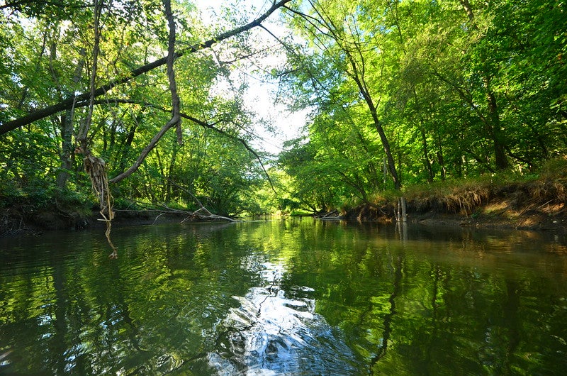
The 400 Trail: 22 miles long with four access points in Union Center, Wonewoc, LaValle and Reedsburg.
This combo pedal-paddle trail system is the most extensive, Bauer said, and has options for beginners and experts. Beginners might like the short trip from Union Center to Wonewoc, which is about 5.5 miles.
“The narrow, meandering Baraboo River takes its time around wetlands and beneath one impressive sandstone cliff towering 150 feet tall called Third Castle,” he said.
Those with a bit more experience might opt for starting in Wonewoc and traveling 15.5 miles to finish in LaValle. Here, you’ll find “unparalleled solitude and some of the best rock outcrops and bluffs the river has to offer,” Bauer said.
Those starting in LaValle will find an easier, 4-mile trip and the option to paddle through moderate rapids right at the start. This ride ends at a wayside park off of Douglas Road.
Looking for an easy float? Take the last leg of this route by starting at Douglas Road and floating down to Reedsburg through swamp and floodplains.
Don’t forget the $5 day-use fee to use the 400 State Trail. You can also buy an annual permit for $25, which can be used in the winter for cross-country skiing.
Kickapoo River And The Kickapoo Valley Reserve
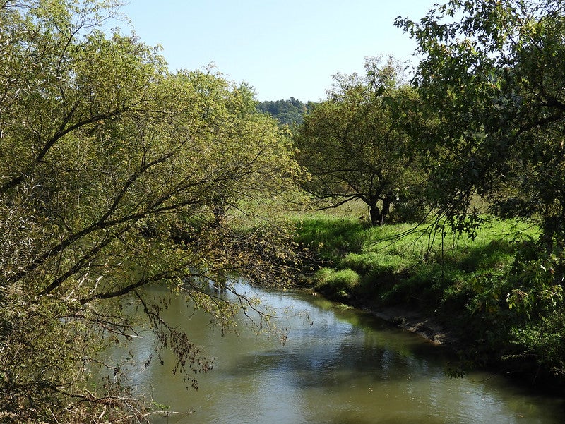
The Kickapoo Valley Reserve: 6.25 miles long between Rockton and LaFarge.
Bauer likens the upper section of the Kickapoo River to a ride at Disney World, full of mini-canyons, steep ravines and bluffs galore with no sign of development. This public land space also has plenty of options for riverside camping.
The Kickapoo Valley Reserve is the result of a collaboration between the state Department of Natural Resources and the Ho-Chunk Nation. Your state vehicle admission stickers and trail passes won’t work here. Instead, expect a fee of $5 per day or $20 annually to use the reserve.
There are a few different trails in the reserve, but your best bet is to take the segment from Rockton to LaFarge, 9.5 miles, which corresponds to your paddle trip along the river.
“The scenery is simply exquisite, on and off the water,” Bauer said.
Red Cedar River And Red Cedar Trail
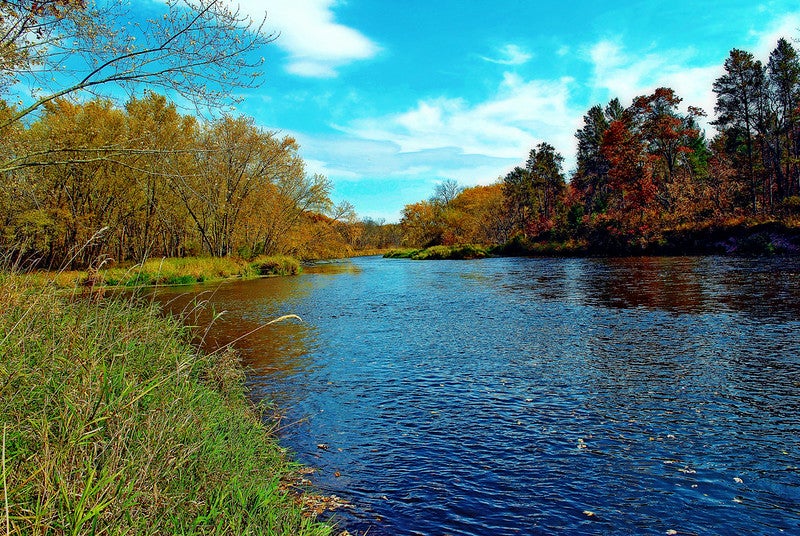
Red Cedar Trail: 14.5 miles long with four access points in Menomonie, Downsville, Dunnville and the Chippewa River State Trail.
This one’s a gem for both amateurs and veterans, Bauer said. The trailhead begins in downtown Menomonie, and runs for 14.5 miles “past wooded banks and bluffs, natural springs, exposed rock outcrops, astonishingly tall sandbanks and a smorgasbord of sandbars,” Bauer said.
It works well for beginners because the current is gentle, the width of the river averages 150 feet, and the water levels stay pretty consistent. Veterans will like it for the solitude and beauty.
For a shorter trip that’s about 8.25 miles, plan to take out in Downsville. Heading to Dunnville will take you about 14.75 miles.
“For the truly adventurous, a 2-for-1 option lies in paddling down to the Chippewa River and making this day trip an overnighter by camping on a sandbar island and taking out in Durand,” Bauer said. “The cherry on top is one can pedal the Chippewa River State Trail from Durand to the Red Cedar Trail and back up to Menomonie.”
You will need a $5 day-use pass to use the Red Cedar Trail or an annual permit.
Wisconsin Public Radio, © Copyright 2025, Board of Regents of the University of Wisconsin System and Wisconsin Educational Communications Board.

