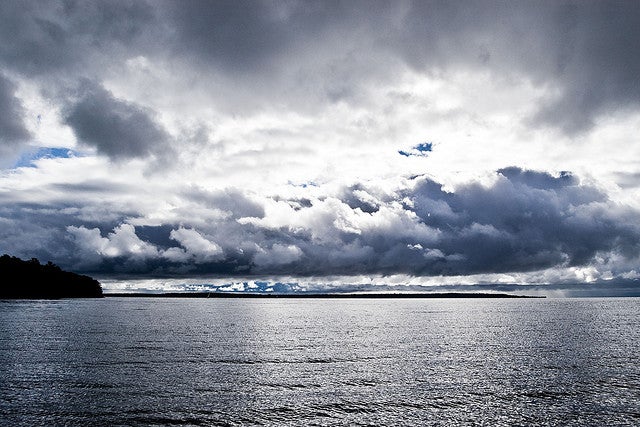
Lake Superior’s bottom will be scanned by sonar and laser beams around national parks this summer, as part of a U.S. National Park Service project to map the lake floor.
The National Park Service has been doing a methodical grid scan of Lake Superior’s floor for four summers. Project director Jay Glase in Ashland says they’re mapping the lake’s floor to help restore fish habitats and see the effects that artificial structures are having on things like spawning reefs.
“We have a few restoration projects going on at Apostles and Isle Royale and Pictured Rocks, where we can get really accurate readings of the structure of the lake floor and get some ideas of sand movement, bed load movement and how that might be impacted by structures like docks,” said Glase.
News with a little more humanity
WPR’s “Wisconsin Today” newsletter keeps you connected to the state you love without feeling overwhelmed. No paywall. No agenda. No corporate filter.
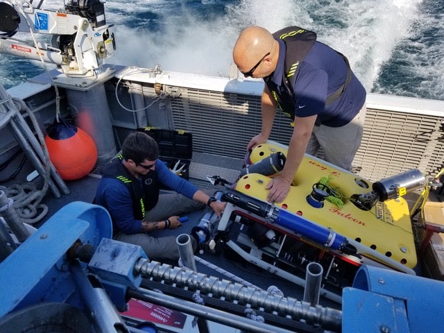
The mapping is done by a crew using sonar on board a 28-foot aluminum boat appropriately named “The Echo.” Glase says the work can be mind-numbing.
“Basically yeah, you’re going back and forth all day long,” said Glase. “If it’s a flat monotypic area, it can get pretty boring. The occasional thing shows up on your computer screen and it gets your adrenaline going and wakes you back up again.”
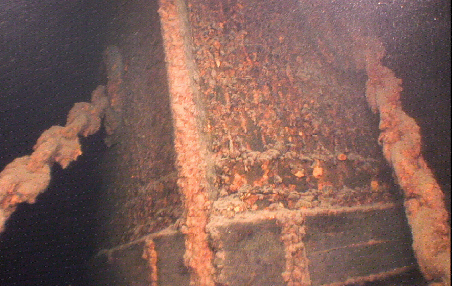
Glase says the team has uncovered a few mysteries. “There was one that we mapped out at Isle Royale,” he said. “The park staff actually went and dove with scuba (gear). It turned out it was a previously unidentified barge.”
He says they’ll dive what looks like other possible sunken boats in the Apostle Islands this summer.
“The Echo” and a plane using lasers have mapped out the lake bottom around 10 of the 22 Apostle Islands, all of Pictured Rocks and parts of Isle Royale.
Wisconsin Public Radio, © Copyright 2025, Board of Regents of the University of Wisconsin System and Wisconsin Educational Communications Board.


