Since the first moon landing, many children have gazed skyward and dreamed of becoming an astronaut or someday working for NASA. While astronauts get all the glory, the agency’s work spans so much more than space exploration.
For Sam Kelly, it’s his first time working on a project with NASA.

News with a little more humanity
WPR’s “Wisconsin Today” newsletter keeps you connected to the state you love without feeling overwhelmed. No paywall. No agenda. No corporate filter.
“It’s a lot of fun working for NASA. A lot of the NASA science that makes the news is about things that are looking away from Earth,” Kelly said. “But, they have a really great track record of measuring the Earth as well.”
The researcher at the University of Minnesota in Duluth is among a team of several hundred scientists from nearly 20 countries that are taking part in the first ever global survey of almost all water on the Earth’s surface, including the Great Lakes.
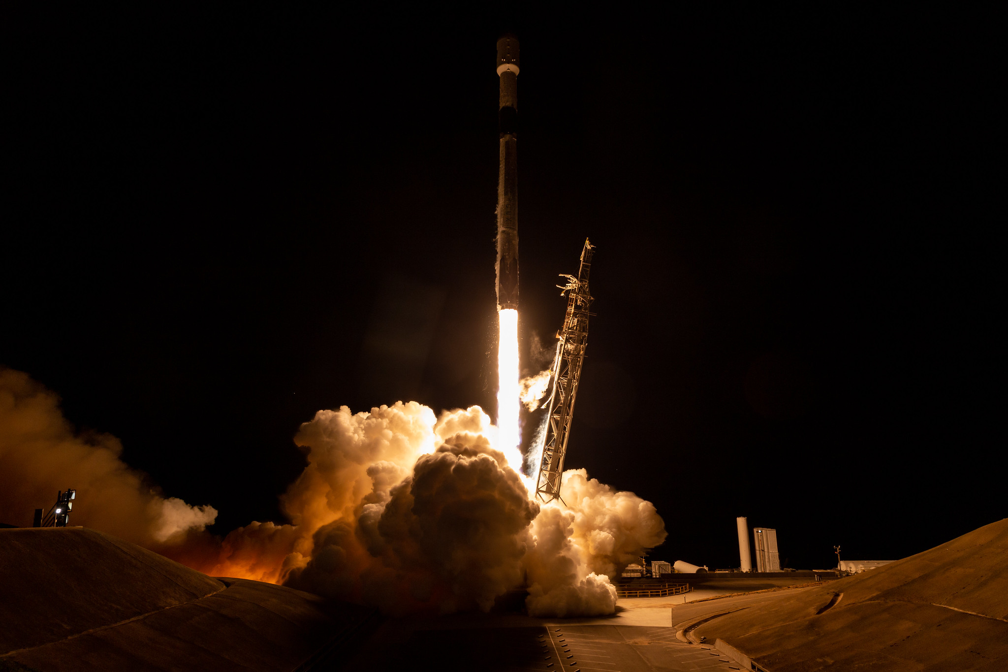
NASA and the French space agency Centre National d’Études Spatiales launched a satellite into space this month as part of a $1.2 billion mission that will measure the height of water in oceans, lakes and rivers across more than 90 percent of the globe’s surface. The two space agencies joined forces to develop the Surface Water and Ocean Topography, or SWOT, satellite that launched on Dec. 16.
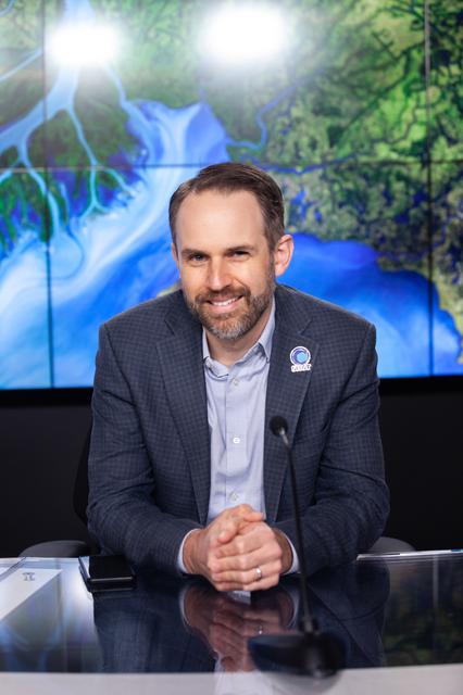
Tamlin Pavelsky, hydrology science lead for the SWOT, watched the launch at Vandenberg Space Force Base in California.
“I was standing out there watching this with people who I’ve been working with for 15 years on SWOT and with my wife,” Pavelsky said. “We were all celebrating this amazing milestone together on this mission that we all care deeply about.”
Data from the satellite will not only measure changes over time, but it will also provide insights on the effects of climate change and how communities can better prepare for floods.
Kelly, an associate professor at the university’s Large Lakes Observatory, initially got involved in the project to separate out ocean tides — a large signal in the height of the ocean — to measure changes in sea level rise. The science team is made up of oceanographers and hydrologists who are primarily interested in mapping ocean currents and taking a global inventory of surface freshwater.
“And the thing that nobody was talking about was the Great Lakes, which are sort of in the middle, between oceans and smaller lakes,” Kelly said. “And I think the exciting thing about the Great Lakes is that with this new satellite, which has very high resolution, that we might be able to apply some of the same oceanographic techniques to the Great Lakes in terms of mapping surface currents.”
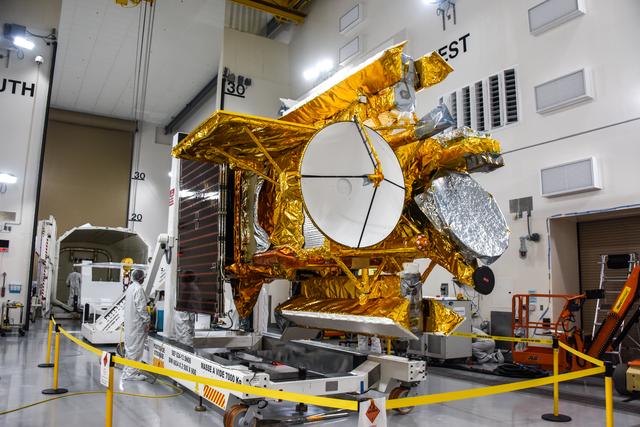
An animation shows the two antennas for SWOT’s Ka-band Radar Interferometer (KaRIn) instrument unfolding in orbit. Courtesy of NASA/JPL-Caltech
To capture that data, the satellite includes a major technological advancement in the form of a scientific instrument called the Ka-band radar interferometer or KaRIn. It has two antennas with one on each end of a satellite boom that’s 33 feet long, and the instrument bounces radar pulses off the water’s surface.
Pavelsky said current satellites only measure what’s underneath them as they orbit around the Earth. With KaRIn, the satellite will collect data over a 100-kilometer or roughly 60-mile wide swath.
“That means we’re going to be able to see much smaller scale structures, like eddies and whirls and things like that in the ocean,” Pavelsky said. “And on land, it means that we’re going to be able to see rivers and lakes much better than we have and much more completely than we had been able to do in the past.”
Data collected by the satellite will provide significant insights into how things move through the oceans. Pavelsky said ocean circulation drives the way the ocean works in terms of storing heat and carbon, which are important for understanding the effects of climate change. It also determines how any pollutants, such as an oil spill, move through the ocean.
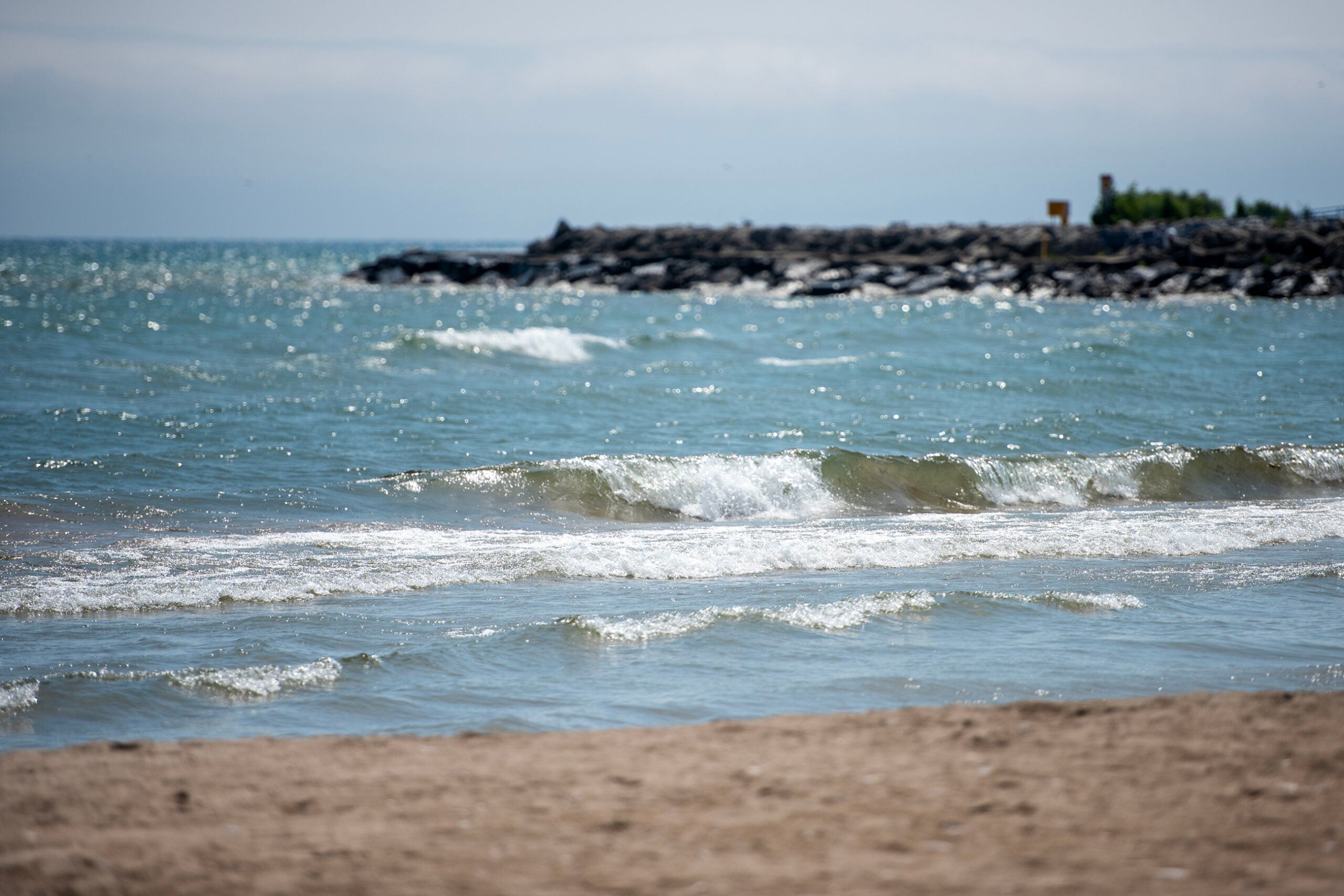
Kelly said the same is true of surface currents in the Great Lakes, and the satellite will show variations in the height across the lake that could indicate those currents and how they’re moving.
“The idea is that surface currents are really important for transporting pollution, or, if we have a harmful algal bloom, it can help us track either where the algal bloom came from or where it might be heading,” Kelly said. “And, if somebody falls off of a boat and we’re trying to find them, knowing which way the surface currents are going is super helpful for search and rescue.”
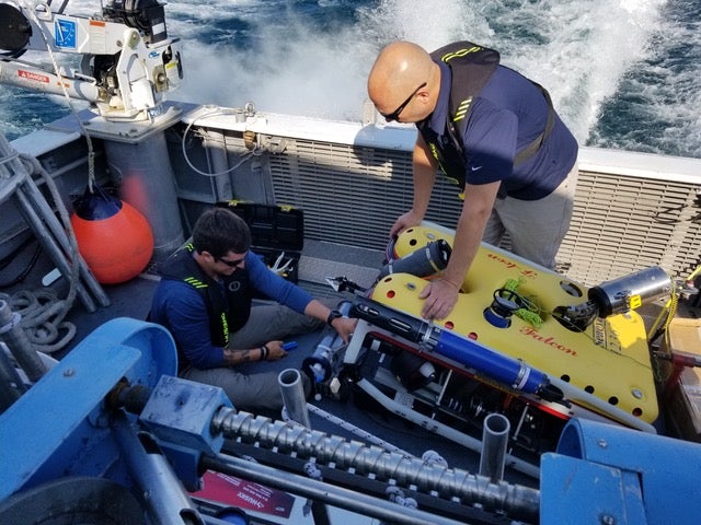
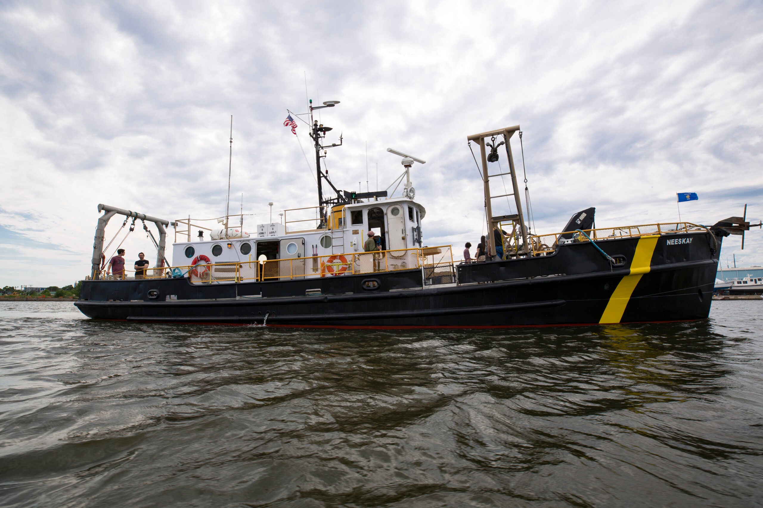
Most of what scientists know about currents on the Great Lakes stem from models produced by NOAA’s Great Lakes Environmental Research Lab. Kelly said the Large Lakes Observatory has long-term measurements of currents. Even so, scientists can typically only access that data once a year because it’s internally recorded on instruments that are currently 60 meters below the surface of Lake Superior.
The satellite is expected to improve models and data collected from the lakes. It will also help scientists better understand flood hazards in rivers and lakes worldwide.
“Flooding causes more damage and more loss of life than any other type of natural disaster worldwide,” Pavelsky said. “And so, for example, all of the lakes and reservoirs in the world, for the first time we’re actually going to be able to observe how the storage of water in nearly all of those changes over time.”
Now, the team is going through the process of unfolding the antennas and turning on the satellite’s instruments. In March, Pavelsky said he and other scientists will begin collecting data on the ground to validate how well the measurements from the SWOT satellite are working.
Kelly said scientists must also interpret the data. Much like the oceans, the Great Lakes have seiches that are often called wind tides because of wind bursts that rock the lakes back and forth. Those movements will need to be separated from the data to determine average currents on the lake’s surface.
The mission is expected to last three years. If all goes well, scientists plan to release data from SWOT in October next year.

Wisconsin Public Radio, © Copyright 2026, Board of Regents of the University of Wisconsin System and Wisconsin Educational Communications Board.