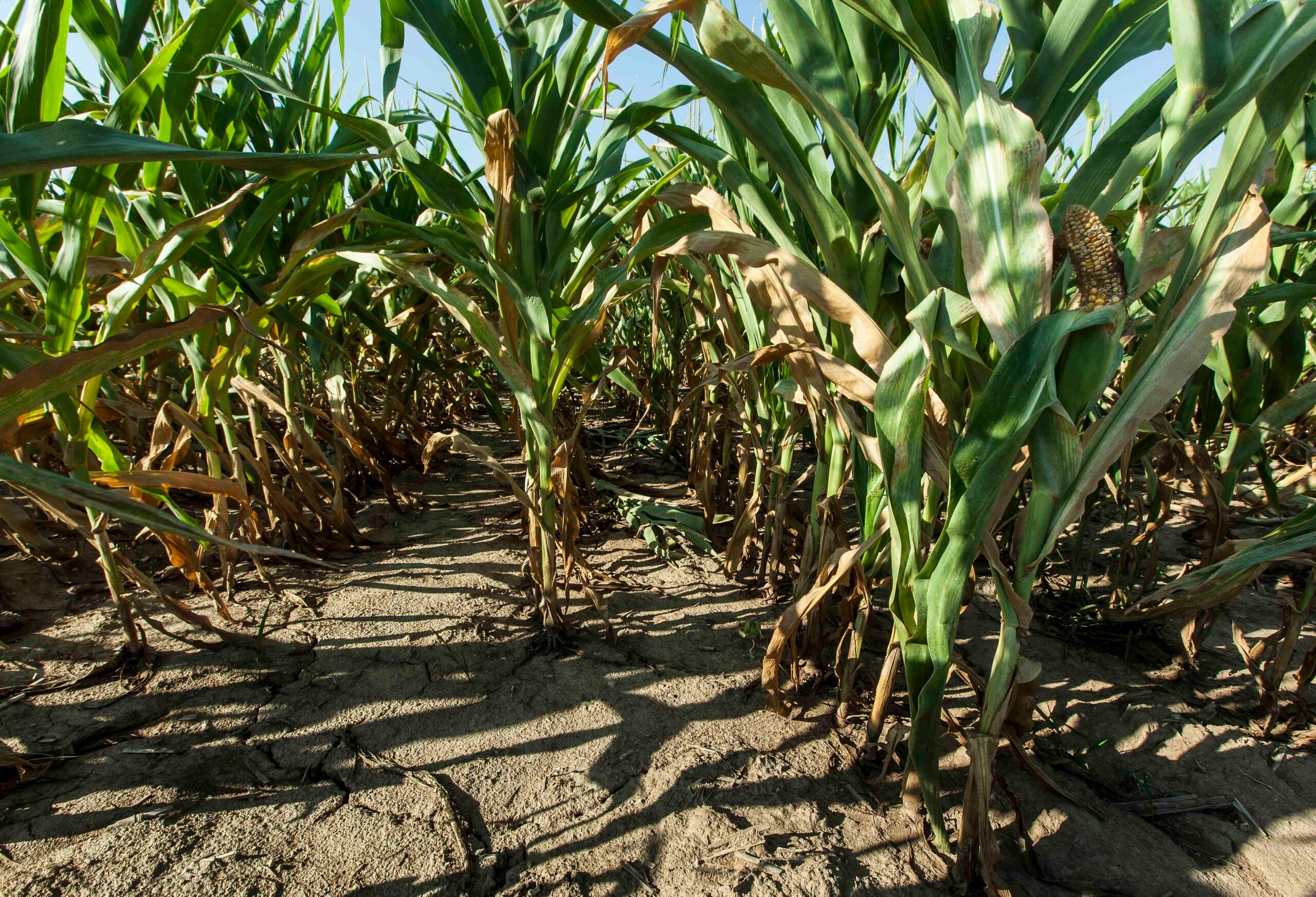
Measuring the toll on Wisconsin’s underground water supplies from severe drought conditions could take years to gauge, according to the head of the state’s geological survey.
This summer, parts of northern Wisconsin experienced “exceptional drought,” the highest rating by the U.S. Drought Monitor. A central Wisconsin trout stream dried up for the first time in about a decade. And at one point this year, hundreds more wildfires had flared across the state above normal levels.
During a recent interview with WPR’s “The Morning Show,” state geologist Sue Swanson said measuring the drought’s effects on aquifers would require a multi-year analysis.
News with a little more humanity
WPR’s “Wisconsin Today” newsletter keeps you connected to the state you love without feeling overwhelmed. No paywall. No agenda. No corporate filter.
“Groundwater responds very slowly to changes in the water cycle,” Swanson said.
This fall, Swanson started leading the Wisconsin Geological and Natural History Survey. That project researches and provides environmental measurements to help inform government policy. Swanson previously worked more than 20 years as a professor at Beloit College.
On “The Morning Show,” Swanson also discussed artesian wells, toxic chemicals known as PFAS and the state’s glacial history.
The following was edited for brevity and clarity.
Kate Archer Kent: Earlier this year, parts of Wisconsin experienced an “exceptional drought,” according to the National Oceanic and Atmospheric Administration. How has the recent drought affected state research?
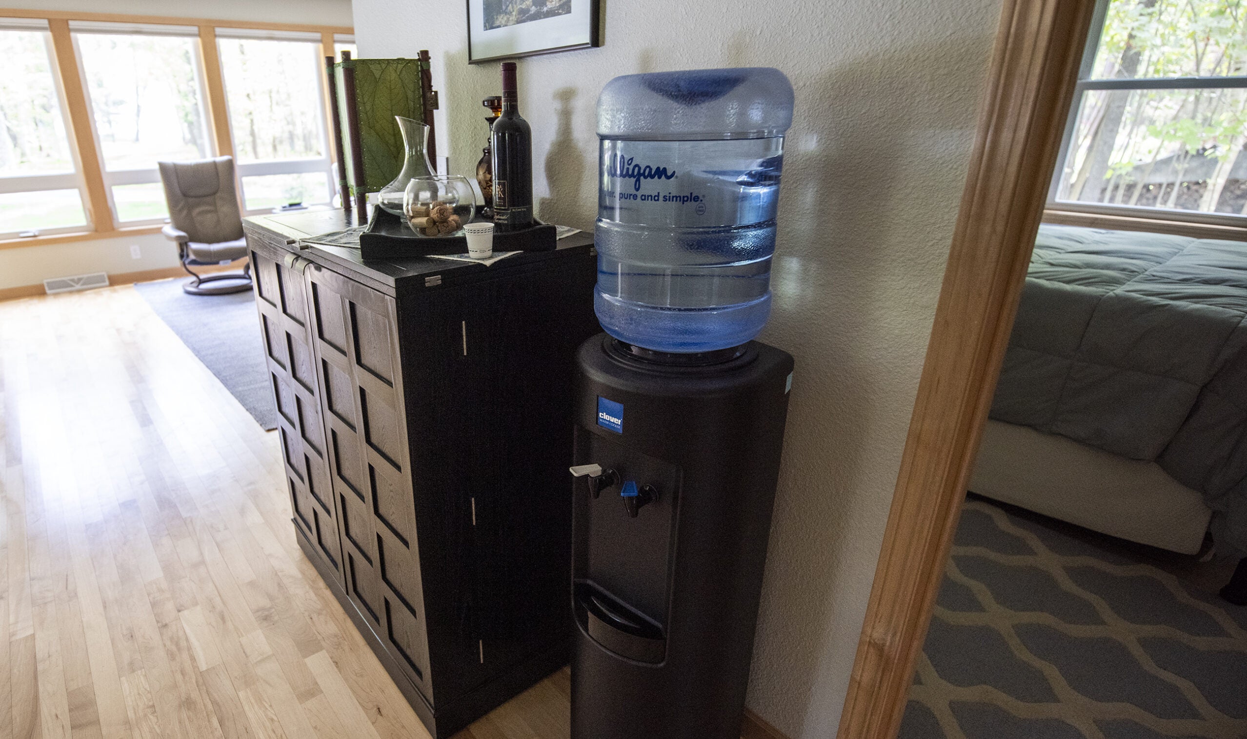
Sue Swanson: At the state geological survey, we study groundwater resources much more than surface water resources. The two interact. Really, the two are the same. But we tend to focus more on groundwater, and groundwater responds very slowly to changes in the water cycle.
The drought over this last summer would have a greater effect on our groundwater resources — that is, maybe a decline in the water table — if we saw a multi-year drought. Similarly, when we see multiple years with higher-than-average precipitation, that’s when the water table starts to rise. So, there’s often a lag in the effect of seasonal increases or decreases in precipitation.
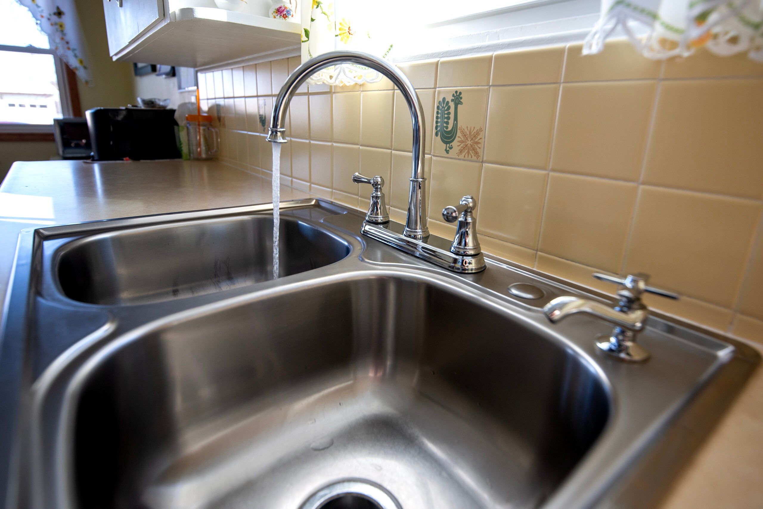
KAK: How does the state measure groundwater, and what is happening with water moving through sediment and soil?
SS: We’re involved in inventorying at the statewide level and also at the county level. One interesting project that we just wrapped up was in association with Bayfield County way up in northern Wisconsin. We inventoried flowing artesian wells. These are wells that don’t require a pump for the most part. Water naturally flows to the surface because of the geologic and topographic conditions.
The local residents really value the flowing artesian wells in the area. For a hydrogeologist, flowing wells and springs, too, are really helpful, because they’re an easy way to sample groundwater. It’s coming right to the surface. The water chemistry of that groundwater emanating from a spring or a flowing well can inform where water enters the aquifer and how long it takes to flow from where water enters the system to the well.
In Bayfield County, there is very little development or agriculture, and water quality is really high. But that also means it might be vulnerable to changes in land use. For this reason, documenting where the flowing artesian wells are and doing some initial baseline chemistry on them is really helping to better assess their vulnerability to changes in the future.
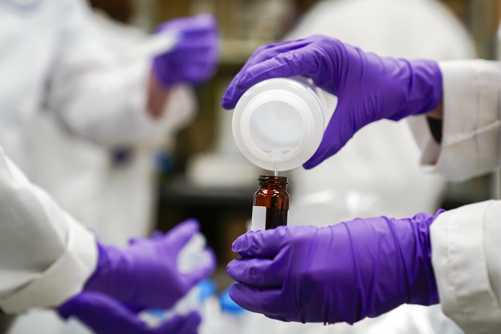
KAK: What can you tell us about toxic chemicals known as PFAS?
SS: I’ll give you an example of a current project we have.
PFAS are often released into the environment and then will sweep into the shallow groundwater aquifers where it can enter surface water bodies like Lake Michigan. … Researchers are actually testing the aquifer materials themselves to get a better sense of whether PFAS have absorbed onto these materials and then how likely it is to be released into aquifers and ultimately impact a surface water body like Lake Michigan.
KAK: How long does a project last?
SS: Typical projects are at least one year and often times are multi-year. One thing about geological information is that it takes some effort to go out and collect. Whether we are literally on foot looking at rock outcrops in the state, whether we are hiring drillers to help collect samples in the subsurface or whether we’re collecting groundwater samples, it can take some effort to actually plan the data collection phase of our project.
Additionally, especially for the water resources, a single sample tends not to be as helpful as information that is collected over time. We might go out to a particular site on a monthly basis, a quarterly basis or an annual basis to better understand how the system changes seasonally or annually.
READ MORE: Wisconsin apple, grape growers report ‘beautiful’ crop this fall despite ongoing drought
KAK: How much research about our state’s glacial geology comes from the Wisconsin Geological and Natural History Survey?
SS: A lot of it does. The mapping the state geological survey does really underpins all of our work. Whether we’re talking about mapping rocks and bedrock, or whether we’re talking about mapping glacial deposits, it really impacts everything we do.
Wisconsin was covered by glaciers repeatedly. The most recent glacial period is actually named after the state of Wisconsin — the Wisconsin glaciation — because we have really clear features of that event in the state. That began about 32,000 years ago and ended up covering most of Wisconsin, not all of Wisconsin. But the ice finally retreated about 6,000 or 7,000 years ago. It’s a big part of what shapes the landscape of Wisconsin today and also is a really big part of why we have such abundant water resources in the state.

Wisconsin Public Radio, © Copyright 2026, Board of Regents of the University of Wisconsin System and Wisconsin Educational Communications Board.