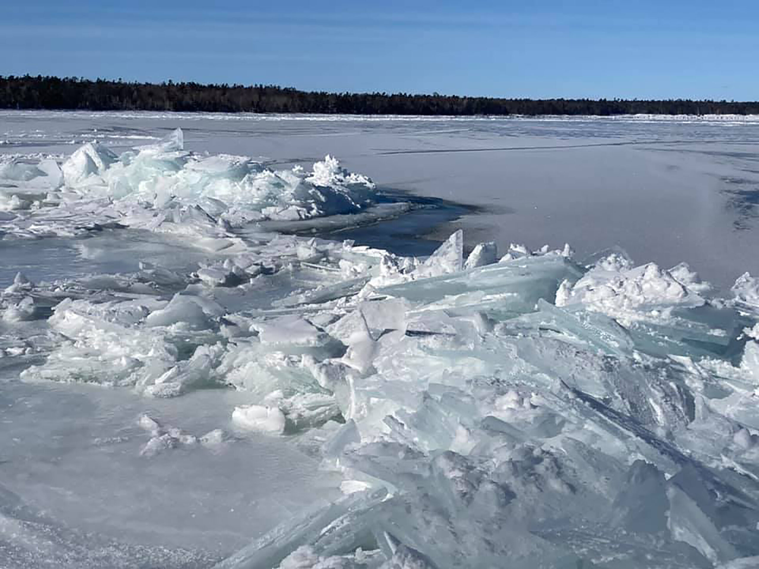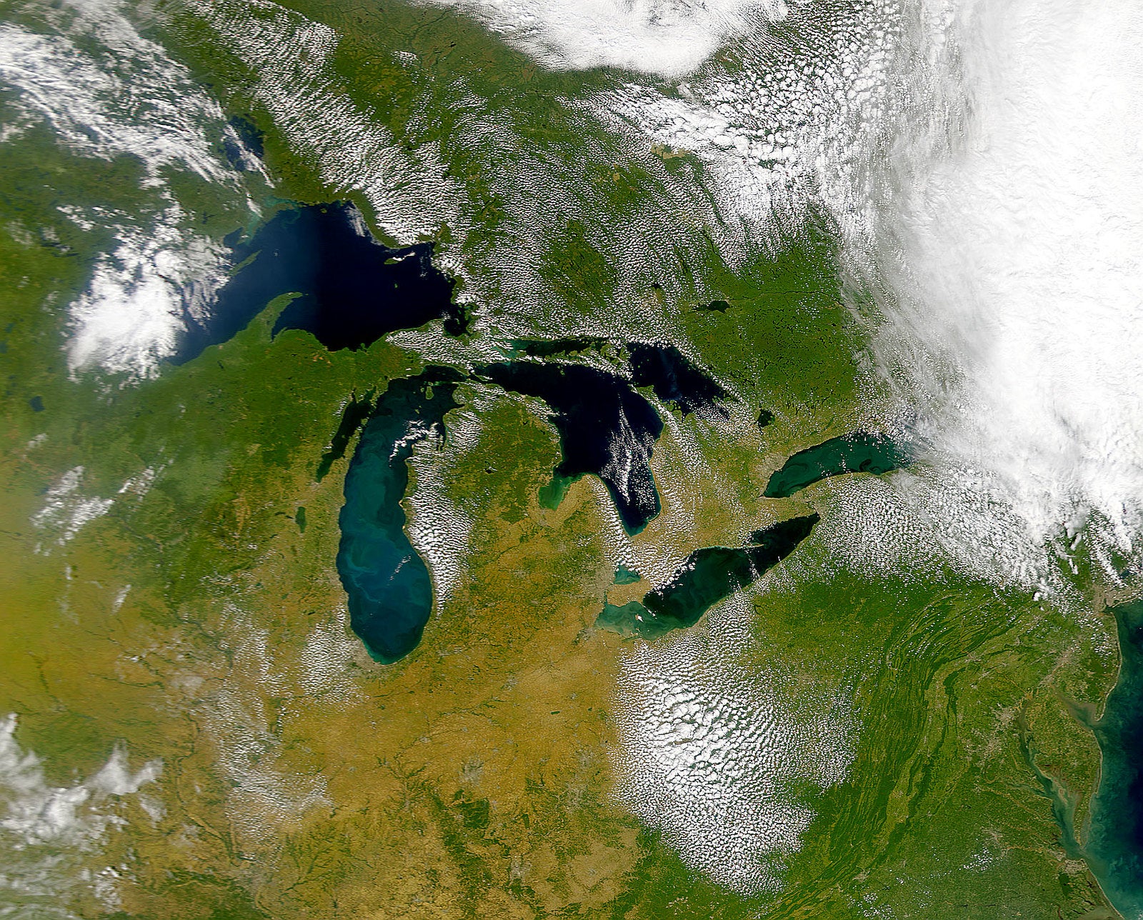
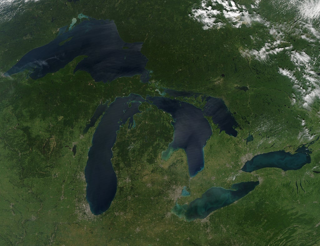
Two Great Lakes are seeing the highest water levels ever recorded.
The U.S. Army Corps of Engineers said Lake Erie broke its previous record set back in 1986 while Lake Ontario surpassed a record set in 2017.
“The records on Lake St. Clair, Lake Erie and Lake Ontario are the highest levels for any month going back to 1918,” said Keith Kompoltowicz, the Corps’ chief of watershed hydrology.
News with a little more humanity
WPR’s “Wisconsin Today” newsletter keeps you connected to the state you love without feeling overwhelmed. No paywall. No agenda. No corporate filter.
Lake Erie reached 574.61 feet in June compared to 574.28 feet in 1986. Lake Ontario rose to 249.05 feet, up from 248.72 feet in 2017. Lake St. Clair, which connects Erie and Huron, rose to 577.40 feet in June. The record for the freshwater lake was 577.17 feet set back in 1986.
Not to be left out, Lake Superior set a record for its monthly mean in June at 603.15 feet, which was 3 inches higher than the record of 602.89 feet set back in 1986.
Lake Michigan missed its monthly record high for June by less than an inch at 581.76 feet compared to 581.79 feet in 1986.
“The recent levels that we’re seeing are very near a period of extremely low water levels,” said Kompoltowicz. “Up until recently, we hadn’t come outside of our recorded range, but we’re certainly doing that now.”
In 2013, Great Lakes water levels were well below average and lakes Huron and Michigan saw their lowest levels ever recorded. Kompoltowicz said the lakes have been on an increasing trend ever since and all lakes are above the long-term average. The current six-month forecast indicates all Great Lakes will meet or go beyond July monthly records except on lakes Michigan and Huron.
The International Lake Superior Board of Control said water levels at the beginning of July were about an inch and a half above its record high levels for early July set back in 1943. The board said in a July 3 release that the International Joint Commission has allowed higher outflows from Lake Superior into the St. Marys River than those that were set in its 2012 plan.
“The ability to control the outflow does not mean the water levels of Lake Superior are controllable … Lake Superior is extremely large and the variability in the rainfall, runoff and evaporation that falls on Lake Superior is much greater than the ability to increase or decrease outflow,” said Kompoltowicz.
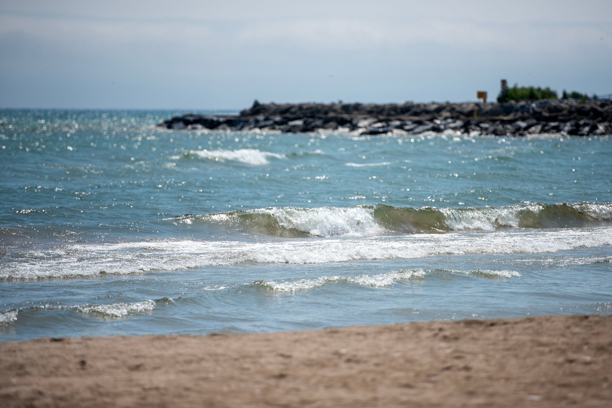
Above-average rainfall last month contributed to rising levels on all the Great Lakes except for Lake Superior, which saw below-average rainfall for the month. Kompoltowicz said the rising water levels have caused increased instances of coastal flooding, especially during storm events. Property owners are also seeing more shoreline erosion with higher water and increased wave action.

Wisconsin Public Radio, © Copyright 2026, Board of Regents of the University of Wisconsin System and Wisconsin Educational Communications Board.