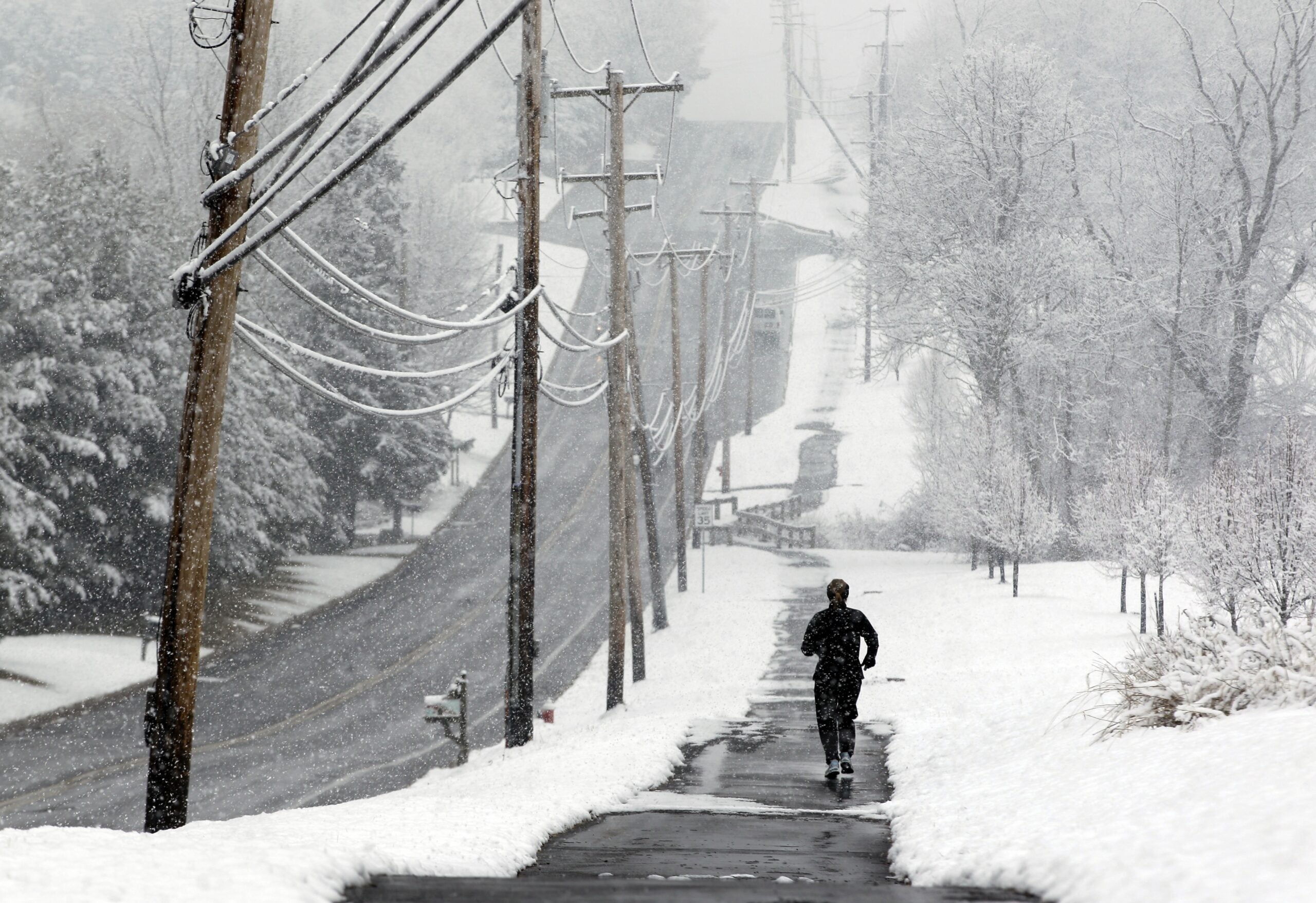
A fast-moving winter weather system has been dumping snow across Wisconsin since Sunday all through Monday, and those living closer to Lake Superior and Lake Michigan are seeing heavier amounts.
Some areas of the Twin Ports have seen up to a foot of snow, while Milwaukee and Ozaukee counties could see up to 15 inches. National Weather Service Meteorologist Ben Herzog with the Milwaukee office said it’s coming down hard and fast along the Michigan lakeshore.
“That snow can really pile up pretty fast on the roads — sometimes faster than the road crews can get out to it,” he said. “People should just take their time while they’re traveling.”
Stay informed on the latest news
Sign up for WPR’s email newsletter.
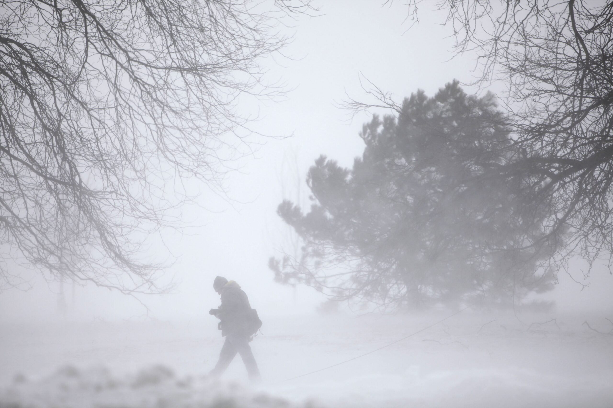
Herzog said conditions are ripe for narrow bands of lake effect snow. Because the region is on the north side of the low pressure system, it is presenting easterly winds. That means wind is coming up off Lake Michigan, “and that’s when that lake effect snow situation tends to set up,” he said.
“When that cold air goes over the relatively warm waters of Lake Michigan, that can really set the stage for these intense snow bands,” he said.
Herzog said they expect snow in southeastern Wisconsin communities near the lake to continue into Monday evening and possibly Tuesday morning.
Duluth National Weather Service Meteorologist Bill Mokry said the northern region is seeing a wide variation in snowfall with the lake effect snow and open water.
“We don’t see it too often because we really need a good open lake as well as just kind of the moisture sources to be there and specifically the winds,” Mokry said, comparing it to a similar storm in March 2007 that dumped 20 inches of snow on the region.
Around 13 inches fell Sunday near Spirit Mountain and Morgan Park in Duluth, Minnesota, but Superior saw only two inches at the Richard I. Bong Airport.
Areas further inland have seen around six inches or less. On the south shore of Lake Superior, Mokry said, changing winds may cause another two to four inches to fall in Bayfield, Washburn and Ashland.
During the next day, the right wind pattern and moisture source could come together and create “another round or so of some snow that will give them a couple more inches as well,” Mokry said.
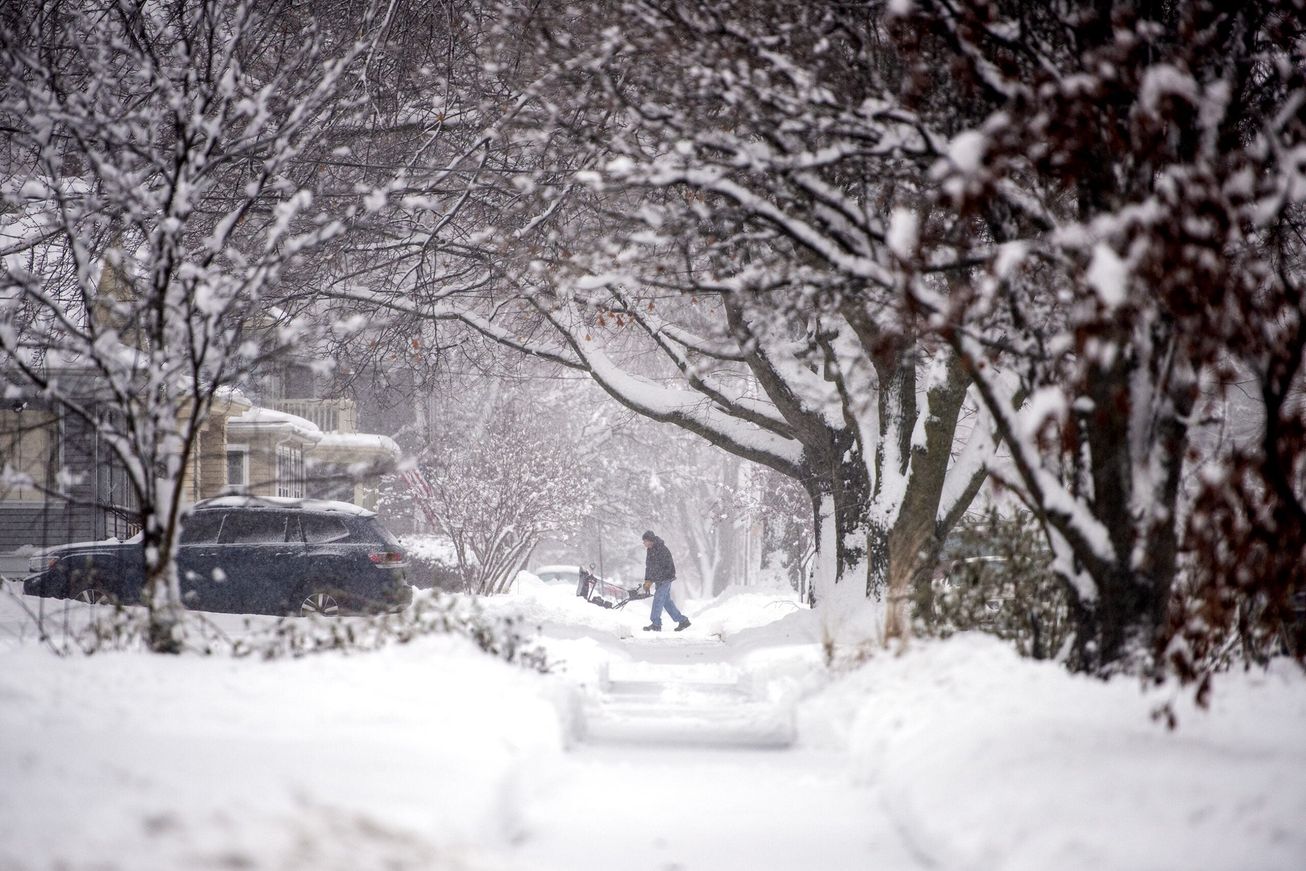
Snow-covered and slippery roads have caused multiple accidents in Milwaukee County and U.S. 41 in Washington County. The weather has caused school closings across the state, including in Superior and Germantown.
The National Weather Service in La Crosse received reports of six inches in southern Wisconsin since Sunday afternoon, while eight to 10 inches of snow dropped further west in southeastern Minnesota.
Wisconsin Public Radio, © Copyright 2024, Board of Regents of the University of Wisconsin System and Wisconsin Educational Communications Board.