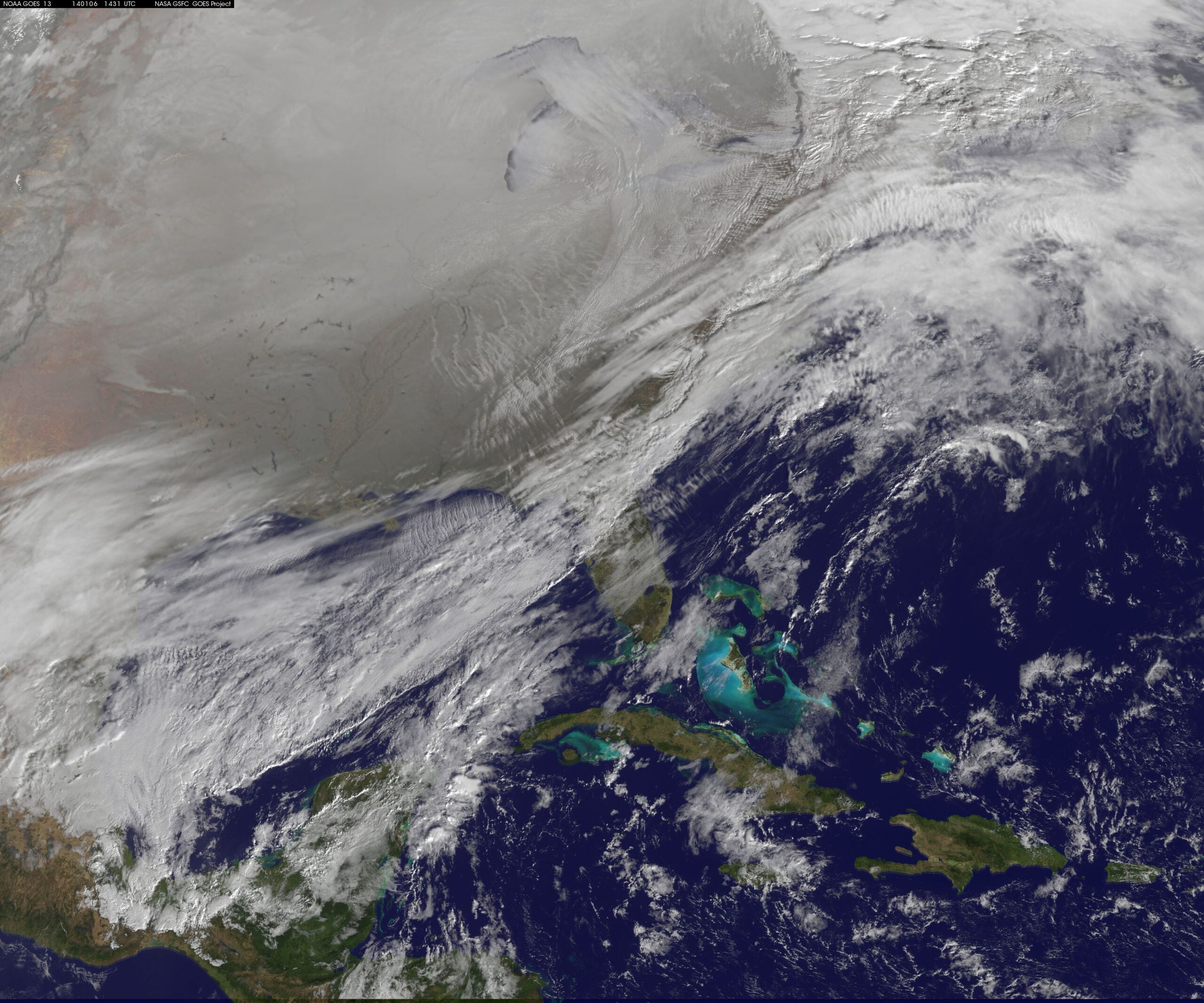
The polar vortex that plunged Wisconsin and most of the country into extreme cold last week has retreated, meaning the jet stream has moved north with the cold air.
Tasos Kallas, a meteorologist with the National Weather Service in Green Bay, said last week the jet stream dipped much farther south than it normally does.
“Now, the jet stream has come a little farther north,” he said. “That’s what’s led to this system coming across Wisconsin as opposed to driving down toward St. Louis and Memphis as it has in the past.”
News with a little more humanity
WPR’s “Wisconsin Today” newsletter keeps you connected to the state you love without feeling overwhelmed. No paywall. No agenda. No corporate filter.
The system Kallas refers to is a winter storm that has brought snow to many areas of Wisconsin.
Winds gusting up to 40 mph Tuesday night are expected to create low visibility and hazardous driving conditions. Otherwise, Kallas characterizes Tuesday’s storm as “typical” for January in Wisconsin.
Wisconsin Public Radio, © Copyright 2026, Board of Regents of the University of Wisconsin System and Wisconsin Educational Communications Board.