Winter won’t be making way for spring – maybe not for the next 10 days, thanks to winter-like systems hanging around the upper Midwest.
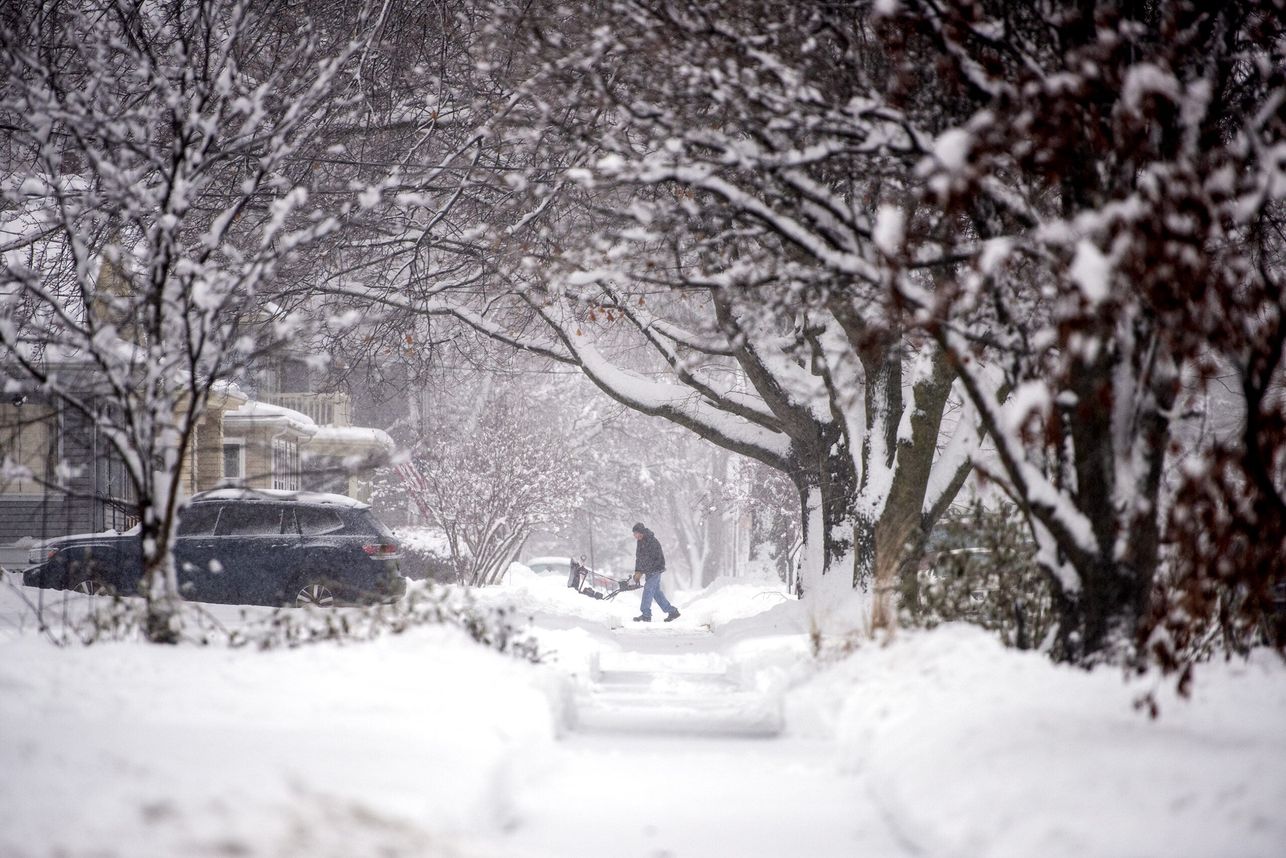
Tomorrow, far northern Wisconsin is set to get walloped by heavy snow and high winds.
The “money time” of this storm is supposed to begin around noon in Superior and Hayward, and a little later in Ashland to Park Falls. Eight to 12 inches of heavy, wet snow with gusts off Lake Superior at 50 miles per hour are expected.
Stay informed on the latest news
Sign up for WPR’s email newsletter.
National Weather Service Duluth science officer Dan Miller says it will be a tough afternoon.
“We might not have many problems getting people to where they need to go in the morning. The problem, and it’s a big problem, is getting them home in the afternoon.”
This reminds warning coordinator Carol Christenson of a 2005 April storm that left parts of this area without power for three days: “We’re kind of looking at the same thing. We expect snow everywhere.”
Miller says the prolonged winter may be payback: “Maybe to use a little bit of humor, Mother Nature is collecting interest from the early spring we had last year.”
Meanwhile, the 10-day forecast also includes the possibility of two to three more snow events, possibly storms, with the next round arriving Sunday or Monday.
Wisconsin Public Radio, © Copyright 2024, Board of Regents of the University of Wisconsin System and Wisconsin Educational Communications Board.