
Some Wisconsin cities are seeing record snowfalls for the month of February. And it’s possible a few might surpass records for the winter season.
Wausau set a February record with 39.1 inches so far, surpassing the previous record of 28.4 inches set back in 1962. Eau Claire also broke the February record of 28.2 inches made in 1936 with 33.7 inches of snow.
Meteorologist Ben Miller with the National Weather Service Office in Milwaukee/Sullivan said Eau Claire could surpass the seasonal record of 61.6 inches set during the 1996-1997 winter.
Stay informed on the latest news
Sign up for WPR’s email newsletter.
“I would say that’s probably a pretty good bet that they’re going to surpass that record here by the end of the month,” Miller said of Eau Claire.
La Crosse is also close to setting a new monthly record since it’s about 4 inches shy of surpassing the record of 31 inches set in 1959. Just across the border from Superior, Duluth is about a half-inch away from breaking the record set in 1939, according to Dan Miller, science and operations officer with the National Weather Service Office in Duluth.
“It’s really been the last four to five weeks where we’ve really kind of not only turned the switch, but then put the dial on maximum, so to speak,” he said.

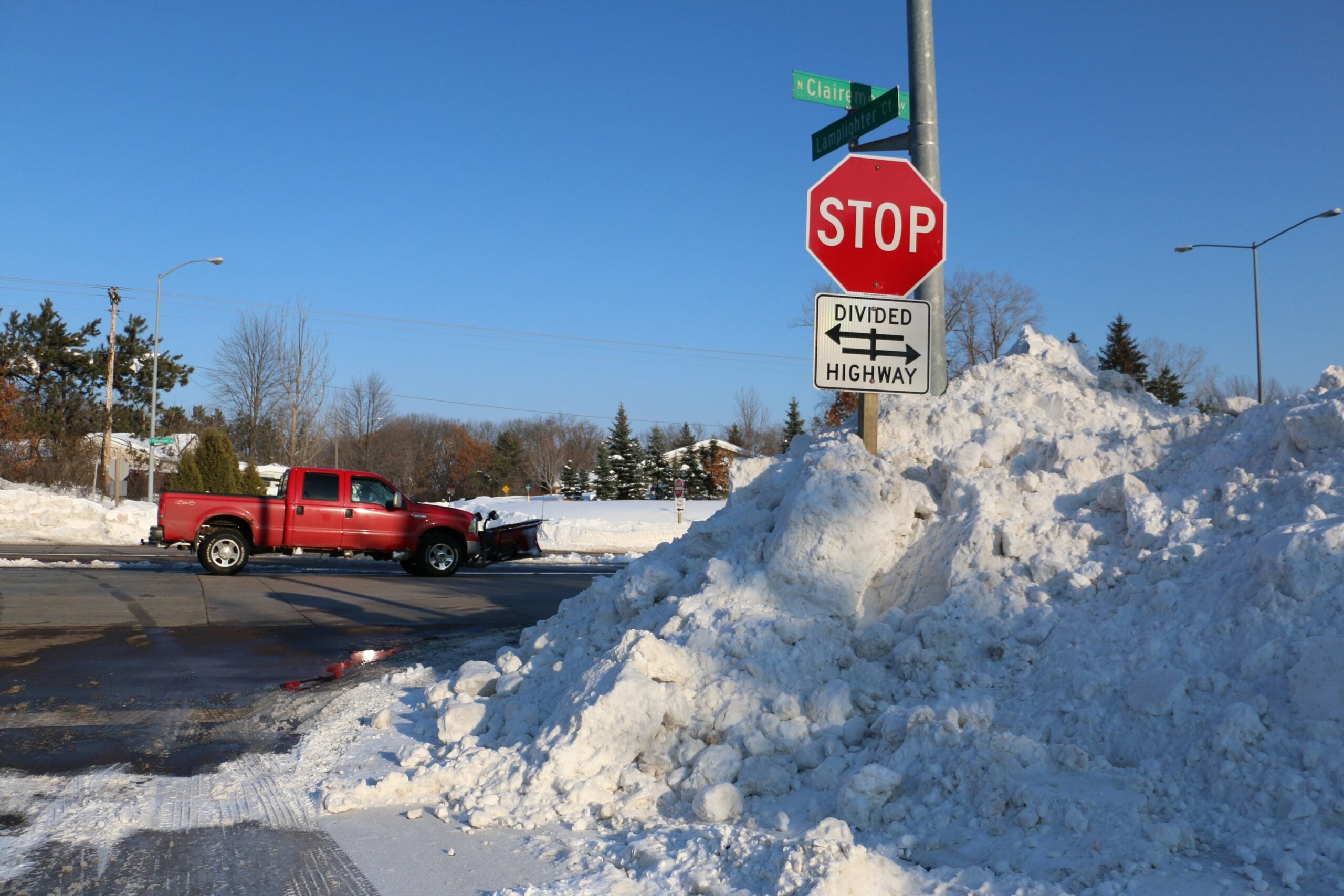
Areas of Wisconsin, including Superior, see massive amounts of snow in February. Danielle Kaeding/WPR
Miller said February is not typically a snowy month.
“A lot of times in February, the storm track is south of the Upper Midwest, tracking from the Central and Southern Plains into the Ohio and Tennessee Valley and the Mid-Atlantic region,” he said.
Miller said the increased snowfall started with a pattern of colder temperatures that settled on the region in mid-January.
Ed Hopkins, assistant state climatologist with the Wisconsin State Climatology Office, said the snowfall is defying forecasts of a relatively warmer and drier El Niño winter.
“The beginning of the winter season, the first month-and-a-half or so was relatively small amounts of snow and we were sort of running behind schedule,” said Hopkins. “But, then, in the last four weeks — almost three, four weeks — we really shot up.”
For example, Hopkins noted the Eau Claire area was about 10 to 11 inches below the 30-year average snow accumulation in mid-January. However, the city is now about 18 inches above the long-term average. Madison is almost 1 foot above the 30-year average.
Hopkins said the El Niño event has been slower to develop, adding the last month has been extremely cold in the western half of the U.S. with warmer weather in the southeastern part of the country.
More cities could be posed to set records for the month or season with another storm on the way this weekend. Miller said another storm could bring up to 1 foot or more of snow to central and northern Wisconsin beginning on Sunday.
February Snow Totals
- Duluth/Superior: 33.5 inches; 33.9 inches in 1939.
- Eau Claire: 33.7 inches; previous record 28.2 inches in 1936.
- Wausau: 39.1 inches; previous record 28.4 inches in 1962.
- Rhinelander: 33.2 inches; record 39.5 inches in 1937.
- La Crosse: 26.8 inches; record 31 inches in 1959.
- Green Bay: 20.6 inches, 30.2 inches in 1890.
- Madison: 21.2 inches; 37 inches in 1994.
- Milwaukee: 16.8 inches; 42 inches in 1974.
Data provided by National Weather Service offices and cooperative observer networks.
Wisconsin Public Radio, © Copyright 2024, Board of Regents of the University of Wisconsin System and Wisconsin Educational Communications Board.


