A now completed report confirms what researchers revealed last year: high-capacity wells in the Central Sands region of the state are affecting the water flow in the Little Plover River.
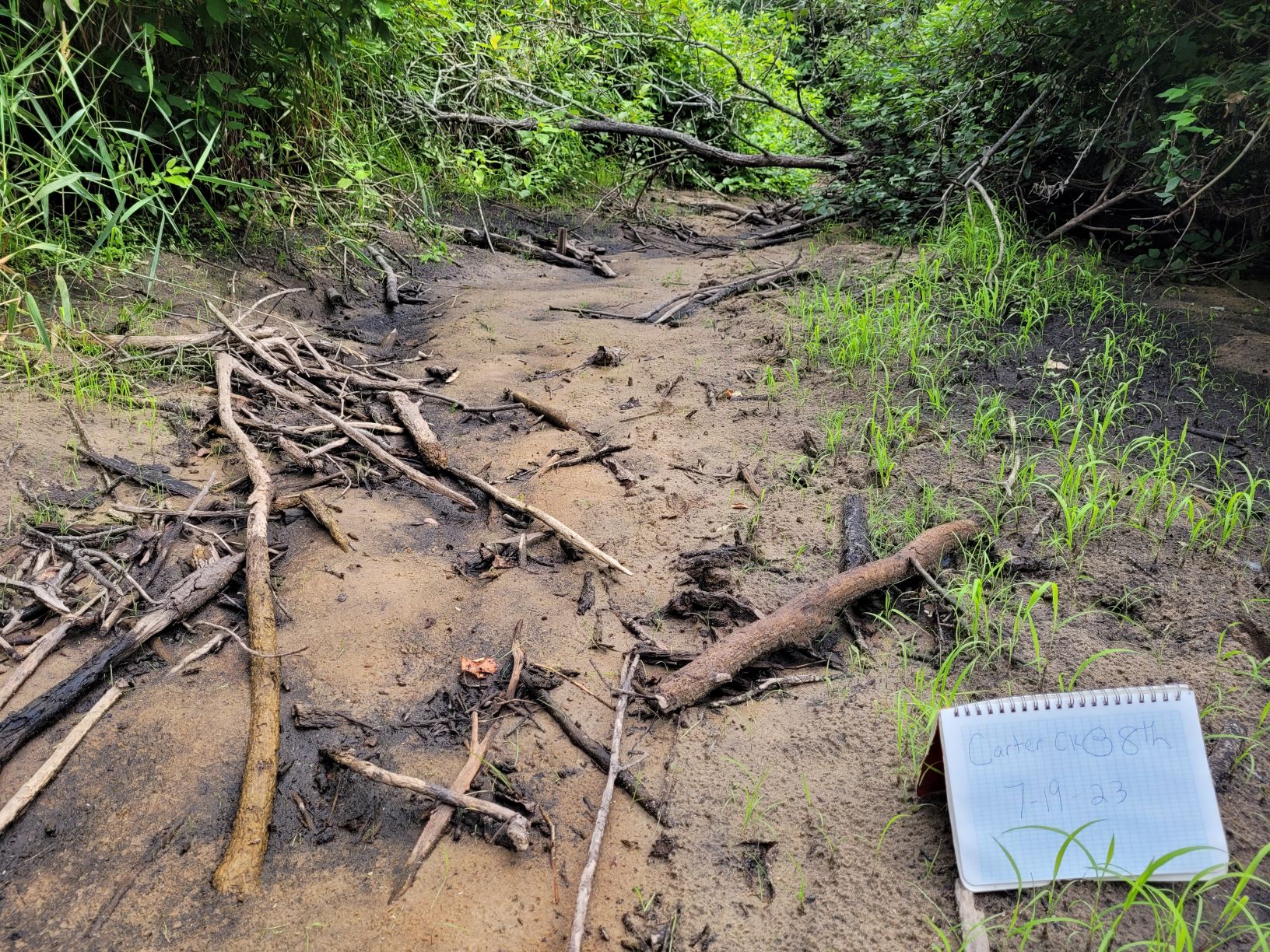
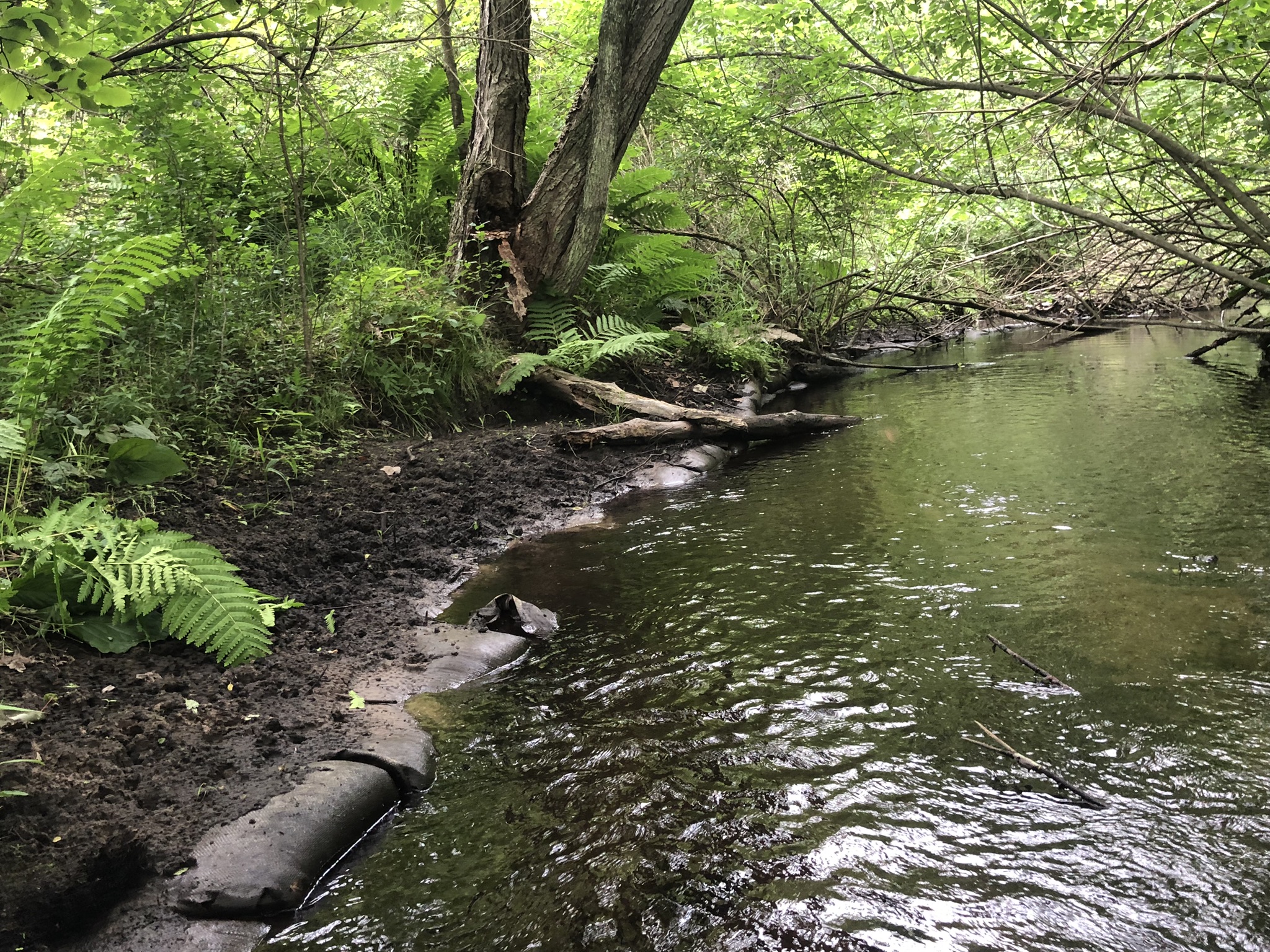
The Class 1 trout stream — which begins near Plover and flows into the Wisconsin River — has dried up several times, starting in 2005.
One of the report’s authors, state geologist Ken Bradbury said the river’s problems are tied to an increase in high-capacity wells.
Stay informed on the latest news
Sign up for WPR’s email newsletter.
“It never went dry as far as anyone knows prior to the late 2000s,” Bradbury said. “Really the only and most obvious reason for that is the large number of high-capacity wells that are nearby and in that watershed now that weren’t there in the past.”
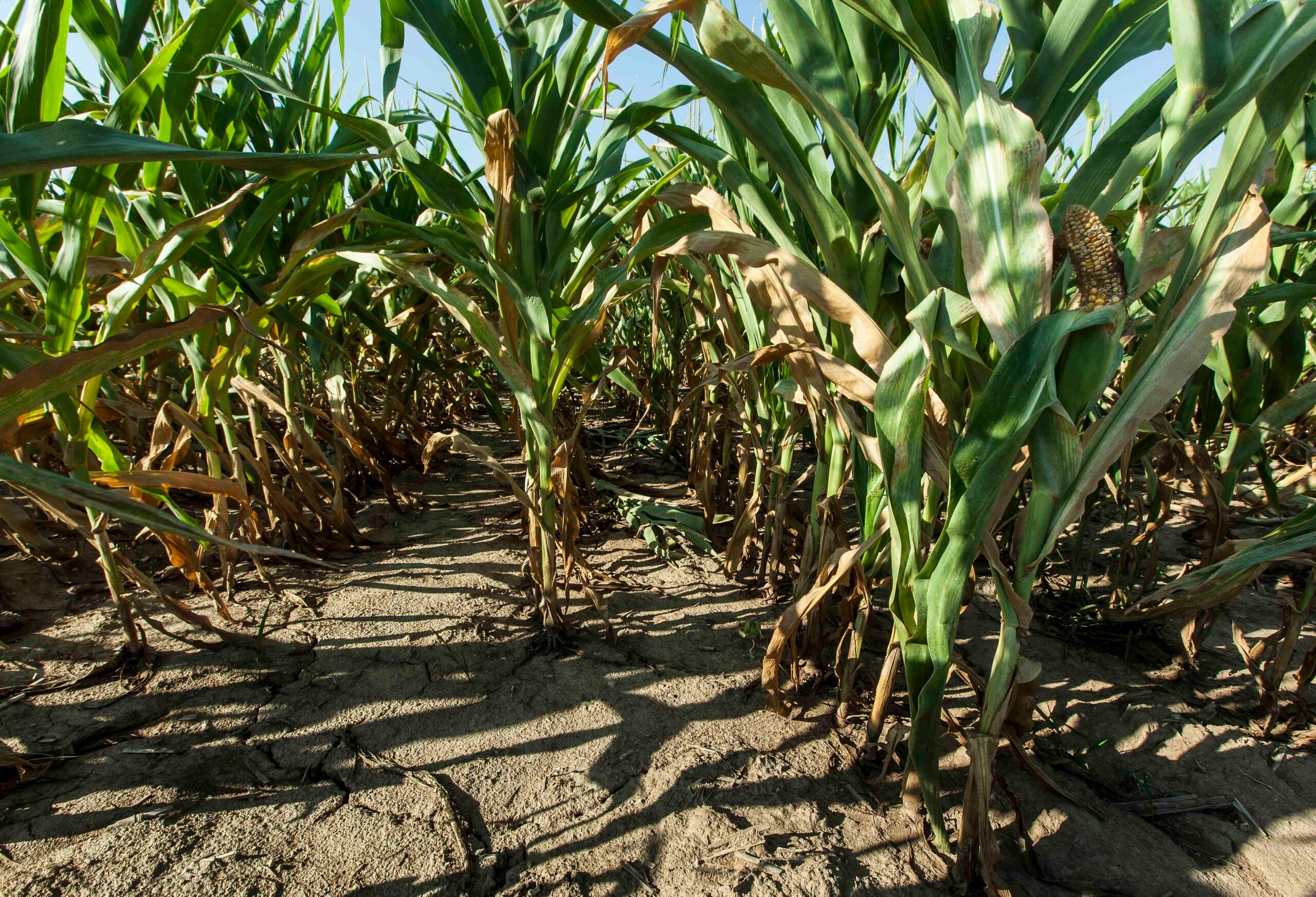
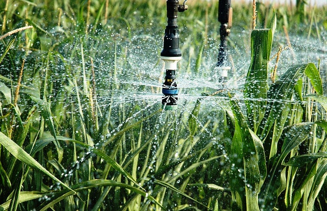
There were just 120 high-capacity wells in the Central Sands region in the 60s. There are more than 2,800 now, according to the Wisconsin Department of Natural Resources.
The completed report released this week shows the closer a high-capacity well is to the river, the more it affects the water flow.

Ken Bradbury talks about his research on high-capacity wells and the Little Plover River at the University of Wisconsin-Stevens Point in April 2016. Glen Moberg/WPR
“The model shows that pumping wells near the river do and have impacted flows in the river. Some of them are irrigation wells, and some of them are municipal wells,” said Bradbury, director of the Wisconsin Geological and Natural History Survey, which conducted the study.
Bradbury said the groundwater flow model is a state-of-the-art scientific tool that could guide decisions on where to place new wells or retire existing ones in order to minimize the impact on the river.
“The Little Plover River is about a 21-mile watershed. It was once a great little trout fishery,” he said. “I’m not sure there are any trout left in it now, though.”
The report is the result of a three-year study by the Wisconsin Geological and Natural History Survey, and the U.S. Geological Survey.
The groundwater flow model was commissioned by the DNR, and the Wisconsin Potato and Vegetable Growers Association contributed funding and information to the study.
Preliminary findings from the study were revealed a year ago at the University of Wisconsin-Stevens Point.
Wisconsin Public Radio, © Copyright 2024, Board of Regents of the University of Wisconsin System and Wisconsin Educational Communications Board.