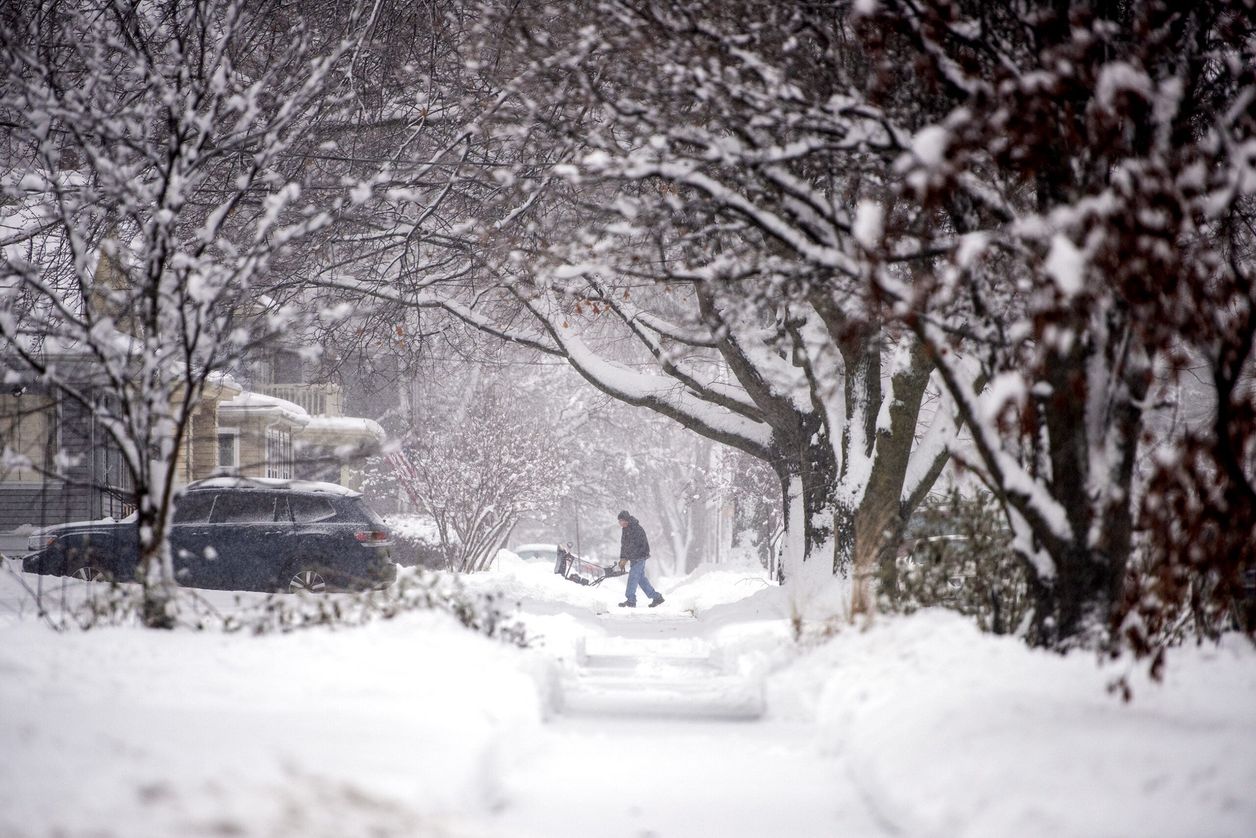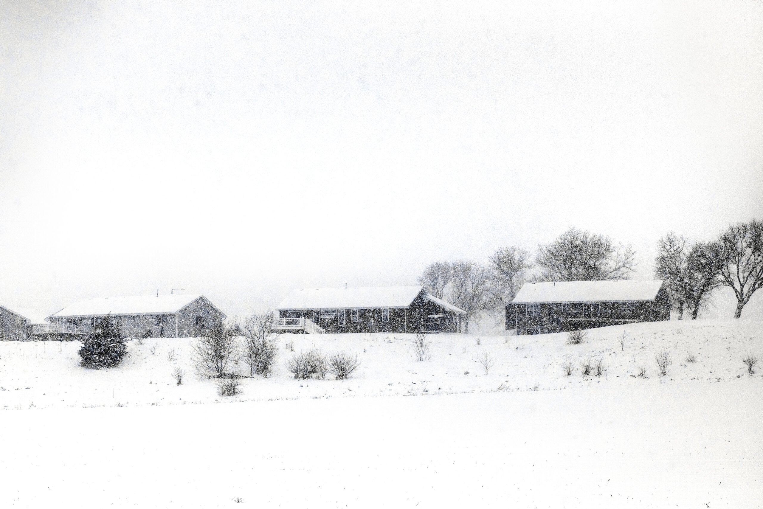
After a few days of mostly clear skies and warmer temperatures, Wisconsin is set to get two rounds of snow and wintry mix over the weekend.
Forecasters expect the first round to bring light snow, sleet and freezing rain — and potentially icy roads — Friday night through late Saturday.
“Then by tomorrow night we should be switching back over to snow; we’ll probably see some heavier snow with that,” said meteorologist Logan Lee of the National Weather Service-La Crosse.
Stay informed on the latest news
Sign up for WPR’s email newsletter.
Traveling Saturday morning? Ice forecasts increased (1/10″ to 1/4″) across SW WI and far NE IA. Details here, plan for hazardous travel. pic.twitter.com/wcWgiAfRIk
— NWS La Crosse (@NWSLaCrosse) February 22, 2019
Some parts of northern Wisconsin could see up to 10 inches of snow Sunday, with lesser accumulations likely further south.
But meteorologist Geoffrey Grochocinski of the National Weather Service-Duluth said there could be complications for drivers even after the heavy snow wraps up.
“We’re talking about 15-20 mile per hour winds with gusting of 30 to 40, maybe even higher,” Grochocinski said. “Those are some pretty strong winds, that will also be bringing some much colder air, going Sunday into Sunday night.”
An active weather system has brought a long series of winter storms to the state, with many areas seeing record amounts of snow for February.
Two rounds of snow will affect the Northland into this weekend. Tomorrow, light snow moves in from the west. Saturday night into Sunday, a winter storm could potentially bring snowfall to the Northland. Heaviest snow will likely be over Northern Wisconsin. #mnwx #wiwx pic.twitter.com/4R7fORu7cO
— NWS Duluth (@NWSduluth) February 21, 2019
There may be more to come, too. Grochocinski said there was a possibility of another round of snow in some parts of the state Tuesday — unwelcome news for those hoping to get a longer break from ice and snow.
“I certainly would love that,” Grochocinski said, laughing. “I think most of us here are getting tired of shoveling our snow every other day.”
Light wintry mix late tonight/Sat morning. Heavy snow/rain and wintry mix Saturday night into Sunday. Hazardous travel is expected. #wiwx pic.twitter.com/RpYD81EWxJ
— NWS Green Bay (@NWSGreenBay) February 22, 2019
Wisconsin Public Radio, © Copyright 2024, Board of Regents of the University of Wisconsin System and Wisconsin Educational Communications Board.