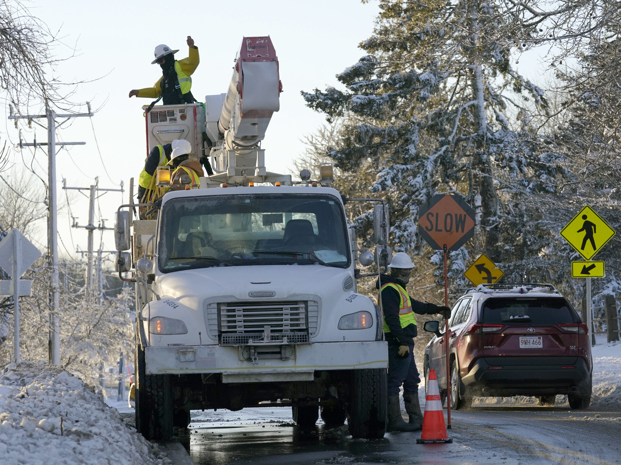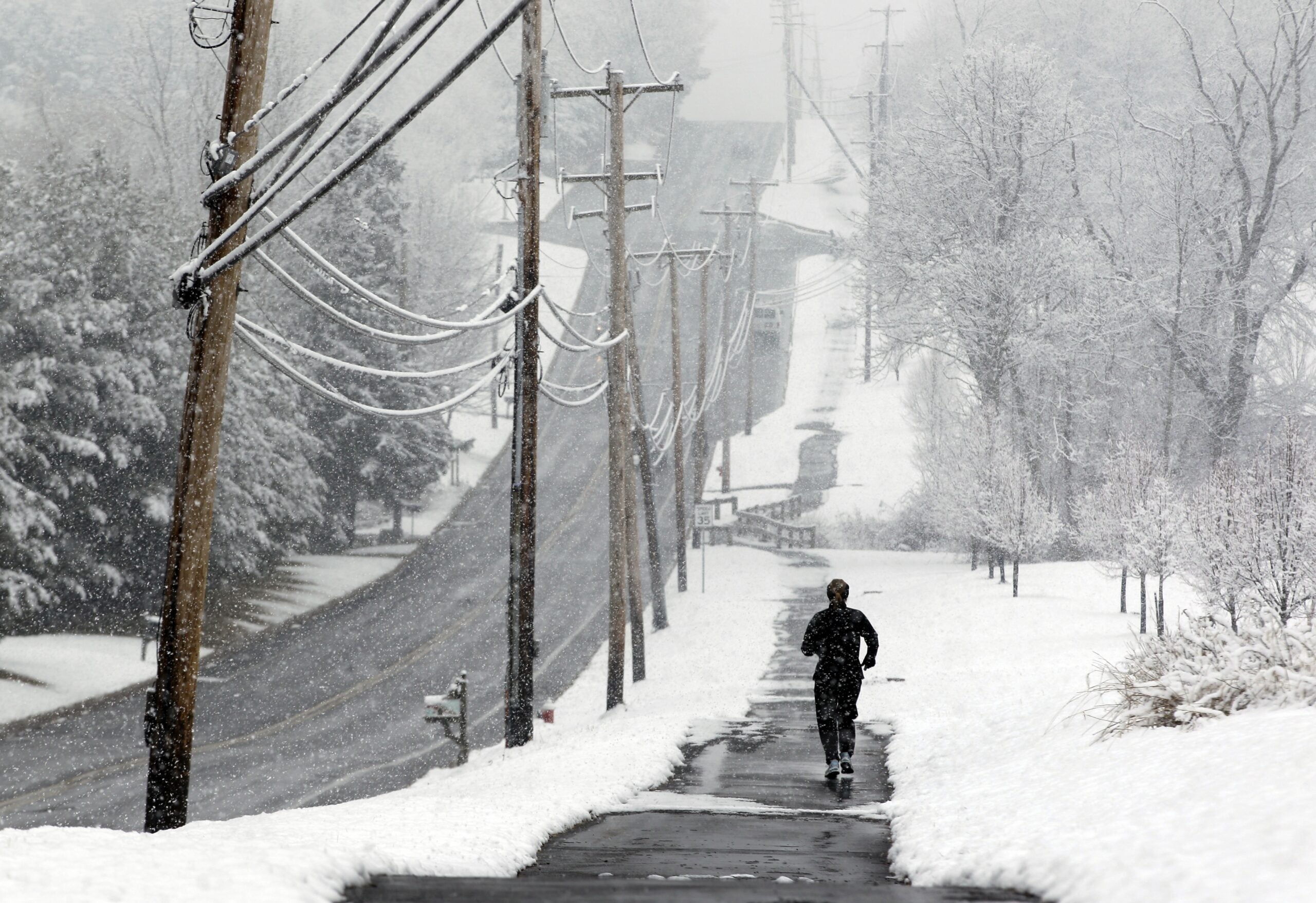
After several days of warm spring weather, snow, sleet and cold rain are moving back through Wisconsin.
Northern parts of the state could see up to a foot of accumulation between Wednesday evening and Friday morning, with the heaviest snow falling during the day Thursday.
Meteorologist Justin Schultz of the National Weather Service in Duluth said at its peak, the storm could bring a half inch to an inch of snow an hour to the region, approaching but not reaching blizzard conditions.
Stay informed on the latest news
Sign up for WPR’s email newsletter.
He also said wind gusts could lead to blowing or drifting snow, especially from the very high winds coming off Lake Superior.
“These northeast winds will be persistent pretty much tonight through the day Thursday,” Schultz said. “We could see wind gusts in excess of 45, 50, maybe even closer to 55 or even 60 miles per hour.”
Large waves may create havoc again near the western tip of Lake Superior. This time the waves will contain chunks of ice which will exacerbate beach erosion and damage. Be careful around the lake, and watch for lofted ice. #mnwx #wiwx #LakeSuperior pic.twitter.com/oZis8rEXsJ
— NWS Duluth (@NWSduluth) April 10, 2019
Schultz said the Twin Ports area could see waves of 15 feet or more crashing on the lakeshore.
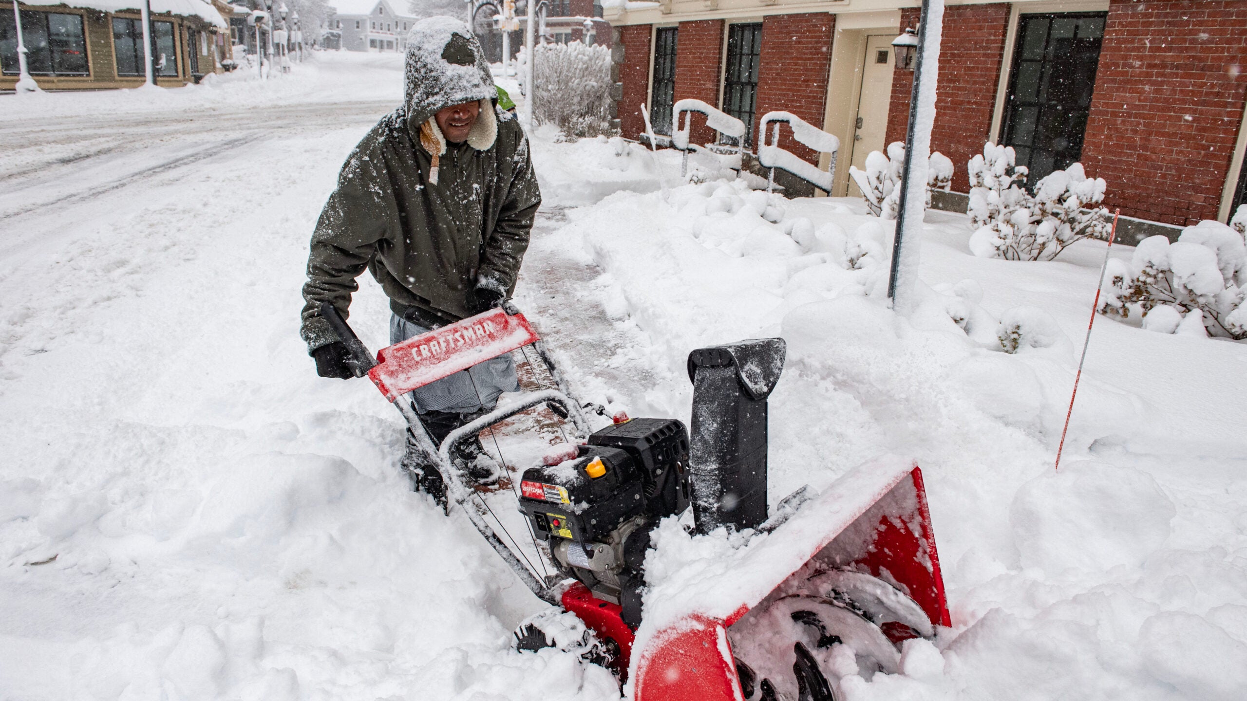
Central Wisconsin is more likely to see 4 to 6 inches of snow, with 1 to 3 inches further south.
Dan Jones of National Weather Service in La Crosse said that’s due to warmer air moving into the southwest.
“That will be pretty much all rain as far as precipitation type goes there,” Jones said. “So they’re going to have lesser snowfall amounts.”
1 to 2 inches of liquid precipitation through Thu PM and a couple inches of snow north of I-94 tonight. #swiwx #wiwx pic.twitter.com/M3HcEd21Ol
— NWS Milwaukee (@NWSMKX) April 10, 2019
The storm may linger into Thursday night or Friday morning, before giving way to dry, warmer conditions.
Wisconsin Public Radio, © Copyright 2024, Board of Regents of the University of Wisconsin System and Wisconsin Educational Communications Board.