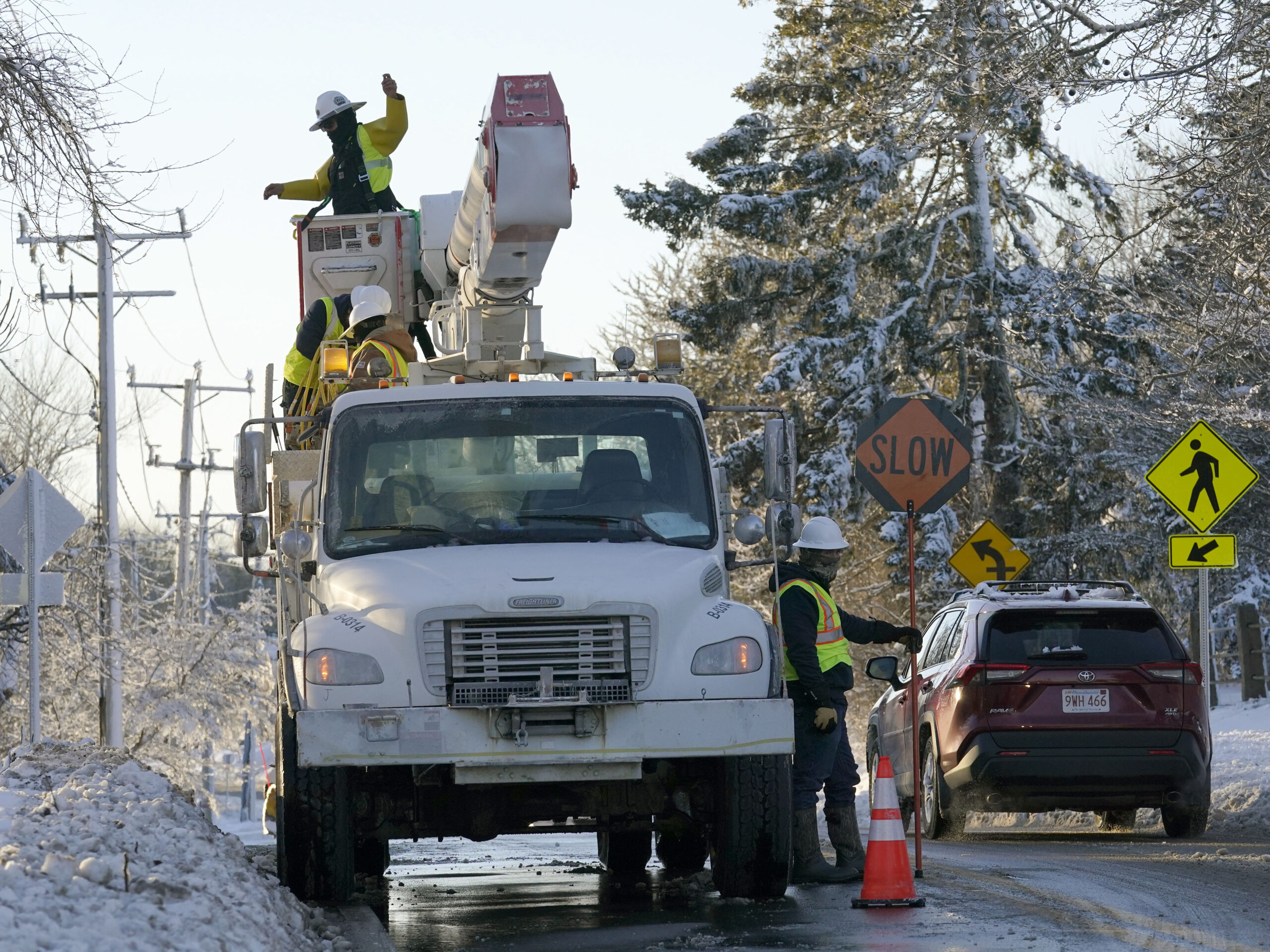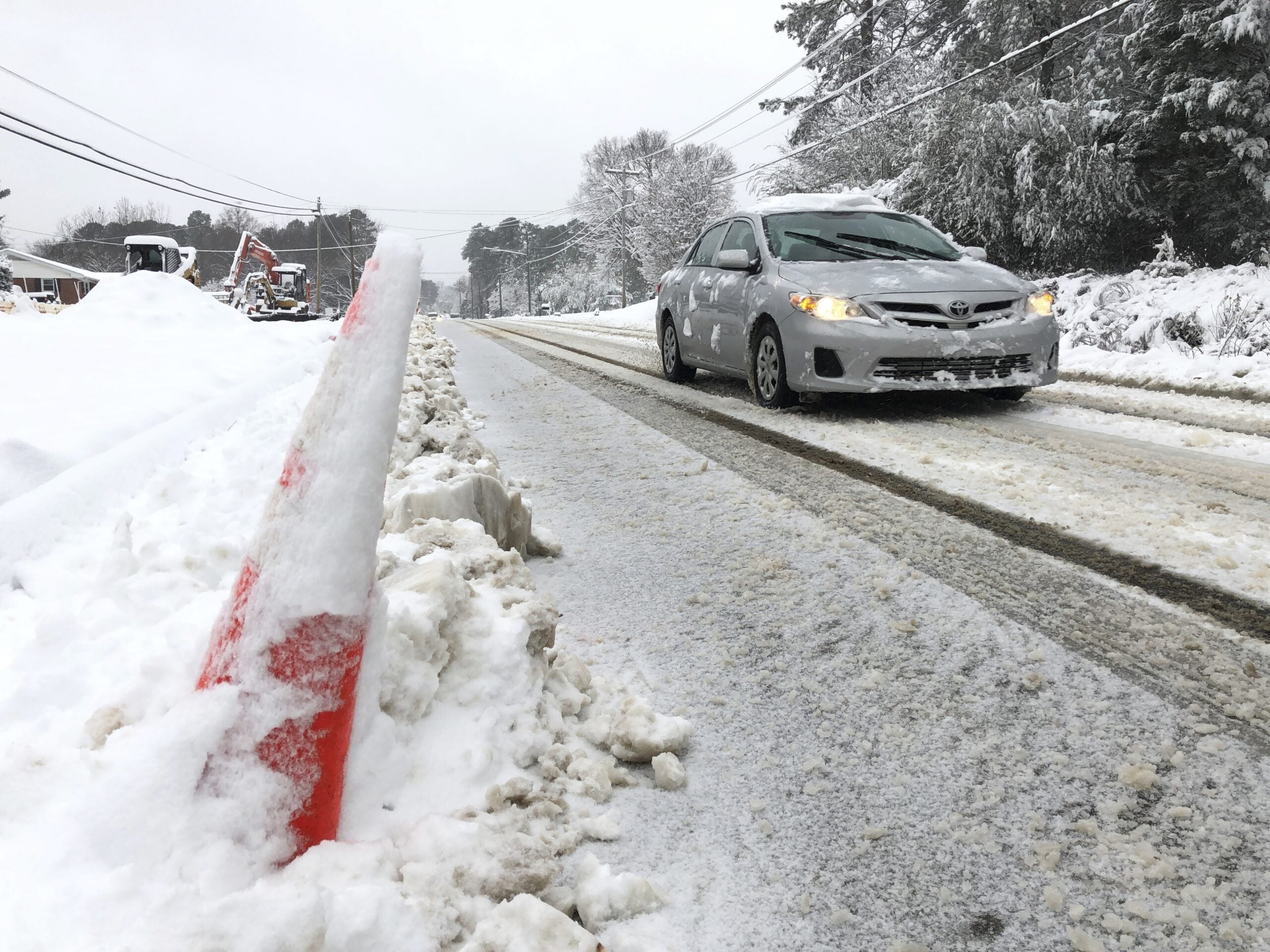
Another round of freezing rain, sleet and snow is moving into Wisconsin and could drop up to 7 inches on the northern part of the state.
The National Weather Service has issued a winter weather advisory from Wednesday night through Thursday with freezing rain and sleet expected in southern Wisconsin and mostly snow predicted farther north.
A winter storm will bring heavy snowfall to the Northland tonight through Thursday. Windy conditions near Lake Superior will lead to blowing snow at times. #mnwx #wiwx pic.twitter.com/0a32HtB2EL
— NWS Duluth (@NWSduluth) February 6, 2019
Stay informed on the latest news
Sign up for WPR’s email newsletter.
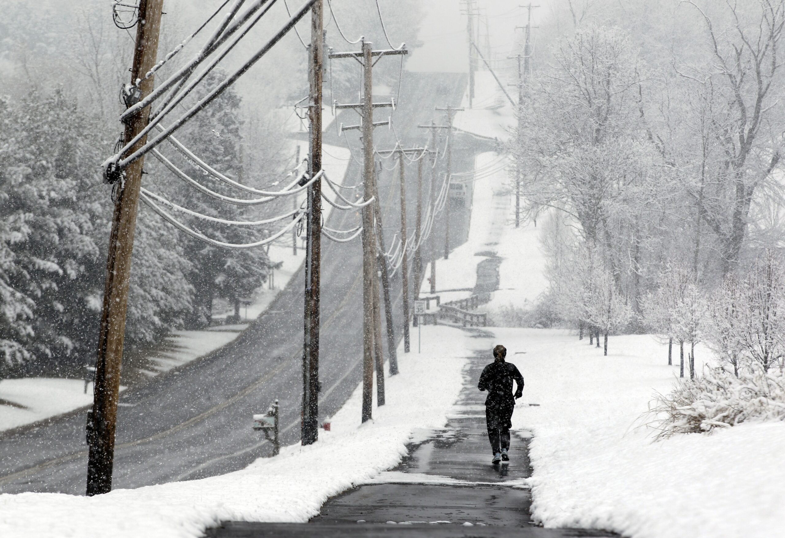
The first wave of precipitation had reached the state Wednesday afternoon, said Ben Miller, a meteorologist at the National Weather Service office in Milwaukee.
“It’s actually already starting in far southwest Wisconsin,” Miller said. “They’ve got a wintry mix going on there right now and things will spread kind of northeast across the state through the remainder of the evening hours. And then once it gets going across the north, it will pretty much stay precipitation going all night long and into tomorrow.”
The greatest risk for ice accumulation will be along a line from Lafayette County northeast to Sheboygan and Fond du Lac counties. The weather service said up to a quarter of an inch of ice is possible in those areas.
Ice and snow accumulation forecasts. #swiwx #wiwx pic.twitter.com/7luNXSWKHH
— NWS Milwaukee (@NWSMKX) February 6, 2019
Miller said things will warm up enough in Milwaukee on Thursday to minimize any ice or sleet accumulation.
“The Milwaukee metro area and that general vicinity are going to warm up above freezing tomorrow,” Miller said Wednesday. “So, they’ll actually switch to just plain rain for a good portion of the day tomorrow. So, that’ll lessen the effects of anything that happens this evening and overnight.”
According to the weather service, there will be a break in the weather overnight Wednesday followed by another band of precipitation on Thursday morning.
Wisconsin Public Radio, © Copyright 2024, Board of Regents of the University of Wisconsin System and Wisconsin Educational Communications Board.