The National Weather Service says snowy conditions are expected to continue in southeastern Wisconsin.
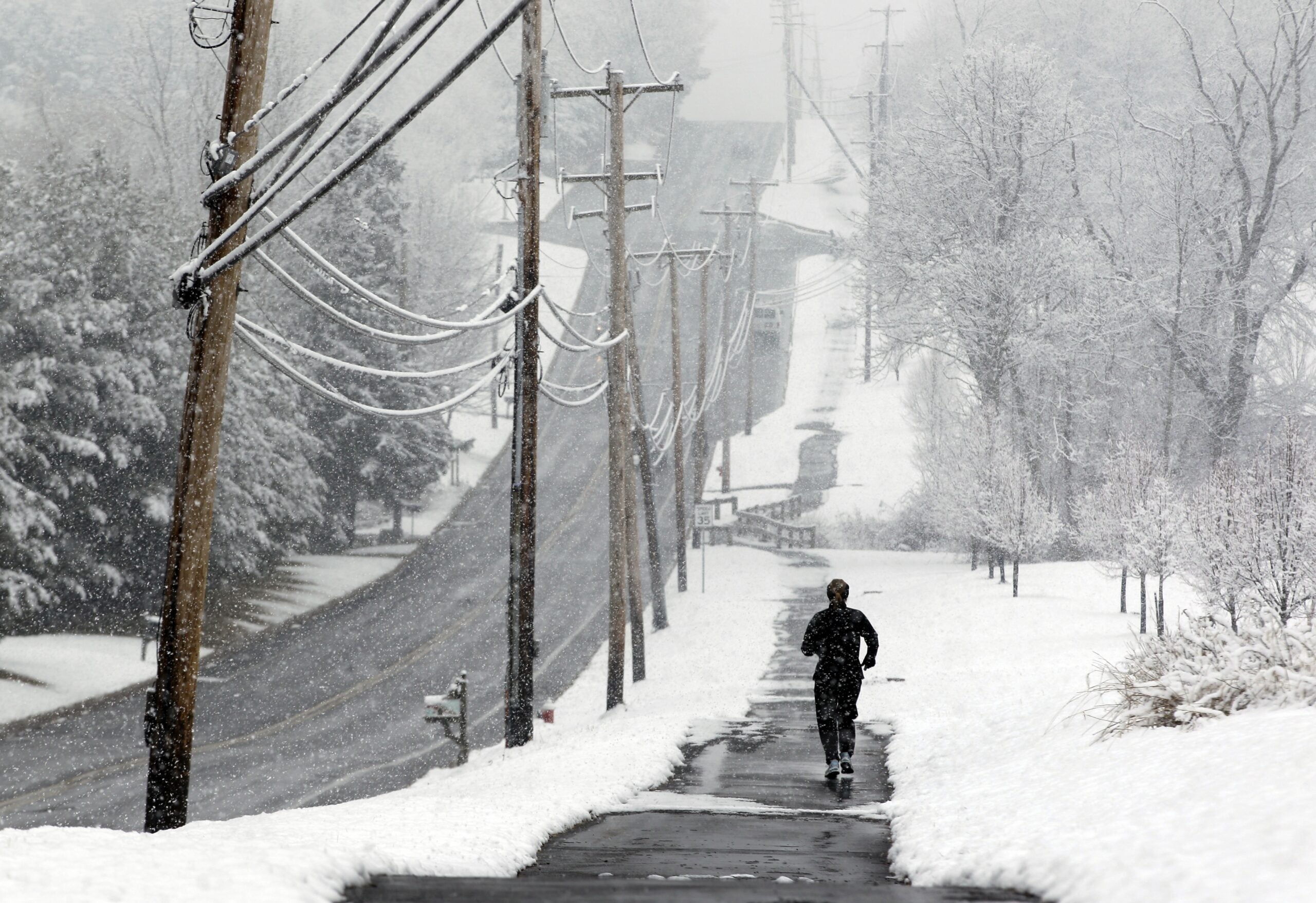
The Milwaukee Journal Sentinel reports that most of the Milwaukee area was blanketed in 3 to 5 inches by Sunday. Accumulations vary from 3 to 8 inches in the region, with more snow near Lake Michigan, in east-central Wisconsin and in the Sheboygan area.
The weather service is also warning people to prepare for snow Monday. It’s predicting between 1 and 4 inches in the southern half of the state, with the most snowfall happening during the afternoon and evening, and along the Wisconsin-Illinois border.
Stay informed on the latest news
Sign up for WPR’s email newsletter.
Winter weather advisories have been issued for Monday afternoon and evening.
855pm – Winter Weather Advisory expanded into #Milwaukee and #Madison metros for tomorrow. Prepare for potentially hazardous travel conditions during the afternoon and evening commutes. #swiwx pic.twitter.com/KKcRA65XgT
— NWS Milwaukee (@NWSMKX) February 5, 2018
Once the snow stops, stay bundled up.
According to the weather service, very cold temperatures began Sunday night and will last throughout the week. Most days this week, expect high temperatures in the Milwaukee area below 25 degrees and lows in the single digits overnight. Wind chills from 10 to 22 below are expected into Monday morning.
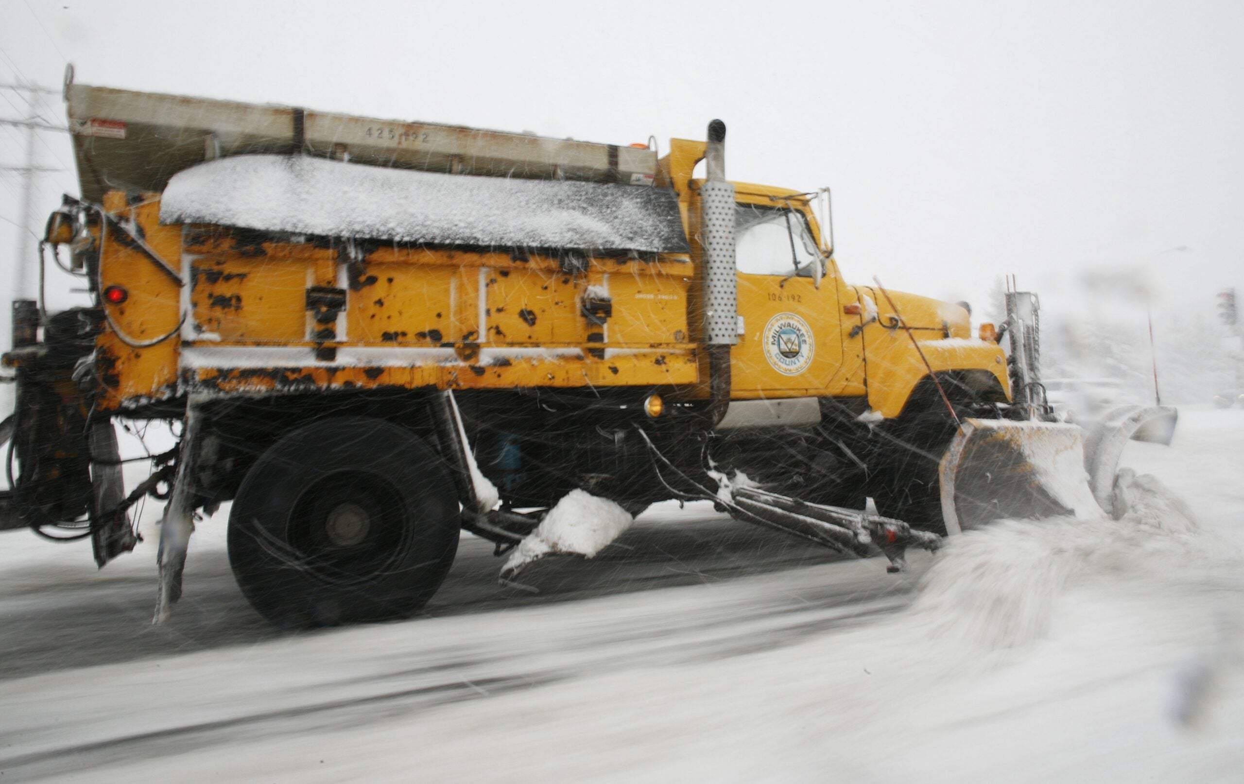
Across southern Wisconsin, there were numerous reports of crashes on local roads and temporary freeway closures.
Wisconsin Public Radio, © Copyright 2024, Board of Regents of the University of Wisconsin System and Wisconsin Educational Communications Board.