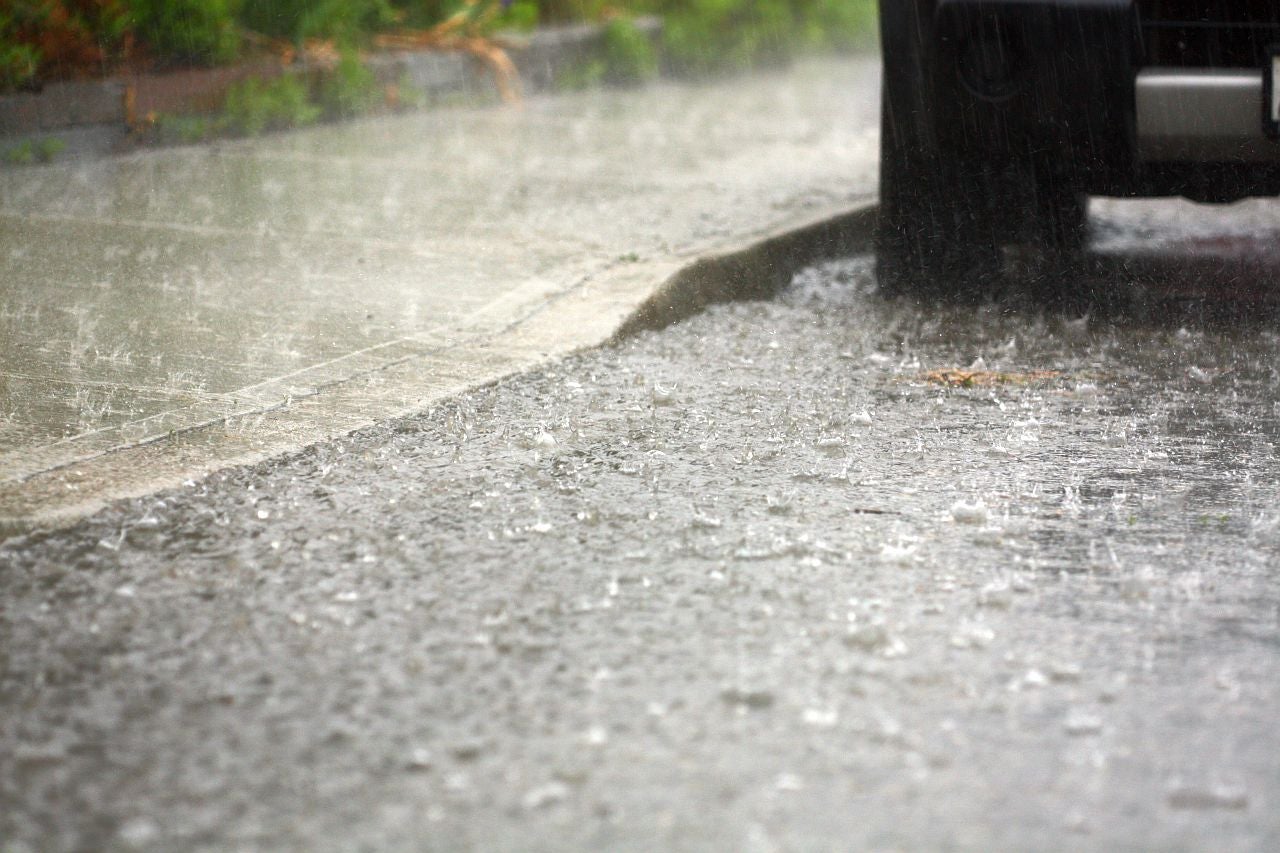
More rain is headed for Wisconsin on Tuesday and Wednesday after two weeks of storms have ravaged the southern and central parts of state.
Ben Miller, a meteorologist with the National Weather Service in Sullivan, said the heavy rain is expected for west central Wisconsin and up to the north eastern part of the state.
“Thankfully, that area hasn’t had quite as much as what they’ve had further to the south,” Miller said. “Kind of the overall average for rainfall across the rest of the state outside that heavier band is gonna be kind of a half an inch to an inch by the time things come to an end later tomorrow.”
Stay informed on the latest news
Sign up for WPR’s email newsletter.
The end of the week and into the weekend is expected to be dry for Wisconsin, with storms moving through Iowa and northern Illinois instead, thanks to a cold front expected to move through the state after thunderstorms Tuesday.
But Miller said some areas could see 2 to 4 inches of rain before that happens.
“The end of the week should be dry and then there’s some small chances in the southern third of the state over the weekend but again the best chances right now look to be across Iowa and northern Illinois.”
As of Tuesday evening, the state Department of Transportation was still cautioning drivers to avoid flooded highways, and reminded drivers never to drive through standing water or around barriers.
They recommended people continue to check 511wi.gov for information regarding statewide impacts, and up-to-date road closures.
The National Weather Service has extended a flood warning for Madison until Thursday afternoon after the area received more than an inch and a half of rain Saturday night through Sunday evening. Another 2 inches of rain could fall through Wednesday, according to the weather service, which could mean worsening flood conditions in some parts of the state.
Radar simulation storms expected later. Most activity ramps up after 6 pm. All of these storms will be VERY heavy rain producing. Dangerous flash flooding expected. Travel not advised overnight. #wiwx #iawx #mnwx pic.twitter.com/svHIOpMG9f
— NWS La Crosse (@NWSLaCrosse) September 4, 2018
There is a high risk (magenta colored area) of flash flooding tonight which could be potentially life-threatening for southeast Minnesota, and west-central and north-central Wisconsin. These areas will likely see widespread rains of 4 to 8 inches with locally higher amounts. pic.twitter.com/zDUVHDcHBf
— NWS La Crosse (@NWSLaCrosse) September 4, 2018
Flood warnings remain in effect for many rivers across the state, according to the Wisconsin Emergency Operations Center.
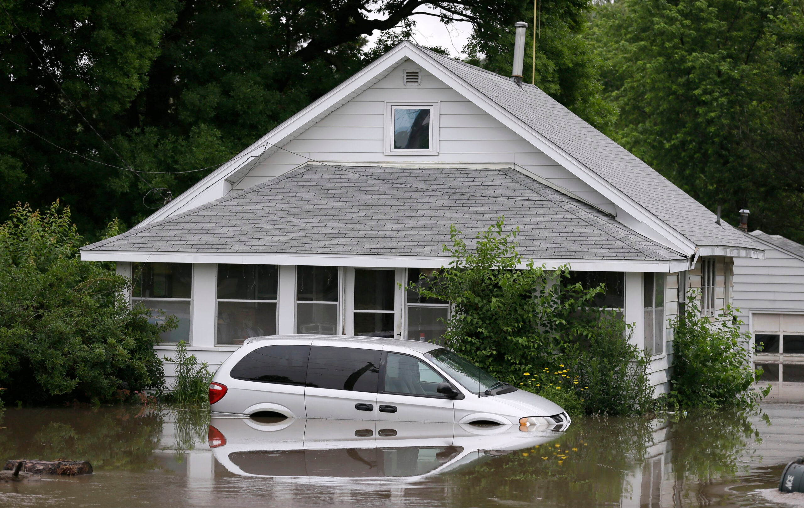
Authorities say there is major flooding along the Baraboo River near Baraboo, Reedsburg and Rock Springs. Moderate flooding on the Fox River was reported near Berlin. Both the Baraboo and Kickapoo rivers are falling after record crests.
Approximately 75 Wisconsin National Guard soldiers assisted the Wisconsin Department of Transportation on Sunday with filling sandbags in Columbia County and placing them along about a mile-long stretch of eastbound Interstate 90/94, near Wisconsin Highway 33 because rising floodwaters and more rain threaten to cover part of the highway and cause lane closures. There were single-lane closures in place in both the southbound and northbound directions of Interstate 39 near Portage on Monday because of water on the roadway. On Tuesday, both southbound lanes were open, but a single lane on I-39 northbound was closed.
Water levels of the four Yahara River lakes continued to rise over the weekend, and Madison police say flash flooding has closed several roads.
#HeavyRain today/tonight. Localized-widespread #flooding likely for some. Plan NOW. NEVER drive across flooded roads. #mnwx #iawx #wiwx pic.twitter.com/meyRtJQ67W
— NWS La Crosse (@NWSLaCrosse) September 4, 2018
Residents have been dealing with high water since heavy rain and tornadoes battered southern and central Wisconsin starting Aug. 20. In some locations, as much as 14 inches of rain have fallen, causing widespread flooding and leading to evacuations and road closures. The weather service confirmed an additional tornado in Fond du Lac County from storms Aug. 28, bringing the total to 17.
The city of Madison tweeted Monday that they will continue to allow residents to park their vehicles in city garages for free overnight through Friday. Parking is available from 9 p.m. to 7 a.m.
For more information about flooding in Madison, visit the city’s flooding information website.
Editor’s note: This story was last updated at 6:28 p.m. Tuesday, Sept. 4, 2018, with additional information from the state Department of Transportation. Hannah Haynes contributed to this report.
Wisconsin Public Radio, © Copyright 2024, Board of Regents of the University of Wisconsin System and Wisconsin Educational Communications Board.