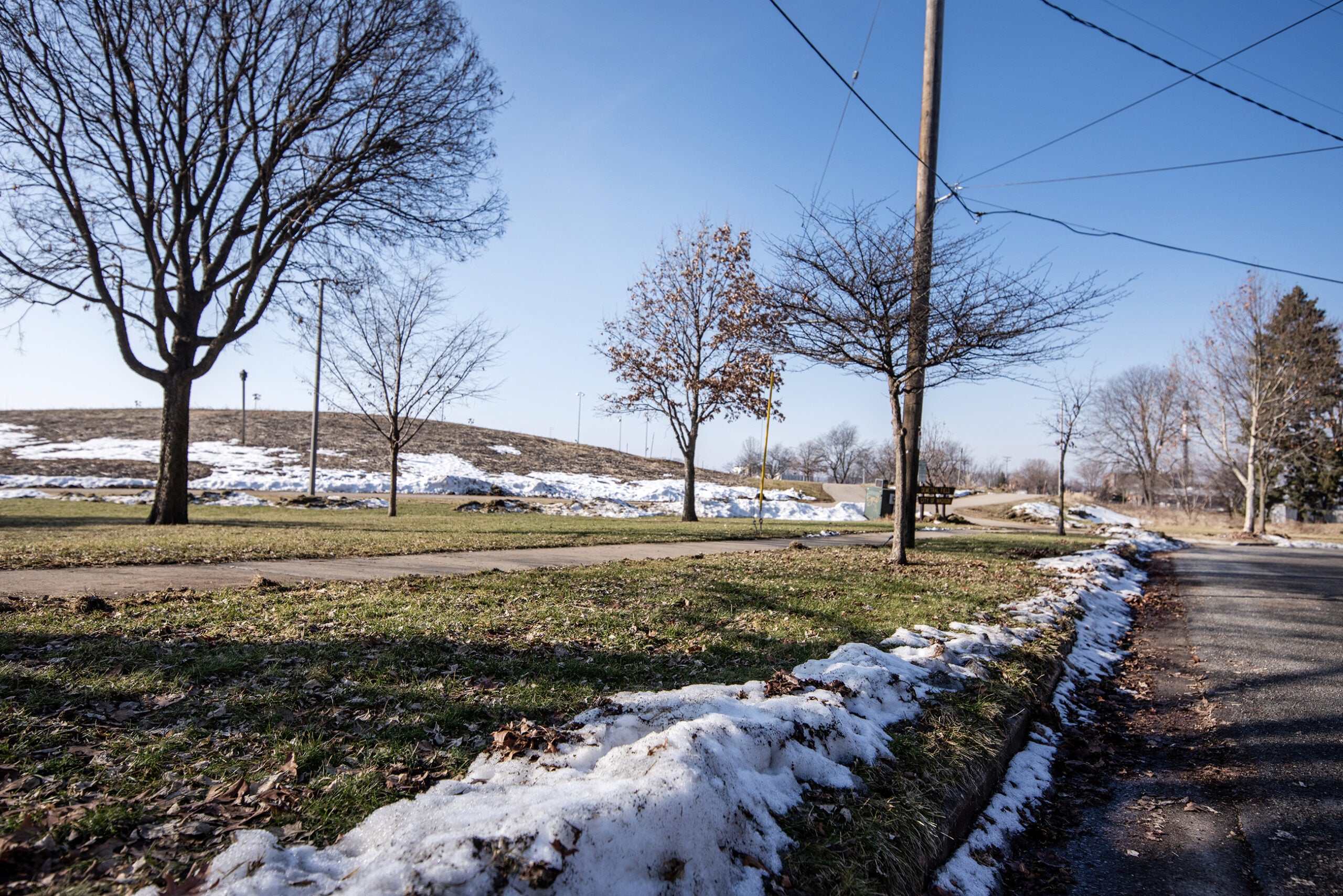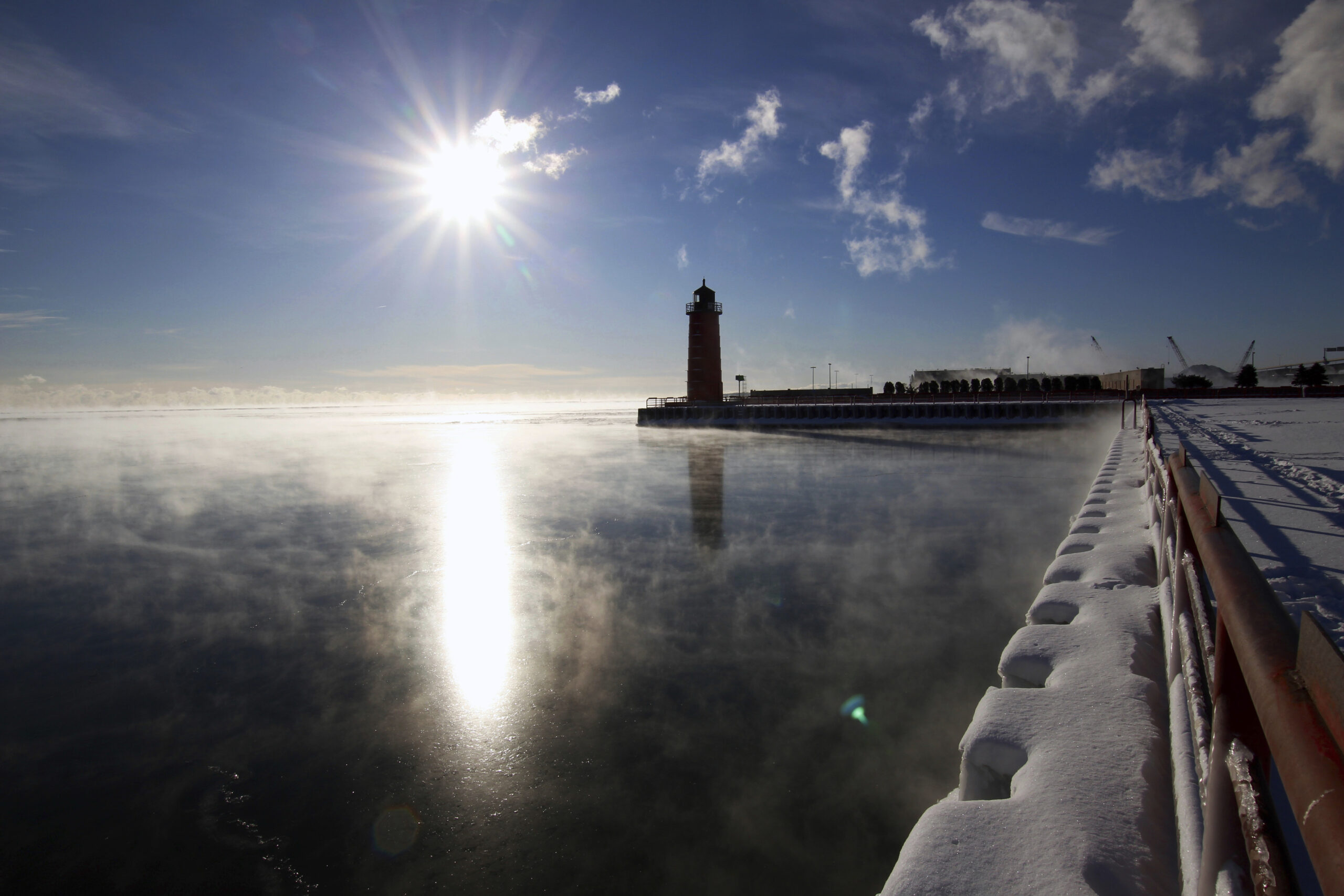
Temperatures are expected to plummet across Wisconsin on Monday and Tuesday, with some areas potentially seeing record lows.
Mid-July is normally one of the warmest times of the year. Nevertheless, atypical weather is moving in and temperatures are expected to be in the mid-to-low 60s for most of Wisconsin over the next two days. It’s expected to drop to the 40s and 50s at night.
“We have a system that’s developing in southern Canada that is drawing down a lot of colder air from mid-Canada on downward,” said Tim Halbach, a meteorologist with the National Weather Service (NWS) in La Crosse.
Stay informed on the latest news
Sign up for WPR’s email newsletter.
Halbach said that system will be pushing some near-record lows that are about 15-20 degrees below average.
Some have been referring to cooler temperatures as the ‘return of the polar vortex’, which grabbed headlines earlier this year for bringing bitterly cold temperatures during the winter. Halbach said that describing the current phenomenon as a polar vortex is a stretch, since it does not originate from the Arctic Circle.
“We’re just referring to it as a brief break for lower temperatures,” he said.
Bob McMahon, a senior forecaster with the NWS in Sullivan, said that the weather system “is simply an upper-level low.”
The temperature is expected to bounce back up to the 70s and 80s later in the week.
Wisconsin Public Radio, © Copyright 2024, Board of Regents of the University of Wisconsin System and Wisconsin Educational Communications Board.