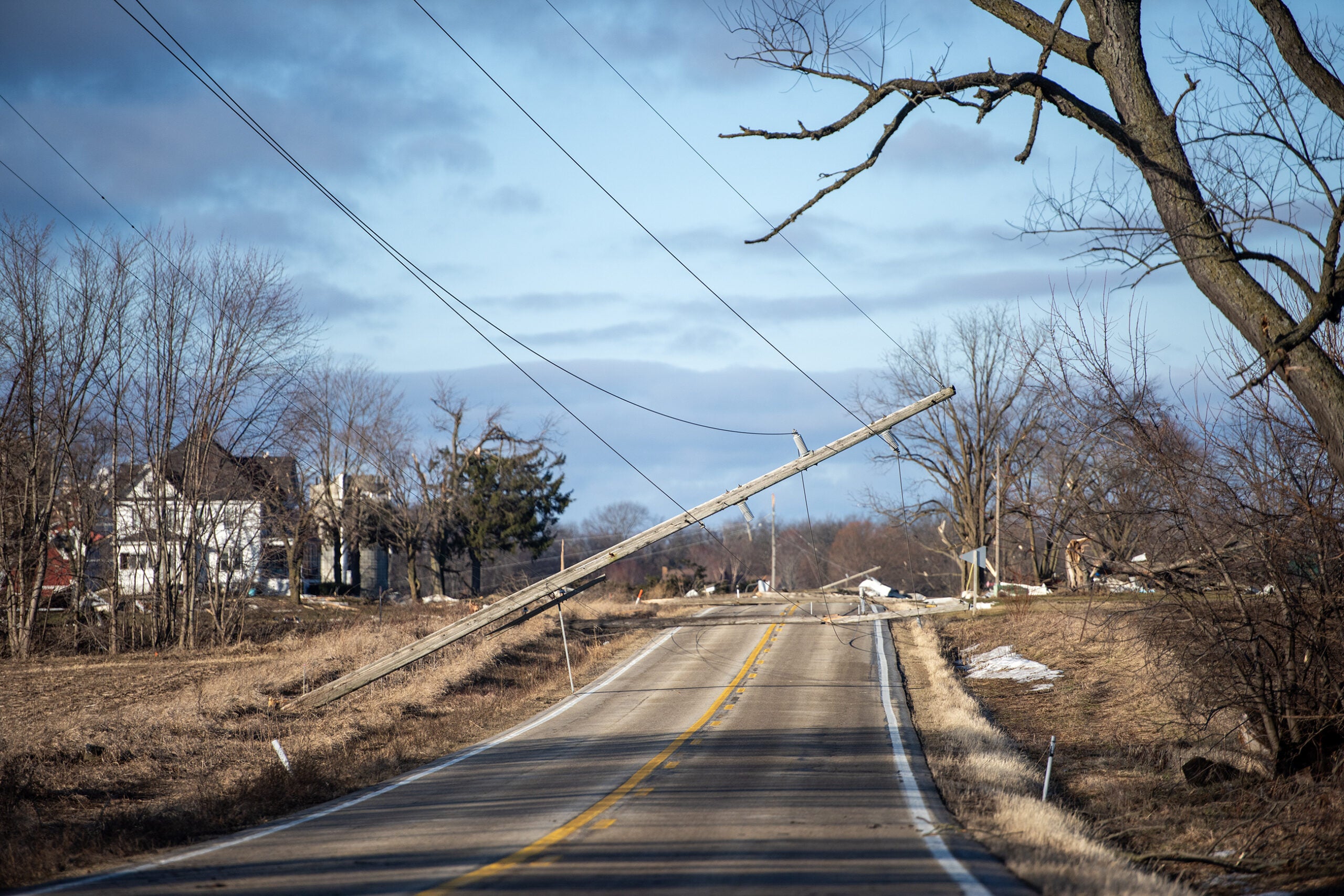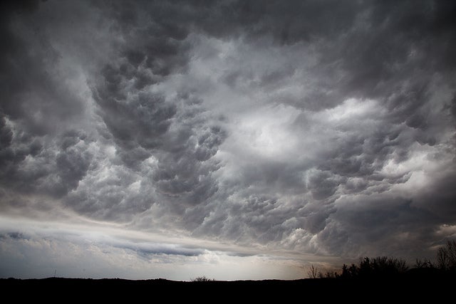
As the southern third of Wisconsin sweats through a heat advisory Tuesday afternoon, the National Weather Service is warning residents to be ready for another round of severe thunderstorms.
High temperatures and excessive humidity will push heat indexes between 95 and 105 degrees Tuesday afternoon in areas like Madison, Darlington, Janesville, Waukesha and Kenosha. The Weather Service has issued a heat advisory for the region until 7 p.m.
The Rock County Sheriff’s Office issued a press release Tuesday afternoon warning residents to watch for signs of heat exhaustion and has opened public libraries and other public buildings to serve as cooling centers and overnight shelters.
Stay informed on the latest news
Sign up for WPR’s email newsletter.
Mark Kavinsky, a meteorologist with the National Weather Service office in Sullivan, told WPR that heat and humidity is moving into the southern third of the state from northeastern Iowa.
“Right now, heat index readings are generally in the mid 80s to mid 90s across the south,” said Kavinsky late Tuesday morning. “Platteville has the highest heat index reading right now with 102. So, they’re really getting up there.”
In addition to the threat for severe weather, today is shaping up to be one of the hottest days of the year with heat index values above 100°F. Please limit your time outdoors, take frequent breaks, stay hydrated, check the back seat, and look after your pets. Stay safe! #wiwx pic.twitter.com/N40G0OEr6t
— NWS Milwaukee (@NWSMilwaukee) August 10, 2021
Kavinsky said that heat and humidity will linger until the early evening hours when a cold front is expected to move through the region. That is expected to spur thunderstorms in southwestern Wisconsin.
“And as the thunderstorms continue to move slowly eastward and southeastward through the evening hours, we’re expecting them to kind of change character and transition to bringing, perhaps, a greater threat for damaging winds,” Said Kavinsky.
At 12:30 p.m. the National Weather Service tweeted that “confidence remains high for severe storms” to develop. The main threat includes wind speeds of between 70 and 80 mph and hail up to 2 inches in diameter.
Meteorologist Jeff Boyne works for the National Weather Service office in La Crosse. He said there could be potential flooding in southern parts of the state that saw heavy rains during storms last weekend. But Boyne said the thunderstorms Tuesday evening are expected to travel faster than those that caused significant flash flooding on Saturday and Sunday.
Wisconsin Public Radio, © Copyright 2024, Board of Regents of the University of Wisconsin System and Wisconsin Educational Communications Board.