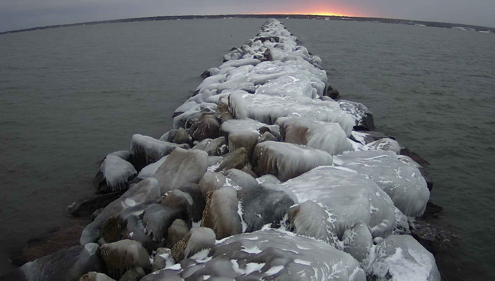
The Ashland Breakwater Light helped steer people safely ashore for a century. Now, the lighthouse is the site of efforts to collect real-time data on water quality and conditions in Lake Superior.
The Apostle Islands National Lakeshore received a roughly $90,000 grant through the Great Lakes Restoration Initiative last spring to support data collection at the lighthouse. Brenda Lafrancois, aquatic ecologist with the National Park Service, said the park service and the U.S. Geological Survey have been gathering information on a number of things from the Ashland Breakwater Light.
“Some of it is weather data, things like wind speed and direction, air pressure, air temperature, data on lake levels, data on the speed and direction of lake currents, and data on water quality,” she said.
Stay informed on the latest news
Sign up for WPR’s email newsletter.
A variety of monitoring equipment has been installed at the lighthouse since last summer. Lafrancois said the data they collect will help scientists better understand the impacts of extreme weather events like the July 11 storm last year.
“Let’s say we do see a big flood event like we saw last year in this area and again back in 2012. We see a big flood event like that and we see a big sediment plume and a plume of nutrients and potentially contaminants entering the lake,” she said. “These data are just to help us develop the models we need to predict where that water goes and what kinds of impacts it has on the lake.”
Lafrancois said the park service will also be able to monitor how rapidly ice melts in the Chequamegon Bay of Lake Superior. The GLRI grant will support data collection at the Ashland Breakwater Light through the spring of next year.
People can also view time-lapse images of the Ashland breakwall on the USGS website.
Wisconsin Public Radio, © Copyright 2024, Board of Regents of the University of Wisconsin System and Wisconsin Educational Communications Board.