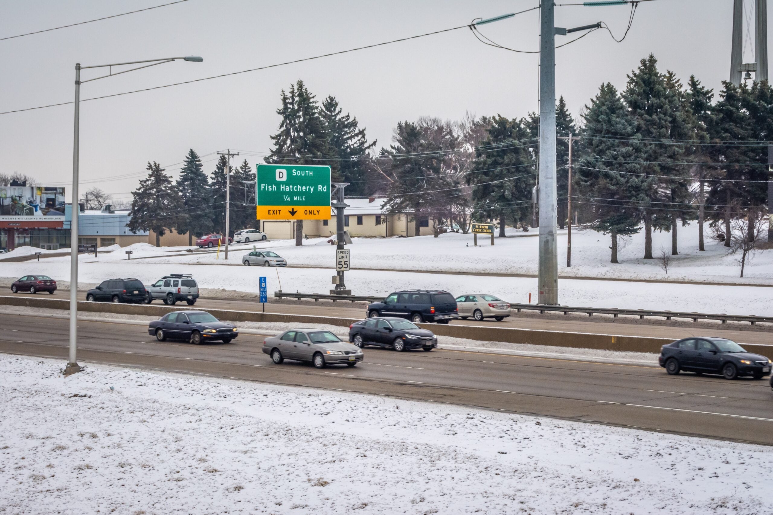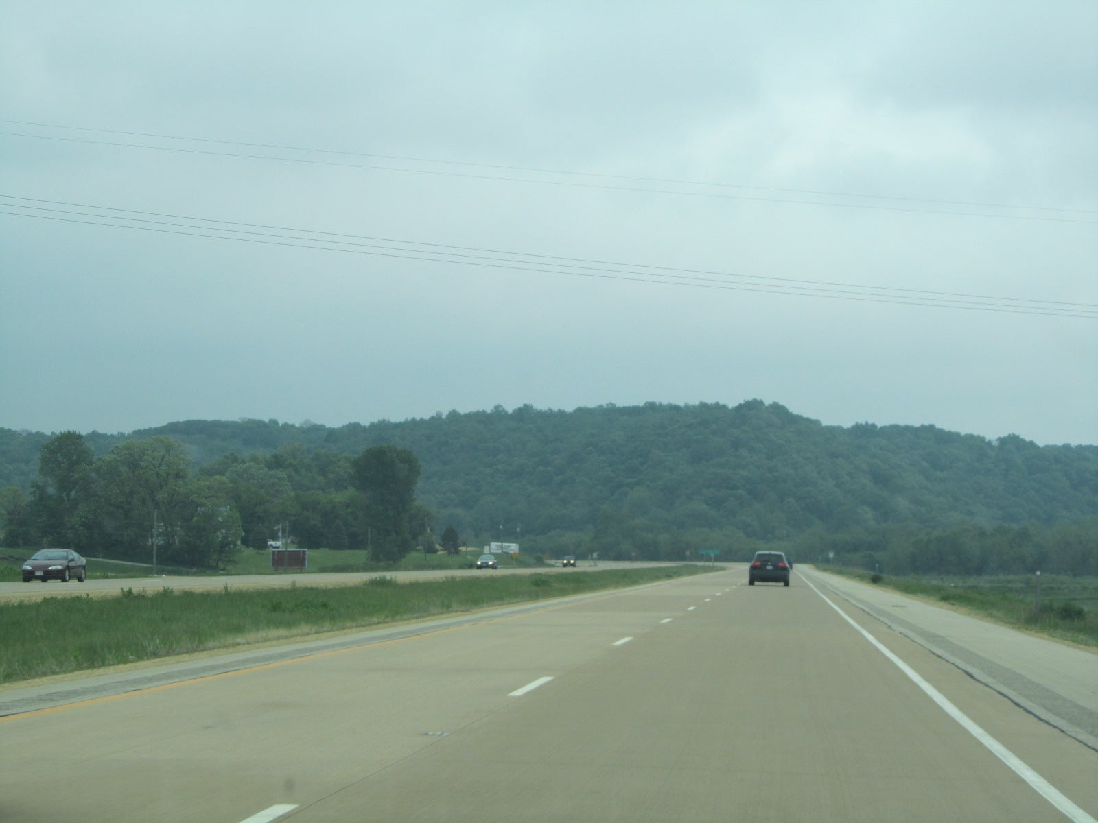
This month marks the beginning of the Wisconsin State Patrol’s aerial surveillance of the state’s highways.
Pilots from Milwaukee, La Crosse and Eau Claire will be watching the roads from their perch 1,000 feet in the air.
For more than 50 years the State Patrol has been using aircraft to monitor motorists. In the beginning, troopers in the sky used stop watches and sheets of paper to calculate vehicle speeds.
Stay informed on the latest news
Sign up for WPR’s email newsletter.
But now, there is radar, lasers and an automated system called VASCAR. Some motorists might have seen a part of this system while driving. White stripes near the shoulder perpendicular to the road act as queues for pilots to start and stop the timer. The VASCAR system then uses that data to calculate whether the driver is speeding.
State Patrol Sgt. Steve Tape is one of those pilots, and he said the planes are a valuable tool for law enforcement.
“We see so much more from the air than what you see from the ground level,” Tape said.
Pilots also watch for tailgating and reckless driving. When a violation is spotted, it’s reported to officers on the ground who make the actual stop. Tape said some people are caught off-guard when told they were caught by a plane.
“You hear some of the people, ‘I think it’s just being sneaky.’ Well, if you think it’s sneaky, we’ll advertise it. We’ll put it on Twitter,” he said.
Tape said it’s nearly impossible to tell his plane apart from regular civilian air traffic.
“Well, you just never know where we’re going to be, but if you’re doing the speed limit and obeying the traffic laws, you have nothing to worry about it. If you’re going fast, then you can worry because you never know,” he said.
Last year, more than 2,000 traffic stops were conducted based on aerial surveillance resulting in more than 1,500 citations.
Wisconsin Public Radio, © Copyright 2024, Board of Regents of the University of Wisconsin System and Wisconsin Educational Communications Board.